Introduction to the Atlantic Edge
On the western edge of Europe, where the currents of the North Atlantic crash relentlessly against the natural breakwaters of the Scottish seaboard, the Outer Hebrides archipelago survives thanks to a complex and delicate system of amphibious connections. Far from the tourist romanticization that reduces these islands to postcards of white beaches and blossoming machair, the daily reality of Uist—comprising North Uist, Benbecula, and South Uist—is dictated by tidal timetables, the structural resilience of naval steel, and the expertise of crews operating under extreme weather conditions. This report examines the transport network that makes human life possible in this insular outpost, where every ferry crossing is an act of technical precision and cultural endurance.
The connectivity of Uist is not merely a matter of logistical convenience; it is the umbilical cord ensuring the supply of fuel, fresh produce, healthcare access, and the continuity of a Gaelic-speaking community fighting against depopulation. Through a meticulous journey across stone docks, hydraulic linkspans, and cabotage routes operated by Caledonian MacBrayne (CalMac), we will explore how contemporary marine engineering dialogues with an unforgiving marine environment, where wind force and channel depth determine the economic pulse of an entire territory.
The Geography of Isolation and the Bathymetric Challenge
Understanding Uist’s transport network requires looking first at the seabed. The Minch and the Sea of the Hebrides are not tranquil expanses of water, but dynamic basins furrowed by shifting sandbanks, submerged reefs, and tidal ranges that can exceed five meters during specific periods of the year. This bathymetric reality absolutely dictates the design of ports and the characteristics of vessels capable of berthing within them.
The piers of Lochmaddy in the north and Lochboisdale in the south represent two typologies of engineering adapted to radically contrasting geographical contexts. While Lochmaddy hides behind a labyrinth of islets and sea lochs shielding the pier from northwest gales, Lochboisdale opens more directly toward the southern Atlantic, demanding massive breakwaters constructed from local granite blocks and reinforced concrete capable of withstanding the energy of cyclonic waves.
Draft precision is the critical factor determining which vessels can call at these ports without grounding during spring low tides, compelling port authorities to maintain a constant dredging program in the main basins.
The Amphibious Fleet: Anatomy of the Route Ferries
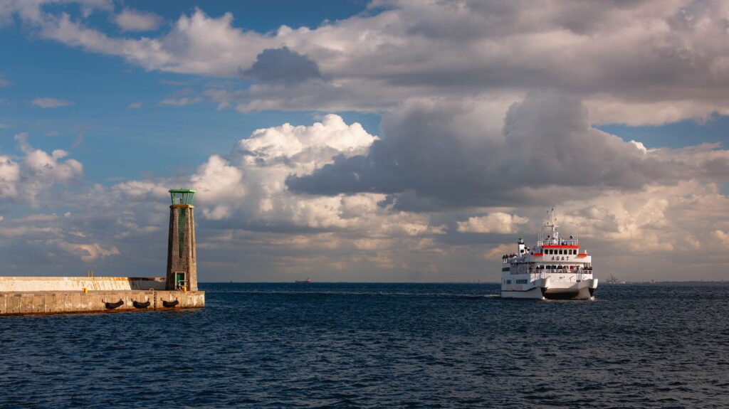
The mechanical bond between the Scottish mainland—specifically from the ports of Ullapool and Mallaig—and the Uist islands rests upon a fleet of multi-role roll-on/roll-off ferries combining commercial freight capacity with passenger transport. Vessels such as the Loch Seaforth or the veteran Lord of the Isles are not simple passenger boats; they act as floating logistic platforms where fuel tankers, emergency ambulances, livestock, and travelers seeking isolation coexist.
The design of these ships responds to the need to operate at piers equipped with fixed or adjustable ramps that must fit millimetrically with the bow or stern of the ship despite the constant oscillation of the tide. Captains and chief engineers face gale-force winds exceeding fifty knots daily when maneuvering in confined basins, a task requiring the combined use of bow and stern thrusters alongside a meticulous reading of local currents.
The ferry is not a conventional means of transport in these latitudes; it is the floating extension of the national highway network, an invisible bridge deployed across saltwater every dawn.
On board, space organization reflects the hierarchy of insular needs. The main deck is reserved for heavy freight, ensuring that local supermarket supply chains and public infrastructure works do not halt, while the upper lounges offer shelter to residents undertaking medical or administrative business on the mainland.
The Causeway: When the Road Crosses the Sea
If maritime transport connects Uist to the outside world, road infrastructure and famous causeways—known locally simply as causeways—vertebrate internal communication across the different islands of the archipelago. Built primarily during the second half of the twentieth century, these rock and embankment structures replaced traditional rowing boat services and small barges connecting North Uist, Benbecula, Grimsay, and South Uist.
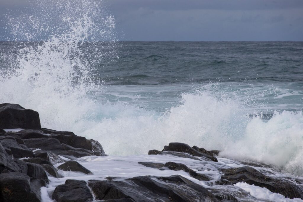
However, creating these roads over the sea has brought unforeseen ecological and physical impacts to local marine ecosystems. By restricting the natural tidal flow between intertidal channels, sediments have accumulated in certain bays, altering currents and forcing modern engineers to incorporate large drainage spans and bridges in central sections to permit the free circulation of water and marine fauna.
The conservation of these roadways requires constant maintenance due to salt corrosion caused by marine aerosols, which rapidly degrade concrete retaining barriers and the metal structures of minor bridges.
Cabotage Economy and Invisible Supply Chains
Behind the white wake left by departing ferries lies a complex economic network based on cabotage and the rigorous management of timetables. For a community of a few thousand residents scattered across a fragmented surface area, the punctual arrival of a cargo ship or ferry is not merely a matter of comfort, but a guarantee of economic survival.
Local industry—especially salmon aquaculture, shellfish harvesting, and the production of traditional Harris and Uist tweed—depends entirely on transit times being met with absolute precision. A twenty-four-hour delay due to a storm can mean the loss of freshness in seafood exports bound for wholesale markets in Glasgow and Paris.
- Daily transport of bulk fuel for local power stations and domestic heating.
- Urgent medical evacuations coordinated between ferry services and maritime rescue helicopters.
- Distribution of grain and feed for the extensive husbandry of native Blackface sheep.
- Deployment of heavy machinery for maintaining electrical grids and telecommunications.

The Human Factor: Crews and Island Communities
No analysis of Uist’s amphibious connectivity would be complete without focusing on the people sustaining this system. CalMac ferry crews are typically composed of local sailors who know every submerged rock and sudden barometric shift. Their work goes far beyond technical navigation; they act as social links, conveying family news between islands and rendering assistance in emergency situations along the loneliest routes of the Atlantic.
For residents, reliance on maritime transport generates a particular psychology rooted in resilience and patience. Weather-related cancellations, known as weather disruptions, form part of the implicit contract of living in the Hebrides. Far from generating chronic frustration, they foster a robust network of neighborly support where community solidarity activates automatically when a ferry is trapped in port for several days.
Living in Uist means accepting that nature sets the rhythm of the human agenda; here time is not measured by clocks, but by wind direction and tide height.
This symbiotic relationship between the population and their communication channels has generated a unique cultural identity deeply rooted in Gaelic music, oral poetry, and a reverential respect for a marine environment that gives and takes life with equal ease.
Practical guide
Planning a trip or understanding the logistics of access to the Uist islands requires rigorous, up-to-date information on the existing transport infrastructure in the Scottish region.

How to get there by sea
The primary access route by ferry is operated by Caledonian MacBrayne (CalMac). There are two main routes from the west coast of Scotland: the Ullapool – Lochmaddy line (connecting to North Uist with an approximate duration of 1 hour and 40 minutes) and the Mallaig – Lochboisdale line (connecting to South Uist in about 3.5 hours, also operating seasonal services from Oban). Booking months in advance is mandatory when traveling with a vehicle due to high seasonal demand for garage space.
Internal road connectivity
Once on the islands, the main road network is paved and signposted, notably the A865 running longitudinally from Berneray in the north to Eriksay in the south, connecting the main islands via toll-free causeways. Caution is advised when driving bulky vehicles due to single-track road sections with passing places and the constant presence of loose livestock on the verges.
Port infrastructure and services
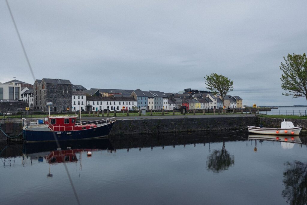
The ports of Lochmaddy and Lochboisdale feature passenger terminals equipped with waiting rooms, accessible restrooms, real-time weather information screens, and freight management offices. Fuel stations, small grocery stores, and tourist information points managed by the local community are located near both piers.
Weather and seasonality
Navigation conditions vary drastically between summer months, characterized by long daylight hours and moderate winds, and the Atlantic winter, when western gales cause frequent cancellations. Travelers are advised to check CalMac’s official website daily and subscribe to SMS alert services to verify the operational status of ferries before embarking toward the terminals.
Visual Epilogue: Sunset at the Stone Docks
When the day’s final ferry casts off from Lochboisdale pier bound for the mainland, the silhouette of granite blocks cuts across a horizon where sky and sea merge into a palette of pearlescent grays and coppery glints. In that instant of absolute silence, interrupted only by the distant call of kittiwakes and the gentle wash of the tide against iron pilings, the true essence of Uist is revealed. It is not a territory isolated by abandonment, but an Atlantic outpost sustained by engineering, maritime memory, and the unbroken pulse of a community that has made the sea its perpetual bridge to the world.