Introduction to the Atlantic Outpost of the Bisagos
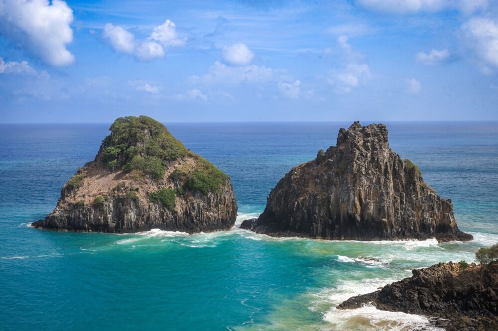
The Bisagos Archipelago, located off the coast of Guinea-Bissau, represents one of the most complex and isolated island enclaves in the West African Atlantic facade. Comprising roughly eighty islands and islets—of which only about twenty are permanently inhabited—this territory constitutes a UNESCO-recognized biosphere reserve where industrial modernity has barely penetrated. In this ecosystem of dense mangroves, unpredictable tidal channels, and shifting sandbars, transportation does not follow the logics of global corporate optimization, but rather a delicate daily negotiation with natural forces. Understanding mobility in the Bisagos requires abandoning any expectation of immediacy and entering an intermodal system where hand-carved dugout canoes coexist with motorized pirogues and occasional cargo barges.
For decades, geographical isolation has functioned both as a protective mechanism for the traditions of the Bissaga people and as a severe obstacle to the basic socioeco-nomic development of their communities. The routes connecting the main islands—such as Bubaque, Bolama, Orango, or Uno—with the continental port of Bissau are not governed by rigid airline schedules or high-speed trains, but by tide tables and the capricious behavior of the Atlantic Ocean. This report examines the invisible infrastructure sustaining life in the archipelago, analyzing the technical, human, and environmental challenges of a transport system operating at the edge of its carrying capacity.
The Geography of Isolation and Fluvial Dependence
The insular territory of the Bisagos is characterized by a dynamic morphology where the coastline is constantly rewritten with every tidal cycle. Navigational channels meander through labyrinths of mangroves that act as natural barriers, precluding the use of deep-draft vessels. This physical condition dictates that all connectivity depends on small- and medium-sized craft capable of navigating shallow depths and violent cross-currents. The lack of modern ports on most islands forces passenger and cargo loading operations to take place directly on open beaches, with travelers and goods wading through shallow waters.
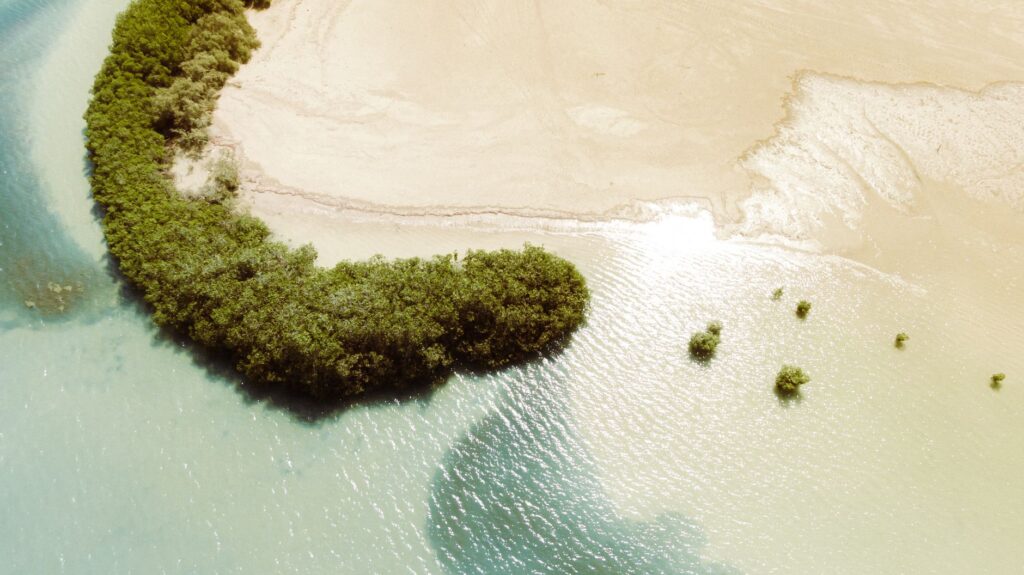
Fluvial and maritime dependence is not merely a matter of tourism or commercial convenience, but the umbilical cord guaranteeing the survival of thousands of residents. Non-locally produced food, construction materials, medicines, and fuel arrive exclusively through this cabotage network. However, the scarcity of modernized fleets and the technical obsolescence of available vessels generate permanent bottlenecks. The barges connecting Bubaque with the capital suffer frequent interruptions due to mechanical failures, spare parts shortages, or adverse weather conditions during the rainy season.
The Evolution of the Fleet: Between Tradition and Necessity
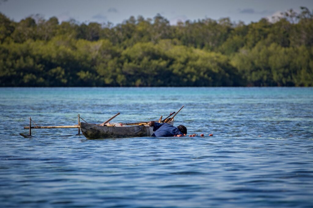
The aquatic transport park of the Bisagos is in full transition between ancient tradition and adaptation to contemporary demands. Traditionally, the monoxyle dugout canoe—carved from a single trunk of kapok or other local species—has been the pillar of inter-island navigation. These vessels, handled skillfully with paddles or makeshift sails by local fishermen, remain vital for short trips between neighboring islands. Their lightness allows them to clear sandbars with agility, though their cargo capacity is strictly limited and their vulnerability in heavy seas is evident.
In parallel, the progressive introduction of outboard motors on fiberglass boats has partially transformed passenger routes, cutting travel times that once demanded entire days of rowing. Nevertheless, this technological advance has brought new economic and environmental challenges. The high cost of imported fuel and the difficulty of acquiring quality lubricants cause many units to operate under suboptimal maintenance conditions. Local operators face a constant financial dilemma: setting affordable fares for a population with low purchasing power or raising prices to cover the accelerated wear of rolling stock in such an aggressive saline environment.
Port Infrastructure: Precarious Docks and the Logistical Challenge
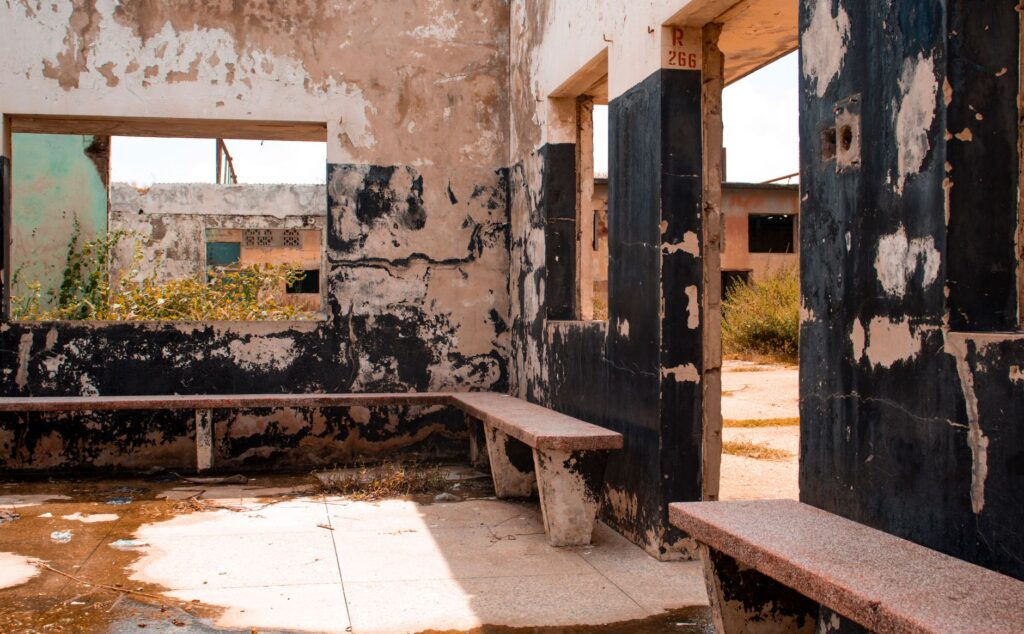
The terrestrial infrastructure network linked to transport within the archipelago is remarkably rudimentary. Except for the historic dock in Bolama—a legacy of the Portuguese colonial era that now shows advanced signs of structural fatigue—and targeted interventions in Bubaque, formal docking points are virtually non-existent. Heavy goods and supply vehicles must be transferred from barges using unstable wooden planks or carried directly on the shoulders of local porters walking through mud.
This logistical precariousness exponentially increases the cost of any product entering or leaving the islands. Supply chains suffer recurrent disruptions when spring tides or trade winds prevent safe vessel docking. The absence of cold storage rooms or adequate storage facilities at transfer points further limits the commercialization of fresh fish and local agricultural products, preventing island producers from accessing higher-paying continental markets with guarantees.

The Impact of Climate Change on Ocean Routes
Global warming and the consequent sea-level rise add a critical layer of uncertainty to mobility across the Bisagos Archipelago. Traditional navigation channels, committed to memory by local captains for generations, are undergoing unpredictable morphological modifications. Sandbars that once delimited safe channels have shifted, and accelerated coastal erosion alters the visual landmarks used to navigate in open water.
Likewise, the intensity and frequency of seasonal tropical storms have shifted, reducing the temporal window of safe navigation. Local authorities and community organizations strive to document these variations, but the lack of updated nautical charting systems and operational weather radar on the islands leaves mariners exposed to sudden atmospheric shifts. The fragility of this transport system thus becomes a direct indicator of the socio-ecological vulnerability of the entire insular territory in the face of the global climate crisis.
The Underground Transport Economy and the Human Factor
Behind every crossing between the Bisagos islands operates a complex network of informal economy regulating seat allocation, fare collection, and cargo distribution. In the absence of a centralized management body for inter-island public transport, mobility relies on customary agreements among boat owners, merchants, and community leaders. This informality provides admirable flexibility in the face of unforeseen events, but it also leaves passengers unprotected against abusive pricing practices or systematic vessel overloading during local festivities.
The human factor is, ultimately, the true engine of this machinery. The captains and sailors of the Bisagos possess exceptional empirical knowledge of currents, winds, and the biological rhythms of the estuary. Their skill at the helm, frequently acquired since childhood, compensates for the lack of sophisticated navigation instruments like GPS or sonar. Nonetheless, economic pressure occasionally pushes them to assume excessive risks, setting sail with overloads or unfavorable weather forecasts out of an urgent need to connect isolated communities or transport the sick to the archipelago’s scarce health centers.
Mobility in the Bisagos is not a standardized service; it is a daily choreography where community survival is negotiated meter by meter against the tide and administrative oblivion.
The integration of this territory into sustainable ecotourism routes—nascent yet growing—raises new questions about the transport system’s carrying capacity. The arrival of travelers interested in marine fauna and Bissaga culture clashes head-on with current logistical limitations. Increasing visitor flows without collapsing existing fragile infrastructures requires strategic design that prioritizes improving nautical safety and diversifying eco-friendly transport means without altering the social and environmental balance defining the archipelago.

Practical guide
Planning a trip or exploratory journey through the Bisagos Archipelago requires a rigorous understanding of its logistical and temporal limitations. The following information synthesizes verified data to access and move across this insular territory safely and respectfully toward the environment.
- Continental Access: The mandatory starting point is the port of Bissau (Pidjiguiti) on the mainland. From there, scarce commercial barges and motorized pirogues operate toward the main islands. There are no fixed schedules published online; departures depend on the tide and the vessel reaching its cargo quota.
- Main Routes: The busiest route connects Bissau with Bubaque Island, with an approximate duration ranging between four and seven hours depending on the vessel and sea conditions. From Bubaque, local pirogues can be hired to reach secondary islands such as Orango, Uno, or Caravela.
- Accommodation and Supplies: Hotel infrastructure is extremely limited and concentrated in Bubaque and Orango. It is essential to carry sufficient cash (CFA francs), as there are no operational ATMs in the archipelago, alongside basic medicines and water purification systems.
- Safety and Seasonality: Navigation is strongly discouraged during the peak rainy season (July to October) due to the violence of Atlantic storms. Hiring authorized local guides for navigating complex channels and strictly respecting biosphere reserve regulations is mandatory.
Traveling through the Bisagos means accepting that the traveler’s time must submit to the relentless rhythm of the tide and the generosity of those who traverse the Atlantic in silence.
The Atlantic horizon of the Bisagos unfolds at dusk as a dark mirror where sky and water fuse their boundaries without fanfare. On the white sand beaches of Bubaque, the silhouettes of dugout canoes rest on the shore while fishermen mend their nets in the dim light of kerosene lanterns. This landscape of apparent quietness conceals the constant tension of a community that has made marine transit its form of cultural resistance. Far from the noise of commercial aviation and large asphalt highways, these islands remind us that the true measure of human mobility does not lie in the speed with which distances are crossed, but in the profound respect toward the fragile threads connecting human beings to their natural environment.