
Introduction to the Atlantic Outpost and Its Insular Geography
In the heart of the North Atlantic, midway between Europe and the American continent, the Azores unfold as a volcanic archipelago where the sea is not merely a geographical feature, but the primary artery sustaining daily life. Among its nine islands, Faial occupies a strategic position within the so-called Triangle, alongside neighboring Pico and São Jorge. Cabotage navigation and the management of port infrastructures have historically served as the lifeline for communities dependent on the punctual arrival of supply ships to secure provisions, fuel, and medical supplies.
Faial’s rugged topography, dominated by the imposing central caldera and the secondary craters of Capelinhos, has historically shaped human settlements along the most sheltered coastal strips. For centuries, the absence of safe roads crossing the volcanic peaks made cabotage the sole rapid and reliable means of inter-community communication. Today, although the island road network is fully paved and modernized, reliance on tidal ports continues to dictate the social and economic pulse of the island, especially when winter storms temporarily isolate exposed roadsteads.
The Port of Horta: Historic Haven for Transatlantic Navigators
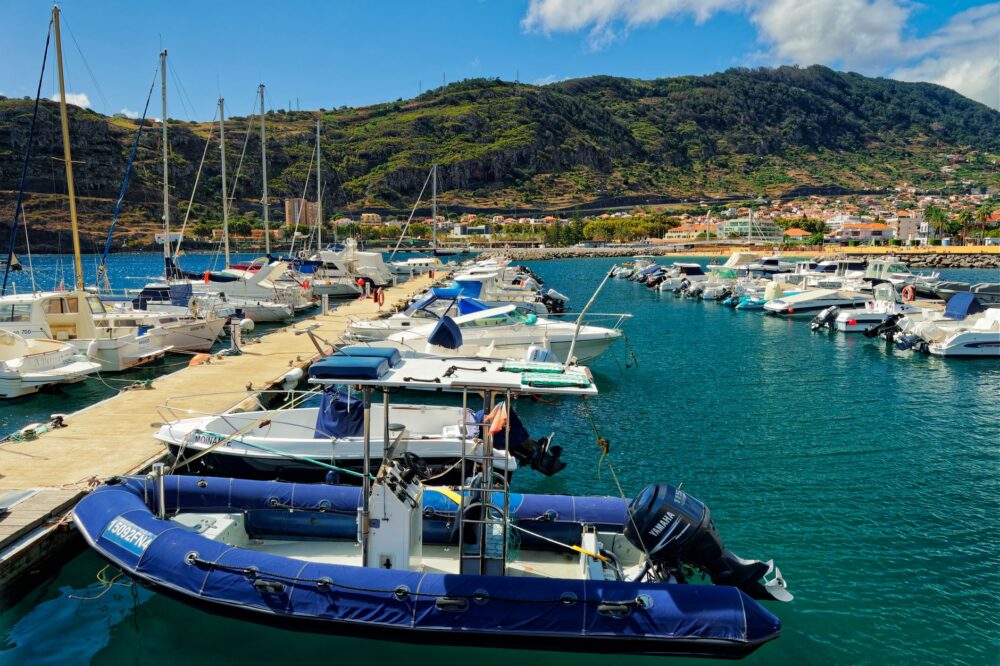
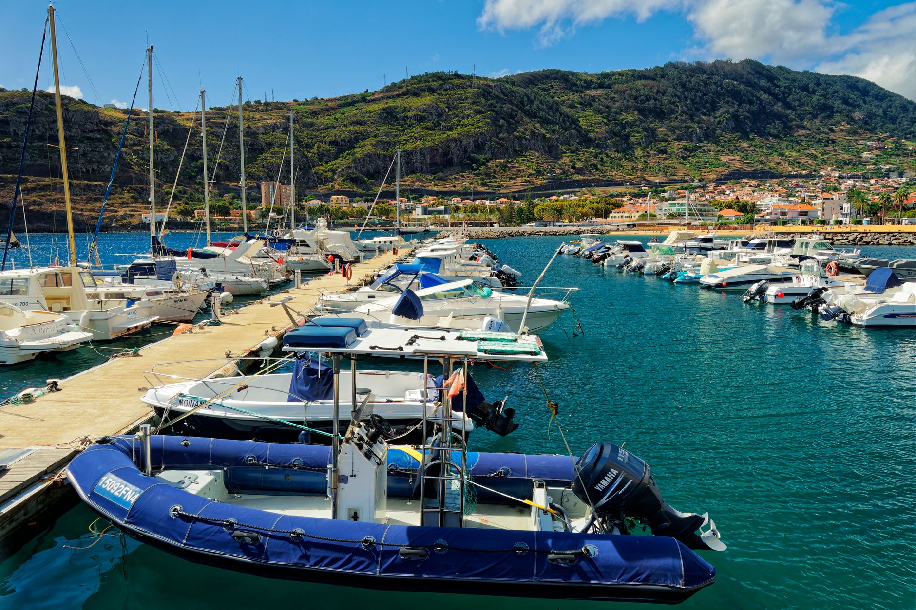
The port of Horta is not merely a commercial or fishing basin; it is a true sanctuary of international yachting. Protected from ocean swells by the volcanic cone of Monte da Guia, this natural shelter has offered safe harbor to explorers, whalers, scuba divers, and solo sailors since the dawn of the modern era. Regional port authorities manage a constant flow of vessels crossing the Atlantic here, turning Horta’s docks into an obligatory port of call where scientific crews, offshore yachts, and local ferries mingle.
The current infrastructure combines the historic basin with modern breakwaters capable of accommodating larger vessels. Nevertheless, the essence of the place lies in its harbmaster’s office and Peter’s Café Sport, where the walls and breakwaters are splattered with paintings created by sailors documenting their passage. This open-air pictorial archive stands as tangible proof that Horta has always functioned as a human bridge between continents, a haven where port engineering merges with Azorean maritime hospitality.
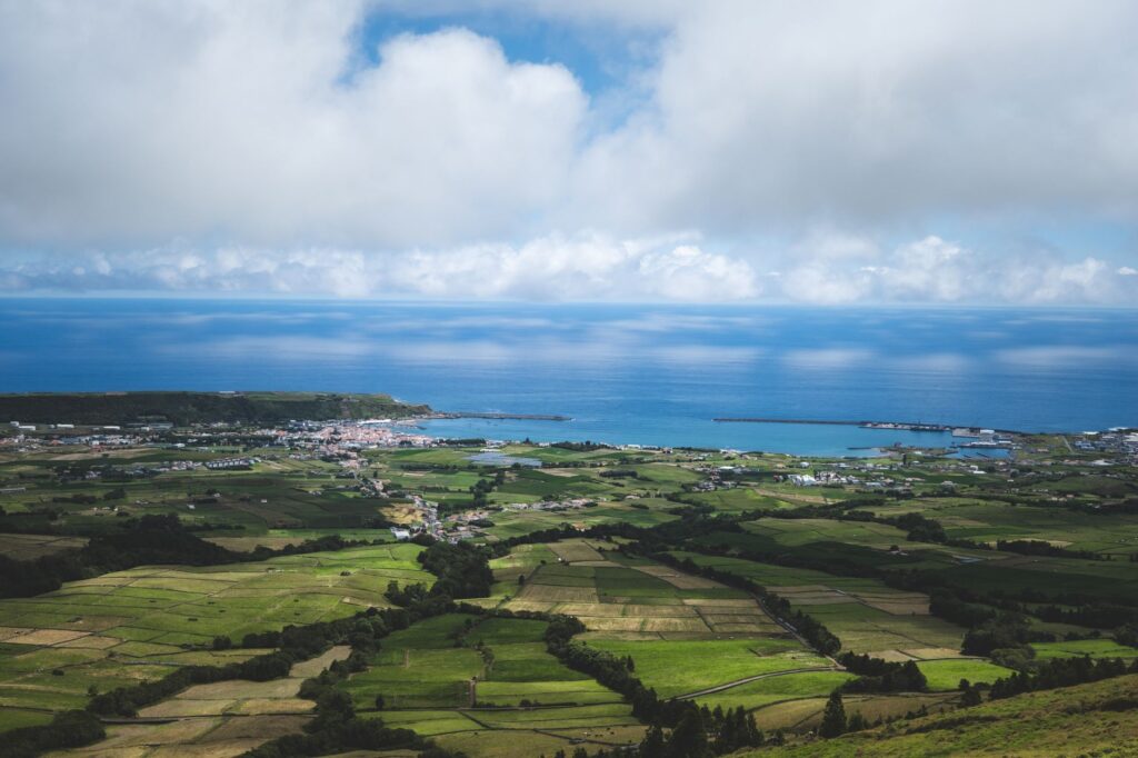
The port of Horta does not merely anchor ships to the seabed; it anchors the stories of thousands of sailors who have made this Atlantic corner their temporary home.
Mailboats and Regular Transit across the Channel
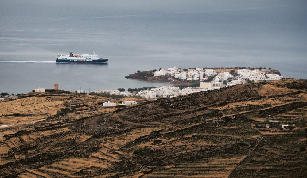
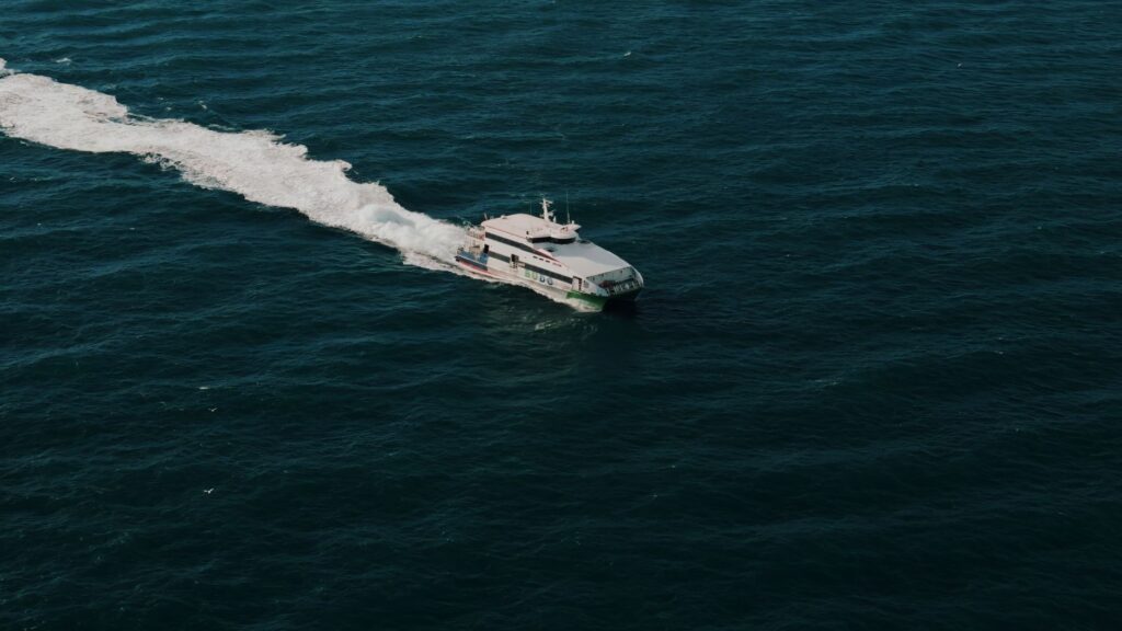
The channel separating Faial from the neighboring island of Pico, barely eight nautical miles wide, constitutes one of the busiest and most complex internal navigation routes in the entire autonomous region. Mailboats and modern passenger ferries operate as a true maritime subway, connecting both territories multiple times daily under any weather conditions. This regular service is not a tourist luxury, but an essential public service enabling residents to commute for professional, medical, or educational reasons without permanently residing on the island capital.
Operations in this channel demand meticulous precision from crews and shore operators. Currents generated by Atlantic tides, combined with dominant southwestern winds, create cross-seas that test vessel stability. To guarantee safety, boarding docks in both Horta and Madalena do Pico have undergone continuous technical upgrades, incorporating articulated hydraulic ramps that adapt to spring tide differentials and facilitate the rapid transfer of vehicles and passengers.
Engineering and Resilience Against the Fury of the Atlantic
Designing and maintaining port infrastructures in the middle of the Atlantic is a constant challenge against the elements. Winter storms, known locally as nortadas or western gales, strike the dikes with colossal energy capable of displacing multi-ton concrete blocks. Applied civil engineering in Faial has had to evolve from ancient masonry wharves to current rubble-mound breakwaters featuring wave-dissipating structures, designed to absorb and scatter the destructive force of swells before they penetrate inner basins.
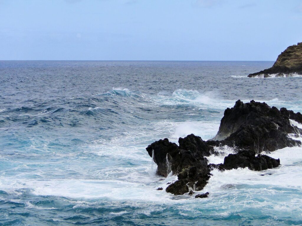
This technical effort is not limited to Horta’s major infrastructure; it extends to small fishing ports scattered along the northern and southern coasts, such as Castelo Branco or Fajãzinha. In these enclaves, the protection of traditional artisanal fishing boats depends on breakwater systems meticulously calculated to curb groundswells. Collaboration between local fishermen and public works engineers proves fundamental in understanding which areas suffer the greatest wear and how to apply solutions respecting the fragile ecological balance of the coastal strip.
The Shadow of Capelinhos: When Land Outpaces the Sea
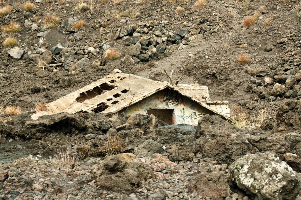
Faial’s recent geological history is deeply tied to the Capelinhos volcanic complex, whose submarine eruption between 1957 and 1958 drastically reshaped the island’s western morphology and altered navigation routes. That cataclysm not only expanded the landmass by creating a barren, ash-strewn territory but also buried old fishermen’s wharves and forced a redesign of the area’s maritime approaches. Airborne ash and newly formed shoals compelled cartographers to completely update navigational charts for the northwestern sector.
Today, the half-buried Capelinhos lighthouse stands as a silent monument to that natural catastrophe and the subsequent transformation of the coastal landscape. For modern navigators, this volcanic headpoint represents an unmistakable visual landmark when circumnavigating the island, reminding all that human infrastructures remain perpetually subordinated to the region’s capricious and dynamic tectonics. The subterranean interpretation center excavated beneath the ash offers rigorous scientific perspective on how submarine fire forged Faial’s current geographic and insular framework.
The Whaling Legacy and Its Conversion into Port Memory
During the nineteenth and much of the twentieth century, Faial’s maritime economy revolved around the whaling industry, a harsh and perilous activity leaving an indelible mark on the island’s coastal architecture. Old oil processing factories and slipways situated at strategic coastal points were the destination for cetaceans sighted from lookouts perched high on seaside cliffs. Today, this industrial infrastructure has been reconverted into museums and interpretation centers documenting the transition from whale hunting toward modern whale watching and scientific tourism.
The old rowing boats used by local harpooners now rest in exhibition rooms alongside antique barrels and rendering vats. This heritage conversion allows visitors to understand how insular isolation fostered a spirit of radical self-reliance, where every resource obtained from the sea was maximized. The memory of those sailors persists in modern docks, where ancient coastal lookouts have swapped whale-spotting binoculars for cameras and underwater listening equipment to guide naturalists.
Sustainability and the Future of Insular Connectivity
In the twenty-first century, the great challenge facing Faial’s maritime transport system is the decarbonization of its fleet and the minimization of environmental impact within its protected waters. The Azorean port authorities are promoting pilot projects to electrify docking piers, allowing ferries to shut down their auxiliary diesel engines while moored in Horta, thereby drastically reducing local carbon dioxide emissions and noise pollution within the urban basin.
Likewise, the integration of renewable energies, such as rooftop solar photovoltaics on passenger terminals, aims to achieve energy self-sufficiency for port facilities. This commitment to green sustainability is vital for preserving the rich marine ecosystems of the Faial channel, a biological corridor frequented by resident and migratory cetaceans. Balancing maritime traffic development with marine conservation thus consolidates as the only viable path to ensure the future of this Atlantic community.
Practical guide
How to get there: Horta International Airport (HOR), located in Castelo Branco, receives regular daily flights from Lisbon operated by SATA Air Açores, alongside seasonal connections with other European capitals. Frequent inter-island flights also link Faial with São Miguel and Terceira.
Maritime transport: The Atlanticlitoral shipping line operates regular passenger and vehicle ferry services between Horta (Faial) and Madalena (Pico), with crossings lasting a mere 30 minutes. During summer months, extended routes connect the entire insular Triangle.
When to travel: Months spanning from June to September offer the most stable and calm weather conditions for recreational sailing and whale watching. Winter brings dramatic landscapes but restricts maritime mobility.
Documentation and health: As part of Portugal and the European Union, EU citizens need only a valid ID card or passport. The European Health Insurance Card is valid, though specific travel insurance for nautical activities is recommended.
Local tip: Always respect instructions from local port authorities and consult meteorological bulletins before planning crossings in small vessels through the Faial channel, as sea conditions can change unexpectedly.
The Final Echo of the Tide on the Blue Horizon
As the sun begins to dip below the Atlantic horizon, painting Faial’s volcanic slopes of Monte da Guia in golden and copper tones, Horta’s docks reclaim a solemn calm following the daytime bustle of ferries and sailboats. In that moment of stillness, the rhythmic sound of water striking stone blocks seems to connect the island’s seafaring past with an uncertain yet dignified future. Faial remains, in its oceanic isolation, a beacon of human resilience where the sea dictates the rules, welcomes weary travelers, and keeps the archipelago’s eternal promise alive.