
In the blue heart of the Aegean Sea, where northern currents intertwine con seasonal Etesian winds, the Cycladic archipelago is not merely a collection of white silhouettes etched against the horizon, but a living organism whose blood circulation depends entirely on saltwater. Since the times when Cycladic civilizations sculpted marble idols and transported them in fragile rowing vessels, the survival and prosperity of these lands have been inextricably linked to the art of navigation. Naxos, the largest and most fertile island of the group, embodies this amphibious duality with singular precision: a mountainous territory of thriving interior valleys that nevertheless looks perpetually toward the dock.
The transport system sustaining daily life in Naxos and its connections with the Athenian port of Piraeus represents a delicate balance between contemporary port engineering and commercial routes inherited from antiquity. While massive conventional ferries and modern high-speed catamarans guarantee the uninterrupted flow of passengers, goods, and heavy vehicles, smaller-draft vessels continue to weave a capillary network toward lesser islets and coves difficult to access by land. This report examines the complex human and technical machinery that allows Naxos to beat in rhythm with the sea.
The Stone Gateway and the Breakwater: Anatomy of the Main Port
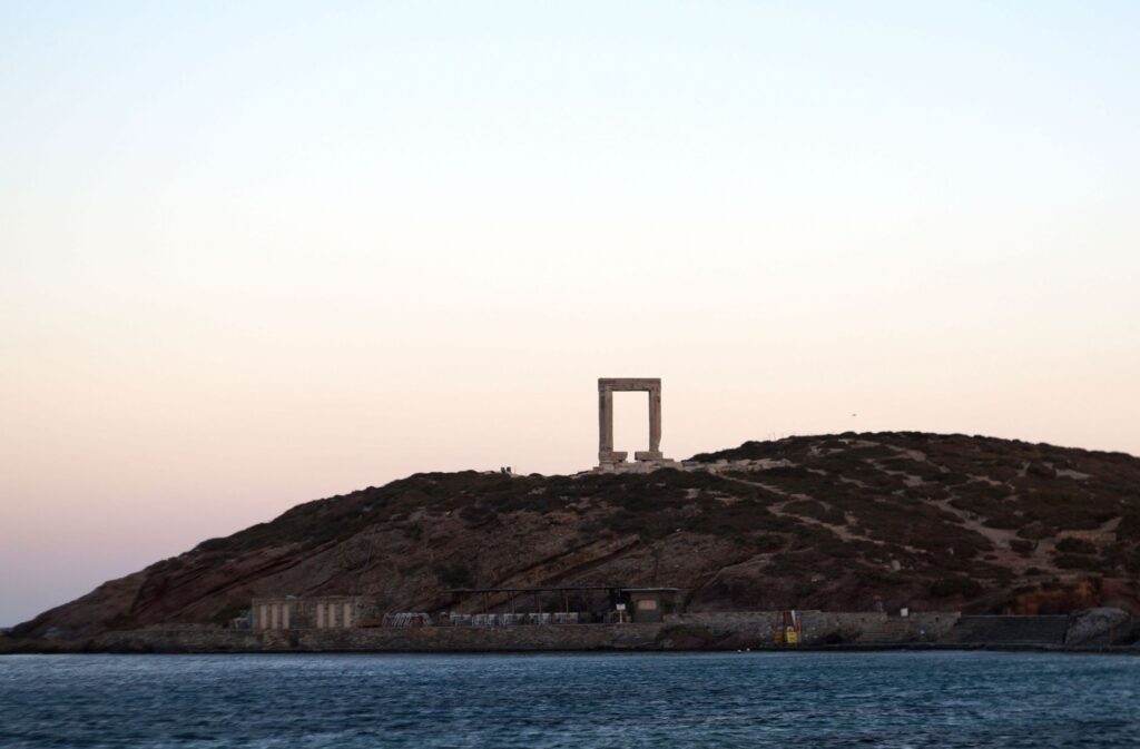
The port of Naxos, dominated on its northern breakwater by the imposing contour of the Portara—the unfinished portal of the Temple of Apollo dating back to the sixth century BCE—functions as the true nerve center of the island. The current basin is no caprice of nature, but the result of decades of successive expansions designed to protect fleets from the violent northern onslaughts. On days when the meltemi blows fiercely, the outer pier turns into a barrier of foam and roaring spray where the skill of ferry captains is constantly put to the test.
Port infrastructure combines traditional stone with submerged reinforced concrete blocks designed to dissipate the kinetic energy of waves without drastically altering the bay’s sedimentation. Throughout the day, this space undergoes constant metamorphosis: at dawn, island distribution trucks unload fresh produce from the agricultural plains of Tragea; at noon, the dock buzzes with the simultaneous arrival of tourists and seasonal residents; and as evening falls, calm returns with the departure of the last vessels toward the lesser archipelago.
The Grand Aegean Route: Line Ferries and the Logistics of Piraeus
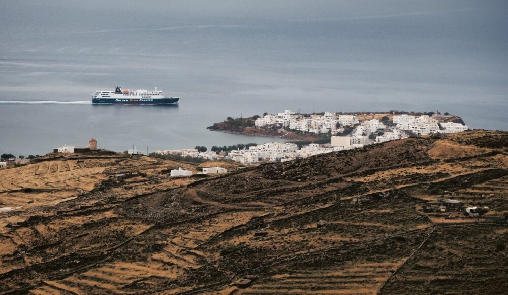
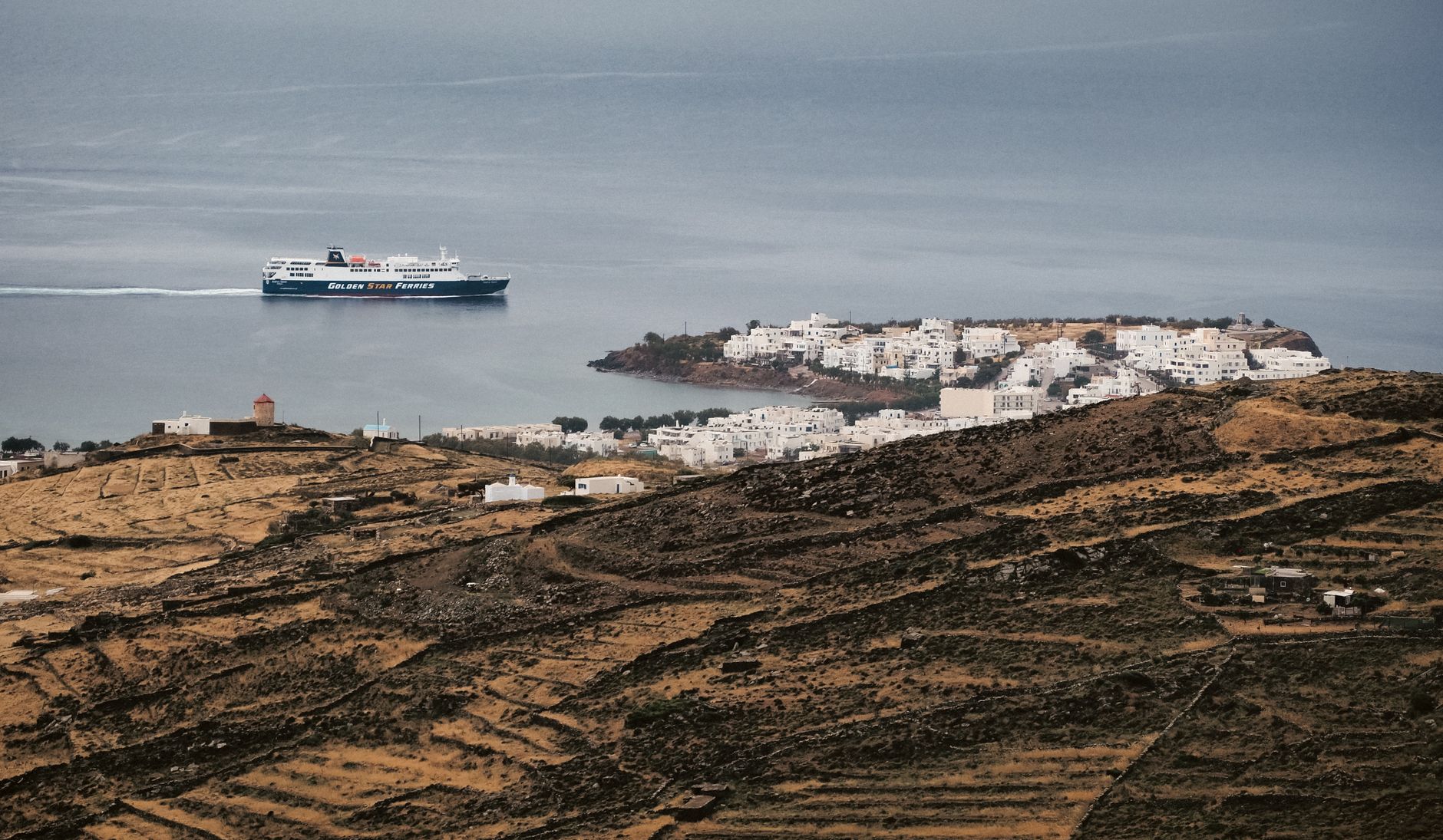
The backbone connecting Naxos to the mainland is the regular shipping line operated by large passenger and roll-on/roll-off cargo ferries. Shipping companies such as Blue Star Ferries or Hellenic Seaways deploy vessels over one hundred meters long operating twenty-four hours a year, defying even winter gales. These ships are not mere passenger transport; they act as authentic floating supply lines carrying everything from fuel and building materials to essential medical supplies for the local hospital.
The planning of these routes requires millimeter precision from port authorities and maritime captains. Port turnaround times in Naxos are calculated to the minute: sometimes barely ten or fifteen minutes suffice to disembark dozens of automobiles, semi-trailer trucks, and a hundred and fifty travelers while embarking those returning to the mainland. This maritime choreography demands seamless synchronization between the ship’s hydraulic ramps and operators stationed on the concrete pier.
Catamarans and High Speed: Shortening Insular Time
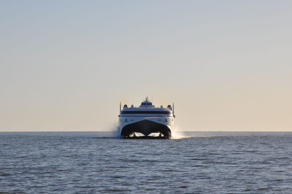
Facing the leisurely voyage of conventional ferries, high-speed catamarans and hydrofoils have radically transformed the spatial perception of the Aegean over the past three decades. Capable of doubling the speed of traditional vessels, these twin-hulled craft reduce the journey between Piraeus and Naxos to just over three and a half hours, shrinking distances and enabling unprecedented labor and tourist mobility.
However, high speed carries severe operational constraints. The lightweight hulls and waterjets of these vessels are extremely sensitive to adverse weather conditions. When wind speeds exceed seven on the Beaufort scale, navigation restrictions are immediately imposed, forcing cancellations and disrupting the logistics chain across the entire region. Naval engineers and local operators continuously work on improving stabilization systems and designing new basins capable of sheltering this rapid traffic without compromising safety.
The Lesser Fleet: Traditional Caïques and Proximity Cabotage
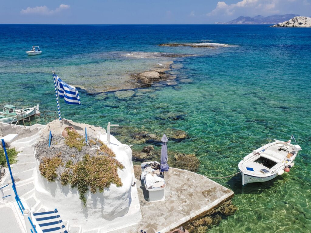
Beyond the major commercial routes connecting Naxos with the mainland and neighboring islands like Paros, Mykonos, or Santorini, a human-scale maritime world resists standardization. Traditional wooden caïques, partly repurposed today for nautical tourism but faithful in essence to classic riparian design, operate as irreplaceable links toward the island’s southern beaches and coastal enclaves devoid of paved roads.
These riperian workboats, characterized by rounded bows and low-displacement diesel engines with high torque, ply the protected waters of local straits leveraging the empirical knowledge of captains who know every shoal and tidal current. The maintenance of these vessels constitutes an endangered intangible heritage preserved in small artisanal shipyards where traditional boat carpenters continue applying centuries-old caulking and rib-bending techniques.
Terrestrial Roads and Interior Connections: The Bridge Between Port and Valleys
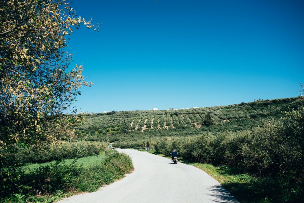
No port system can survive while turning its back on the territory sustaining it. In Naxos, maritime connectivity extends into a network of secondary roads ascending from the coastal capital—known as Chora—toward the mountain villages of Apiranthos, Filoti, or Danakos. This road network, progressively modernized over the past half century, allows goods arriving on morning ferries to reach local markets in under an hour.
Public insular transport, managed by the local bus cooperative (KTEL), schedules its arrivals symbiotically with major ferry docks. When a vessel berths at the Chora pier, a fleet of green vehicles waits in the port esplanade to disperse travelers toward interior valleys and western coast tourist resorts, ensuring a structured flow that prevents excessive urban congestion in the historic core.
Contemporary Challenges: Sustainability, Energy, and Tidal Management
The future of Naxos’s transport system faces complex crossroads transcending mere tourism economics. The energy transition toward low-emission shipping fleets and the electrification of docks to prevent large vessels from running auxiliary engines during layovers are among Greek port administration investment priorities. Likewise, growing cargo volumes during summer months test the carrying capacity of infrastructure originally conceived for much lower scales.
Added to this is climate vulnerability driven by rising sea levels and higher frequencies of exceptional storms in the eastern Mediterranean. Civil engineers constantly evaluate the need to reinforce outer breakwaters and redesign port drainage systems to protect Chora’s waterfront against combined assaults of astronomical tides and low barometric pressure.
The port is not merely the boundary where land surrenders to water, but the threshold where the insular community engages daily dialogue with the immensity of the outside world.
The identity of Naxos resides precisely in that balanced tension between protective insularity and constant openness to maritime traffic. Every wake ferries leave in the bay as they set sail toward the sunset is a reminder that the freedom of these lands depends as much on the strength of agricultural roots as on the efficacy of communication routes.
Practical guide
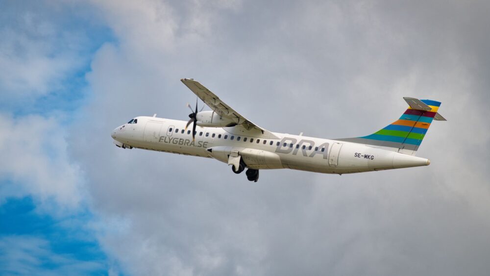
How to get there: The primary route is maritime transport from the port of Piraeus (Athens), lasting between three and a half hours (fast catamaran) and five and a half hours (conventional ferry). Regular flight connections also operate from Athens International Airport to the small Naxos National Airport, serviced by small turboprop aircraft.
When to travel: May through June and September through October offer optimal navigation and weather conditions, avoiding the peak summer traffic of July and August and strong meltemi winds characterizing high season.
Internal transit: The KTEL bus network connects Chora with major villages and beaches. Renting all-terrain vehicles or motorcycles is highly recommended to access remote coves and secluded rural settlements.
Logistical advice: During summer months, ferry tickets must be booked weeks in advance, especially when traveling with private vehicles or cargo trucks, due to strict capacity limits on boarding ramps.
Accommodation and services: The highest concentration of hotel infrastructure and port services is located in Chora and the western coastal settlements of Agios Prokopios and Agia Anna.
Documentation: Valid national ID or passport is required for all domestic Greek ferry travel, with identity checks conducted at Piraeus boarding terminals.
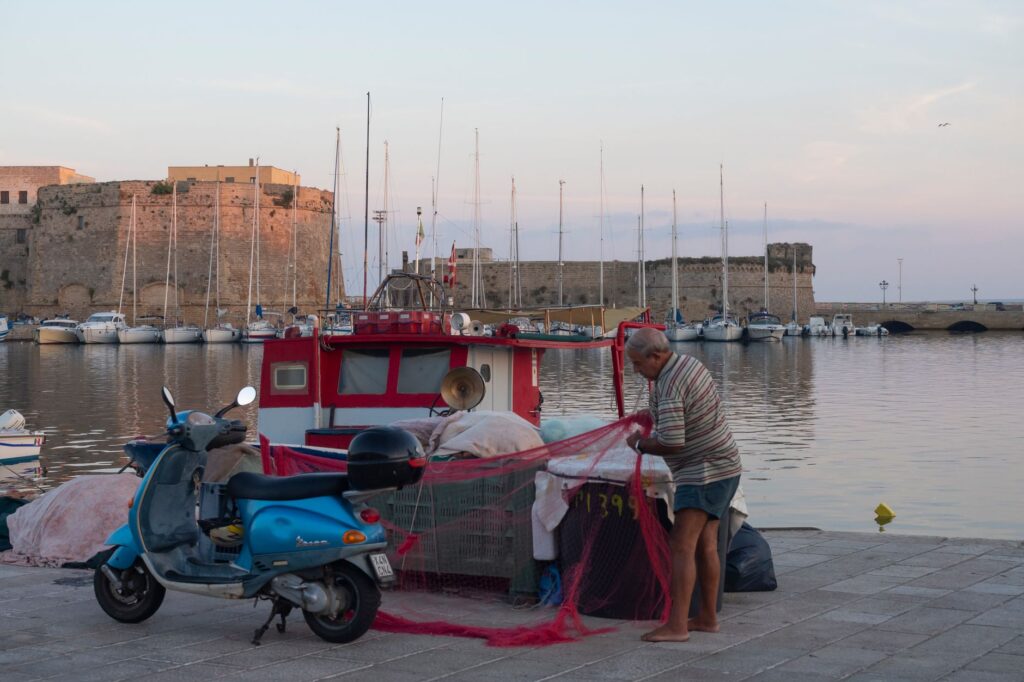
Visual Epilogue: The Last Reflection in the Chora Basin
As the sun slowly descends behind the distant silhouette of neighboring Paros island, golden light bathes the marble blocks of the Portara and casts long shadows over the moorings of fishing boats tied up in the old harbor. In that moment of evening truce, when the bustle of large ferries temporarily fades, Naxos reveals its true face: a millenary refuge where the pulse of the Aegean continues beating with the exact same strength that propelled the first wooden keels more than four millennia ago.