
The Hauraki Gulf, opening like a vast blue amphitheater before the skyscrapers of Auckland, is far more than a geographical feature of sheltered waters and volcanic profiles; it is a delicate ecosystem of human transit where urban modernity collides daily with insular isolation. Just a few nautical miles from the bustle of the Waitemata Harbour, the geography fragments into dozens of islands requiring meticulous logistical choreography to maintain the pulse of their communities. Understanding this territory involves immersing oneself in an intermodal transport network where high-speed catamarans, heavy cargo barges, and small airstrip bush planes operate under the relentless dictate of Pacific winds and tidal currents.
The backbone of this mobility system lies within Auckland’s central maritime terminal, the convergence point where thousands of residents and daily commuters board ferries linking the metropolis to insular enclaves. Far from being a mere recreational service, these vessels act as the umbilical cord for islands like Waiheke, where the resident population relies entirely on nautical punctuality to access healthcare, education, and basic supplies on the mainland. Every thirty-five-minute crossing across the channel is not merely a commuter run, but a continuous demonstration of naval engineering applied to managing massive passenger flows in waters frequently churned up by southern gales.
The Waitemata Maritime Artery and the Commuter Fleet
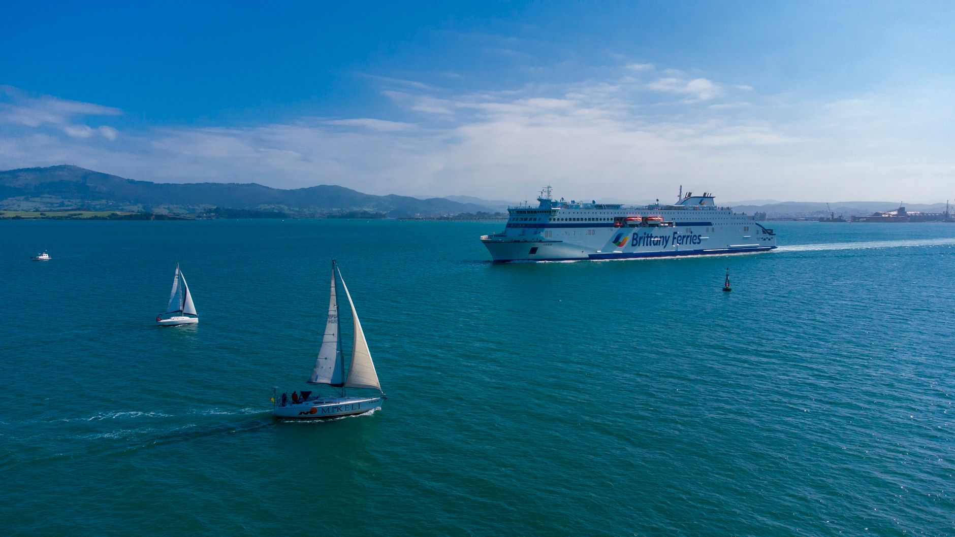
Daily transit across the Auckland harbour relies on a technologically advanced fleet of catamarans capable of sustaining high cruising speeds without damaging the fragile marine environment with excessive wakes. These vessels, operated under strict environmental regulations, incorporate optimized aluminum hulls designed to minimize fuel consumption and reduce erosion along protected coastline lines. The operational management of this service requires seamless synchronization with local buses of the Auckland Transport (AT) network, allowing travelers to execute transfers with minimal friction at the Matiatia insular terminals.
However, the reliance on a centralized maritime infrastructure exposes the system to significant vulnerabilities during extreme weather events. When northeasterly winds reach gale force across the gulf, the port authority is forced to suspend departures, temporarily isolating Waiheke and paralyzing the tourism and service economy sustaining the island. This seasonal fragility compels transport planners to seek contingency alternatives, though underwater geography and a scarcity of alternative ports drastically limit operational diversion options during climate crises.

The Eastern Leap: The Logistics of Great Barrier Island
Beyond the relative shelter of Waiheke rises Aotea, internationally known as Great Barrier Island, a territory of rugged topography where connectivity takes on a radically different character. Unlike its western neighbor, Great Barrier lies over ninety kilometers from Auckland, transforming every journey into a high-seas expedition. Maritime connections depend on roll-on/roll-off (RORO) cargo barges operating from Wynyard Quarter to Tryphena or Port FitzRoy, taking up to four and a half hours to navigate the treacherous waters of the outer channel. These vessels transport not only passengers but the entirety of the fuel, building materials, and fresh provisions consumed by the island’s permanent inhabitants.
The reliance on heavy maritime supply generates highly specific logistical dynamics in Aotea, where tidal schedules and sea states dictate merchandise availability in local shops. Compounding this is an interior road network characterized by unpaved stretches, steep gradients, and single-lane bridges that mandate the exclusive use of four-wheel-drive vehicles and reinforced-axle trucks. The terrestrial transport infrastructure on Great Barrier stands as a testament to resilience against rainfall erosion, requiring constant maintenance by local authorities to prevent the isolation of entire rural communities during the southern winter months.
The Aerial Alternative: Grass Strips and Bush Aviation
When the Hauraki Gulf sea becomes impassable for cargo ferries or when medical urgency demands it, archipelago connectivity falls upon light aviation. The airfields of Claris and Okiwi, situated in strategic valleys on Great Barrier Island, operate as vital enclaves for short takeoff and landing (STOL) twin-engine aircraft. These planes regularly connect the insular grass strips with Auckland Airport in a mere thirty minutes, offering an indispensable lifeline for patient evacuation and urgent mail delivery.
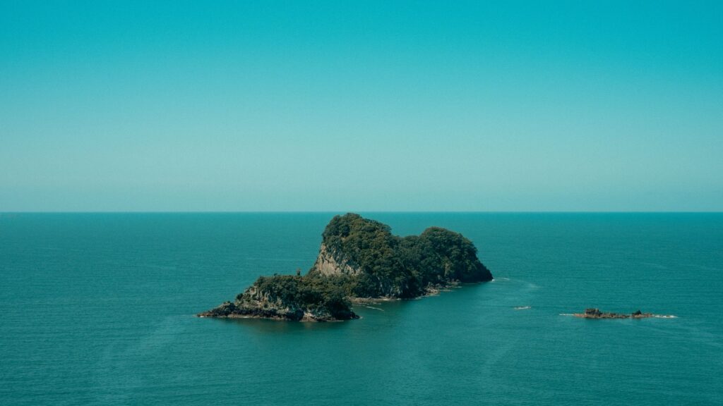
The management of these low-intensity aviation facilities contrasts sharply with the complexity of major international airports, depending on visual approach systems and the expertise of pilots accustomed to dealing with crosswinds and sudden fog banks rolling down from forested peaks. Intermodality in the gulf acquires its most fragile and costly expression here, where airfares function both as a luxury item for seasonal visitors and a survival subsidy for elderly residents requiring specialized medical care on the mainland.
Minor Cabotage and Anchorage Routes
Beyond regulated commercial routes, the gulf harbors a silent network of minor cabotage vessels, utility yachts, and water taxis weaving invisible connectivity among smaller islets such as Motuihe, Rangitoto, or Tiritiri Matangi. These smaller craft play a foundational role in environmental conservation, transporting park rangers, scientific volunteers, and invasive species eradication teams to restricted-access natural reserves.
Navigation in these protected waters is subject to extremely rigorous biosecurity protocols to prevent the spread of pests and plant diseases threatening native kauri forests and indigenous fauna, such as the rare brown kiwis inhabiting isolated zones. Every minor vessel captain must certify hull and footwear cleanliness, turning maritime transport into an active sanitary barrier safeguarding the archipelago’s ecological integrity against constant anthropogenic pressure.
Contemporary Challenges: Decarbonization and Naval Electrification
Over the past decade, the push to reduce carbon emissions has radically transformed transport strategy across the Hauraki Gulf. Ferry operators, in collaboration with the central government and Auckland Council, have initiated the transition toward electric-powered fleets and next-generation hybrid systems. The first fully electric catamarans, equipped with high-capacity battery banks and rapid dockside charging systems, already operate on selected routes, proving that zero-emission commercial navigation is viable over short distances.
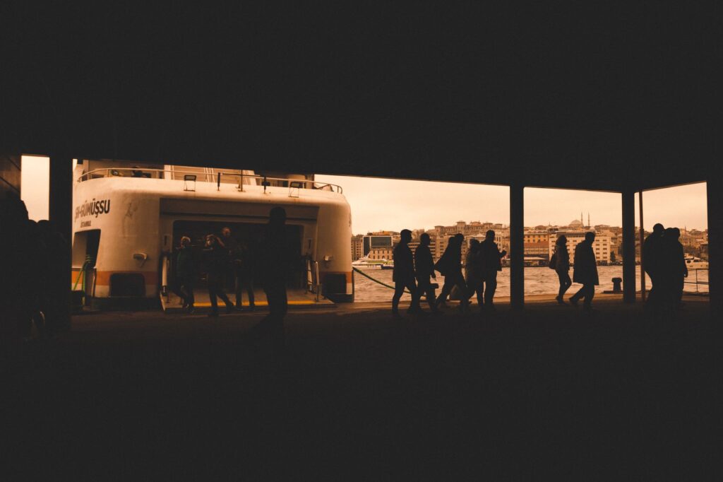
Nevertheless, mass electrification of long-distance routes to Great Barrier Island continues to face considerable technological and economic barriers. The energy density of current batteries does not yet reliably permit ocean crossings under adverse weather conditions without compromising the payload capacity of vessels. For this reason, the industry is simultaneously investigating the use of advanced biofuels and green hydrogen fuel cells as transitional solutions to decarbonize heavy transport on the most exposed routes of the New Zealand Pacific.
The energy transition at sea is not merely a matter of applied technology, but a race against time to preserve the delicate balance of the waters we inhabit.
Practical guide
How to get there: The mandatory starting point is the Auckland Downtown Ferry Terminal, located within walking distance of the central financial district. Regular ferry services operate from there to Waiheke (Fullers360) and Great Barrier Island.

Maritime planning: Tickets for high-speed ferries to Waiheke can be purchased without prior booking in the low season, but advance reservations are essential during the summer months (December to February). For Great Barrier Island, spaces on roll-on/roll-off vehicle cargo barges must be booked weeks in advance.
Air alternative: Barrier Air and Fly My Sky operate daily flights from Auckland Airport and secondary airfields to the Claris and Okiwi airfields on Great Barrier Island. Strict luggage weight restrictions apply due to the reduced dimensions of the aircraft.
Internal mobility: On Waiheke, an integrated public bus network connects with ferry arrivals at Matiatia. On Great Barrier Island, there is no regular public transport; renting four-wheel-drive vehicles at the destination or arranging local transfer services is necessary.
Biosecurity requirements: All visitors traveling to the gulf islands must inspect their footwear, tents, and camping equipment to prevent the introduction of invasive seeds, contaminated soil, or rodents into insular ecological sanctuaries.

Climate and safety: Weather conditions in the Hauraki Gulf can change drastically within hours. Checking navigation advisories and the status of transport services before initiating any journey to the outer islands is mandatory.
Best time to visit: The months between November and April offer the most stable marine conditions, though autumn (March and April) stands out for lower tourist influx and greater availability of lodging and transport slots.
The salty breeze descending at dusk over the wooden piers of Tryphena carries with it the distant echo of marine engines that never completely stop. In this oceanic corner where solid ground is a concept negotiated tide by tide, movement represents not a mere commercial commodity, but the very heartbeat of a community that has learned to live on the exact border between insular refuge and the vastness of the open sea. As the last rays of sunlight set fire to the volcanic ridges of the Hauraki Gulf, the night ferries trace luminous furrows across the blackness of the water, reminding us that human survival in these latitudes depends, above all else, on the audacity and precision with which the invisible pathways of the ocean are woven.