The Defensive Geomorphology of the Grand Harbour and Its Historic Accesses
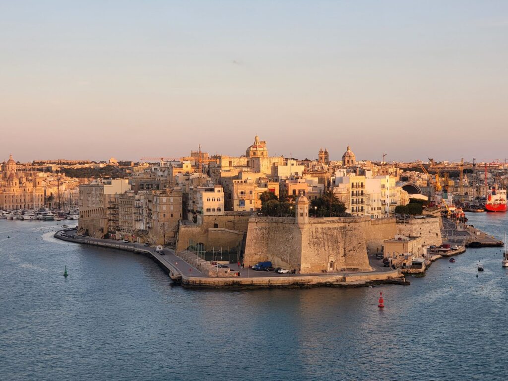
Valletta’s Grand Harbour is not merely a natural geographical feature, but a stony amphitheater where military history and civil engineering have conversed for centuries. Protected by the imposing bastions erected by the Order of Saint John, this mirror of saltwater acts as the true ventricle of the Maltese archipelago. From the Xgħajra peninsula to the promontories of Senglea and Vittoriosa, every square meter of coastline has been shaped to withstand sieges while simultaneously facilitating the constant transit of people and goods between opposing shores.
The historical connectivity of this enclave is grounded in its capacity to harness rugged topography. Unlike conventional flatland road networks, vertical differences here are bridged by ramps carved directly into globigerina limestone, monumental staircases, and suspended walkways connecting ancient storage warehouses with docking points. This primordial urban design prioritized military response speed, yet it now underpins a sustainable urban mobility network that defies contemporary vehicular traffic.
The Dgħajsas: Nautical Tradition and the Pulse of Daily Transit
At the heart of this aquatic mobility system lie the dgħajsas, traditional wooden watercraft that have plied the waters of the Grand Harbour for generations. With a profile remotely reminiscent of Venetian gondolas but endowed with a seaworthy robustness adapted to Mediterranean swells, these boats—historically rowed and today frequently motorized—constitute an essential public service and a living cultural heritage.
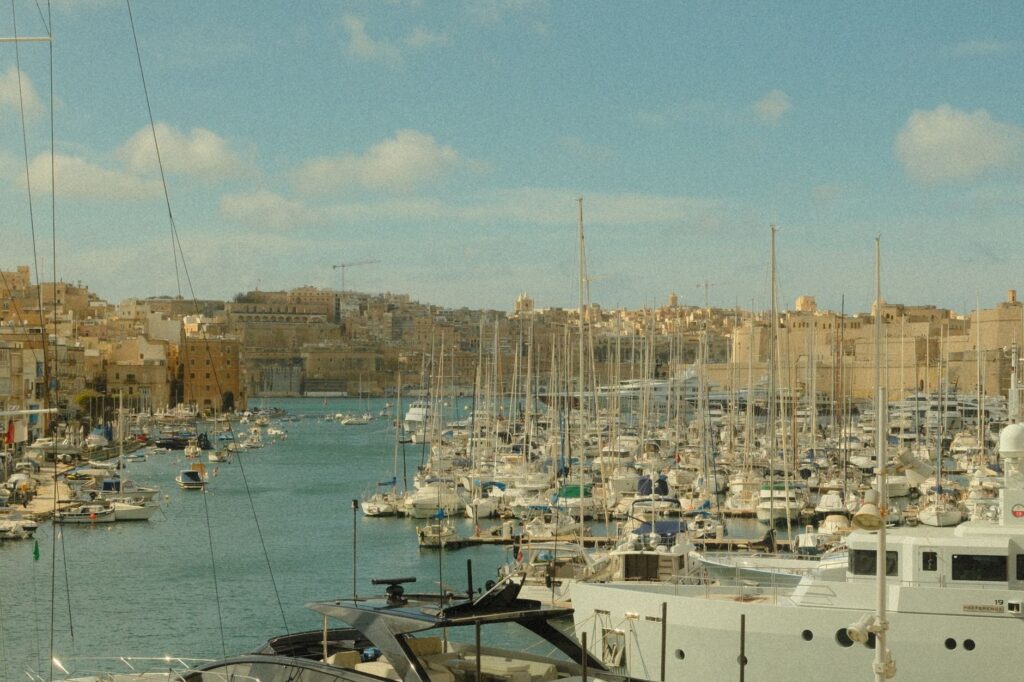
For residents of Cospicua, Vittoriosa, and Valletta, crossing the harbor in a dgħajsa is not a picturesque experience destined for mass tourism, but a daily commuter journey. Port statistics reveal that thousands of workers and students use these cross-harbor routes every week to avoid the lengthy detours imposed by tunnels and peripheral roads. The boatmen, guardians of an oral memory passed down from parents to children, know every current, every shallow spot, and every whim of the land breeze descending through the alleyways of the Three Cities.
The harbor water does not divide communities; it sews them together with threads of wood, salt, and a nautical persistence that defies the logic of concrete bridges.
The Engineering of Quays and Senglea’s Pedestrian Infrastructure
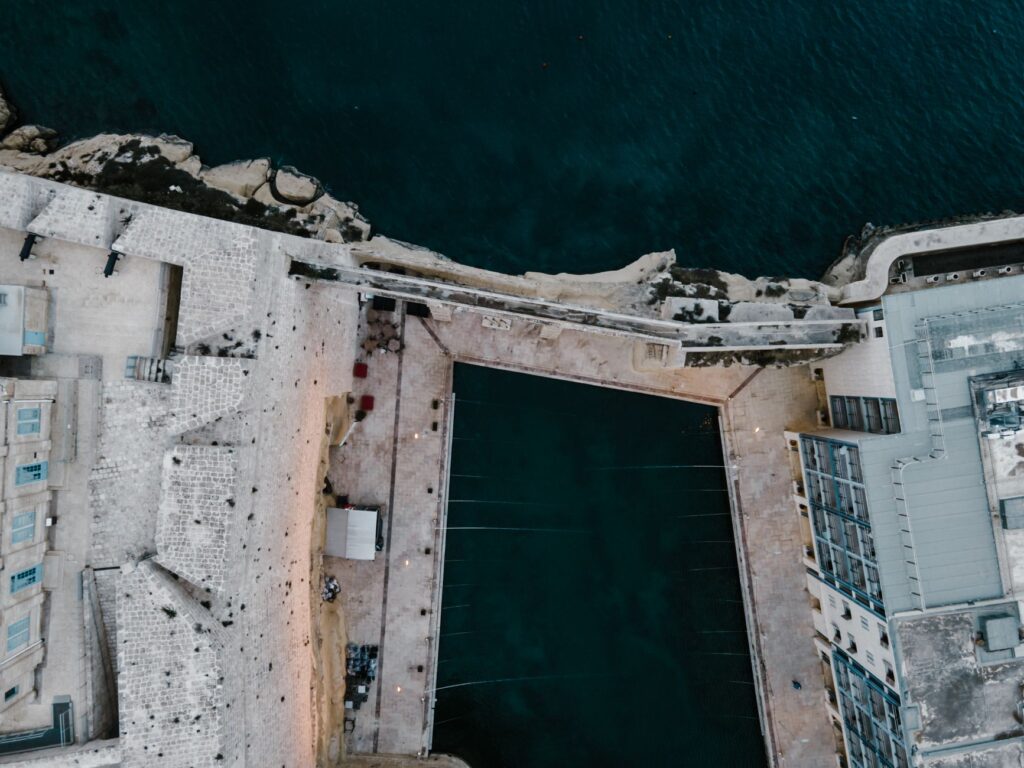
The Senglea peninsula, historically known as Civitas Invicta, exemplifies the symbiosis between military architecture and port logistics. Its perimeter quays, built with massive ashlar blocks fitted without mortar using Renaissance techniques, support the daily activity of fishermen, logistics operators, and visitors. The restoration of these quays over the past decade has demanded a delicate balance between heritage conservation and the installation of modern docking and safety elements.
Concurrently, the network of pedestrian walkways winding through the interior of the fortifications allows for fluid transit without the need for large mechanical infrastructure. Underground tunnels constructed during the British era to connect powder magazines and warehouses have been partially recovered as routes for pedestrians and cyclists, integrating the military past into the municipality’s soft mobility network. This intelligent reuse of underground space relieves pressure on the narrow upper streets and ensures efficient evacuation in case of maritime emergencies.
The Role of Modern Ferries and Urban Intermodality
Despite the deep-rooted presence of traditional watercraft, the contemporary connectivity of the Grand Harbour demands high-capacity responses. The introduction of regular fast ferry services connecting the Three Cities directly to the Lascaris Wharf in Valletta has radically transformed commuter travel times. These modern catamarans operate with rigorous punctuality, reducing a road journey of over forty minutes to a direct crossing of under ten minutes.
Intermodal integration is completed at landing points through synchronization with electric bus lines and the provision of bike-sharing stations. This multimodal transport mesh demonstrates how a protected historic site can adapt to twenty-first-century mobility demands without altering its visual profile or compromising the integrity of its centennial walls. The synergy between the high-speed ferry and the traditional watercraft reflects a model of coexistence where technological speed and heritage slowness complement one another.
Stone Architecture and the Invisible Logistics of Supply
Supplying a dense urban agglomeration surrounded by defensive walls has historically been a logistical challenge solved through port architecture. Warehouses from the era of the Knights of Saint John, known locally as il-Forn or grain stores, are strategically situated at the water’s edge to allow direct unloading from smaller cargo vessels. Today, although grain no longer arrives in large sailing ships, these buildings have found a second life as cultural centers, restaurants, and offices, while maintaining their original volume and cobblestone access points.
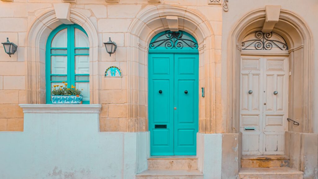
Last-mile goods distribution inside Vittoriosa and Cospicua relies on a network of stepped pedestrian streets where heavy vehicles are barred from entry. Electric carts and human traction remain the most effective methods to navigate the steep inclines and pointed arches characteristic of the area’s urban planning. This low-intensity distribution system preserves the historic limestone pavement from the accelerated wear that conventional vehicular traffic would cause.
The Industrial Counterpoint: Shipyards and Their Social Footprint
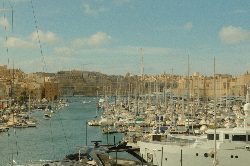
On the eastern shore of the harbor, the historic Cospicua shipyards have defined the region’s labor and social identity for over a century. Although large-scale shipbuilding has drastically declined in the face of global competition, basins and dry docks remain operational for maintenance tasks, luxury yacht repairs, and technical retrofitting. This industrial activity generates a steady flow of technical specialists, engineers, and suppliers who energize the local economy of the surrounding neighborhoods.
The coexistence between tourism heritage, residential life, and light industrial activity poses constant urban planning challenges. Port authorities strictly regulate the schedules for noisy operations and heavy vehicle traffic to protect residents’ tranquility. Despite these tensions, the shipyard remains a symbol of working-class pride and a tangible reminder that the Grand Harbour is not a mere museum backdrop, but a living, productive workspace.
The true value of a historic port does not reside in the immobile perfection of its stones, but in the capacity of its inhabitants to keep making a living at the water’s edge.
Practical guide
How to get there: Malta International Airport (MLA) is located about eight kilometers from the Grand Harbour. From the terminal, bus route X4 connects directly to Valletta in approximately thirty minutes. For direct access to the Three Cities, official taxis and ride-sharing apps operate from designated zones outside the arrivals hall.
Internal transport and navigation: Crossing the Grand Harbour is optimally achieved via the fast ferry operated by Valletta Ferry Services, departing every thirty minutes from Lascaris to Bormla (Cospicua). For a traditional experience, dgħajsas operate from the Kalkara and Senglea quays toward Valletta continuously during daylight hours, with fares regulated by the local council.
When to travel: The spring months (April to June) and early autumn (September to October) offer temperate temperatures ideal for touring the fortifications on foot without extreme summer heat. Winter, although cooler and windier, guarantees an experience free of tourist crowds with authentic local life in full operation.
Etiquette and safety recommendations: When walking through ancient residential areas like Birgu and Senglea, visitors should respect residents’ privacy and avoid blocking narrow passages with photographic equipment. Many stretches of walls and bastions lack modern protective railings; caution is advised when walking along upper cornices, especially on days with strong levanter winds.
A Memory of Salt and Stone: The Daily Refuge of the Quay
As the sun declines over the Mediterranean horizon, the shadows of the bastions lengthen over the tranquil harbor waters, and the frenetic rhythm of the workday yields to an almost ceremonial stillness. On the limestone benches of the Senglea waterfront, veteran local fishermen lay out their tackle with slow, precise gestures repeated over decades. This daily ritual, detached from the fluctuations of international tourism, embodies the true essence of a territory that has managed to preserve its seafaring dignity through the centuries. Here, stone and salt are not merely physical elements shaping the landscape, but the invisible foundations of an island community that continues to find its most faithful horizon and safest refuge in the sea.