Engineering and Geography in the Breton Heartland
The Nantes-Brest Canal is far more than a mere commercial waterway; it stands as one of the most ambitious civil engineering projects of the nineteenth century in western France, originally conceived to meet geostrategic imperatives during the Napoleonic Wars in order to bypass British maritime blockades. This freshwater corridor snakes across more than three hundred kilometers of rugged terrain, agricultural valleys, and damp forests, linking the estuary of Nantes with the military port of Brest via the Erdre, Blavet, Hyères, and Aulne rivers. Along its trajectory, the infrastructure tames natural elevation changes through a meticulous deployment of ashlar masonry locks that transform the landscape into a precisely calculated aquatic staircase.
The genesis of this hydrological artery responded to military urgency, yet its economic maturity was consolidated during the Industrial Revolution. Flat-bottomed barges, known locally as chalands, traversed these waters towed by men or draft animals along the towing paths, transporting coal, fertilizers, grain, and blocks of granite toward inland markets. Today, although freight traffic has yielded to recreational navigation and sustainable tourism, the footprint of that titanic effort remains intact in every wooden gate and lockkeeper’s cottage dotting the rural horizon.
The Pulse of the Locks: When Stone Stops Time
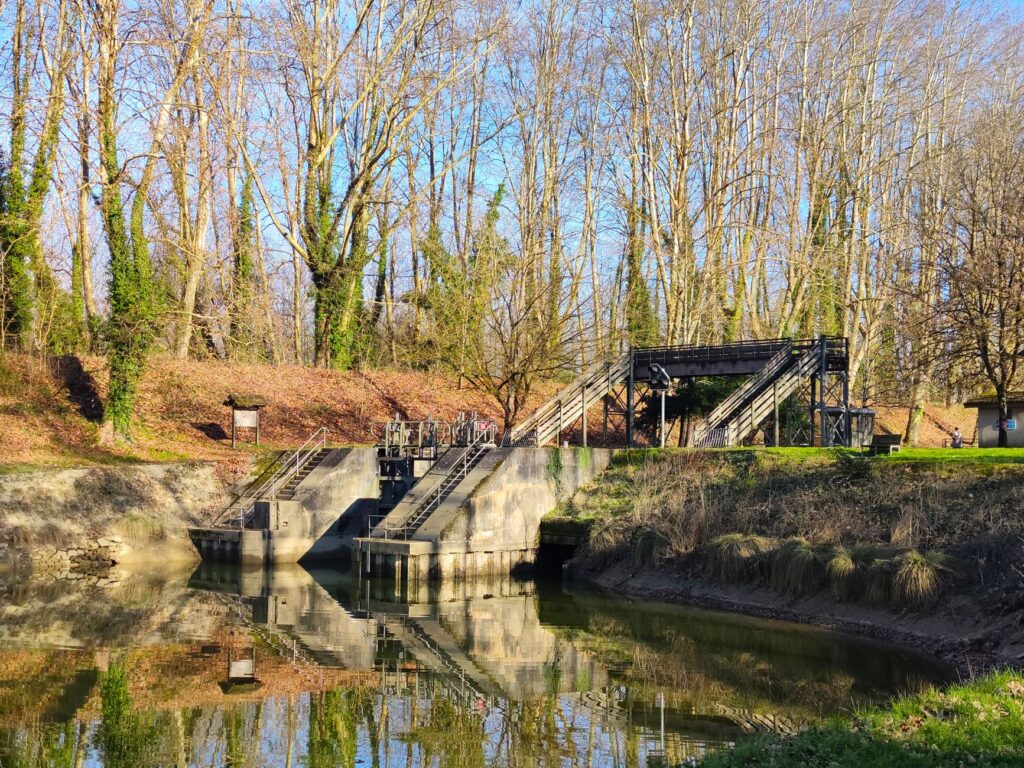
The daily operation of the canal relies on a handcrafted mechanical system that has barely varied in two centuries. The 238 locks marking the route act as the heartbeats of a living organism, regulating the water flow and enabling vessels to overcome altimetric differences with millimeter precision. Each lock features a standardized architecture adapted to the local geological environment, utilizing schist and granite masonry that withstands the constant onslaught of humidity. The lockkeepers, contemporary guardians of this liquid memory, operate the heavy manual gears with a dexterity acquired through generations of fluvial tradition.
Observing the filling and emptying of a lock chamber reveals a silent choreography where the physics of water meets human patience. The oak gates yield to the flow with a dull creak, equalizing levels so that the barge ascends or descends without risk of collision. This unhurried rhythm contrasts sharply with the speed of modern highways, turning the journey along the canal into an immersion in another temporality. Local communities have successfully integrated these structures into their daily lives, transforming former port warehouses into cultural centers, craft workshops, and welcome hubs for hikers and cyclists.
The Towing Paths: Western France’s New Green Route
If water represents the principal artery of the canal, the towing paths flanking it act as the nervous system keeping the region united. Once trodden by draft horses and porters, these compacted earth and fine gravel trails have evolved into one of Europe’s most valued cycling and hiking routes. The absence of steep gradients—except near clustered lock flights—allows for fluid and accessible transit for all types of travelers, from families to long-distance two-wheeled expeditions.
Advancing along these greenways unveils an interior Brittany far removed from the coastal clichés of Atlantic cliffs and tides. Here, the landscape is composed of lush beech and oak forests, wetlands where migratory birds nest, and small villages featuring golden stone and slate roofs. Each bend of the canal reveals vestiges of the region’s industrial and agrarian history: former lime kilns, communal washhouses half-concealed by vegetation, and depressed arch bridges connecting agricultural plots divided by the artificial trench. The infrastructure demonstrates how human intervention, when integrated sensitively into the environment, can enrich ecological heritage rather than destroy it.
The Blavet Valley and the Atlantic Transition
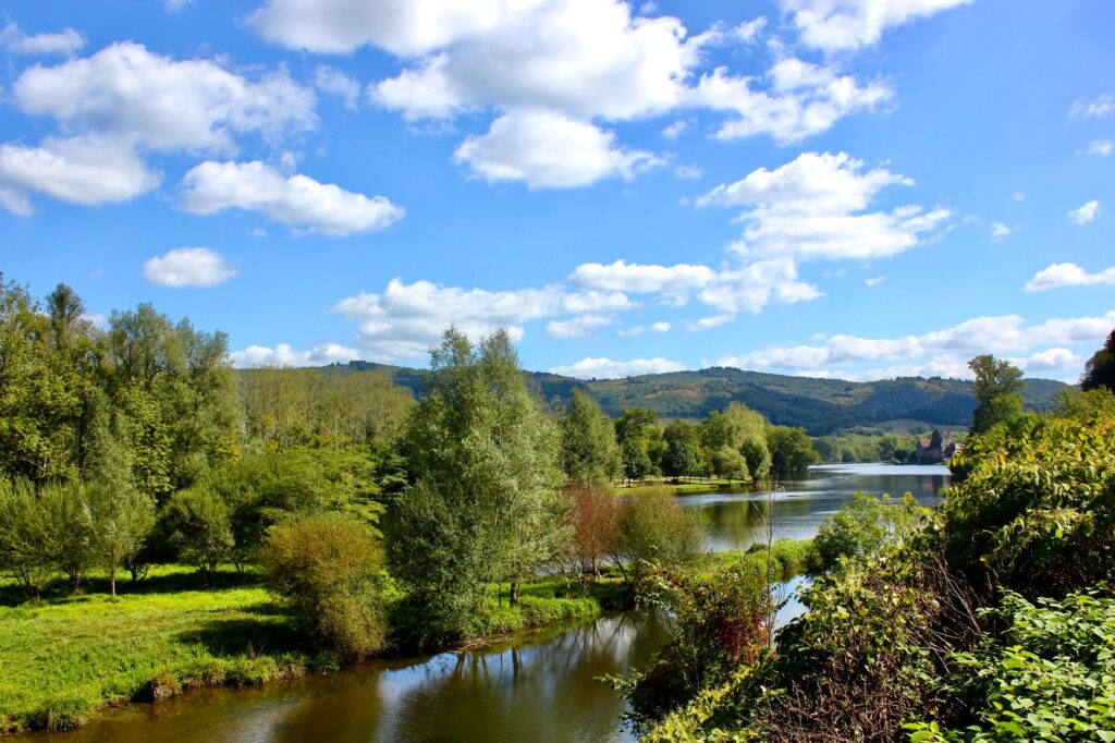
As the canal progresses toward its western sector, it converges with larger natural river systems such as the Blavet River, subtly modifying the physiography of the landscape. In this stretch, the water acquires a deep emerald-green tone and the banks steepen, forcing engineering solutions such as navigation tunnels and cuts excavated directly into the bedrock. The Hilvern underground passage, for instance, represents one of the most notable feats of the route, a vaulted conduit over a kilometer long traversing the watershed without requiring additional locks.
This geographical transition is also reflected in rural architecture and the character of riverside settlements. Towns like Pontivy, with its distinctive Napoleonic quarter superimposed on the medieval core, display the urbanistic ambition with which the French state sought to endow these areas of strategic control. The stone docks, once crowded with burlap sacks and cider barrels, now welcome international flag recreational vessels, whose crews dock to provision at local markets and sample traditional Breton gastronomy in waterside taverns.
Architecture and Minor Infrastructure: The Forgotten Heritage
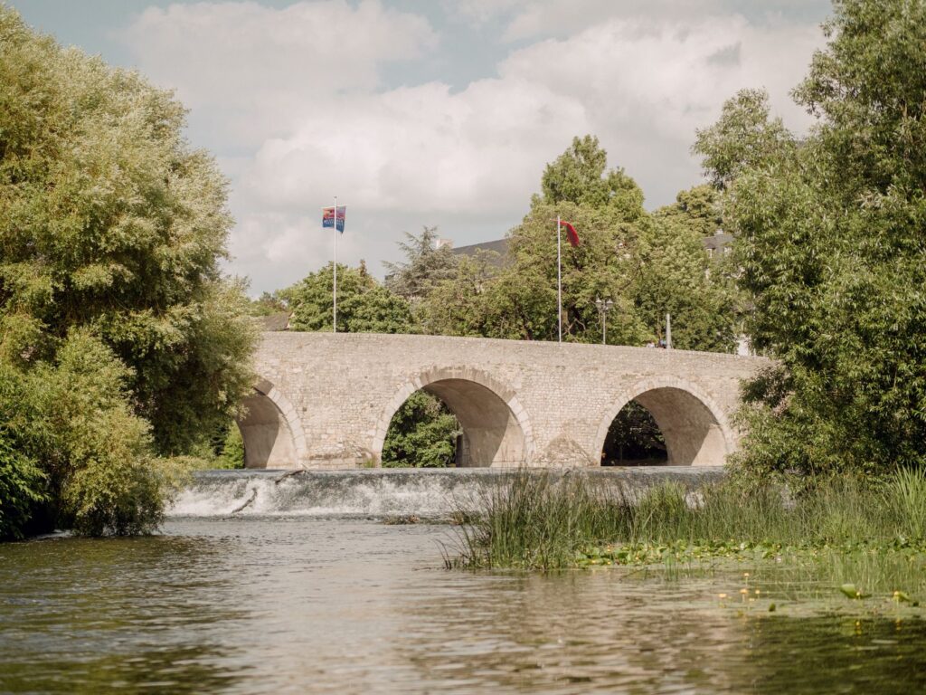
Beyond the major locks and principal bridges, the Nantes-Brest Canal harbors a rich catalog of minor infrastructure ensuring the technical viability of the entire system. Among these stand out spillways, aqueducts, and underground culverts designed to channel seasonal floods from tributary streams and prevent inundations in surrounding fields. These minor works, executed with the same solidity as public monuments in major cities, evidence a constructive rigor typical of nineteenth-century state civil engineering.
The lockkeepers’ houses deserve special mention within this heritage inventory. Built according to unified architectural guidelines but with local variations in materials, these single-family dwellings with gabled roofs and green or blue-painted shutters served as operational bases and homes for operators. Today, many of these buildings have been rehabilitated by local administrations for public use, hosting permanent exhibitions on the history of inland navigation, tourist offices, or unique lodgings for travelers exploring the canal on foot or by bicycle.
Sustainability and Water Management in the 21st Century
Keeping a bicentennial hydraulic infrastructure operational in the context of contemporary climate change represents a major challenge for regional authorities in Brittany. The management of water resources during periods of low water and summer drought demands a delicate balance between supplying local agriculture, maintaining ecological flows, and guaranteeing sufficient draft for tourist navigation. Regulating reservoirs situated at the headwaters of tributary streams act as strategic reserves, releasing water in a controlled manner to compensate for evaporation and consumption.
Likewise, current conservation plans prioritize the ecological restoration of riverbanks and the creation of fish passes at locks, allowing migratory species such as Atlantic salmon and trout to ascend the river course to their original spawning grounds. This approach demonstrates a model evolution in public works conception: shifting from a purely extractive and utilitarian infrastructure to an integrated management model where biodiversity and cultural heritage share the spotlight and ensure the survival of the green corridor.
The canal is not a scar on the Breton landscape, but rather the suture line uniting the military history of an empire with the green tranquility of its inland valleys.
Traversing this fluvial network today requires a predisposition toward slowness and detailed observation. It is not a destination of grand tourist monuments or mass attractions, but rather an exercise in contemplative tourism where true value lies in landscape coherence and the survival of traditional trades and knowledge. The infrastructure of the Nantes-Brest Canal thus stands as a living monument to human capacity to transform territory without stripping it of its natural identity.
Navigation Practices and Fluvial Coexistence
For travelers choosing to navigate the canal aboard an unlicensed rental boat or a traditional barge, understanding basic interior navigation rules guaranteeing safety and traffic fluidity is essential. Locks operate under a code of precedence where commercial and collective transport vessels have priority, followed by rental boats, and finally canoes and kayaks. Vertical signage along the banks clearly indicates authorized mooring points, speed-limited zones, and potential hazards due to shallow depth in certain bends.
Respect for the natural environment and neighboring private properties constitutes an unwritten rule strictly observed by the fluvial community. Discharging greywater or solid waste into the canal is strictly prohibited, and wild mooring outside designated ports must be carried out without damaging riparian vegetation or obstructing towpath passage. Cyclists and pedestrians must exercise extreme caution when crossing lock gates and always yield right-of-way to the maneuvering of heavy doors.
Practical guide
How to get there: Nantes and Brest serve as the main gateways to the ends of the canal, both connected to Paris via high-speed TGV rail services. To access central sections, the towns of Pontivy and Châteaulin feature intercity bus stations and direct road connections with the Breton highway network.
When to go: The optimal season to explore the canal spans from May to September, a period when locks operate on full schedules, tourism services are fully operational, and weather conditions are mildest for outdoor activities and cycle touring.
Transport options: Unlicensed habitable boats can be rented at nautical bases in Pontivy, Josselin, or Glénac for multi-day stays. For those preferring solid ground, bicycle rentals with panniers are widely available with drop-off services at various points along the route.

Accommodation: Options include charming rural hotels in former masonry houses, municipal campsites beside the locks, and a growing network of accommodations known as Gîtes de France specialized in cyclists and hikers.
Recommended gastronomy: Stops along the canal allow tasting local specialties such as buckwheat galettes, artisanal cider from interior Brittany, raw milk cheeses from small producers, and river fish prepared according to traditional regional recipes.
The Echo of Water in Breton Memory
At twilight, when the golden light of sunset reflects on the still surface of the canal and the only audible sound is the distant murmur of a weir or the call of a kingfisher, the true dimension of this monumental work reveals itself in all its depth. It is not merely concrete, ashlar stone, and mechanical gates; it is, above all, an ancient pact between humankind and water, a corridor of life that has successfully reinvented its purpose through the centuries without losing the beat of its original rhythm.
Those who stop to contemplate the unhurried coming and going of the waters understand that the true luxury of this journey lies in disconnecting from contemporary noise and immersing oneself in a landscape where time is measured by the cycle of seasons and the silent effort of the locks. Interior Brittany thus preserves, thanks to this liquid artery, a refuge of authenticity and historical endurance that continues to beat with the exact same strength as the first day a barge broke the water’s surface.