
Introduction to the Sharqiya Desert and Its Sand Geography
The Sharqiya Desert, historically known as Wahiba Sands, stretches as a vast sea of parallel dunes marching from the eastern Hajar Mountains down to the coasts of the Arabian Sea. In this territory of ochre and cream tones, human mobility has never obeyed the laws of conventional asphalt, but rather a complex intermodal choreography where geology dictates the rules. Understanding how people, goods, and supplies move in this extreme environment requires examining an invisible yet rigorous infrastructure composed of compacted gravel tracks, tire prints over the erg, and the constant adaptation of local communities to the whims of the wind.
Unlike other arid regions where straight highways cross the horizon without opposition, Sharqiya features a dynamic relief that challenges traditional civil engineering. The longitudinal dunes, reaching heights of up to one hundred meters, act as natural barriers channeling traffic into specific corridors. In this context, transport is not merely a means to get from point A to point B, but an act of survival and permanent negotiation with a terrain that changes shape with every sandstorm. The connectivity of dispersed settlements depends on a seamless synchronization between four-wheel-drive vehicles, ancestral knowledge of the terrain, and strategic supply points situated on the desert margins.

The Intermodal Transition: From Urban Periphery to the Heart of the Dunes
The journey into the interior of Sharqiya invariably begins in transition towns such as Bidiyah or Al-Kamil, which act as logistical hinges between the national paved road network and sand routes. In these enclaves, a critical transfer of passengers and cargo takes place: intercity buses and conventional passenger cars yield to specialized fleets of four-wheel-drive vehicles equipped with low-pressure tire systems. This vehicular mutation is mandatory; attempting to enter the erg with a standard automobile results in getting stuck within meters due to the loose consistency of fine sand.
Local authorities and regional transport cooperatives maintain check-and-inflation points at the desert gates. Here, drivers adjust their tire air pressures down to safe levels to maximize contact surface area over soft sand. This technical ritual is the first link in a logistical chain that supplies tourist camps, camel farms, and nomadic families inhabiting the interior. The timing between the arrival of buses from Muscat and the availability of local guides with adapted vehicles forms the core of accessibility in the region.
The Logistical Backbone: Gravel Tracks and Seasonal Trails
Once the initial dune belt is cleared, the transport network transforms into a web of gravel tracks and tire prints forged by continuous supply trucks. These secondary routes, maintained precariously by Oman’s Ministry of Transport, meander through inter-dune valleys known as furus. Along these corridors, water and fuel logistics represent the greatest operational challenge. Heavy tanker trucks, many modified with reinforced suspensions, traverse these routes daily to supply community tanks and ecotourism projects dotting the desert.
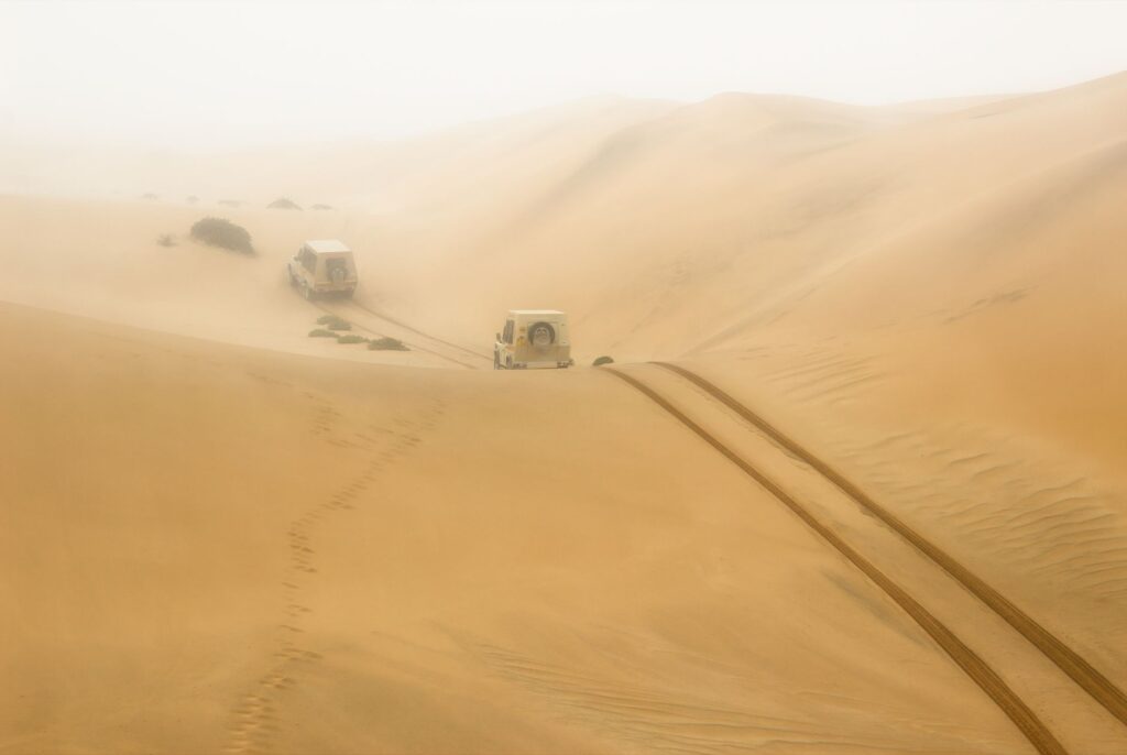
Maintaining these tracks is a titanic task. Seasonal sandstorms, locally known as khareef in the south but marked here by dry, violent winds, bury entire sections within hours. Road maintenance crews deploy mechanical graders to clear paths, though true traffic fluidity relies on the expertise of local drivers who read micro-variations in the terrain to avoid treacherous sand traps. In this transport ecosystem, speed is secondary; fuel forecasting and self-rescue capabilities using recovery boards and winches are the true safety standards.
Minor Air Transport and Emergency Response in the Erg
Emergency connectivity in the Sharqiya Desert cannot rely exclusively on the terrestrial network due to the extreme remoteness of certain settlements and the difficulty of navigating dunes during peak heat hours. Consequently, the Royal Oman Police and emergency medical services maintain strict protocols integrating rotary-wing aviation. Improvised helipads and hardened clay flats, known as sabkhas, serve as medical evacuation points for severe dehydration cases, desert traffic accidents, or obstetric emergencies among pastoral communities.
This aerial dimension complements a system where commercial aviation has no direct foothold, yet light aircraft are frequently used for pipeline surveillance and territorial mapping. Coordination between ground outposts and regional airbases ensures that no corner of the desert falls outside the response radius during critical situations. The fragility of this aerial lifeline lies in visibility: dust storms reduce sightlines to zero, forcing rescue teams to rely on advanced instrumental navigation and satellite geolocalization beacons distributed among permanent camps.
The Economy of Mobility: Tourism, Pastoralism, and Fuel
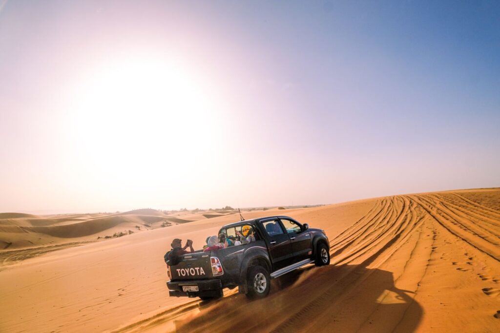
Vehicle flow in Sharqiya is deeply conditioned by the region’s economic duality: traditional camel pastoralism and the controlled expansion of adventure tourism. On one hand, Bedouin herders use double-cab pickup trucks to transport fodder, water, and monitor their flocks in ephemeral pastures sprouting after rare rains. These vehicles have become the modern extension of the dromedary, enduring heavy loads and grueling hours under temperatures regularly exceeding forty-five degrees Celsius in summer months.

On the other hand, the tourism industry generates intense yet seasonal traffic of motorized safaris. Caravans of off-road vehicles driven by local professionals and experienced visitors alike traverse routes toward fixed camps situated dozens of kilometers inland. This economic influx sustains investment in better communication infrastructure, yet it also raises environmental dilemmas regarding dune erosion and the disruption of traditional animal routes. Regulation of these routes by the Ministry of Heritage and Tourism aims to balance commercial accessibility needs with the preservation of a fragile landscape.
The desert is not a void to be crossed at top speed, but a dense space where every tire track is a fragile pact with sand and wind.
Climate Change Impacts and Erosion on Traditional Routes
In recent years, weather patterns across the Arabian Peninsula have experienced notable shifts characterized by torrential precipitation episodes followed by prolonged droughts. These intense, brief rains transform inter-dune valleys into ephemeral water channels, known as wadis, eroding gravel tracks and temporarily severing terrestrial connectivity between the northern and southern desert. Fords and water crossings hurriedly constructed often collapse under the force of flash floods, isolating entire communities for days.

Road engineers and regional authorities face the monumental challenge of designing resilient infrastructure in a terrain of constant movement. Traditional rigid paving solutions fail because underlying sand shifts, undermining asphalt foundations. Consequently, chemical soil stabilizers and the controlled elevation of riverbeds using local stone riprap are prioritized. The sustainability of these routes depends on constant meteorological observation and the operational flexibility of transport companies willing to modify itineraries based on road conditions after each storm.
Practical guide
- Getting there: The main access to the Sharqiya Desert is via paved road from Muscat via Route 23 to Bidiyah, the primary gateway to the erg.
- Local transport: Entering the dunes with two-wheel-drive vehicles is strictly prohibited. Renting a 4×4 with low-range gearing or hiring an authorized local driver is mandatory.
- Tire management: Deflating tires down to 15-18 PSI before entering sand is required, along with carrying a portable compressor to reinflate them upon returning to asphalt.
- Supplies and autonomy: Carry at least five liters of water per person per day, plus extra fuel, as service stations disappear completely beyond peripheral settlements.
- Communication: Mobile phone coverage drops within kilometers of the border. Carrying a satellite communication device or an emergency GPS locator is essential.
- Cultural respect: Routes cross traditional pastoral lands. Always yield the right of way to camel herds and avoid driving outside marked tracks to protect the dune ecosystem.
Visual Epilogue on Stillness and Human Trace
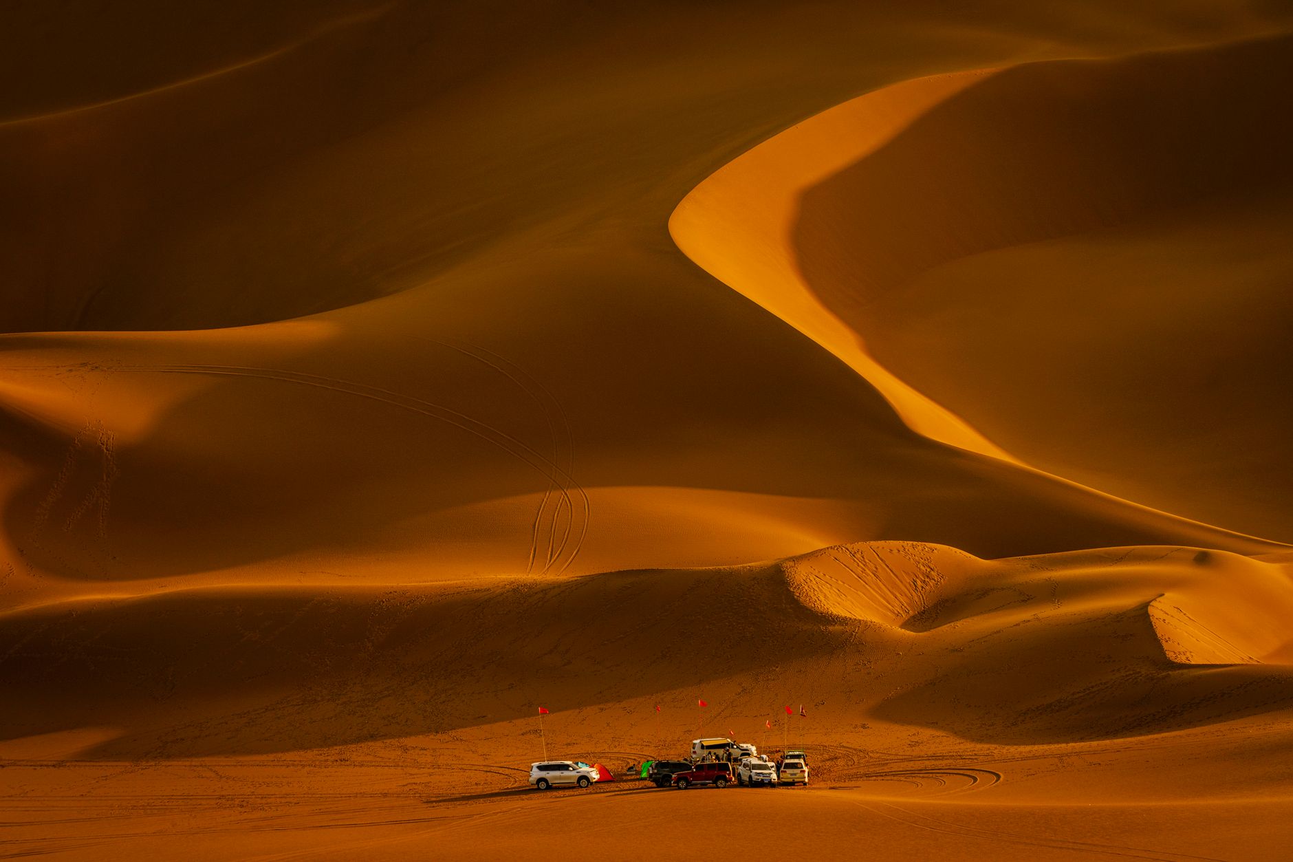
When evening falls over Sharqiya, the wind erases recent tire marks with millimeter precision, returning the desert to its appearance of unaltered eternity. In that instant of absolute silence, off-road vehicles rest aligned beside tents, transformed into dark silhouettes against the immensity of the orange horizon. Connectivity in this remote edge is measured not in gigabits or bullet train speeds, but in the human capacity to inhabit an unforgiving territory through mutual respect, rigorous technique, and a profound understanding of its ancient rhythms.