
The Fragmented Geography of the Inland Sea
The Seto Inland Sea, known in Japanese as Seto Naikai, represents one of the most unique and geographically complex landscapes in the Japanese archipelago. This body of water, flanked by the main islands of Honshu, Shikoku, and Kyushu, hosts thousands of islands of all sizes, ranging from uninhabited rocks to densely populated enclaves with a rich agricultural and fishing heritage. For centuries, the only way to connect this constellation of insular lands was rudimentary maritime transport, subject to the whims of tides and seasonal winds.
Today, the region has transformed into a fascinating showcase of civil engineering and intermodal planning. Japan’s modernization cannot be fully understood without observing how its planners managed to stitch together a fragmented archipelago using an almost utopian combination of Shinkansen high-speed trains, suspension highways spanning the sea, and a millimeter-precise network of local ferries acting as the true lifeblood of daily existence on the smaller islands.
The Milestone of the Honshu-Shikoku Bridges
The technical culmination of connectivity across Seto materialized in the late twentieth century with the opening of the three main routes linking Honshu to Shikoku. Among them, the Honshu-Shikoku route, which includes the magnificent Great Seto Bridge, stands out as one of the most ambitious infrastructure feats in modern transport history. This colossus of steel and concrete not only supports the vehicular traffic of the Seto-Chuo Expressway but was designed from its inception to house railway tracks capable of withstanding the passage of passenger and freight trains.
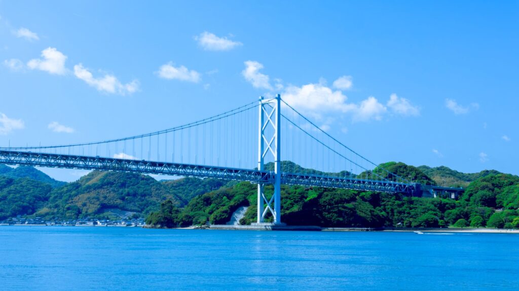
The integration of trains into these monumental viaducts completely transformed the region’s economy. Communities that previously depended on multi-hour boat crossings found themselves within minutes of major Honshu urban centers like Okayama or Hiroshima. However, this engineering triumph also brought collateral challenges, such as the depopulation of smaller islands, whose younger residents began migrating to major metropolises thanks to the ease of daily commuting.
The Peripheral Rail Network and High-Speed Transit
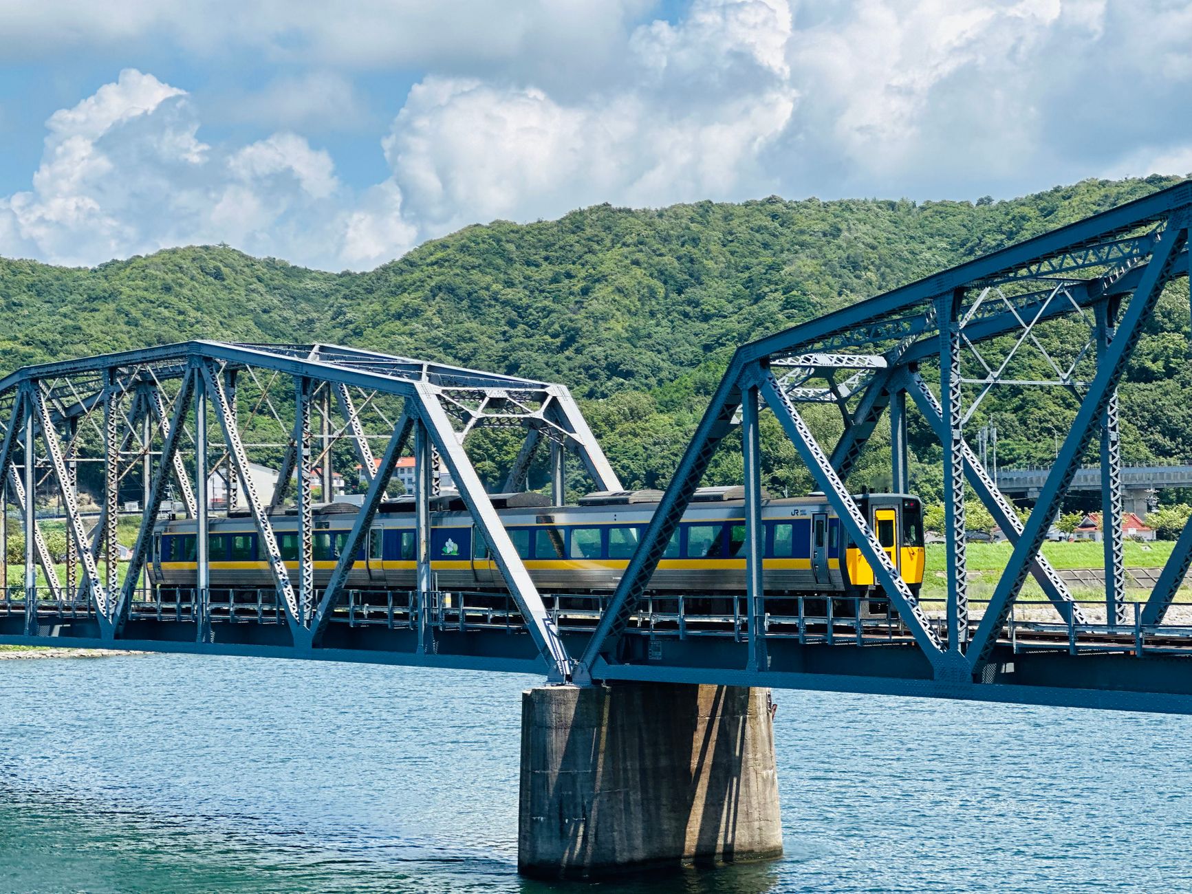
On the mainland, skirting the shores of the Inland Sea, operates one of the most efficient railway networks on the planet. The lines operated by Japan Railways (JR), especially the western section of the Sanyo Shinkansen, act as the backbone for long-distance transport. Concurrently, limited express trains and local routes connect nodal stations with ferry ports, establishing an hourly choreography where delays measured in seconds serve as grounds for public apology.
The contemporary challenge for these lines is not top speed, but demographic adaptation. With a constantly aging rural population, rail companies face the dilemma of maintaining unprofitable routes that remain indispensable for the survival of the few local residents who lack private vehicles. The digitalization of signaling and the gradual introduction of automated rolling stock aim to reduce operational costs without compromising safety or the service’s legendary punctuality.
The Maritime Counterweight: The Setouchi Ferries
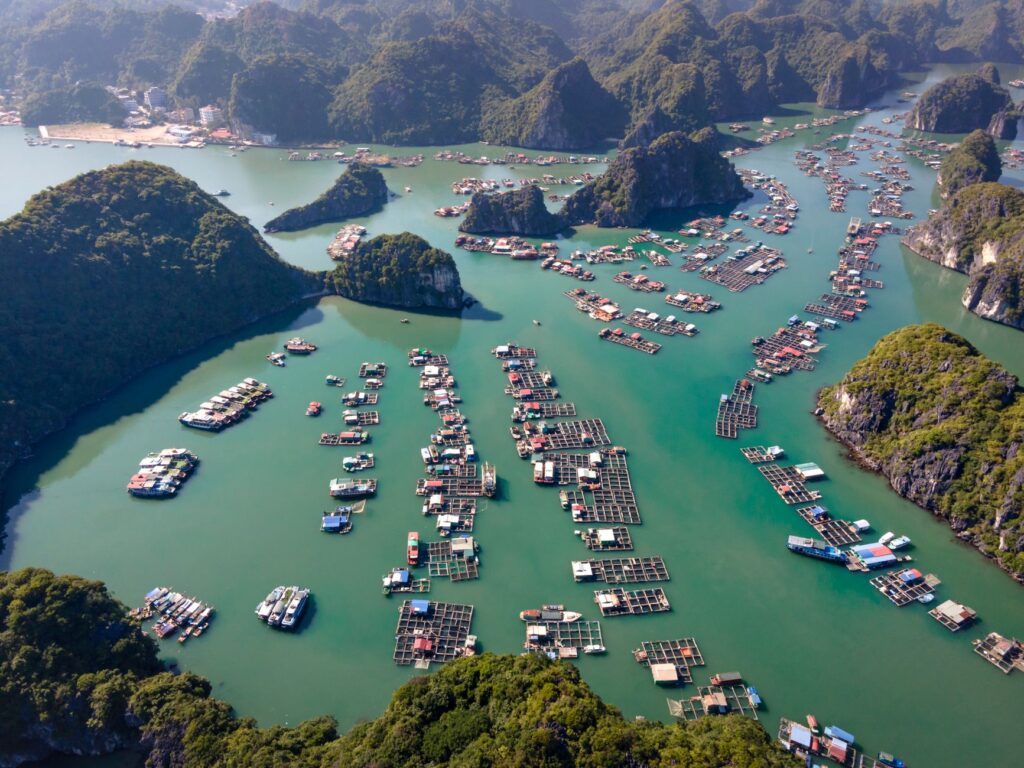
Despite the imposing nature of the bridges and the speed of the trains, the Inland Sea still belongs to the ships. The ferry network, operated by dozens of private and municipal operators, constantly connects Honshu and Shikoku with islands like Naoshima, Shodoshima, or Teshima. These vessels are not mere utility vehicles; they are social spaces where international tourists, Buddhist pilgrims, students, and local farmers transporting harvests in small trucks converge.
Maritime routes have undergone a profound transformation driven by cultural tourism and the contemporary art phenomenon across the Setouchi islands. Ports once depressed by the decline of the fishing industry and salt flats have reinvented their passenger traffic thanks to international art festivals. Nevertheless, shipping operators currently grapple with rising fuel costs and a shortage of qualified crews, testing the resilience of a navigation system that must comply with strict environmental regulations to reduce carbon emissions.
Intermodalism and the Traveler’s Experience
Traveling through the Seto region requires understanding intermodalism as a precise art. A typical journey might begin in a quiet Shinkansen carriage, continue on a local commuter train painted with marine motifs, and culminate on the deck of a wooden ferry as the sun sets behind the conical silhouettes of the islands. The synchronization between JR train schedules and boat departures at ports like Uno or Takamatsu is calculated with millimeter precision, allowing seamless transitions without lengthy waiting times.

The true efficiency of transport in Seto does not lie solely in the speed of its bullet trains, but in the delicate harmony with which local boats link the corners where railway tracks can never reach.
This intermodal fluidity contrasts with the administrative complexity of ticketing. Although regional smart cards like ICOCA facilitate payment on trains and urban buses, many independent ferry lines still require cash or the purchase of analog tokens at port terminals. This overlap between railway technological vanguard and the rustic simplicity of the maritime world defines the unique personality of mobility in the Inland Sea.

Environmental Challenges and Climate Change in Island Routes
The Seto archipelago is not immune to global climate transformations. Rising sea levels and the increased frequency of extreme weather events, such as high-intensity typhoons, periodically threaten both coastal road infrastructure and ferry operations. Strong winds frequently force the suspension of traffic on high-altitude suspension bridges and the cancellation of maritime crossings, temporarily isolating entire communities and disrupting fresh produce supply chains.
Faced with this scenario, regional authorities and transport companies have begun investing in real-time meteorological monitoring systems and fleet modernization toward hybrid and electric vessels. These measures seek not only to mitigate the environmental impact of navigation within a protected marine national park, but also to safeguard routes against the growing climatic unpredictability affecting all of southern Japan.
Practical guide
Planning an intermodal journey across the Seto Inland Sea region requires anticipation and knowledge of the logistical particularities of its various transport modes.

- How to get there: The primary rail access is via the Sanyo Shinkansen, connecting Osaka and Hiroshima with key stations such as Okayama and Fukuyama. From Tokyo, the journey takes approximately three and a half hours.
- Tickets and passes: The nationwide Japan Rail Pass or regional JR West passes are highly cost-effective for bullet train and express travel. However, they do not cover most local ferries, which must be paid for separately.
- Key maritime connections: The port of Uno (in Okayama) serves as the primary gateway to Naoshima and Teshima. Takamatsu (in Shikoku) concentrates the highest volume of ferry traffic to Shodoshima and surrounding islands.
- Best time to visit: The spring months (April to May) and autumn (October to November) offer mild temperatures, lower typhoon probability, and optimal conditions for combining bicycle, train, and boat journeys.
- Logistical tip: On smaller islands, public bus transport is extremely sparse. Renting electric bicycles at ports or booking the few available rental vehicles in advance is highly recommended.
The Silent Horizon of the Archipelago
When the last ferry docks at the concrete pier and passengers disperse into the steep alleys of fishing villages, the Inland Sea regains its ancestral stillness. The lights of trains continue crossing the suspension bridges in the distance, drawing thin luminous lines over the dark water as a constant reminder of the technological pulse sustaining this insular world. In Seto, mobility is not merely a matter of engineering or commercial logistics; it is the invisible thread weaving the dignity of daily life against the vastness of the sea.
The perfect transport infrastructure is one that allows island communities to maintain their unhurried rhythm without ever becoming disconnected from the heartbeat of the rest of the country.
Observing the coming and going of ships and convoys in this landscape of calm waters invites reflection on the true purpose of major transport systems. Beyond shortening distances or maximizing economic efficiency, their greatest achievement in these lands has been preserving the fragility of an environment where each island retains its own voice, united to the mainland by the firm conviction that no territory should ever be relegated to oblivion.