
Introduction to the Amphibious Confine of Fiordland
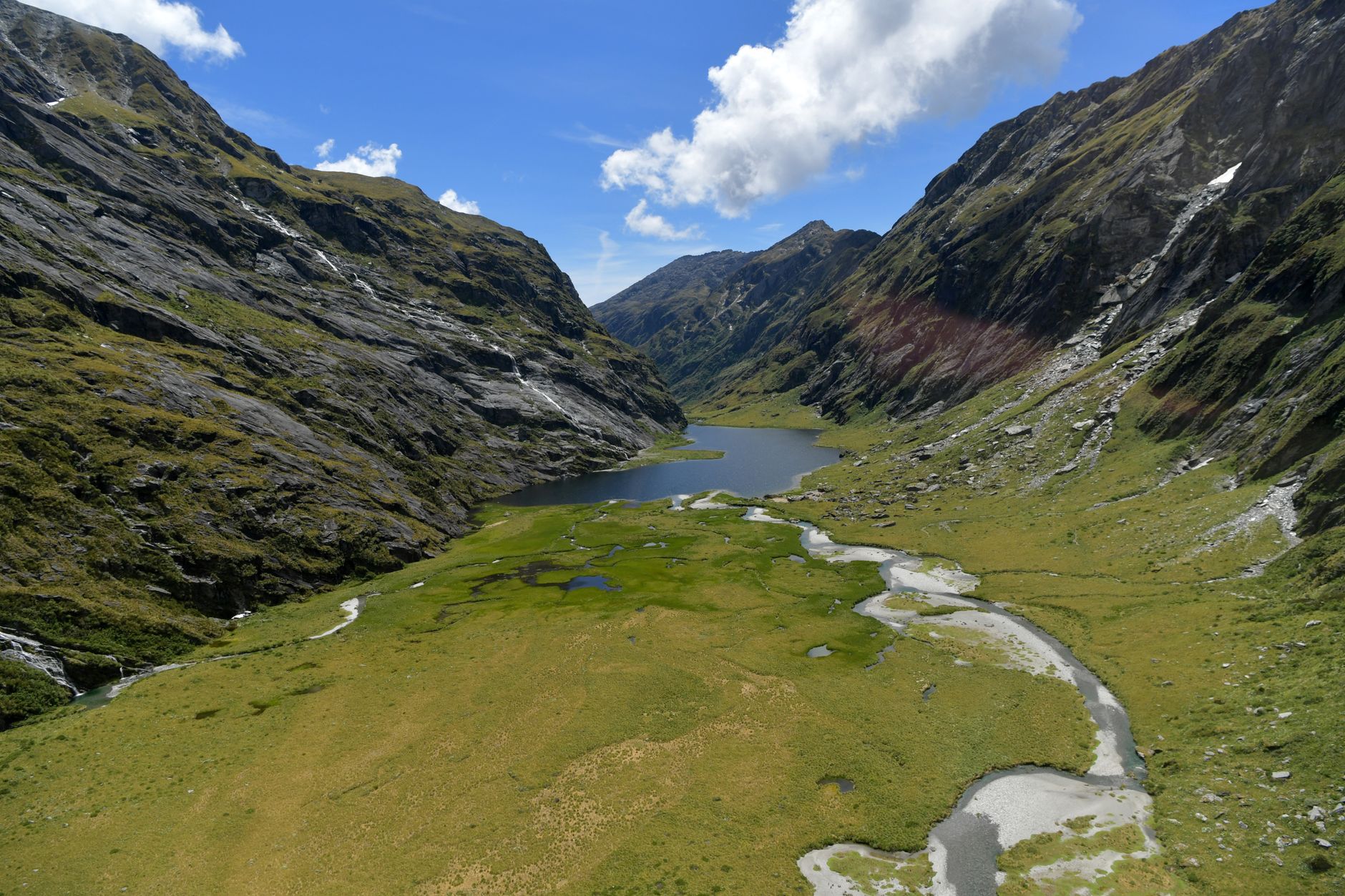
The southwestern extreme of New Zealand’s South Island represents one of the most formidable and relentless geographical environments on the planet. Here, the Southern Alps descend abruptly toward the Tasman Sea, carving a succession of submerged valleys known as fiords. In this territory of ice-carved peaks, temperate rainforests, and annual rainfall frequently exceeding seven meters, human mobility is not merely a logistical question; it is a discipline of survival and millimeter precision. Connectivity in the Fiordland Region depends on a delicate intermodal balance where high-mountain road engineering, coastal cabotage navigation, and fixed-wing and rotary aircraft adapted to highly volatile weather conditions converge.
For decades, the geographical isolation of this region has determined the pace of its economic and tourism development. Far from major national highways, the arteries communicating these remote locations demand constant maintenance and a deep understanding of local geological dynamics. This report examines the transport infrastructure sustaining life and transit in the heart of Fiordland, unraveling the technical and operational challenges faced by authorities, tour operators, and local communities to keep access open to one of the most breathtaking landscapes in the southern hemisphere.
The Genesis of Milford Road: Engineering in Hostile Territory
State Highway 94, commonly referred to as Milford Road, constitutes the sole terrestrial access route connecting the town of Te Anau with the iconic Milford Sound (Piopiotahi). Formally opened following decades of titanic construction works, this highway is a masterclass in civil engineering built in an environment where rockfalls, snow avalanches, and flash floods are daily threats. Each kilometer of asphalt serpentines through deep gorges, mossy forests, and exposed mountain passes, demanding a permanent deployment of heavy machinery and geotechnical monitoring equipment.

The most complex milestone along this route is the Homer Tunnel, a 1.2-kilometer bore excavated directly through the granitic rock of the Southern Alps at nearly one thousand meters of altitude. Originally opened in the 1930s, this single-lane tunnel regulates traffic flow via automated traffic lights and control personnel managing transit during peak hours. Tunnel management is a paradigmatic example of road logistics in high-mountain zones, where winter ice accumulation and upper slope instability force frequent preventive closures to safeguard the lives of drivers and passengers.
To mitigate the constant risk of avalanches during cold months, conservation departments and road authorities operate an active avalanche control program using controlled explosive charges. This protocol not only protects physical infrastructure but ensures that the essential supply chain and visitor flow toward sightseeing cruises experience no prolonged interruptions. The highway thus functions as a fragile lifeline whose resilience entirely depends on continuous state investment and the technical expertise of its maintenance crews.
Inland Navigation Network: Cabotage and Cruises in Deep Waters
Once land routes reach the marine confines of Milford Sound and Doubtful Sound, transport undergoes a radical transformation toward surface navigation. The fiords, deep trenches carved by ancient glaciers, offer waters protected from direct ocean swell yet subject to complex tidal currents and violent katabatic winds descending suddenly from surrounding peaks. In this scenario, the fleet of tour vessels, cargo ferries, and research ships operates under stringent maritime safety regulations.
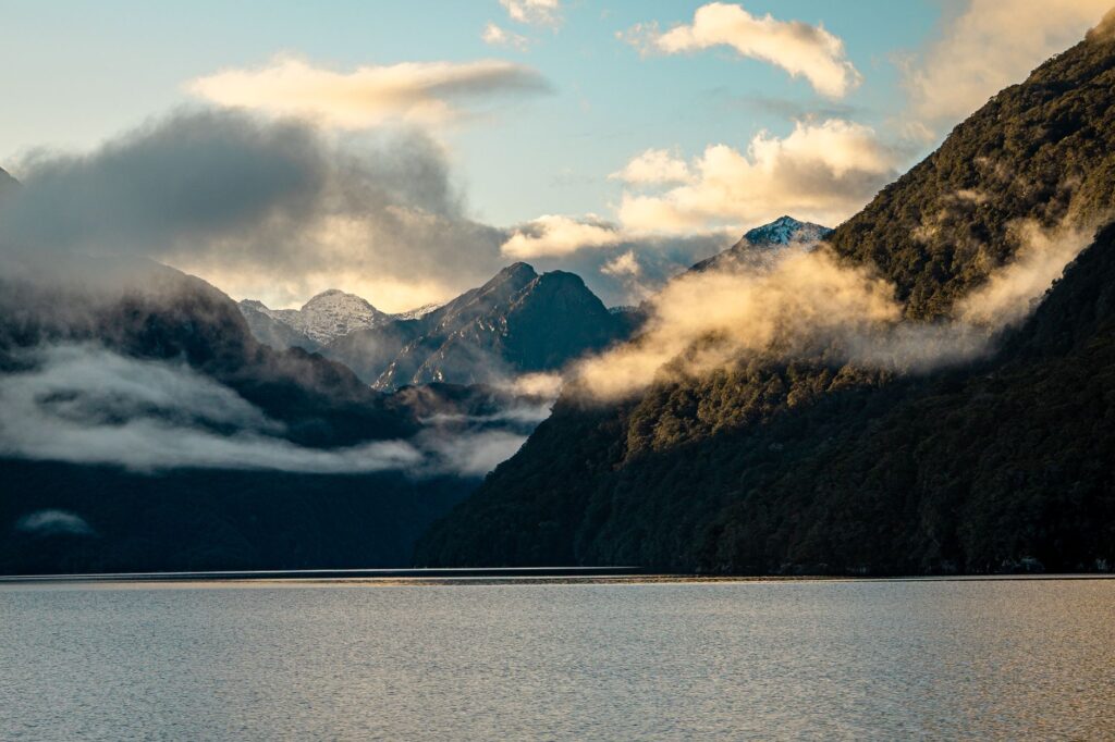
Maritime traffic management in Milford Sound has evolved significantly in recent years to prevent congestion in narrow docking basins and minimize environmental impact on the fiord’s fragile marine ecosystems. Commercial vessels must coordinate departure schedules with millimeter precision, utilizing advanced positioning systems and satellite communication to operate under reduced visibility conditions, frequent when morning fog or heavy rain reduces the horizon to mere meters.
Beyond passenger transport, maritime logistics is indispensable for supplying the few permanent installations in the area, as well as the local aquaculture industry specializing in rock mussel farming. Heavy cargo barges transport fuel, food, and construction materials that cannot be moved by road due to the weight and clearance restrictions of the Homer Tunnel, thereby completing a highly synchronized intermodal supply chain.
Mountain Aviation and Isolated Airstrips
When weather conditions block land and maritime access, airspace over the fiords becomes the only operational communication route. The region features several high-mountain airstrips and short landing runways, with the Milford Sound Aerodrome (NZMF) standing out as one of the most challenging and visually spectacular aeronautical enclaves in the world. Nestled at the base of a narrow valley and surrounded by vertical rock faces over one thousand meters high, this aerodrome demands pilots with special ratings and profound knowledge of local winds.
Twin-engine light aircraft and utility helicopters operate from Queenstown and Te Anau, transporting passengers, emergency medical personnel, and urgent supplies. Light aviation is not a luxury in Fiordland, but a critical component of the crisis response and wilderness search and rescue (SAR) system. Alpine rescue teams rely on helicopter capability to insert personnel onto inaccessible ridges under adverse weather conditions.
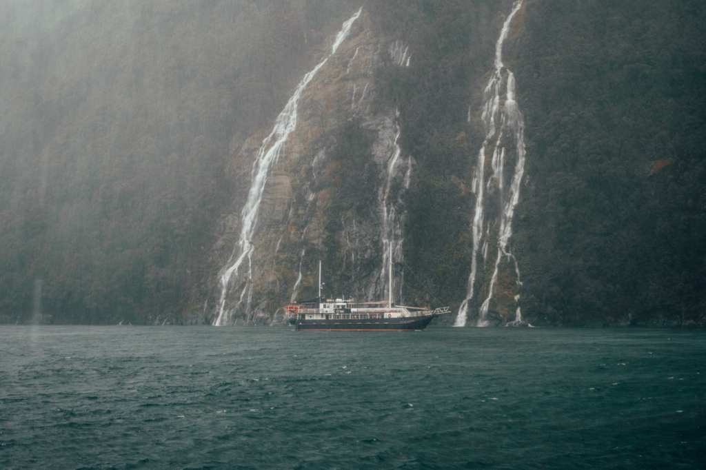
Flight over the Southern Alps is not a conventional tourist experience; it is visual confirmation that geography imposes its own rules and that aeronautical technology is the only real bridge between absolute isolation and civilization.
Regulation of this air traffic has required implementing strict flight corridors and GPS aircraft tracking systems. Since airspace is uncontrolled by radar across most of the region, pilots rely on common radio frequency communication and strict adherence to visual flight rules, minimizing collision risk in valleys where turning maneuvers are drastically restricted by topography itself.
The Impact of Mass Tourism and Logistical Sustainability
The exponential growth of international tourism in New Zealand over the past decade has placed unprecedented pressure on Fiordland’s transport infrastructure. With hundreds of thousands of visitors transiting State Highway 94 annually and embarking in Milford Sound, authorities face the critical dilemma of balancing economic development with environmental preservation within a national park designated as a UNESCO World Heritage Site.
To mitigate vehicular congestion, various proposals for centralized public transport have been evaluated, including shuttle bus services from distant hubs and restricting private vehicle traffic during peak hours. Likewise, tour operators are upgrading fleets with hybrid and electric vessels designed to reduce carbon emissions and noise pollution in protected fiord waters, where traditional engine echoes once disrupted the tranquility of the environment.
Waste management and wastewater treatment at remote terminals also form part of the logistical equation. Every liter of water consumed and every kilogram of waste generated must be transported out of the national park utilizing the same terrestrial and maritime transport network, underscoring the need to design circular, low-impact operational models in ecologically sensitive zones.
Practical guide
How to get there and plan your trip
The primary starting point for exploring the Fiordland Region is the town of Te Anau, located about a two-hour drive from Queenstown. There are no railway stations or large commercial airports in the immediate area, making road travel by rental car or authorized tourist buses mandatory.
Requirements and road safety
Driving along Milford Road requires extreme caution. Checking weather reports and road conditions before setting out is mandatory, as the Homer Tunnel can close without warning due to snowfall or avalanche risk. During winter months (June to September), using tire chains is an essential legal requirement.

Navigation logistics and reservations
Cruises on Milford Sound and Doubtful Sound must be booked months in advance during the peak austral summer season (December to February). Arriving at the port at least thirty minutes before boarding time is recommended to comply with maritime safety protocols.
Digital connectivity and self-sufficiency
Mobile phone coverage is virtually non-existent across most of the route between Te Anau and Milford Sound, as well as deep within the fiords. Travelers must download offline maps, carry sufficient fuel (there are no gas stations along the entire route once leaving Te Anau), and equip themselves with waterproof clothing suitable for changing weather conditions.
Visual and Human Epilogue at the Confine of the Tasman Sea
As the final ferry docks at the Milford Sound pier and sunset light begins to tint the vertical walls of Mitre Peak with copper hues, tourist frenzy gives way to profound geological silence. In this moment of stillness, the true dimension of travel in Fiordland reveals itself in full magnitude. Meteorological station workers, ship captains knowing every underwater current, and engineers monitoring asphalt stability share a quiet devotion to this southern confine. Their daily labor, invisible to the vast majority of visitors, sustains the delicate thread allowing humans to contemplate, with humility and respect, one of the most pristine and challenging landscapes on Earth.