

Introduction to the High-Altitude Desert
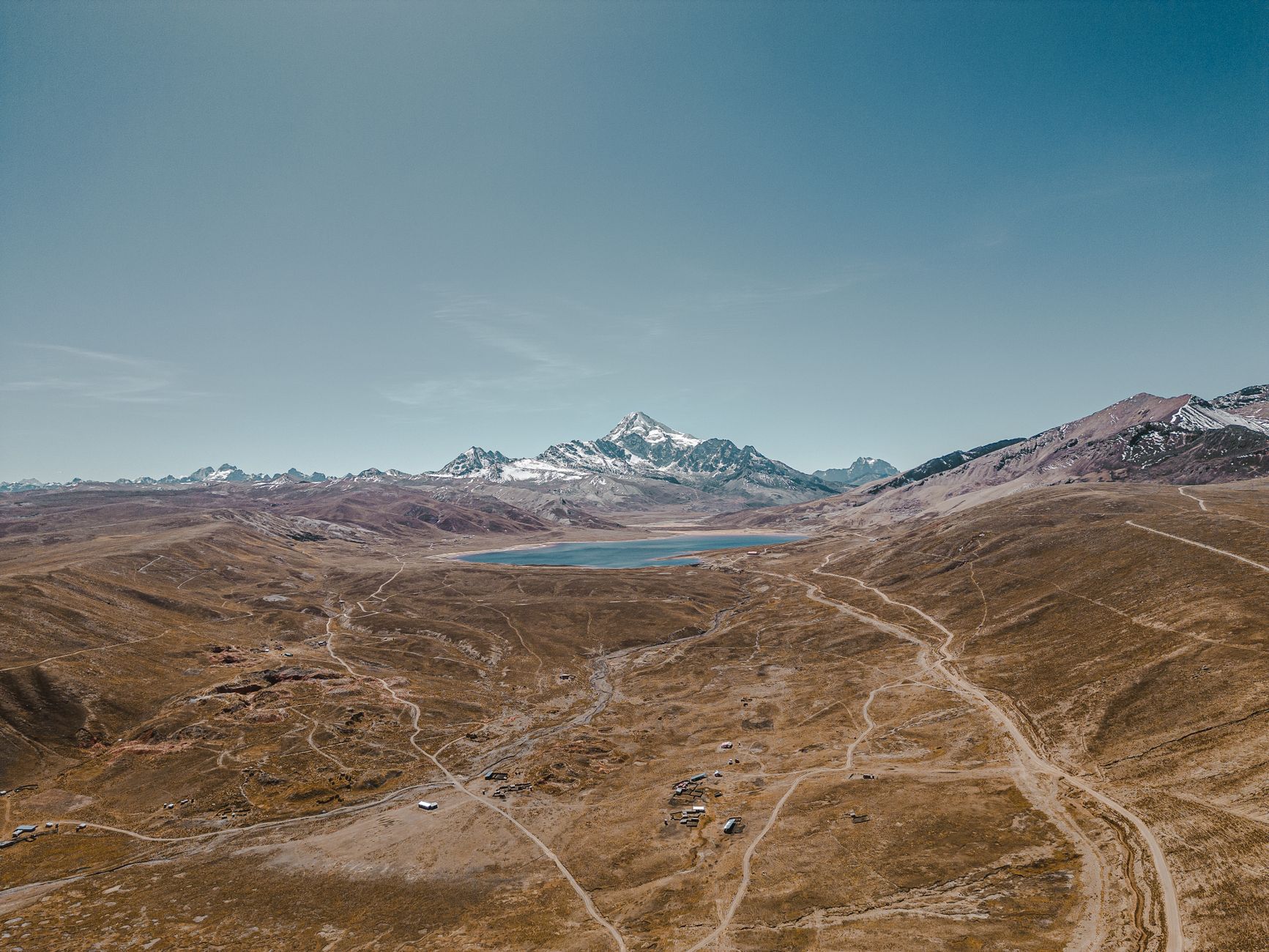
The Andean altiplano, geographically known as the Puna, stretches out as a vast desert plateau where the atmosphere thins and the horizon dissolves into white salt flats and extinct volcanoes. In this extreme territory located in northwestern Argentina, mere human subsistence and economic development depend on a network of infrastructures as fragile as it is vital. At over 3,500 meters above sea level, roads are not mere communication routes, but true lifelines defying gravity, thermal amplitudes, and relentless geographic solitude.
Connectivity in this region has undergone a radical transformation over recent decades, driven primarily by the lithium rush and large-scale mining operations. Yet beneath the surface of industrial growth beats an ancestral reality where herders, indigenous communities, and transporters share historic routes connecting subtropical valleys with the deep puna. This report examines how road engineering, heavy cargo transport, and public policies attempt to master an environment where nature inflexibly imposes its own rules.
National Route 40 as the Backbone
The backbone of this transportation system is the puna section of the iconic National Route 40, specifically along its traverse through the provinces of Catamarca and Salta. Here, asphalt gives way to consolidated gravel tracks, washboards, and loose dirt sections that demand four-wheel-drive vehicles and experienced drivers. Each kilometer of this route represents a monumental challenge for road maintenance due to wind erosion, summer flash floods from snowmelt, and sudden snowstorms blocking high passes for weeks.
For local communities, Route 40 is not a tourist attraction, but the only route to access high-complexity health centers, secure food supplies, and commercialize regional products such as vicuña fiber or Andean potatoes. Mining companies, meanwhile, have invested in upgrading detours and secondary roads, creating a symbiotic yet often tense relationship with traditional residents who see the tranquility of their pastures and native fauna disrupted.
The Impact of the Bi-Oceanic Corridor and Lithium
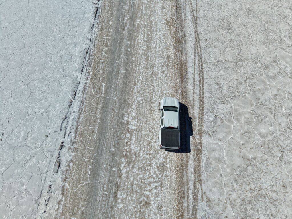
The lithium boom in the salt flats of Antofagasta de la Sierra and Salta has redefined the logistical map of the Southern Cone. Heavy transport trucks hauling chemical supplies and heavy machinery travel daily along corridors originally traced for mule trains. This has forced provincial governments to rethink transport infrastructure, prioritizing the consolidation of border passes like San Francisco, connecting Catamarca with Chile’s Atacama region.
This bi-oceanic corridor aims to relieve congestion on busier central passes and offer a direct outlet to Pacific ports for Argentine mining production. Nevertheless, the operating costs of working at altitude—with diesel engine performance reduced by lack of oxygen and premature wear on tires and suspensions—raise questions about the long-term economic and environmental sustainability of these routes.
High Passes and the Invisible Border
Crossing the Andes mountain range through the puna passes is an exercise in respect toward altitude. Passes like San Francisco, situated at 4,726 meters above sea level, operate under extreme weather conditions where gale-force winds and temperatures twenty degrees below zero are commonplace. Border infrastructure in these enclaves is minimal, consisting of high-mountain refuges and gendarmerie outposts that must self-sustain on solar power and fuel for months.
Digital connectivity along these stretches is practically nonexistent, making VHF radio communication the sole survival tool during mechanical or medical emergencies. Evacuation protocols for pulmonary or cerebral altitude edema require seamless coordination between land and air rescue teams, facing the unyielding limitation that traditional helicopters lose lift in such rarefied atmospheres.
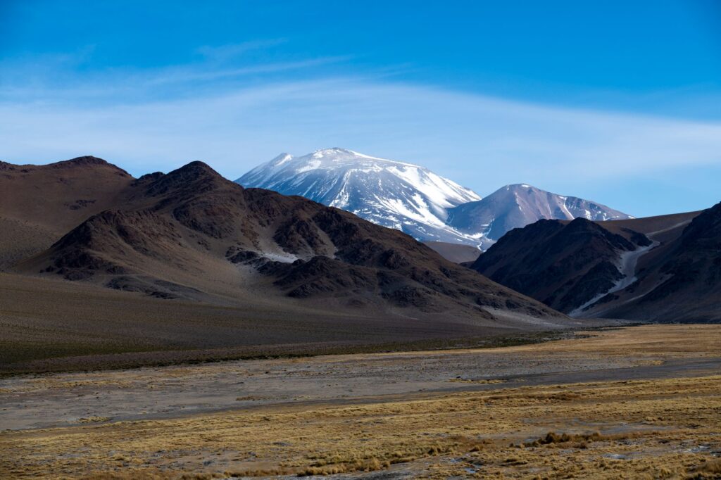
The Puna cannot be conquered; it must be traversed with the silent permission of the wind and the mountain, conscious that any mechanical failure can turn into a test of survival.
This structural vulnerability contrasts sharply with the rhetoric of modernization and industrial development promoted by official offices in provincial capitals. While investors analyze production and export charts, local truck drivers and mechanics deal daily with broken front axles and fuel scarcity at gas stations that can be hundreds of kilometers apart.
Architecture of Isolation: Stations and Ghost Towns
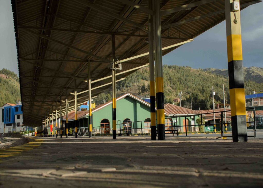
Along the route of the historic C-14 railway line—world-famous for the passage of the Train to the Clouds—railway stations stand today as open-air museums or small residential enclaves. Early 20th-century British railway architecture, built with volcanic stone and gabled sheet-metal roofs, survives as mute testimony to an era when the State committed to integrating the Puna through guided transport.
Today, the maintenance of the tracks climbing up to the La Polvorilla viaduct relies on fragmented state efforts, primarily designated for passenger tourism and, sporadically, mineral freight transport. The loss of the regular passenger train left many communities isolated from an economical transport medium, forcing them to rely on motor vehicle transport whose passenger and freight rates are often prohibitive for the local household economy.
The Role of Local Transport Cooperatives
Faced with the withdrawal or inadequacy of large bus companies, community transport networks and local cooperatives have emerged, operating adapted 4×4 pickup trucks for mixed passenger, mail, and cargo transport. These transporters are true unsung heroes of the Puna, capable of recognizing the changing state of trails and salt flats after a summer storm or a late frost.
Their empirical knowledge of the terrain surpasses any satellite cartography. They know which dry riverbeds turn into mud traps within minutes and which mountain passes accumulate impenetrable snowdrifts. Yet they operate informally due to strict national transport regulations that fail to accommodate the operational particulars of utility vehicles in high mountain zones.
Environmental and Energy Challenges on the Road
The expansion of road and mining infrastructure in the Puna is not free from severe ecological dilemmas. Salt flats are hyper-arid, fragile ecosystems, habitat for pink flamingos and extremophile microorganisms depending on highly delicate subterranean aquifers. Constant heavy traffic compacts surrounding soils, generates suspended dust clouds affecting high-Andean flora, and alters the natural migratory routes of vicuñas and suris.
Responding to the carbon footprint generated by fossil fuel transport, some mining operations and local communities are experimenting with photovoltaic solar microgrids to power high-altitude gas stations and checkpoints. Nonetheless, the energy transition in this environment remains slow and costly, burdened by enormous logistical distances and a lack of specific tax incentives for green innovation in extreme desert zones.
True progress in the altiplano is not measured by the speed with which its resources are extracted, but by the capacity to preserve the dignity and connectivity of those who inhabit the silence.
Waste management is another logistical Achilles’ heel. Everything brought up to the Puna must be brought down or treated in situ, as natural decomposition processes are extremely slow due to the cold and low atmospheric pressure. Puna municipalities, with meager budgets and reduced garbage truck fleets, find themselves overwhelmed by industrial and domestic waste generated by mass tourism and mining activity.
Practical guide
How to get there: The main access to the Argentine Puna is from the city of Salta or San Fernando del Valle de Catamarca. It is recommended to rent 4×4 vehicles with double fuel tanks, spare tires in perfect condition, and an air compressor.
When to travel: The best period comprises the spring and autumn months (October to April), when daytime temperatures are milder and winter snowfalls closing mountain passes are avoided.
Acclimatization: It is essential to spend at least two nights in intermediate towns like Purmamarca, Cafayate, or Fiambalá (between 1,500 and 2,200 meters) before ascending to sectors exceeding 3,500 meters to prevent altitude sickness (sorojchi).
Logistics and fuel: Fill the fuel tank in every urban locality (Salta, San Antonio de los Cobres, Fiambalá, Tinogasta) and carry additional reserve jerrycans. Do not rely on the vehicle’s standard autonomy.
Safety and communications: Download offline maps, carry layered technical cold-weather clothing (thermal amplitudes can exceed 30 degrees in a single day), and always report travel itineraries to National Gendarmerie outposts.
The Final Horizon of the Altiplano
When the traveler reaches the most remote salt flats and watches the sun sink behind volcanic peaks, the immensity of the puna landscape acquires an almost metaphysical dimension. The network of roads, railways, and border passes crossing this desert is nothing more than a thin human scar upon the eternal skin of the earth. Connectivity in the Puna will remain a precarious balance between economic ambition and reverential respect toward a territory that tolerates no improvisation.
At the end of the journey, the true wealth of the Puna lies not solely in the minerals resting beneath its white crust, but in the persistence of its people and the ability to keep open the routes of human understanding through silence, distance, and altitude.


