
Introduction to Atlantic Isolation
Navigating toward the Azores archipelago means stepping into one of the most complex and fascinating oceanic environments in the Northern Hemisphere. Located in the middle of the North Atlantic, halfway between Europe and North America, these nine volcanic islands emerge from the Mid-Atlantic Ridge like basaltic fortresses battered by an unforgiving sea. For the offshore sailor, the Azores are never just a minor stopover along the way; they represent a profound examination of respect for oceanic meteorology and a masterclass in onboard self-sufficiency. The sheer distance from the European continental shelf, situated over a thousand nautical miles to the east, demands meticulous planning where the operational margin for error is reduced to zero.
The purpose of this report is to untangle the technical, logistical, and human mechanisms that define a sailing passage between the islands of this remote Portuguese archipelago. From barometer reading ahead of incoming cold fronts in the heart of spring to mooring inside basins protected by volcanic breakwaters, every mile sailed requires an understanding of the interaction between abrupt coastal cliffs and the constant energy of groundswells. Far from coastal cabotage, the middle Atlantic imposes its own rules, compelling crews to coordinate every maneuver with the precision of a scientific expedition.
The Geography of Wind and the Azores High
The determining factor in any passage planned between the islands of this archipelago is the legendary Azores High. This semi-permanent high-pressure zone modulates atmospheric circulation across much of the North Atlantic, yet its position is never static. During the summer months, the anticyclone usually settles to the west or southwest of the islands, generating moderate northeast trade winds ideal for offshore sailing. However, during transition periods—such as May or September—the system shifts erratically, allowing the incursion of low-pressure systems originating near Newfoundland that transform fair weather into southwestern gales without prior warning.
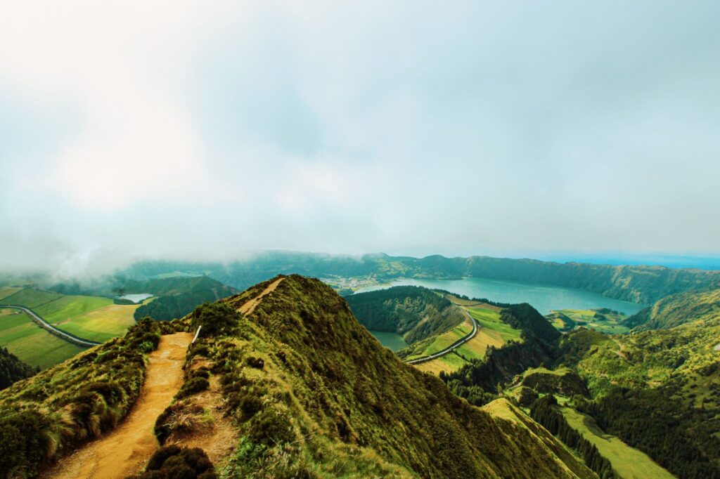
To confront these meteorological shifts with guaranteed safety, skippers must mistrust generalized internet forecasts and focus instead on high-altitude synoptic chart analysis. The volcanic topography of the islands acts as a colossal wind accelerator and deflector. Gentle air masses flowing freely over the open ocean suddenly compress when striking summits like Pico, Portugal’s highest peak at 2,351 meters, generating violent downdrafts and turbulence known locally as reverberations or katabatic winds, which can catch a vessel off guard with improper sail configurations.
Port Architecture and Refuges in the Rock
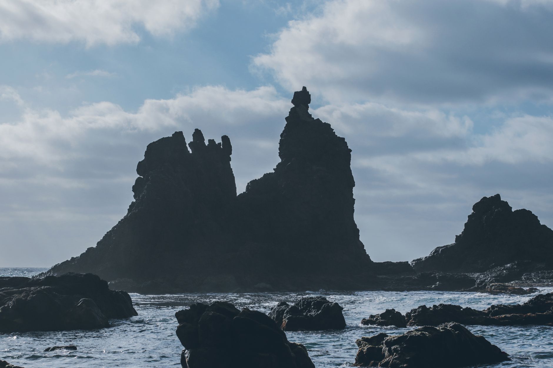
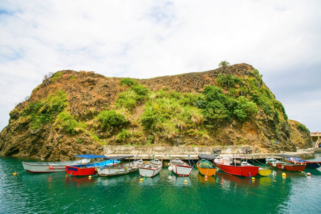
The port infrastructure of the archipelago is as singular as its geography. With rare exceptions, such as Horta harbor on Faial Island—the historic sanctuary for transatlantic sailors and solo voyagers—or the expanded basins of Ponta Delgada on São Miguel and Praia da Vitória on Terceira, most island shelters are small roadsteads or fishing ports wedged against the foot of basaltic cliffs. Entering these enclaves with northern or western groundswells requires a millimeter-precise maneuver, where vessel speed and timing against waves breaking across the harbor mouth are critical.
The sea of the Azores does not punish mistakes with warnings, but with the cold geometry of shallow ledges and the undertow that drives a hull against unprotected concrete.
Dock management on islands like Flores, Corvo, or Graciosa tests seamanship to its limits. Many of these docks lack floating fingers and operate with traditional bollards where tides, though moderate in amplitude—rarely exceeding one and a half meters—combine with sudden barometric oscillations. Having heavy-duty fenders, high-specification spare mooring lines, and a stern anchor system to prevent the hull from striking the vertical quay wall is a non-negotiable requirement before casting off lines from the previous port.
Crew Dynamics and the Psychology of Long Passages
Unlike coastal voyages where watches can be interrupted easily, jumping between distant islands such as São Jorge and Santa Maria involves continuous sailing legs lasting anywhere from twelve to thirty hours. In this regime, accumulated fatigue becomes the silent enemy of the crew. Watch rotation schedules based on two-hour or four-hour systems must be established before setting sail, accounting for the susceptibility to seasickness that many sailors experience during the first forty-eight hours due to the characteristic cross-seas of the middle Atlantic.
Galley management is another invisible pillar supporting team morale. Cooking with the vessel heeling at thirty degrees over choppy seas requires gimbaled stoves and rigorous menu planning focused on slow-release carbohydrates and minimal organic waste generation. Internal communication via helmet intercoms and the mandatory use of safety harnesses on deck, even in seemingly calm daytime conditions, establish a culture of preventative safety where overconfidence is paid for by falling overboard miles away from any rapid-rescue coverage.
Marine Biology and Respect for the Pelagic Ecosystem
Sailing the waters of the Azores places the crew inside one of the most important cetacean sanctuaries on the planet. Fin whales, sperm whales, pilot whales, and common dolphins frequently accompany vessels, riding the wake or breaching just meters from the bow. This coexistence imposes a strict ethical and legal responsibility. Sailing offers the advantage of acoustic silence, but vessel speed, especially when driven by a strong reach, can present a collision risk with surface animals.
Local whale-watching regulations mandate maintaining a cautionary distance of one hundred meters and reducing speed to under five knots if marine wildlife is detected. Furthermore, the management of onboard grey and black water must be absolute; dumping plastic waste or non-biodegradable detergents is strictly prohibited in waters whose transparency matches the fragility of their benthic ecosystems and deep-water coral reefs, which are studied by international oceanographic institutes stationed in the region.
Provisioning and Fuel Logistics in Insularity
Planning provisions and fuel tanks across a fragmented territory requires an understanding of the logistical limitations of each island. While major island capitals receive marine diesel (gasoil B) and fresh provisions easily via tanker trucks on the quay or nearby stations, smaller islands like Santa Maria or Corvo depend strictly on the regular arrival of the inter-island cargo vessel. A meteorological delay of three or four days at the origin port can completely paralyze local restocking.
Potable water is another resource managed with prudence. Although most of the archipelago features high-quality natural springs due to rainwater filtration through volcanic aquifers, refueling at secondary ports may require long-range hoses and prior inspection of onboard sediment filtration systems, as water from certain municipal island tanks carries fine mineral particles originating from high-altitude collection piping.
Practical guide
Best time for sailing: The months of June, July, and August offer the highest anticyclonic stability, featuring prevailing northeast winds of 10 to 20 knots and rolling swells. May and September are suitable for experienced sailors prepared to manage occasional cold fronts.
Permits and port authorities: Entry into the archipelago requires mandatory prior notification to the Port Captaincy of the arrival harbor via VHF channel 16 or email. It is mandatory to fly the Portuguese courtesy flag and the Q quarantine flag until free pratique is granted.
Main ports of entry: Horta (Faial) serves as the primary hub and customs clearance center for offshore sailors. Ponta Delgada (São Miguel) and Angra do Heroísmo (Terceira) offer complete logistical services and technical boatyards.
Recommended equipment: SSB communications system or satellite phone for downloading high-resolution GRIB weather files, lifejackets with integrated harnesses and strobe lights, an ISO 9650-certified life raft, and a complete set of updated paper navigational charts.
The Silence of the Anchor in Santa Cruz Cove
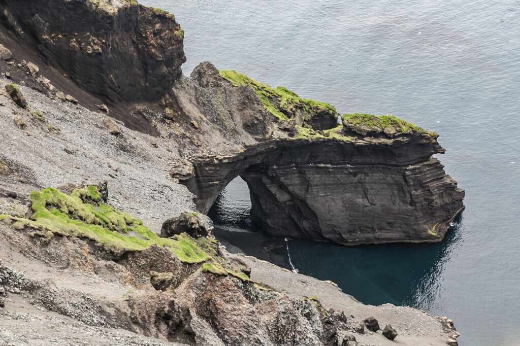
When the sailing vessel finally rounds the cape and leaves the agitated channel behind to anchor in a bay sheltered by black basalt cliffs, much like the secluded roadsteads of Flores or the northern coast of São Jorge, time assumes another dimension. The constant roar of wind in the rigging and the rhythmic slap of waves against the hull fade away, replaced by the distant murmur of a waterfall tumbling directly into the sea from atop the plateau. In that moment of stillness, with the anchor firmly bitten into a bottom of sand and volcanic rock ten meters down, the sailor grasps the true essence of this Atlantic outpost.
The lights of villages twinkling timidly along mountain slopes remind us that, despite the vastness of the surrounding ocean, these islands support tenacious communities that have turned isolation into their greatest strength. Turning off navigation instruments, contemplating the dark silhouette of the island profile cut against a night sky free of light pollution, and breathing clean air laden with marine moisture and the scent of wild hydrangeas is the perfect epilogue to one of the most demanding and rewarding journeys the sea can offer those who dare to challenge its horizons.