
The Atlantic coast of Galicia harbors within its river mouths and maritime inlets one of the most complex transport and blue economy systems on the Iberian Peninsula. In the heart of the Rías Baixas, the Arousa estuary is not merely a landscape of maritime postcards and mussel-cultivating rafts, but a dense logistical corridor where port engineering and traditional navigation converge on a daily basis. This amphibious territory demands a precise understanding of currents, prevailing winds, and tidal cycles to ensure provisioning, passenger transport, and the smooth dispatch of fresh seafood to European markets.
Far from seasonal bustle, life in this Pontevedra corner unfolds to the rhythm of the tides. Local fishermen’s guilds act as authentic local authorities in managing nautical traffic, coordinating the departure of inshore fishing boats with the docking of large coastal freighters at the docks of Vilagarcía de Arousa. The delicate balance between preserving the marine ecosystem and modernizing slipways and basins constitutes the great challenge of a region that has made the sea its sole and most demanding lifeline.
The Backbone of the Estuary: Port Infrastructure and Historic Basins
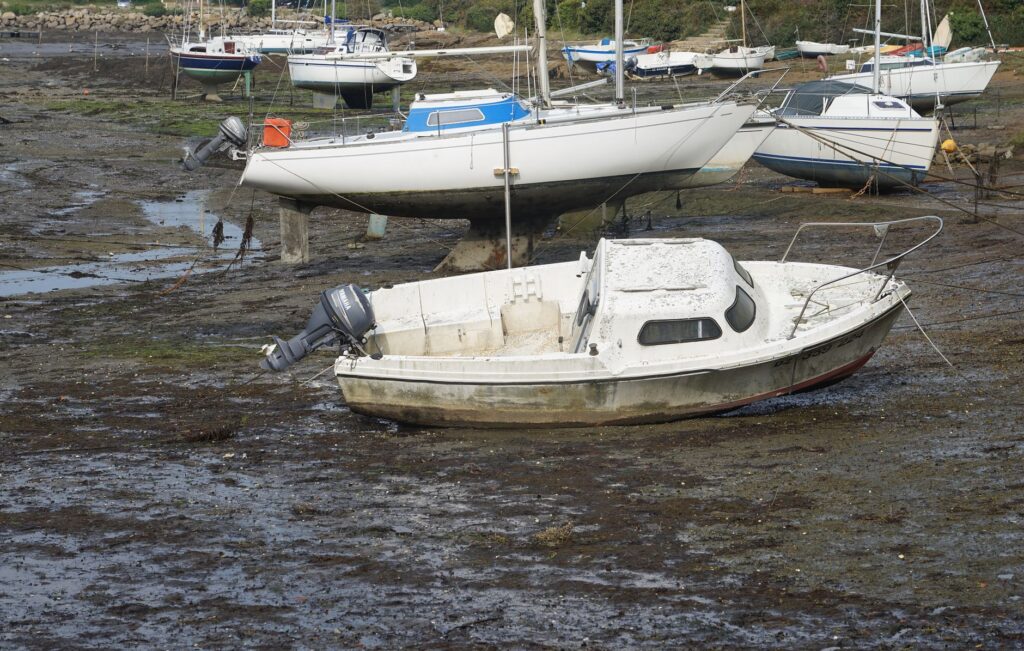
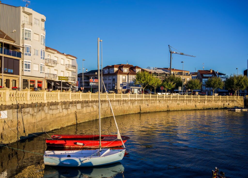
The port of Vilagarcía de Arousa represents the neuralgic hub for cargo and passengers in the northern sector of the province. Equipped with deep drafts and a container terminal directly connected to the peninsular rail network, this enclave functions as the commercial lung that relieves pressure on the ports of Vigo and Marín. Nevertheless, the true capillarity of the system lies in the smaller local ports of Cambados, Vilanova de Arousa, and O Grove, where activity fragments into dozens of floating docks dedicated to artisanal fleets and foot-gathering shellfish collection.

Civil engineering applied to these shores has evolved from traditional masonry stone breakwaters to modern floating breakwaters capable of mitigating heavy swells rolling in from the Atlantic islands. This transformation aims not only to protect vessels but also to optimize unloading times at the fish market. Speed in handling fish and shellfish is a critical factor of competitiveness, where every minute counts to ensure the catch reaches peninsular distribution centers under optimal conditions of freshness.
The Isthmus Engineering: The Arousa Bridge as an Insular Connectivity Landmark
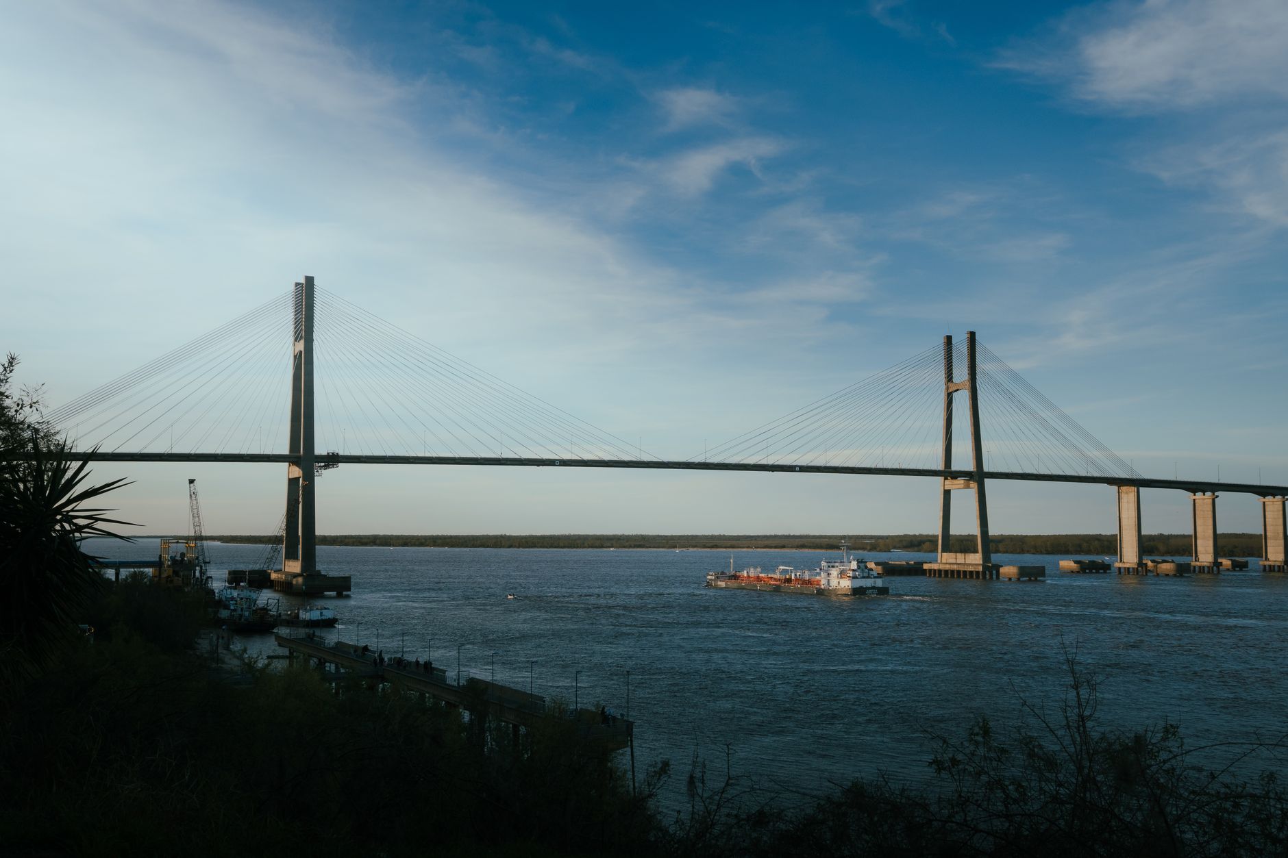
Until the mid-twentieth century, communication between the mainland and the island of Arousa depended exclusively on steam barges and small rowing boats, a system as romantic as it was vulnerable to winter storms. The inauguration in 1985 of the bridge linking Vilanova to the island marked an unprecedented socioeconomic revolution. Spanning nearly two kilometers, this road infrastructure radically transformed resident mobility, facilitating the daily transit of schoolchildren, workers, and freight without the uncertainty of sea conditions.
However, the integration of the island into the terrestrial road network brought new logistical and environmental challenges. Increased vehicular traffic during the summer months forced authorities to reassess the load capacity of both the bridge itself and the island access roads. Local administrations have had to implement specific mobility plans to protect fragile dune systems and shellfish beds in the south of the island, demonstrating that modern connectivity must coexist harmoniously with the conservation of the natural heritage that sustains it.
The sea is not a border separating the land, but rather the liquid highway uniting the daily toil of sailors, engineers, and inhabitants in a shared common destiny.
The Mussels’ Route: Aquatic Logistics and Miticulture Transport
The characteristic landscape of the Arousa estuary, dotted by thousands of wooden floating platforms known as bateas, conceals a complex network of aquatic transport and logistics. Each batea operates as a floating production unit requiring a constant flow of auxiliary boats, cranes, and specialized personnel. Mussels boats, engineered with reinforced holds and high-capacity cranes, run daily routes between the nurseries and processing plants located on firm ground.
This subsector of the blue economy generates intense internal maritime traffic that must coexist with the routes of tourist catamarans and scheduled ferry services connecting riverside towns with Arousa Island and the Atlantic Islands National Park. The marking of navigation channels and the buoyage of batea polygon areas are critical tasks executed by maritime authorities to prevent collisions and guarantee safety in a water mirror where professional fishing, intensive aquaculture, and nautical leisure converge.
Cabotage Transport and Inter-Estuary Passenger Networks
Beyond industrial and shellfish activities, the Arousa estuary maintains a historic network of passenger transport by sea. Regular ferry lines and tourist vessels not only connect the main ports along the Pontevedra shore but also establish seasonal routes to Sálvora Island and the Corrubedo dune complex. These connections help decongest regional highways during peak tourist influx periods, championing a decarbonized mobility model based on collective waterborne transport.
The modernization of these passenger fleets has progressed toward incorporating catamarans powered by low-emission engines and hulls optimized to reduce wake impact on fragile seagrass meadows. Coordination between vessel docking schedules and intercity bus lines on land constitutes a fundamental link in delivering a seamless and coherent travel experience for residents and visitors alike.
Climate Challenges and Sustainability in the Maritime Corridor
The rising surface temperature of the sea and the increasing frequency of extreme storms in the North Atlantic pose complex questions for the stability of Arousa’s port infrastructure. Breakwaters constructed decades ago suffer accelerated wear from the battering of higher-energy waves, compelling public administrations to undertake costly reinforcement and redesign works for the basins. Coastal resilience has become the top budgetary priority to safeguard local ports against climate change.
Likewise, the management of waste generated by port activity and aquaculture demands increasingly stringent protocols. Recycling nets, nylon ropes, and plastic structures used in the bateas forms part of a collective effort to clean the estuary and maintain the quality certification of its waters. Sustainability in this maritime corridor is not an abstract concept, but an indispensable condition for securing the economic survival of future generations of sailors.
Practical guide
How to get there: The main road access is via the AP-9 highway, connecting to the AG-41 fast road that penetrates deep into the Rías Baixas. By train, the Vilagarcía de Arousa station offers frequent high-performance services linking it to Santiago de Compostela, Vigo, and Madrid.
Internal mobility: To tour the estuary and its insular approaches, combining private vehicle use with regular intercity bus lines operated by Monbus is recommended. Crossing to Arousa Island is carried out via the PO-307 road viaduct free of charge and on a continuous basis.
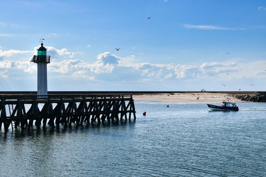
Navigation and excursions: Principal local shipping companies offer regular passenger services from the ports of O Grove, Vilanova, and Vilagarcía toward Arousa and Sálvora islands. Checking tide schedules and seat availability in advance during high season is strongly advised.
Best time to visit: Although port and shellfish activity remains constant throughout the year, the spring and early autumn months offer more stable weather conditions for navigation and enjoying the coastal landscape without overcrowding.
The Perpetual Echo of the Tides and the Maritime Future
As evening falls, when the last inshore fishing boats return to the docks with loaded holds and the silhouette of the bateas fades beneath Atlantic mist, the Arousa estuary reclaims a solemn silence. In this amphibious landscape where land and water merge sinuously, each tide writes a new page of human endurance and adaptation. Port engineering, the wisdom of sailors, and respect for the natural environment form the invisible trident sustaining this coastal heartbeat, reminding us that Galicia’s pulse beats to the steady, untamable rhythm of its sea.