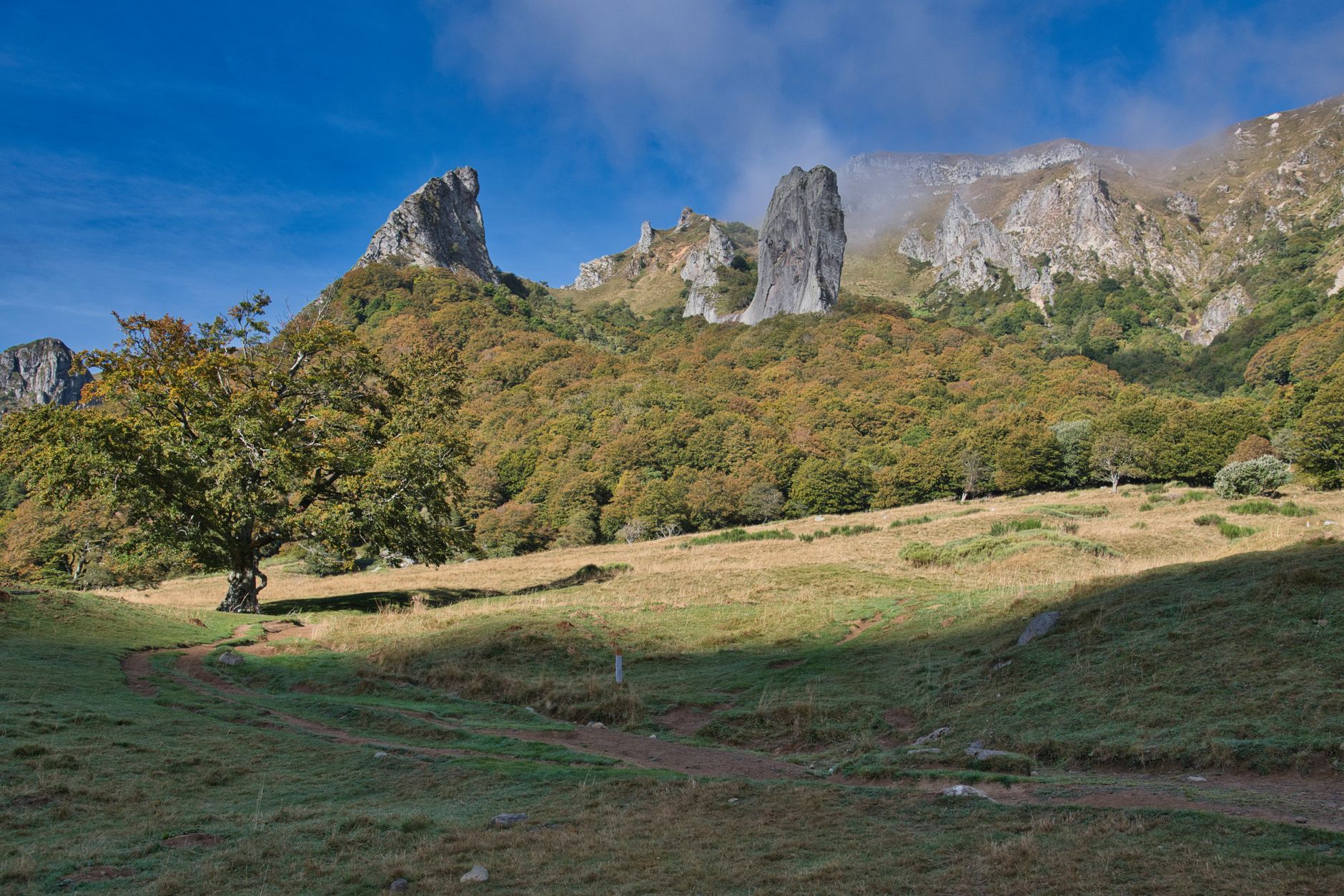

The Sentiero Italia is far more than a hiking route; it is a cartographic backbone that stitches together the geological, cultural, and historical seams of the Italian peninsula from the glacial peaks of the Friulian Alps to the volcanic cliffs of Sardinia and the sun-baked ridges of Sicily. Conceived in the late nineteen-eighties by a dedicated group of enthusiasts within the Italian Alpine Club (CAI), this monumental itinerary exceeds six thousand kilometers of continuous trail, earning its place as the longest continuous trekking route on the planet. Unlike other continental paths that unfold across homogeneous ecosystems, traversing the Sentiero Italia demands a chameleon-like adaptability from the trekker: one day requires navigating jagged dolomitic crests swept by boreal gales, while a few weeks later, the journey leads across arid limestone tablelands in the peninsula’s heart or ancient beech forests in the deep south. The logistical complexity of this undertaking lies in its vast expanse and the extreme heterogeneity of its support infrastructure. There is no single instruction manual for completing it in one sweeping push; rather, the expedition breaks down naturally into independent biogeographical segments, each with its own rules of autonomy, weather patterns, and supply logistics. This report examines with technical rigor the fundamental pillars required to successfully tackle one of the most demanding and rewarding hiking endeavors on the European continent.
Planning a journey of this magnitude requires shedding the mindset of a conventional day-hiker and adopting the perspective of a long-distance expeditionary. The topography of the Apennines, popularly known as Italy’s spine, is characterized by intense karst activity, abrupt elevation changes, and highly unpredictable middle- and high-mountain weather. Over the following sections, the critical aspects of preparation will be systematically dissected, from managing backpack weight and selecting official topographical maps to understanding regional camping regulations and interacting with the local communities that safeguard these ancient landscapes.
The Anatomy of a Colossal Route: Layout and Regional Fragmentation
To grasp the scale of the Sentiero Italia, analyzing its structural division is essential. The route officially begins either in Santa Teresa di Gallura on the northern tip of Sardinia or in Trieste on the border with Slovenia, depending on the logistical direction chosen for the expedition. The alpine and apennine branch starts in the northeast, winding through the Carnic and Julian Alps, descending the entire cordillera of the Apennines through iconic regions like Tuscany, Abruzzo, Lazio, and Calabria, before crossing the Strait of Messina to Sicily and concluding in Santa Teresa di Gallura after traversing Sardinia from south to north. This distribution means the trekker faces radically contrasting microclimates. In the north, alpine cold and sudden summer storms dictate the pace; in the center, the scarcity of surface water on karstic ridges forces meticulous calculation of water reserves; in the south, Mediterranean heat and summer drought impose dawn marches and extended rests during the central heat of the day.
Official cartography is the first technical hurdle the expeditionary must clear. Although the Italian Alpine Club has made a heroic effort in recent decades to unify trail markers with red-and-white paint and the numeric CAI code, sections still exist where erosion, rockfalls, or a lack of local maintenance complicate navigation. Relying exclusively on GPS devices is risky due to satellite signal loss in deep valleys and forested canyons. Combining printed topographic maps at 1:25,000 or 1:50,000 scale, a calibrated barometric altimeter, and a magnetic compass forms the uncompromisable core of the navigation system. Furthermore, understanding that detours toward population centers for resupply can add unexpected miles and elevation gains to the daily profile is vital for maintaining realistic march schedules.
The Geology of the Apennines: Terrain Reading and Relief Management
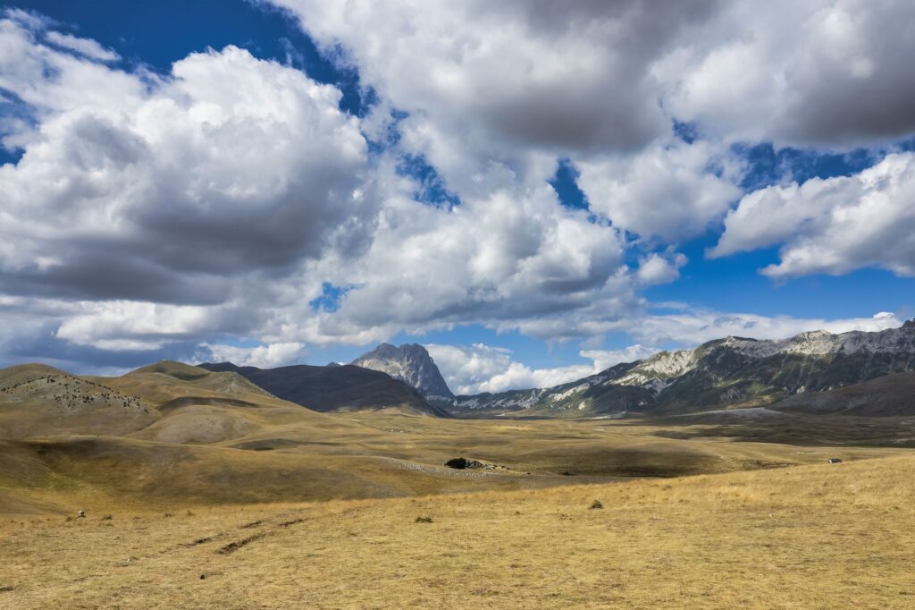
The Apennine terrain differs markedly from the granitic or metamorphic morphology of other European mountain ranges such as the Alps or the Pyrenees. Sedimentary materials predominate, particularly limestones and marls, creating a landscape of sharp ridges, vertical walls prone to erosion, and extensive karstic plateaus known as *campi solcati*. This geological nature has direct repercussions on the hiker’s safety. Limestone rocks slicked by rain or intense morning condensation acquire an extremely slippery texture, demanding footwear with high-traction outsoles (preferably Vibram Megagrip or equivalent) and mid-to-high ankles to protect joints during descents across unstable scree slopes or *ghiaie*.
“The Apennines are not conquered through brute force, but through geological patience; every fold of limestone and every karstic plateau reminds the traveler that the mountain sets its own pace.”
Another decisive geological phenomenon along the traverse is seismic activity and slope instability. Several zones in the central Apennines, particularly across Umbria, Abruzzo, and Marche, have experienced historical and recent earthquakes that altered the stability of traditional paths. Checking updated trail condition bulletins (*sentieri agibili*) published by local CAI sections before embarking on each stage is essential. Frequent and violent summer electrical storms over exposed ridges in the Apennines demand a systematic early start: the ideal objective is summiting mountain passes or exposed crests before noon, descending toward the relative shelter of forests or lower-altitude refuges before cumulonimbus clouds build up.
Refuges, Bivouacs, and Local Support Networks
Unlike the Alps, where the density of staffed refuges (*rifugi presidiati*) is exceptionally high, the Sentiero Italia features vastly uneven infrastructure. While northern sectors and certain zones within national parks like Gran Sasso boast reliable and comfortable public and private mountain huts, southern peninsular sectors and insular traverses in Sardinia and Sicily see a sharp decline in accommodations. In these areas, the trekker must rely on an informal network of rural farm stays (*agriturismo*), historic convents, small municipal guesthouses, or the responsible use of emergency bivouacs.
Bivouacking, understood as overnighting outdoors without permanent infrastructure or by using unmanned shelters (*bivacchi* or *casentie*), is governed by strict regulations that vary by region and whether the trail crosses protected areas or national parks. As a general rule, wild camping is prohibited or heavily restricted, permitting only overnight bivouacking (pitching a tent at dusk and dismantling it at dawn) in high-mountain zones provided private property is not infringed and protected flora remains untouched. A golden rule of self-sufficient trekking is leaving every site absolutely pristine, devoid of litter, and minimizing acoustic impact in fragile habitats shared with threatened species like the Marsican brown bear or the Apennine wolf.

Water Management in Karstic Terrains
One of the greatest tactical challenges along the Sentiero Italia is the chronic scarcity of surface water during middle- and high-mountain stages. Due to the porosity of the limestone rock defining much of the Apennine range, rainwater and snowmelt rapidly filter into subterranean aquifers, leaving ridges and tablelands completely devoid of active springs during summer months. Planning trekking days based solely on intuition or outdated maps can rapidly lead to severe dehydration.
The expeditionary must carry a water storage capacity higher than typical for other climates: a minimum of three to four liters per person for ridge sections lacking confirmed sources. Furthermore, reliable filtration and purification methods (hollow-fiber membrane filters combined with chlorine dioxide tablets) are mandatory, as water collected from secondary rural troughs, livestock watering holes, or valley streams may suffer contamination from extensive agricultural and pastoral activity. Consulting local shepherds (*pastori*) and villagers at passing settlements remains the most reliable and updated method for checking the true status of seasonal springs.
Nutrition, Route Pantries, and Territorial Gastronomic Culture
Sourcing food over a multi-thousand-kilometer traverse requires a delicate balance between equipment weight limits and enjoying local culinary culture. Packing ten days of food in a single backpack proves unfeasible due to the unsustainable load on joints. The optimal strategy consists of breaking the journey into three-to-five-day self-sufficiency intervals, scheduling resupply points at small village grocery stores (*alimentari*) along valley floors crossed by the path.
Apennine villages offer an exceptional pantry that enriches the travel experience. Long-shelf-life village bread, cured sheep’s milk cheeses (*pecorino*), local cured meats like *prosciutto* or *sopressata*, and dry legumes form the foundation of the walker’s diet. Unlike industrial dehydrated rations, consuming local products drastically reduces plastic packaging waste and streamlines purchasing logistics while connecting the expeditionary to the resilient rural economy keeping these territories alive. However, keeping Italian retail hours in mind is vital: many small shops close on Sundays and during early afternoon hours, making timely arrival at valley waypoints an operational priority.
Safety, Communications, and Emergency Protocols
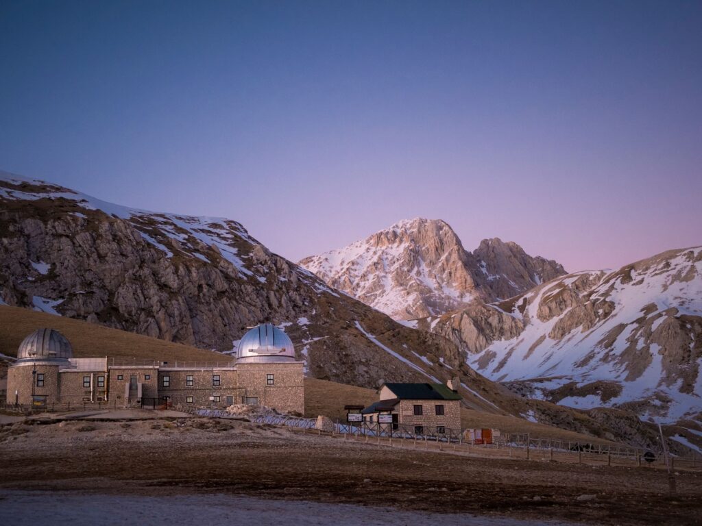
Safety along a linear long-distance trail relies less on raw physical fitness and more on anticipation and proper handling of the unexpected. Mobile communications across the Apennines are sporadic; while main valleys and prominent summits usually enjoy coverage from major carriers, deep gorges, forested ravines, and isolated tablelands often lack signal entirely. Carrying a satellite communication device or a GPS locator with an SOS function (such as a Garmin inReach or similar systems) is advisable to guarantee emergency transmission in case of serious injury.
Mountain rescue in Italy is operated by the *Corpo Nazionale Soccorso Alpino e Speleologico* (CNSAS), integrated within civil protection structures and coordinated with aerial medical emergency services (*Elisoccorso*). In an emergency, providing precise coordinates, the nature of the injury, and local weather conditions is critical. Maintaining an external backup battery (*power bank* of at least 10,000 mAh) protected from moisture and cold is an indispensable safety requirement to ensure navigation and communication devices remain operational throughout the day.
Low-Impact Practices and Ethical Hiking Etiquette
The exponential growth of nature tourism in recent years has begun leaving its mark on the fragile ecosystems crossed by the Sentiero Italia. Trail erosion from heavy foot traffic, the proliferation of plastic waste, and the disruption of wildlife are real issues demanding a firm ethical response from the hiking community. Adopting Leave No Trace principles is a moral obligation for anyone aspiring to traverse this green backbone.
“The true long-distance traveler leaves behind nothing but bootprints and carries away only the silent memory of a horizon shared with wild fauna.”
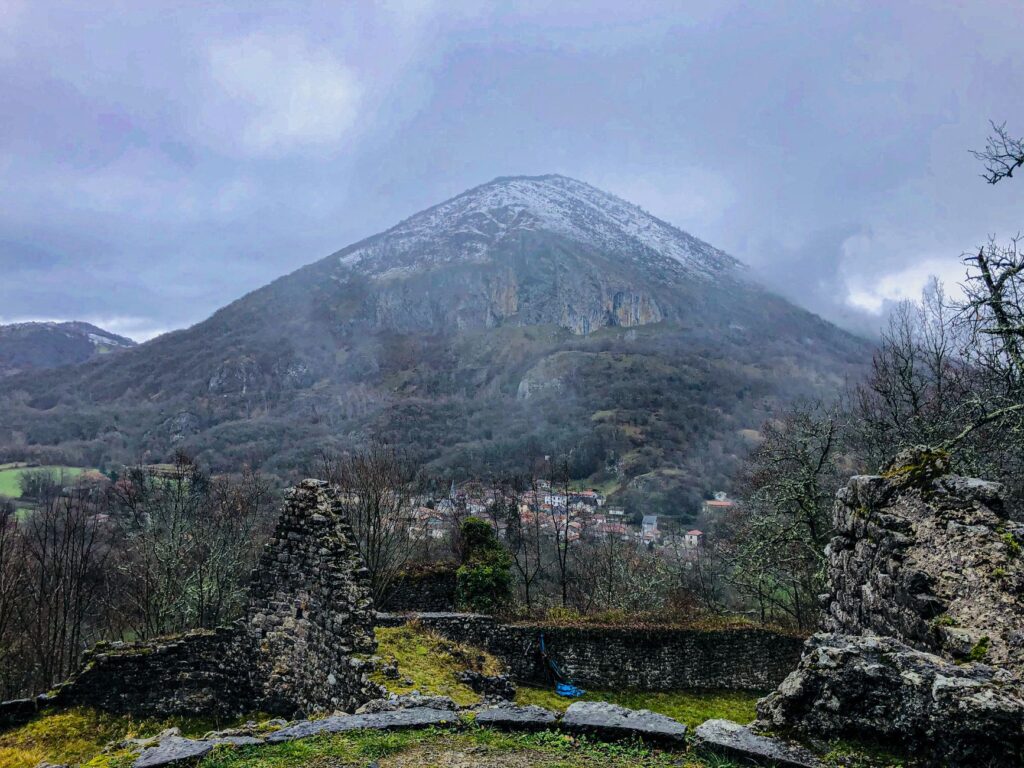
This entails not only packing out every crumb of organic waste (fruit peels take years to decompose in cold high-altitude climates) but also refraining from building fires outside strictly designated spaces, respecting livestock and guard dogs (*pastore maremmano*) by maintaining a prudent distance, and avoiding soap use—even biodegradable formulas—directly in natural watercourses. Trail sustainability depends directly on the individual conscience of every trekker choosing to travel with respect and humility.
Practical guide
Getting there: The Sentiero Italia features two official starting termini: Santa Teresa di Gallura (Sardinia) and Trieste (Friuli-Venecia Julia). To access Trieste, Trieste-Ronchi dei Legionari Airport offers direct rail connections to the city center. For the Sardinian section, daily ferries from Civitavecchia or Genoa connect to northern ports on the island.
Best time to visit: Optimal months for the continental section run from late June through late September, when most winter snow has cleared from summits. In Sardinia and Sicilia, spring (April to June) and autumn (September to November) are preferable to avoid extreme Mediterranean summer temperatures.
Permits and regulations: No single permit is required to hike the trail, but checking specific regulations across numerous national parks (*Gran Sasso e Monti della Laga National Park*, *Abruzzo, Lazio and Molise National Park*, etc.) crossed along the way is mandatory, particularly regarding wild camping bans and summer wildlife protections.
Estimated budget: Daily costs vary notably by accommodation style. Combining free bivouacs, permitted camping spaces, and self-managed rural lodgings, an indicative budget ranges between 35 and 60 euros daily per person.
Recommended gear: Mid-height waterproof hiking boots, 50-to-60-liter backpack, water filtration system, telescopic aluminum poles with summer and winter baskets, breathable layered technical clothing, advanced first-aid kit, and a satellite communication device.
Language and local contact: Italian is the vehicular language along the entire route. Securing updated contact details for local Italian Alpine Club (CAI) sections corresponding to each province is highly recommended for resolving questions regarding trail and refuge conditions.
Recommended cartographic reading: Official topographic maps published by CAI in collaboration with specialized publishers like *Kompass* or *IGC* (Istituto Geografico Centrale), supplemented by offline mobile navigation apps with vector mapping support.