
The Hidden Geography of Gold and Stone
Central Minas Gerais cannot be understood solely through its gold-leaf-covered churches or the irregular layout of its cobblestone streets. In the mountainous landscape surrounding Ouro Preto beats a geological and mining history that shaped the destiny of an entire continent during the 18th and 19th centuries. The steep slopes of the Serra do Espinhaço conceal a network of tunnels, hydraulic trenches, and cuts in the living rock that reveal the scale of colonial gold mining. Here, water was not merely a natural element, but the driving force and solvent that separated the precious metal from the quartz matrix, sculpting an artificial relief that remains an inseparable part of the local ecosystem today.
An analysis of this geography reveals that extraction was not limited to riverbeds. Colonial engineers and foremen designed complex networks of earth-excavated aqueducts, locally known as levadas, which transported water from the peaks down to the foothills to feed high-pressure washing operations. This technical deployment radically transformed the natural drainage of the valleys, generating sediment accumulations and topographical scars that still puzzle geologists today. Sandstone and auriferous quartz veins were subjected to unprecedented extractive pressure in Latin America, leaving behind a monumental legacy alongside a fragile environmental balance.
The Architecture of Tearing and Botanical Recovery
With the decline of surface veins in the late 18th century, mining settlements underwent a radical reconfiguration process. Slopes stripped of native tree vegetation due to massive logging for mine props and firewood began a slow biological regeneration process. Today, pioneer species and endemic grasses colonize the slopes sculpted by colonial hydraulics, generating a landscape mosaic where human intervention and mountain biodiversity coexist in permanent tension. The recovery of these acidic, depleted soils requires constant scientific monitoring to prevent severe erosive processes during the tropical rainy season.
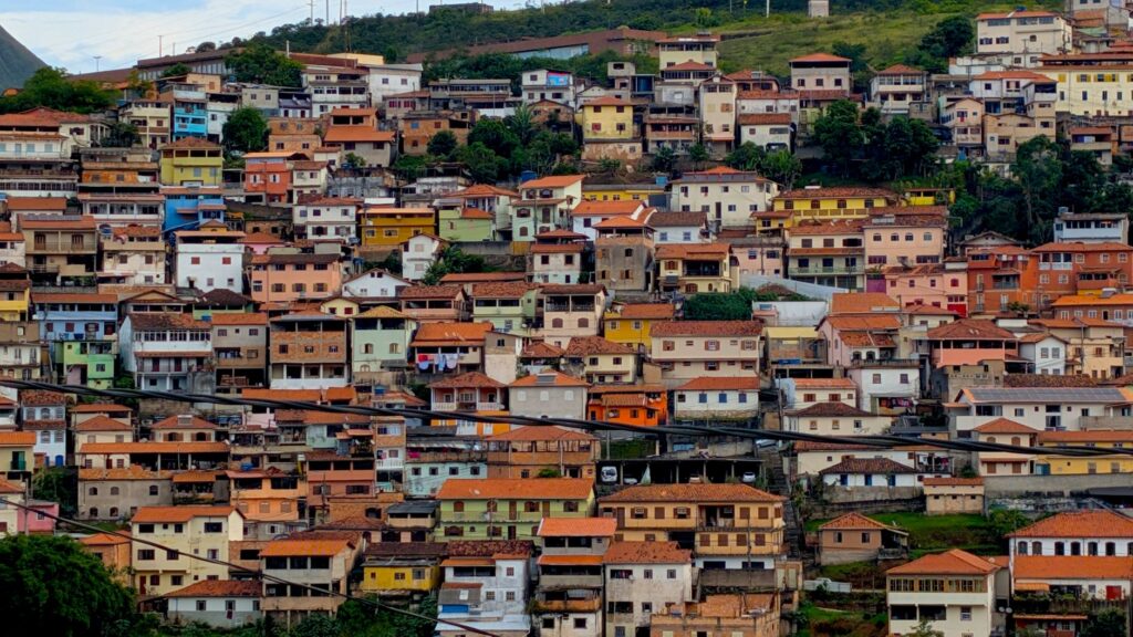
Concurrently, Ouro Preto’s urban architecture responds directly to this rugged topography. Houses and public buildings are tiered along ridges and ravines following the lines of least resistance in the terrain—a model of spontaneous urbanism strictly conditioned by the location of the deposits. The steep streets, paved with irregular stone slabs, function simultaneously as circulation routes and stormwater collectors, channeling summer storms toward the lower riverbeds crossing the valley. This primitive urban design demonstrates a remarkable empirical adaptation to a hostile and changing physical environment.
The Engineering of Water in the Bowels of the Range
Water supply in a high-slope environment posed one of the greatest challenges for mining operators and expanding civilian settlements. To supply both gold washing facilities and the growing population, canalization systems were devised that harnessed surface runoff and high-altitude springs through gravity. These structures, many built with dry-stone walls and clay linings, run for kilometers along the contour lines of the Serra do Espinhaço, demonstrating an advanced mastery of topography well before the advent of modern cartography.
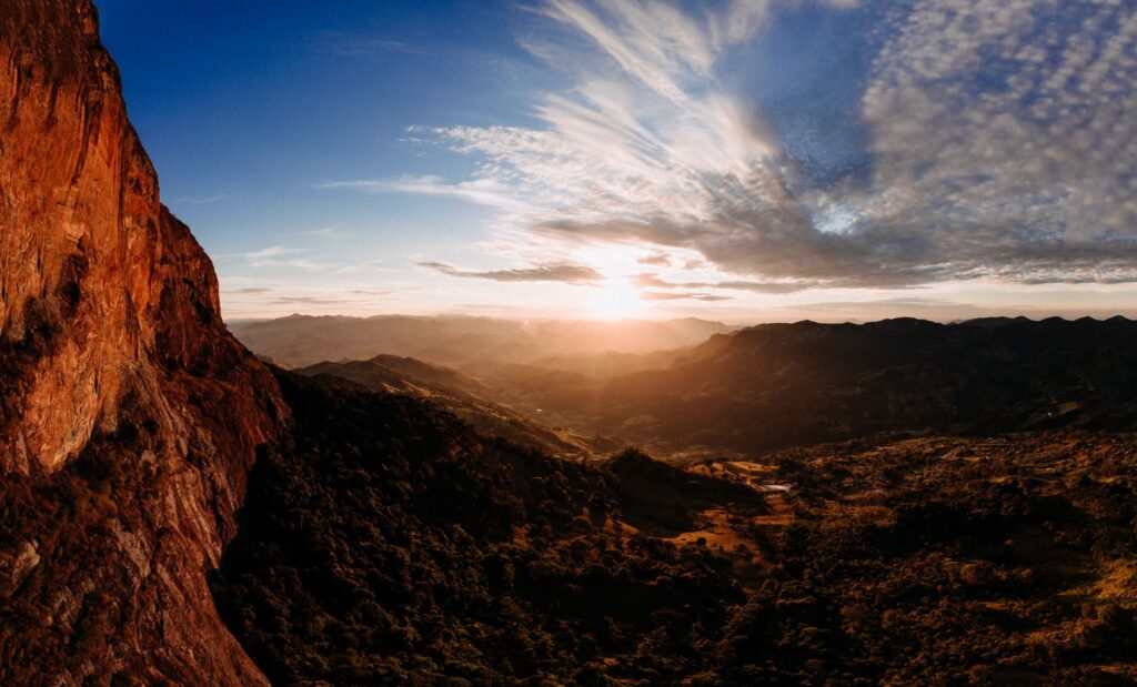
Maintaining these conduits required constant, specialized labor dedicated to clearing sediments and repairing vulnerable sections prone to landslides. Inside underground mines, such as the historic Passagem or Chico Rei mines, water management became critical. The accumulation of water tables required the installation of gravity drainage systems or rudimentary waterwheels to evacuate excess moisture, allowing extractive work to continue dozens of meters below the rock surface. The constant humidity inside these cavities contrasts sharply with the apparent dryness of the outer slopes.
The Chemistry of Mercury and Historical Sedimentation
The recovery of fine gold in colonial centuries depended not only on hydraulic force; it also required the intensive use of mercury for amalgamation. This chemical process, introduced from European metropolises, left an invisible yet persistent trace in the sediments of local rivers and the soils of former processing yards. Recent geochemical research in the Doce River basin and its minor tributaries has documented elevated concentrations of heavy metals, proving that historical mining activity continues to diffusely release reactive elements into the aquatic environment during flood periods.
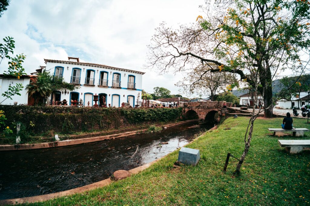
Contemporary management of this industrial heritage demands rigorous monitoring that balances archaeological preservation with environmental safety. Geological heritage restoration experts work to stabilize ancient tailings dams and contain mining debris to prevent the silting up of current riverbeds. Unlike other European industrial enclaves where conversion has been carried out through tech parks or open-air museums, Ouro Preto and its surroundings function as an inhabited territory where the mining past permanently surfaces in the daily lives of its residents.
The Social Fabric and Worker Memory in Industrial Transition
The transformation of artisanal mining into larger-scale operations in the late 19th century gave rise to working-class communities with clearly defined identities in the Minas Gerais region. The arrival of foreign engineers attracted by the mineralogical potential, along with local labor and descendants of enslaved people, shaped a complex social melting pot. Religious brotherhoods and confraternities played a fundamental role in community cohesion, financing the construction of smaller chapels in peripheral neighborhoods where miners and artisans found a space for representation and mutual support against harsh labor conditions.
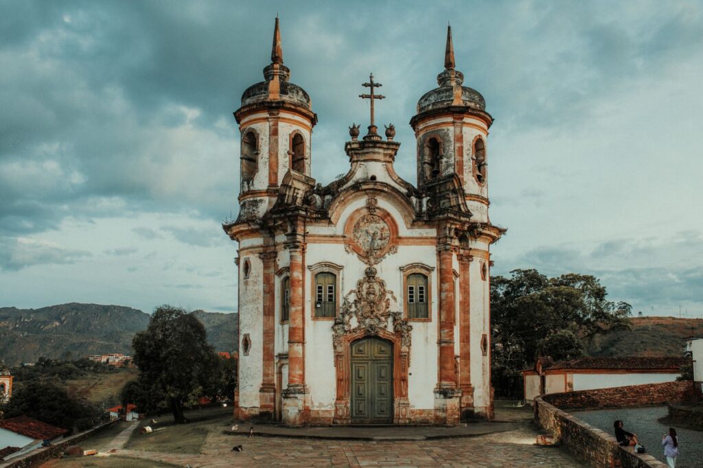
This intangible heritage survives in oral traditions, religious festivities, and the traditional stone-carving and goldsmithing techniques passed down through generations. Local workshops continue to use traditional manual tools for the restoration of historic monuments, guaranteeing the material authenticity of buildings protected by UNESCO. Far from being a static museum piece, Ouro Preto’s community daily manages the tensions arising from global tourist pressure and the urgent need to preserve its fragile urban and natural infrastructure.
Responsible Tourism and Geological Heritage Conservation
In recent decades, visitor flows to the region have grown steadily, forcing local authorities and academic institutions to rethink tourism management strategies. The model based exclusively on the saturation of historic centers during weekends has proven unsustainable for both the conservation of colonial pavements and residents’ quality of life. In response, scientific hiking routes and geological interpretation trails have been promoted, diverting attention toward the ancient levada routes and the mountain’s natural viewpoints.
These initiatives aim to foster a deep understanding of the landscape, explaining that every trail, retaining wall, and rock outcrop tells a story of human environmental transformation. Local guides trained in geology and industrial heritage offer explanatory tours detailing erosion risks and the importance of respecting protected vegetation zones. The goal is to consolidate low-impact tourism that values the fragility of an ecosystem indelibly marked by centuries of intensive mining while recognizing the scientific value of its geography.
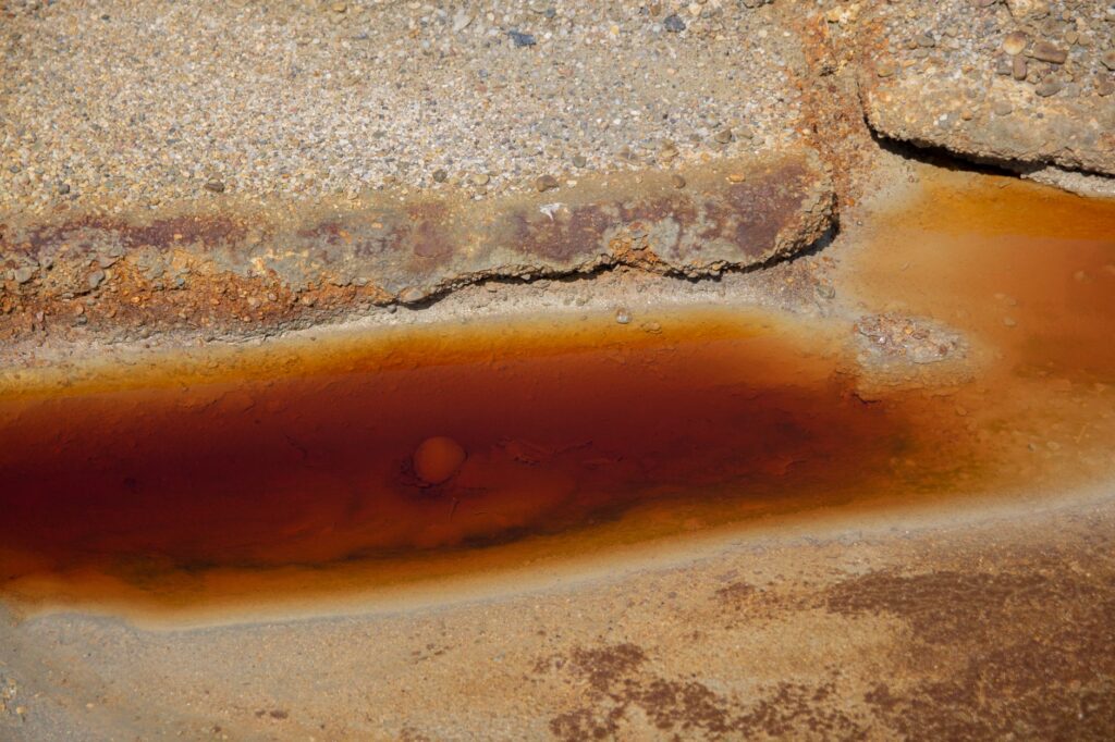
The mountain landscape is not a picturesque backdrop, but a tridimensional archive where stone, water, and human effort preserve the exact memory of their own transformation.
Practical guide
Planning a rigorous visit to the Ouro Preto mining district requires understanding its climatology and complex urban topography before setting out.
- How to get there: The primary access is via Confins International Airport in Belo Horizonte, located about 130 kilometers to the north. From the state capital, regular buses operate hourly to Ouro Preto, or travelers can rent vehicles to navigate the mountainous BR-356 highways.
- Best time to visit: The dry season, spanning from April to September, offers the most stable conditions for hiking and visiting open-air archaeological sites, avoiding the heavy tropical storms of the southern summer.
- Accommodation: Travelers are advised to prioritize historic inns located in the old town, housed in former colonial mansions that respect strict heritage conservation regulations set by IPHAN.
- Excursions and bookings: Visits to historic underground mines, such as the Passagem mine, must be booked in advance and conducted exclusively with certified guides and approved safety equipment.
- Clothing and gear: High-traction footwear is essential for navigating Ouro Preto’s steep, slippery stone streets, along with specific trekking shoes for mountain trails.
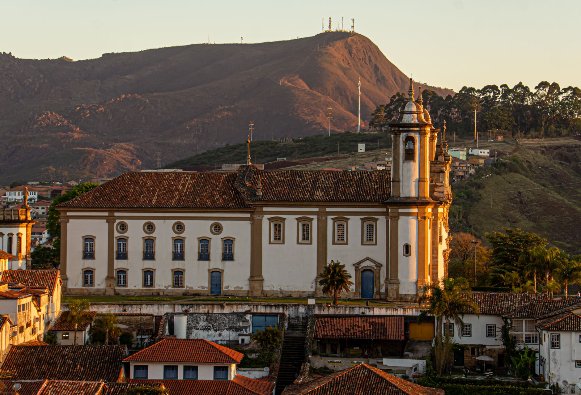
Dusk over Ouro Preto’s baroque domes bathes the sierra’s quartzite in ochre and metallic flashes, reminding visitors that beneath the surface of this ancient landscape, the silent persistence of stone and water still beats.