
Introduction to the Southern Edge
At the southernmost edge of the planet, where the roaring forties lash with relentless consistency against the shores of the southern hemisphere, the island of Tasmania stands as a bastion of geographical isolation and human resilience. Separated from the Australian mainland by the treacherous and frequently violent waters of the Bass Strait, this landmass of rugged topography and temperate-oceanic climate has historically depended on navigation to maintain its vital pulse. Far from constituting a mere leisure route, the maritime and road corridor connecting the port of Melbourne with Tasmania’s northern coast represents an irreplaceable logistical lifeline, where high-speed naval engineering and port planning converge to defy the tyranny of distance.
The study of this insular connectivity demands a perspective that reaches beyond the postcard imagery of national parks and temperate rainforests. The true backbone of Tasmania lies in its capacity to articulate a highly complex multimodal transport system, capable of absorbing both perishable freight flows and the steady movement of residents and travelers transiting between Devonport and the mainland. This report examines the invisible infrastructure that makes life possible in the Apple Isle, breaking down the technical, economic, and environmental challenges defining contemporary mobility in this southern corner.
The Northern Gateway: Devonport and the Mersey Estuary
Tasmania’s northern facade finds its primary entry artery in the Mersey River estuary. The port city of Devonport is not merely a geographic point on the map, but a strategic logistics node where national highways and deep-draft ferry routes converge. The port infrastructure of Devonport has undergone profound transformations over recent decades, adapting to the constant increase in length and tonnage of modern vessels. Articulated docking ramps, automated mooring systems, and expansive staging yards respond to the need to manage operations where turnaround times at the pier must be minimized to the second.
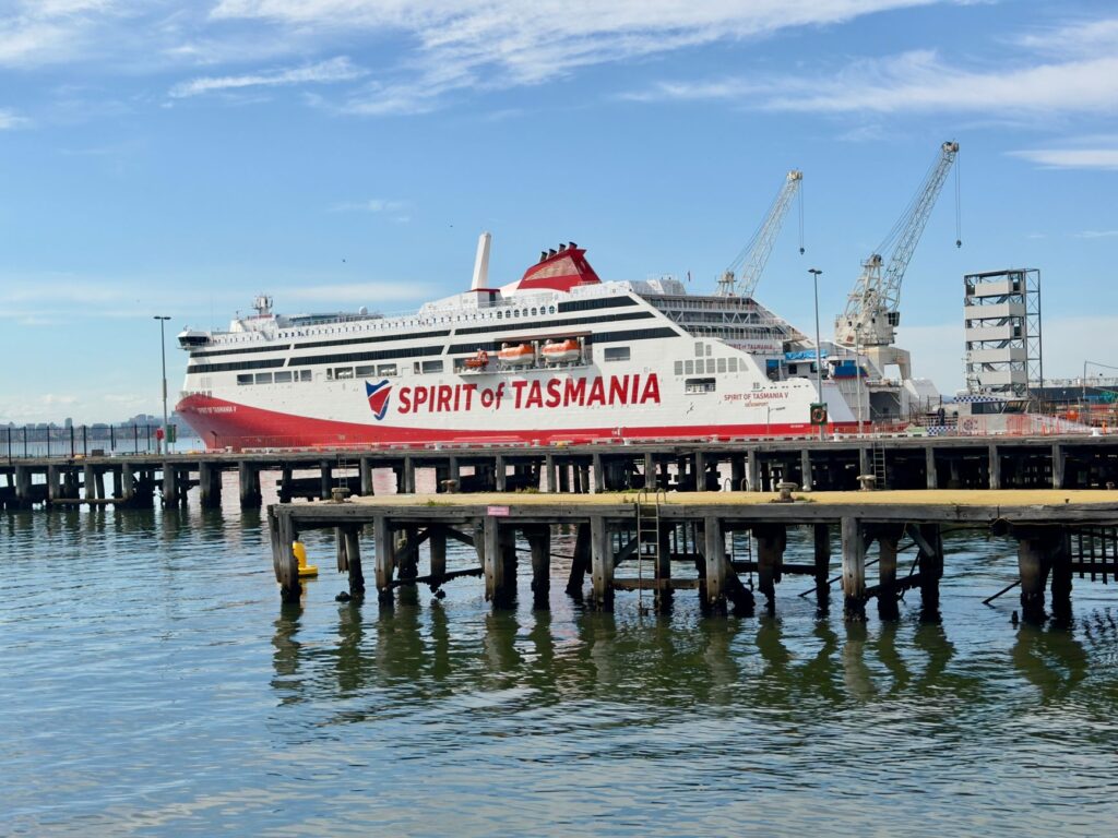
Daily operations at this port demand meticulous synchronization among port authorities, shipping lines, and heavy transport operators. Every day, passenger and roll-on/roll-off cargo vessels dock with pinpoint precision, transporting everything from protected-origin agricultural produce to heavy industrial machinery. This constant flow demonstrates that insularity is not an insurmountable barrier, but an engineering challenge resolved through the optimization of highly specialized port terminals and permanently dredged channels ensuring access for large ships under any tidal condition.
The Colossi of the Bass Strait: Naval Architecture and Speed
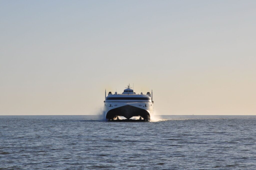
Crossing the two hundred and forty nautical miles separating the Australian mainland from Tasmania is no trivial undertaking. The Bass Strait is renowned for crosscurrents, gale-force winds, and a wave regime capable of testing the structural integrity of any vessel. To overcome this natural obstacle, the fleets operating the route have evolved toward high-speed catamaran designs and high-stability conventional ferries, popularly known as the giants of the strait. These vessels combine advanced hydrodynamic hulls with powerful diesel-electric propulsion systems ensuring operational viability even in adverse weather conditions.
The interior design of these ferries reflects meticulous attention to passenger experience and logistical efficiency. The lower decks are dedicated exclusively to roll-on/roll-off cargo transport, configured with seismic and marine lashing systems preventing heavy vehicle shifting during gales. On the upper decks, interior architecture prioritizes ergonomic comfort, offering panoramic lounges, rest areas, and tourist information centers anticipating the arrival on the Tasmanian coast. Investment in these fleets demonstrates that contemporary maritime connectivity must balance industrial robustness with human comfort.
The true measure of an island is not calculated by the kilometers separating it from the mainland, but by the precision of the wake traced by its vessels to shorten that distance.
The Internal Arterial Network: Mountain Roads and Extreme Topography
Once passengers and cargo disembark on Tasmania’s northern coast, they confront a territory marked by relentless topography. The island’s road network, anchored by the Bass Highway and the Midland Highway, winds through glacial valleys, volcanic plateaus, and dense temperate rainforests. Keeping this road infrastructure operational year-round requires monumental budgetary and technical effort. Road engineers must contend with recurrent landslides, winter snow accumulation in mountain passes, and constant erosion caused by rainfall exceeding mainland averages.
The asphalt paving and signage of these routes respond to strict international safety standards, incorporating weather-warning technology and containment barriers adapted to native wildlife. Along the central route, historic stone bridges coexist with modern prestressed concrete girder viaducts, illustrating a century of civil engineering evolution. This terrestrial backbone connects interior agricultural production centers with export ports in Hobart and Burnie, ensuring that the insular supply chain suffers no prolonged interruptions.
Intermodal Integration and Regional Public Transport
The efficiency of an island transport system is measured not solely by its major communication arteries, but by the fluidity with which it connects with local public transport services. In Tasmania, intermodal integration between regional bus services, coastal ferry lines, and major airports—such as Hobart and Launceston—constitutes a fundamental gear for territorial cohesion. Mid-distance bus timetables are rigorously synchronized with the arrival times of major ferries, allowing travelers without private vehicles to continue journeys toward the interior or remote coastal communities.
Nevertheless, low population densities across vast interior areas pose ongoing economic challenges for the financial sustainability of rural routes. Local authorities have implemented demand-responsive transport models and cross-subsidies to ensure isolated communities maintain basic access to health and education services. This capillary network demonstrates that rural mobility is a fundamental right requiring rigorous financial planning and long-term political commitment beyond the immediate commercial profitability of individual lines.
Environmental Sustainability and Energy Transition in Southern Nautics
In a territory whose primary economic and cultural asset is the preservation of pristine ecosystems, the environmental footprint of maritime and terrestrial transport is subject to constant public scrutiny. Shipping lines operating across the Bass Strait have accelerated decarbonization programs, incorporating dual-fuel engines capable of running on liquefied natural gas (LNG) and exploring the future use of advanced biofuels. Likewise, onboard waste management systems and ballast water treatment comply with the strictest international regulations to prevent introducing invasive species into Tasmania’s fragile coastal waters.
Furthermore, the island road network is gradually integrating rapid electric vehicle charging points along major tourist and commercial corridors, facilitating the transition toward a zero-emission vehicle fleet. This coordinated effort between the private sector and government agencies seeks to balance the imperative need to maintain high economic connectivity with the ethical mandate of keeping intact the environmental singularity defining the island’s identity before the world.
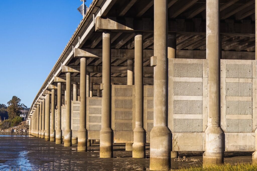
Preserving an island’s untamed nature demands that every navigated mile and paved kilometer separates human action from the destruction of fragile ecological balances.
Practical guide
How to get there: Main sea access is provided by Spirit of Tasmania ferry services, operating daily crossings between Geelong (Victoria) and Devonport (Tasmania). By air, the international airports of Hobart and Launceston receive regular flights from major Australian mainland cities.
When to visit: The austral summer months (December to February) offer the most stable weather conditions for driving and outdoor activities, though spring (September to November) stands out for blooming landscapes and lower visitor numbers.
Road planning: Driving in Tasmania requires caution due to winding secondary roads and frequent native wildlife presence at dawn and dusk. Renting vehicles equipped with extended gravel-damage insurance coverage is essential.
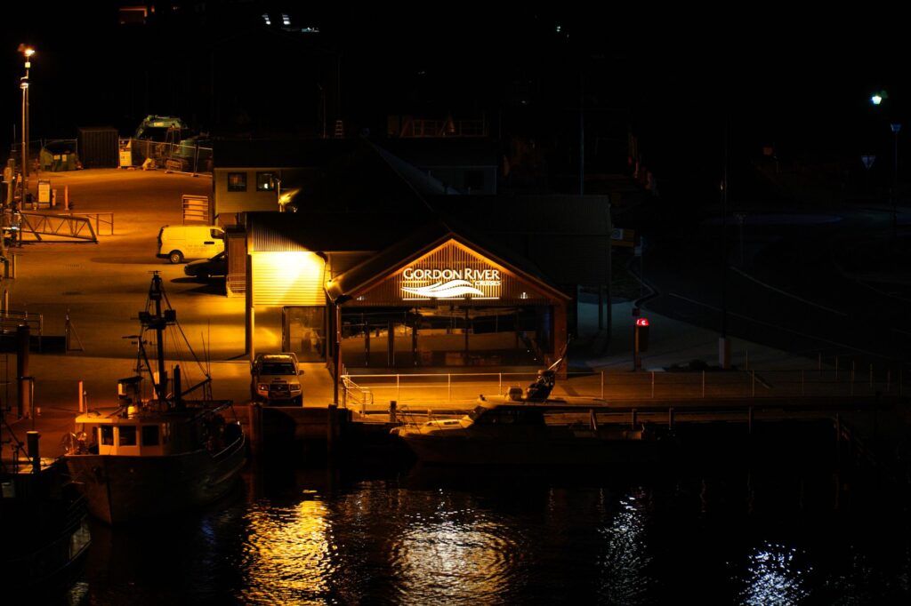
Intermodal connectivity: Tassielink bus networks connect major towns and points of interest, but renting a private vehicle is strongly recommended to access remoter national parks and isolated coastal zones.
Biosecurity regulations: Tasmania enforces strict quarantine laws to protect its endemic flora and fauna. Introducing certain fresh produce, seeds, and organic material from the Australian mainland through ports and airports is strictly prohibited.
The Liquid Horizon and the Traveler’s Memory
At the end of the journey, when Devonport’s coastal lights fade into the night horizon and the catamaran turns its bow northward to face the Bass Strait waters once again, a profound sense of wonder remains before the magnitude of human effort sustaining life in this insular outpost. It is not merely a matter of ships crossing the sea or highways carved into mountain rock; it is the realization that connectivity is the invisible thread weaving civilization in the most remote places on the planet. Tasmania remains there, defiant and beautiful, united with the rest of the world by the audacity of engineering and the unyielding will of those inhabiting its shores.