


Origins and Geography of an Insular Divide
The Strait of Canso has historically represented one of the most formidable geographical and logistical barriers on Canada’s Atlantic coast. This deep, narrow channel, roughly one kilometer wide and up to sixty meters deep, separates the mainland peninsula of Nova Scotia from Cape Breton Island. For centuries, the violent tidal currents surging between the Gulf of Saint Lawrence and the Atlantic Ocean transformed this waterway into a nearly impassable natural obstacle for continuous overland transit. Local communities, merchants, and early explorers depended entirely on wooden watercraft and, later, small steamers to cross from shore to shore, braving weather conditions frequently characterized by dense fogs and winter ice floes.
By the late nineteenth century, with the rapid expansion of the coal and steel industries on Cape Breton Island, the need for a reliable transport corridor became imperative. The mines in Sydney and the steel mills in Glace Bay required an unobstructed outlet to North American continental markets. Yet the existing infrastructure was incapable of supporting the heavy freight volumes demanded by the emerging industrial economy. Every freight car traveling north or south had to be uncoupled, maneuvered with millimeter precision, and winched onto the decks of rail ferries—a slow, costly process highly vulnerable to weather disruptions.
The operational complexity of this logistical nexus caught the attention of Dominion civil engineers in the early twentieth century. The strategic priority was not merely connecting two landmasses, but permanently integrating the insular economy with the continental railway network. Initial technical discussions ranged from the construction of a subsea tunnel to the erection of an unprecedented suspension bridge. However, the unique geological conditions of the seafloor, characterized by soft sediments and minor fault lines, quickly ruled out subterranean options and exponentially escalated estimated costs for any suspended structure.
The Transition to Steam and the Floating Railway
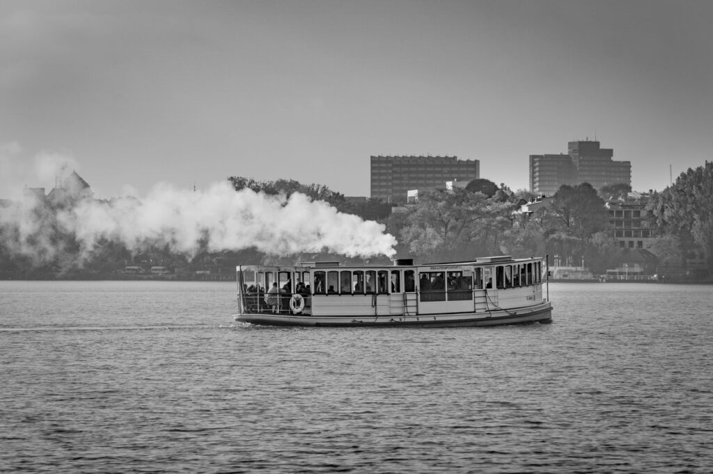
The turning point in the strait’s connectivity arrived in 1890 with the formal inauguration of the rail ferry service operated by the Intercolonial Railway. This pioneering system allowed entire trains to cross the Canso channel for the first time, albeit fragmented into manageable sections to fit vessel decks. The steamships Mulgrave and Scotia I, purposely built with iron structural reinforcements to withstand seasonal ice, became the economic heartbeat of the region. For decades, the constant back-and-forth of these vessels defined the daily rhythm of the port communities of Mulgrave and Point Tupper.

However, rail ferry operations were far from efficient against the exponential growth of industrial traffic. Loading and unloading procedures required flawless synchronization between tides—which exceed two meters of variance in this zone—and locomotive maneuvers on the piers. Delays were routine, and during harsh winters, drifting ice floes choked the slips, completely paralyzing the vital supply line feeding Cape Breton Island with essential goods and fuel.
The reliance on such a fragile floating system generated intense political and technical debate throughout the 1920s and 1930s. Regional leaders argued that intermittent isolation severely penalized the island’s industrial and tourism development. Despite preliminary studies proving the theoretical viability of a fixed link, budgetary constraints stemming from the Great Depression and, subsequently, the industrial demands of the Second World War indefinitely postponed any large-scale engineering solution.
The Strait of Canso ceased to be an insurmountable geological fracture when civil engineering imposed its will upon the Atlantic currents, transforming an isolated landmass into a natural continuation of the continent.
The Grand Civil Work: Construction of the Canso Causeway
The definitive solution to Cape Breton Island’s isolation began to take tangible shape in 1952, following government approval of a titanic project: the construction of a solid-rock causeway that would permanently block the channel between Main-à-Dieu and the mainland. The enterprise chosen to lead the project faced an unprecedented logistical challenge in the history of Canadian engineering. It required quarrying and transporting millions of tons of rock and fill material from local quarries to create a massive dike capable of withstanding the tremendous pressure of Atlantic tides and winter storms.

The construction process required dumping rock directly onto the seafloor along a fifteen-hundred-meter alignment, where depths reached sixty meters in certain spots. As the dike advanced across the waters, currents compressed into the remaining space, multiplying their velocity and vastly complicating the placement of the largest protective armor blocks. Engineers deployed specialized barges and heavy-lift cranes to drop multi-ton granite blocks acting as wave-breakers along flanks exposed to the open sea.
Officially inaugurated in August 1955 in the presence of federal and provincial authorities, the Canso Causeway physically integrated the national railway line and the primary highway network. The disappearance of the ferries marked the end of a romantic yet inefficient era for regional transport. Heavy freight trains and passenger convoys could, for the first time, roll uninterrupted from Halifax to Sydney, consolidating a continuous commercial corridor that revitalized the entire Nova Scotia provincial economy.
Current Infrastructure and the Maintenance of the Intermodal Corridor
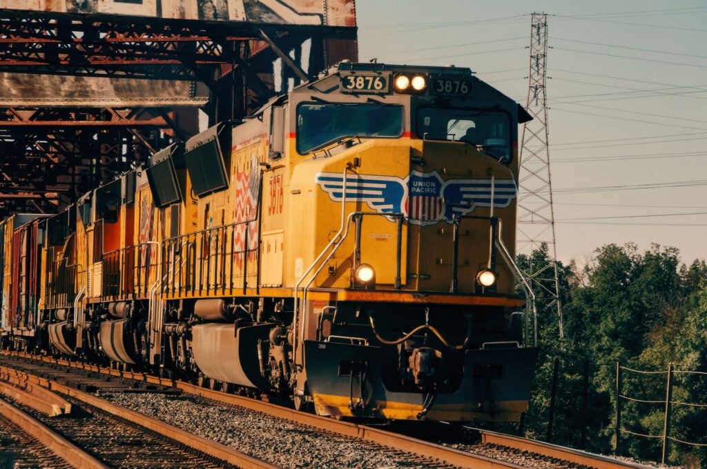
Today, the Canso Causeway supports mixed traffic composed of heavy transport vehicles, passenger cars, and freight rail services connecting northern industrial ports with the mainland. The structure is not merely an elevated highway; its lower and lateral platform carries the primary railway tracks that continue to operate under private logistics management, keeping alive the railway tradition that spurred its original construction over half a century ago.
Maintaining this critical infrastructure demands constant supervision by Nova Scotia transportation authorities. Direct exposure to fierce North Atlantic storms causes continuous erosion along the causeway’s slopes, necessitating periodic riprap replenishment and structural reinforcement operations. Likewise, the rail line requires regular ultrasonic inspections to detect rail fatigue caused by the relentless passage of freight trains hauling forestry products and industrial materials.
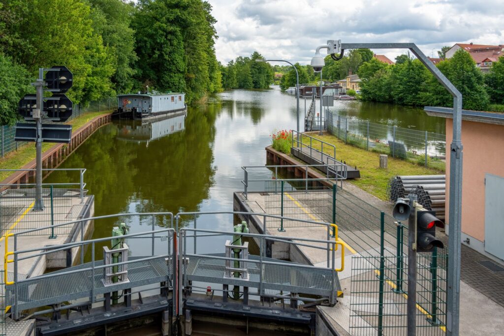
A key element in the strait’s contemporary operation is the inclusion of a navigational lock, known as the Canso Canal, situated at the northern end of the causeway. This maritime facility is strictly necessary to permit the continuous transit of fishing vessels, tugboats, and sailboats navigating between the Gulf of Saint Lawrence and the Atlantic Ocean without circumnavigating Cape Breton Island. Coordinated management between road traffic, rail, and maritime navigation makes this point a fascinating example of modern intermodal synchronization.
Economic and Demographic Impact on Cape Breton Island
The opening of the Canso Causeway fundamentally transformed the demographics and economy of Cape Breton Island, facilitating the inbound flow of raw materials and drastically lowering distribution costs for local industries. However, this same corridor facilitating trade also accelerated economic centralization, allowing many residents to commute more easily toward mainland urban centers in search of employment opportunities, altering the population balance of traditional rural communities.
In the tourism sector, the causeway acts as a psychological and physical threshold to one of North America’s most celebrated destinations: the Cabot Trail. Travelers crossing the structure experience an immediate transition from the agricultural lowlands of Nova Scotia into the dramatic mountain and coastal landscapes of the island. This steady influx of visitors has driven the modernization of secondary transport connections, integrating long-distance coaches and car rental services operating in perfect harmony with rail and air arrivals.
The long-term sustainability of this connection remains a subject of study in academic and civil engineering circles. With projected sea-level rise and the increased frequency of extreme weather events associated with climate change, engineers constantly evaluate the need to raise the causeway’s protective elevation and modernize drainage systems. Ensuring the resilience of this umbilical cord is an absolute priority to prevent total disconnection for a region critically dependent on this passage for its economic survival.
Practical guide
How to get there: Primary access to the Canso Causeway is via the Trans-Canada Highway (Route 104) from the mainland of Nova Scotia, connecting directly to Route 105 toward Cape Breton Island.
Rail transport: Freight services operate regularly through the corridor managed by private operators, connecting industrial installations in Sydney with the North American continental rail network.
Navigation and locks: The Canso Canal features an operational navigation lock for small craft and commercial vessels. Skippers must consult notices to mariners and seasonal opening hours managed by federal authorities.
Best time to visit: The summer and early autumn months (June through October) offer optimal weather conditions for touring the region and observing intermodal traffic without winter ice restrictions.
The Echo of Steam and the Future of Atlantic Transport
Viewing the fluid traffic crossing the causeway at a steady pace today is the result of decades of technical triumph against the relentless fury of the North Atlantic. Those days when paddle steamers fought tidal currents while hauling heavy coal cars are now confined to the photographic archives of local museums. Today, the strait functions as a silent yet vital gear, a permanent reminder that geography, however hostile it may appear, can always be redefined by human ingenuity and the steadfastness of civil engineering.
As the region looks toward a future marked by energy transition and the need for greener, more efficient supply chains, the role of intermodal connections like the Strait of Canso acquires renewed relevance. The intelligent integration between land routes, freight rail transport, and regulated navigation demonstrates that true connectivity is not merely about shortening distances, but about building robust systems capable of withstanding the test of time and the uncertainties of global climate.


