Introduction to the Southern Maritime Highway
The southernmost extreme of South America presents one of the most complex geographical and logistical challenges on the planet. Between Puerto Montt and Puerto Williams, the Andes mountain range plunges directly into the Pacific Ocean, fragmenting the territory into thousands of islands, narrow channels, deep fjords, and impenetrable ice fields. In this vast geography where terrestrial routes are abruptly interrupted, connectivity relies entirely upon navigation. Far from being a mere recreational transit medium, the system of ferries and public connectivity vessels serves as the sole logistical backbone for supplying isolated settlements, transporting cargo vehicles, and enabling travelers to venture deep into the Patagonian wilderness.
Understanding the operational scale of this network requires examining a complex web of maritime routes regulated by government subsidies and operated by shipping companies that must contend with extreme weather conditions, unpredictable currents, and rigorous tides. Planning a journey across these channels permits no improvisation. Each crossing requires coordinating departure schedules bound to the strict windows imposed by Patagonian winds and the technical demands of vessels capable of carrying both passengers and heavy freight. This report examines the infrastructure, trunk routes, operators, and indispensable logistical protocols required to successfully traverse Chile’s southern fjord network.
The Evolution of Maritime Transport in Patagonia
Historically, navigation through the Patagonian channels was dominated by minor cabotage vessels, traditional Chilote lighters, and mixed steamers performing an essential territorial integration role. For decades, connectivity between the Los Lagos, Aysén, and Magallanes regions depended on sporadic voyages that could last for weeks. Transformation began to solidify with the implementation of public policies aimed at guaranteeing territorial continuity, establishing subsidized routes that obligate shipping companies to maintain regular frequencies throughout the year, regardless of seasonal commercial profitability.

This technical and legal evolution has facilitated the progressive incorporation of higher-draft vessels and advanced technology, known as roll-on/roll-off (ro-ro) ferries, specifically designed to withstand the heavy ocean swells of gulfs like the Gulf of Penas. The integration of these ships has not only facilitated international tourism flows but has also secured the supply of food, fuel, and construction materials for communities that would otherwise remain cut off during the southern winter months. Investment in port infrastructure, featuring ramps adapted to extreme tidal variations, has been the indispensable complement to modernize this system.

Trunk Routes and Connectivity Axes
The southern navigation system is divided into primary corridors that structure longitudinal and transverse displacement. The most heavily traveled and traditional axis connects Puerto Montt with Puerto Chacabuco in the Aysén Region, navigating through the Moraleda channels and the Guaitecas archipelago. This route operates as the main link for private vehicles and cargo trucks continuing their journey along the Carretera Austral. The vessels covering this route typically take between twenty-four and thirty hours, depending on weather conditions and intermediate calls at localities such as Chaitén or Melinka.
Further south, the technical challenge increases exponentially when facing the crossing of the Gulf of Penas, the most feared open-sea stretch for navigators heading toward Magallanes. To link Puerto Yungay or Caleta Tortel with Puerto Edén and Punta Arenas, vessels must hold ocean navigation certifications and advanced stabilization systems. This segment, operated primarily by Empresa de Transportes Marítimos Australis and state-subsidized public services, constitutes a multi-day voyage that reveals the true scale of the Patagonian fjords, where human presence is reduced to scientific stations, artisanal fishing posts, and the remote community of Puerto Edén, home to the last descendants of the Kawésqar culture.
Port Infrastructure and Transshipment Logistics
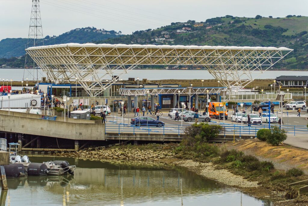
The efficiency of the Chilean fjord network critically depends on the land-based infrastructure supporting maritime operations. Ports such as Puerto Montt (Pelluco and Angelmó), Quellón, Chaitén, Puerto Raúl Marín Balmaceda, and Punta Arenas feature terminals designed for the safe transfer of passengers and rolling cargo. However, in the most remote points of the channels, infrastructure is reduced to concrete fiscal docks and basculant ramps capable of withstanding tidal amplitudes that frequently exceed six meters.
Navigating through the Patagonian channels is not a simple tourist excursion, but a complex logistical operation where extreme geography demands absolute respect for the rhythms of the sea and the authority of ship captains.
Coordination between terrestrial and maritime transport is one of the most delicate aspects of trip planning. Sections of the Carretera Austral interrupted by fjords—such as the crossing of the Comau Fjord or General Carrera Lake—operate via high-frequency ferries functioning as mobile bridges. For logistics operators and travelers alike, calculating waiting times at boarding ramps is essential, as peak-season demand often exceeds vessel hold capacities, generating queues that can last for hours or require reservations months in advance.
Operators, Vessels, and Service Classes
The navigation market in Chilean Patagonia consists of a mixed ecosystem of state and private operators. Naviera Austral and Skorpios are the most recognized names in the cargo, passenger, and expedition cruise segments. Commercial mixed vessels offer various accommodation categories, ranging from reclining seats for short journeys to private cabins with en-suite bathrooms for multi-day trips. It is important to note that these vessels prioritize operational functionality over commercial luxury, operating under strict standards set by the maritime authority (Directemar).
On the other hand, services subsidized by the Ministry of Transport and Telecommunications operate with regulated fares for residents, while national and international tourists access differentiated rates published on each shipping company’s official platforms. The digitalization of ticket sales has advanced notably, allowing advance online booking, though mandatory in-person baggage checks and verification of identification and vehicle documents remain mandatory hours before departure at port terminals.
Meteorology and Operational Windows on the Southern Coastline
Patagonian weather is proverbial for its instability and severity. Predominant westerly winds, known as the roaring forties or pampero gales descending from the mountains, can unpredictably suspend port operations. Dense fog, persistent squalls, and tidal currents in narrow passages like English Narrows or Del Desengaño Passage demand highly experienced crews and precision satellite navigation technology.

For the traveler, this translates into a golden rule: itinerary flexibility. Meteorological alerts issued by the Maritime Governorate carry legal force and mandate the delay or cancellation of sailings. Having a buffer margin of at least forty-eight hours in subsequent land connections is an indispensable precautionary measure to avoid missing flights or hotel reservations in urban connection hubs such as Balmaceda or Punta Arenas.
Onboard Gastronomy and Life at Sea
The experience of navigating for several days through the Patagonian fjords possesses a distinct rhythm that differs radically from conventional tourism. The common areas of ferries transform into meeting points where locals, truckers, researchers, and travelers share long hours of transit. Onboard cafeterias and dining rooms offer traditional preparations of southern Chilean cuisine, highlighting conger eel chowder, seafood empanadas, and stews crafted with local produce acquired at ports of call.
This digital isolation—since telephone and internet connectivity are virtually nonexistent across most channels—encourages deep immersion in the monumental scale of the southern territory.
Practical Planning and Recommendations for the Global Traveler
Organizing an autonomous journey through the Chilean fjord network requires logistical rigor akin to an expedition. The essential operational aspects to ensure a smooth and safe crossing are detailed below:
- Advance Vehicle Reservations: If traveling with a car, SUV, or camper, vehicle spaces on trunk routes (such as Puerto Montt – Puerto Chacabuco or Quellón – Melinka) must be booked three to six months in advance during the summer season (December to March).
- Documentation and Inspections: Vessels require the presentation of vehicle registration papers, third-party liability insurance valid in Chile, and, in some cases, phytosanitary control by the Agricultural and Livestock Service (SAG) to prevent pest introduction between isolated zones.
- Personal Equipment: Even in summer, temperatures on deck are low due to the southern wind. High-quality waterproof outerwear, windbreakers, trekking footwear with adhesive soles, and moisture-protection systems for electronic equipment are mandatory.
- Cash Provisions: Many minor localities and fjord coves lack automated teller machines or experience frequent electronic payment network failures due to unstable satellite connectivity. Traveling with sufficient local currency in cash is highly recommended.
- Assistance Insurance: Verify that your travel insurance policy covers emergency medical evacuation in extreme zones and maritime rescues, given that evacuation from certain points of the channels is only feasible via operations conducted by the Chilean Navy.
Visual Closing and Reflection on Territorial Integration
Chile’s southern navigation network represents much more than tourist infrastructure or a logistical transport corridor; it is living testimony to human persistence in the face of one of the most challenging geographies on the planet. Connecting the invisible threads of these insular and continental communities through the strength of naval engineering and the commitment of public transport ensures that deep Patagonia preserves its unalterable identity, offering the contemporary traveler the opportunity to contemplate a landscape where nature imposes its own unyielding rules.