The Fractured Geography of Chile’s Inland Sea
The Chiloé archipelago, located in southern Chile, represents one of the most complex maritime connectivity scenarios in South America. Separated from the mainland by the Chacao Channel, this insular territory is not a homogeneous landmass, but rather a labyrinth of minor islands, deep channels, and fjords where terrestrial road infrastructure meets its natural limit. Understanding how residents, goods, and travelers move across this region requires looking toward the water, where a heterogeneous fleet of ferries fulfills the role that asphalt and bridges play in other latitudes.
The history of mobility in this region has been shaped by absolute dependence on tides and the meteorological conditions of the southern Pacific. Unlike conventional land transport networks, the intermodal route to Chiloé and its subsequent dispersion toward the Guaitecas or the Lemuy archipelago relies on millimeter-level coordination among harbor masters, private operators, and strict state regulations for subsidized connectivity. Maritime transport here is not an occasional tourist attraction, but the vital pulse of the local economy, handling everything from fuel supplies to medical emergency transfers.
The Chacao Channel: The Bottleneck of Route 5
For any traveler attempting to access the Big Island of Chiloé from the north via Route 5, the first major logistical milestone is crossing the Chacao Channel. This arm of the sea, approximately two kilometers wide at its narrowest point, separates the mainland from the island through violently surging currents that can exceed nine knots. For decades, this journey has been carried out exclusively via ferries connecting Pargua with Punta Coronel and Chacao, a service operating twenty-four hours a day but subject to constant suspensions when northern gales lash the area.
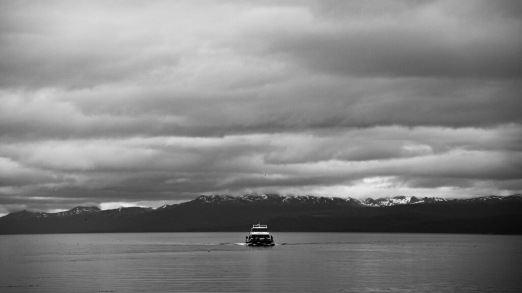
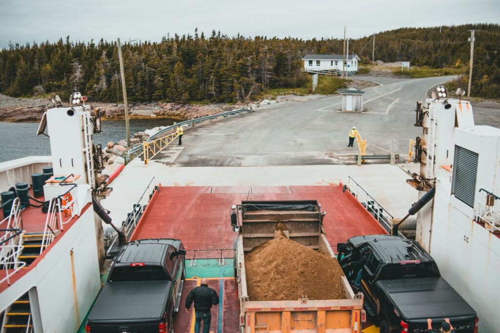
Operations in Chacao are an exercise in industrial precision. Roll-on/roll-off ferries simultaneously load heavy-duty trucks, intercity buses, and passenger cars in a matter of minutes. However, traffic accumulation during the peak summer season generates miles-long queues that test drivers’ patience.
The Chacao Channel is the ultimate litmus test for Chiloé’s logistics: a narrow strait where the ocean’s fury tests the patience of the mainland and the skill of its captains.
Port authorities oversee every departure using radar systems and direct communication with the Chilean Navy, issuing immediate restrictions at the slightest warning of a storm or poor visibility caused by fog banks.
Beyond the main channel, the interior connectivity of the archipelago depends on a secondary network of ferries linking Quellón with the Guaitecas Islands and the Chonos archipelago, as well as shorter routes between Dalcahue and Quinchao. Many of these routes are not commercially profitable for private shipping companies, operating instead under concession regimes subsidized by Chile’s Ministry of Transport and Telecommunications. These subsidies ensure that isolated communities are not cut off during winter months, when passenger traffic drops dramatically.
The vessels assigned to these routes range from double-hulled ships adapted for heavy freight transport to shallow-draft passenger ferries capable of docking at artisanal ramps. Safe navigation in these inland waters demands highly specialized crews, capable of maneuvering in tight spaces with strong crosscurrents and poor visibility conditions. Inspections by the General Directorate of Maritime Territory and Merchant Marine (Direcmar) are rigorous and decisive in authorizing daily departures.
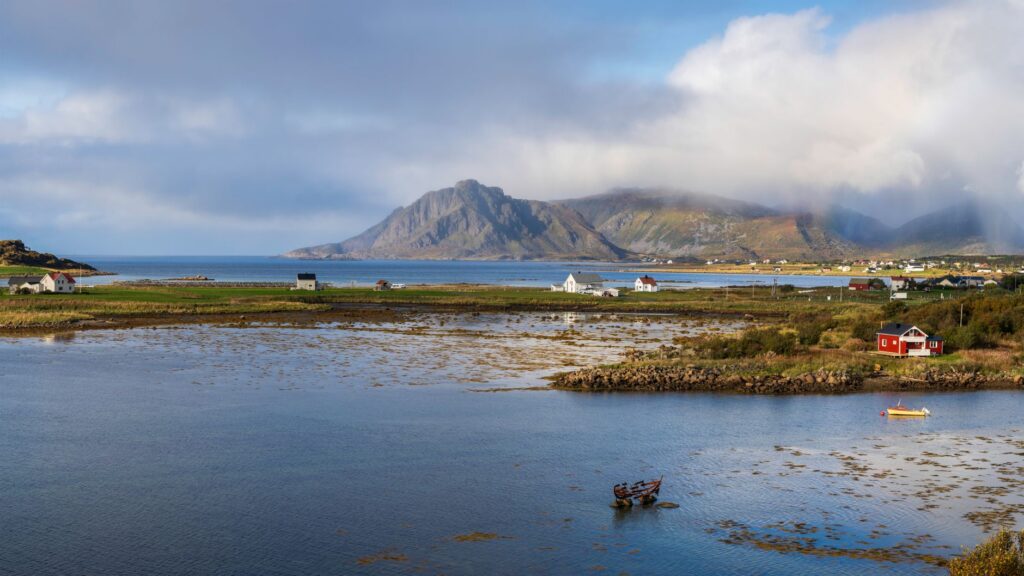
The Impact of the Aquaculture Industry on Insular Logistics
The configuration of transport in Chiloé cannot be understood without considering its primary economic engine: salmon farming and mussel aquaculture. Trucks carrying fish feed, liquid oxygen tankers, and refrigerated cargo vehicles share space on the ferries alongside tourists’ cars and local buses. This constant heavy traffic accelerates the wear and tear of boarding ramps and demands ongoing optimization of sailing schedules.
Shipping companies must balance industrial demand with public service for inhabitants of the minor islands. Occasionally, cargo priority assigned to productive supplies displaces available space for private vehicles, forcing travel planners to book weeks in advance or adjust itineraries according to dead tides. This logistical ecosystem demonstrates how transport infrastructure in Chiloé responds to a dual pressure: the subsistence of its residents and the demands of a global supply chain.
Intermodal Alternatives: Buses and Minor Ferries
For travelers without personal vehicles, the public transport network in Chiloé operates through an integrated combination of intercity buses and passenger ferries locally known as connectivity launches. Departing from terminals in cities like Ancud, Castro, or Quellón, bus lines drive directly onto the lower decks of specific ferries to bypass minor channels, allowing passengers to complete the entire journey without disembarking.

This intermodal system requires punctuality and knowledge of tide schedules, which dictate unforeseen variations in itineraries. Flexibility is the essential requirement for any journey within Chiloé’s inland sea, where a fifteen-minute delay can mean missing the last connection of the day to islands like Quehui or Caguach. Fluvial terminals and wooden piers serve as social gathering points where information about weather conditions is shared by word of mouth among captains, locals, and visitors.
Port Infrastructure and Modernization Challenges
The docking ramps on both sides of the Chiloé channels have been the subject of ongoing public investments to support the sustained growth of the vehicle fleet. Traditionally built of wood or stone, many of these structures have been replaced by reinforced concrete platforms and hydraulic systems capable of adjusting to the drastic water level changes caused by tides, which can vary by up to six meters between high and low tide.
Despite these advancements, minor port infrastructure still faces significant bottlenecks during peak season. The lack of paved waiting areas and insufficient sanitary facilities in peripheral boarding piers highlight how the growth of special-interest tourism has outpaced the original carrying capacity of the docks. Naval and civil engineers are working on designing new basins protected against prevailing westerly winds to mitigate sail cancellations that paralyze the local economy during winter storms.
Planning and Operational Tips for Travelers
Traveling across Chiloé’s ferry network requires rigorous logistical planning that differs radically from driving on continental highways. First, it is essential to consult the meteorological bulletins issued by the Chilean Navy before undertaking long trips to peripheral insular areas. The mobile applications of major shipping companies operating in the Chacao Channel and minor channels offer real-time updates on space availability and potential weight restrictions for vehicles.
It is strongly recommended to purchase tickets in advance during the summer season (December to March) and arrive at boarding points at least forty-five minutes before scheduled departure times.
Improvisation on Chiloé’s maritime routes usually translates into hours of unnecessary waiting exposed to the elements; the intelligent traveler synchronizes their watch with the tides and the harbormaster’s bulletins.
Additionally, carrying cash is advisable, as some minor ramps on the interior islands lack network connectivity for bank card payments or electronic systems.
The Nautical Horizon: The Future of Chiloé’s Connectivity
Chiloé’s transport system finds itself at a historical crossroads. While the debate over the feasibility of building a suspension bridge over the Chacao Channel continues to generate technical and environmental discussions, insular communities look toward strengthening their maritime fleet as the only real, decentralized guarantee of mobility. The integration of hybrid-propulsion vessels and the digitalization of departure permits aim to modernize a sector that has maintained its artisanal essence for centuries.

Ultimately, navigating Chiloé’s labyrinth transcends mere physical displacement; it is an immersion in a culture shaped by resistance to water and wind. The archipelago’s future will depend on its ability to balance the demands of a globalized economy with respect for the natural rhythms of an inland sea that tolerates no shortcuts or artificial urgencies.
Practical Information for Navigation in Chiloé
Main routes and operating frequencies:
- Chacao Channel Crossing (Pargua – Chacao): Continuous 24/7 operation, with departures every 15-30 minutes depending on demand and weather conditions dictated by the Harbor Master.
- Dalcahue – Quinchao Route: Continuous ferries from 06:00 to 22:00 hours, with emergency nighttime services available for medical needs or force majeure.
- Quellón – Guaitecas Connectivity: Regular services three times a week operated by larger vessels with capacity for heavy cargo and berth passengers.
Safety recommendations and equipment:
- Always verify port status via the official website of the Maritime Governorate before embarking on long trips to minor islands.
- Always carry waterproof warm clothing and basic food and water provisions, as waiting areas on land frequently lack commercial shops.
- Strictly follow vehicle positioning instructions given by crew members during boarding and disembarking at tidal ramps.