

Introduction to Norway’s Water Highway
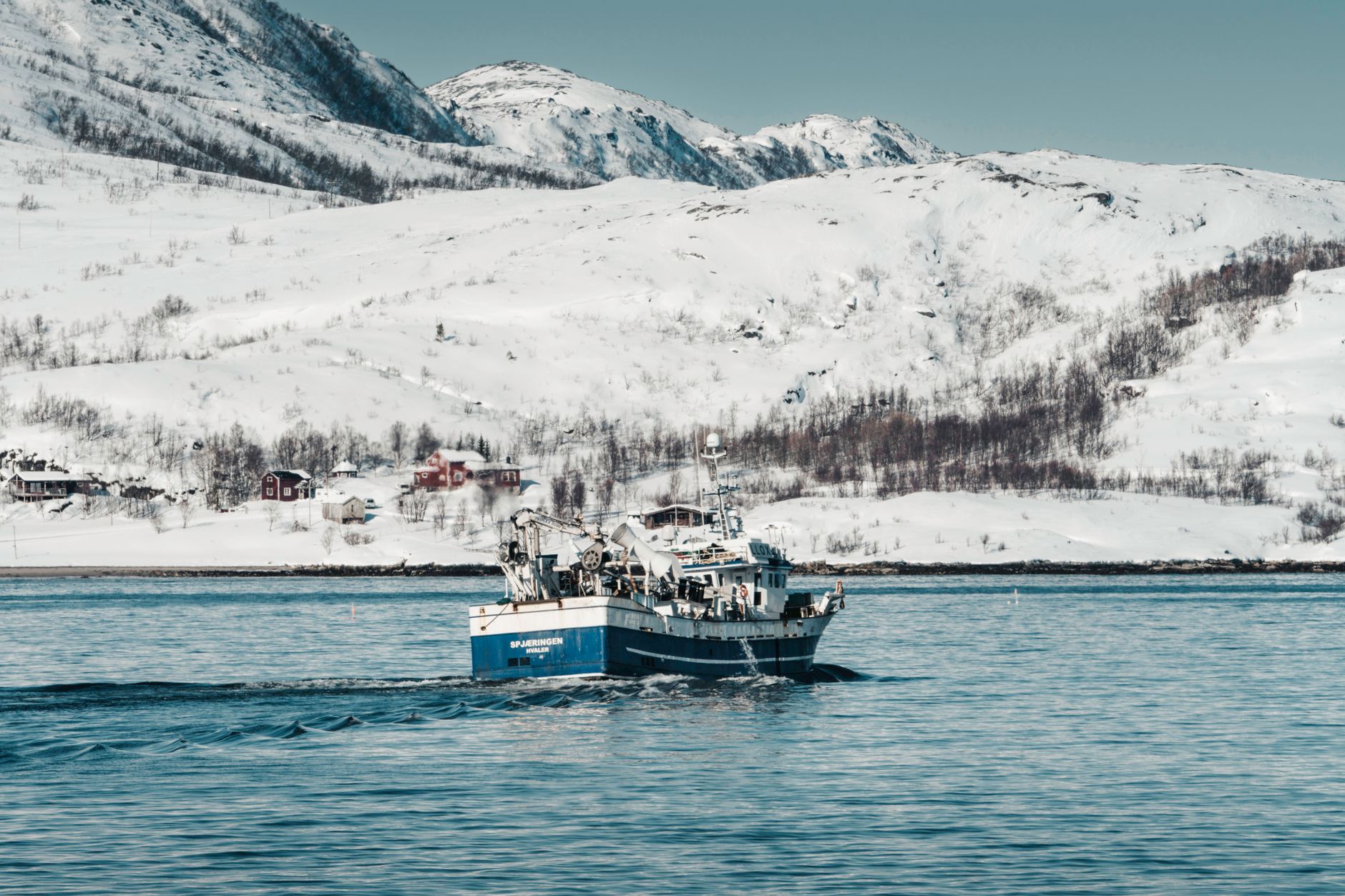
Across the more than twenty-five hundred kilometers separating the western port of Bergen from the border enclave of Kirkenes, Norway’s coastline is not merely a geographical feature, but an intricate communication network where the ocean serves as the only truly passable route. Since the late nineteenth century, the Hurtigruten company—popularly known as the Coastal Express—has operated as the umbilical cord for dozens of communities isolated by an abrupt relief of deep fjords, frozen plateaus, and impassable mountain ranges. Far from constituting a purely touristic product conceived for summer leisure, this mixed navigation service maintains an unyielding dual nature: it functions simultaneously as an essential public transport line for local passengers, a logistical artery for heavy freight and mail delivery, and an observation platform for contemporary travelers seeking to understand Scandinavian geography from its most authentic and functional perspective.
The Historical Evolution of the Coastal Line
To comprehend the magnitude of this maritime route, it is imperative to look back to 1893, when Captain Richard With inaugurated the commercial route connecting Trondheim to Hammerfest, drastically reducing a winter isolation that historically lasted for months. Until then, northern navigation depended on extremely adverse weather conditions and rudimentary vessels incapable of maintaining reliable schedules. The introduction of mail ships capable of operating year-round transformed the economy of Arctic Norway, enabling the development of the fishing industry, the export of fresh fish to European markets, and the administrative integration of remote regions such as Finnmark. Over the decades, the fleet has evolved from classic coal-fired steamers to modern hybrid vessels capable of alternating diesel propulsion with high-capacity battery systems and, in the near future, green ammonia and hydrogen fuel cells, consolidating a radical commitment to maritime transport decarbonization in ecologically sensitive areas.
Naval Engineering and Logistics on the Open Sea
The modern fleet of the coastal service represents a marvel of naval architecture adapted to the extreme conditions of the North Atlantic and the Barents Sea. Unlike conventional large-draft cruise ships, these vessels are designed with a reinforced hull capable of impacting small floating ice blocks and equipped with powerful transverse thrusters allowing them to maneuver with absolute precision in tiny harbors lacking tugboats or complex port infrastructure. The lower cargo holds house everything from utility cars and construction machinery to pallets of perishable food and medical supplies destined for island dispensaries. Loading operations are executed with rigorous punctuality, often in the middle of the night, turning nighttime stops into a synchronized ballet of hydraulic cranes, local dockworkers, and passengers boarding and disembarking with the naturalness of someone using the sea as a daily commuter bus.
The coastal ship is not a floating luxury cruise ship seeking artificial entertainment; it is the floating backbone of a country where solid ground is frequently an insurmountable obstacle.
From Bergen to Alesund: Gateways to the Atlantic
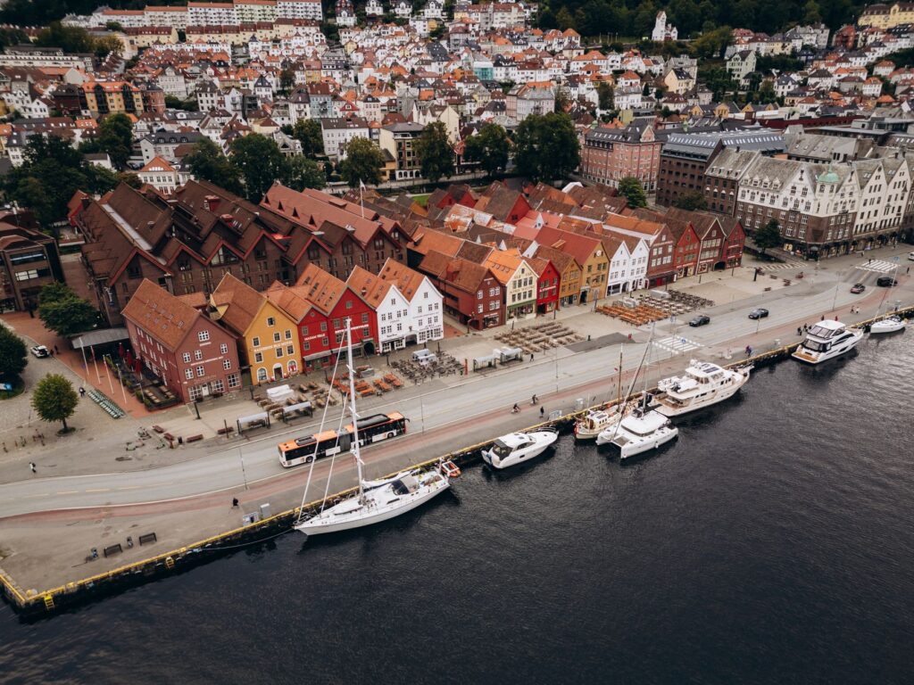
The journey begins in the historic port of Bergen, specifically at the Jektevik pier, where passengers mingle with locals loading personal belongings and cargo. Upon setting sail, the vessel weaves through the western archipelago before heading out into the open sea to cross the feared and fascinating Stadhavet area, an oceanic stretch where deep currents and gale-force winds from the North Sea converge. Having cleared this geographical milestone, the ship arrives in Alesund, a city rebuilt almost entirely under the canons of the Art Nouveau style following the devastating fire of 1904. Here, the stopover allows visitors to see how urban architecture directly dialogues with the marine topography, with canals penetrating the urban fabric and fish warehouses converted into cultural centers and artisan workshops dedicated to preserving Norway’s maritime heritage.

Glacial Geography and Fjord Navigation
As the route advances northward, the landscape undergoes a radical mutation. Passing through the Geiranger and Hjørund fjords—when seasonal conditions and route variants permit—reveals basalt rock walls rising vertically more than a thousand meters above sea level, crowned by historic waterfalls such as the Seven Sisters. Navigation demands extraordinary technical skill from the captain and bridge officers, who must deal with unpredictable tidal currents, sudden fog banks, and extreme barometric variations. On board, passengers attend specialized lectures given by coastal experts on marine biology, Sami history, and glacial geography, transforming the voyage into an immersive educational experience that transcends the mere physical displacement from one point on the map to another.
Trondheim and the Historical Heart of the Kingdom
The stopover in Trondheim marks the arrival at Norway’s ancient medieval capital, a strategic enclave where the Nidelva River flows into the fjord of the same name. The historic pier welcomes the vessel near the old wooden pile warehouses flanking the river channel. During the multi-hour stop, travelers and crew have sufficient time to tour the imposing Nidaros Cathedral, the northernmost Gothic sanctuary in the world and the historic destination of medieval pilgrims crossing Europe on foot or horseback. This port perfectly illustrates the symbiosis between modern maritime traffic and the preservation of historical heritage, as goods continue to be used to supply local shops in the old town, keeping alive the commercial pulse that gave birth to the city in 997 AD.
The Arctic Circle: An Invisible Frontier
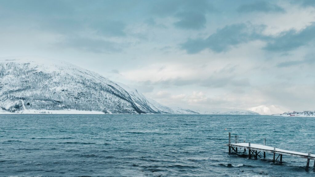
One of the culminating moments of the journey occurs upon crossing the imaginary line of the Arctic Circle, located at latitude 66°33′ N, near the islet of Villarøya. On board, this event is celebrated with a solemn yet relaxed marine ritual presided over by the symbolic figure of Arctic Neptune. From this point onward, the laws of nature undergo a radical transformation: during the summer months, passengers experience the phenomenon of the midnight sun, with twenty-four hours of continuous light bathing the rock formations of the Lofoten and Vesterålen islands in iridescent golden and mauve tones; conversely, winter weeks plunge the journey into perpetual darkness illuminated solely by the mystical glow of the Northern Lights, which snake across the decks in curtains of green and violet light.
Lofoten and Vesterålen: Granite Walls in the Ocean
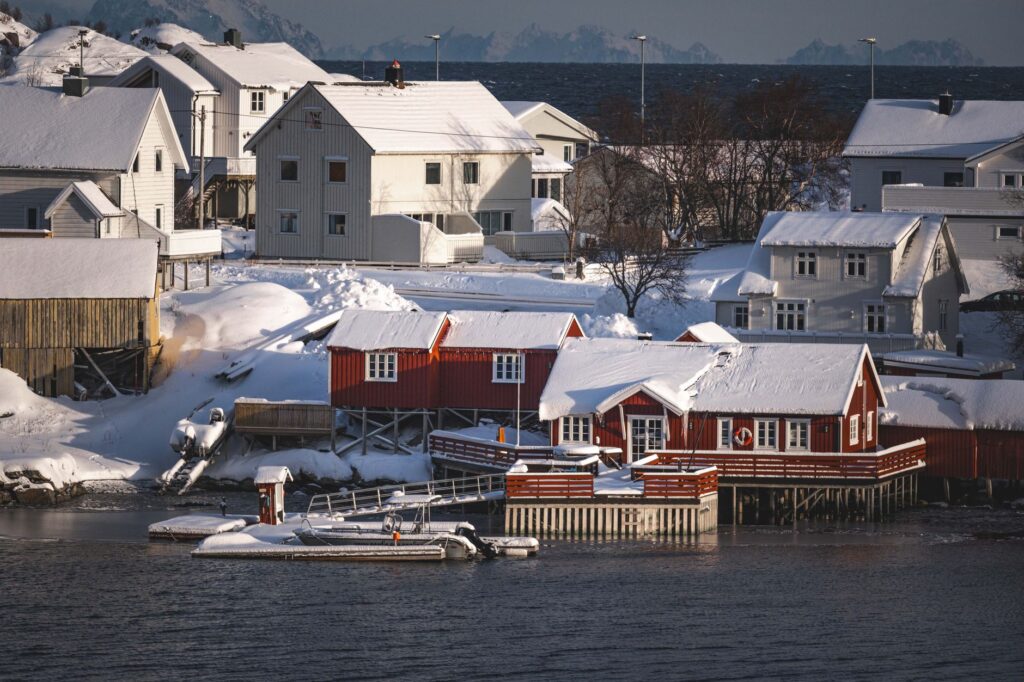
The stretch running past the Lofoten and Vesterålen islands constitutes one of the most breathtaking landscape vistas on the planet. The sharp peaks of the so-called “Lofoten Wall” emerge directly from the dark waters of the Norwegian Sea, protecting picturesque fishing villages such as Svolvær and Stamsund, whose traditional wooden pile cabins (rorbu) recall a centuries-old past tied to mass Arctic cod fishing. At these ports of call, logistical exchange takes on special relevance: containers of fresh fish, aquaculture equipment, and official mail are transferred with pinpoint speed as local fishermen prepare their nets for the next tide, offering observers a privileged window into the archipelago’s real economy beyond tourist postcards.
Traveling northward through these latitudes is not an exercise in speed, but a lesson in humility before the immensity of a nature that imposes its own rules and calendars.
Tromsø and the Gateway to the Great North
Historically known as the “Gateway to the Arctic,” the city of Tromsø rises on an island connected to the mainland by an elegant suspension bridge and an underwater tunnel. Its bustling harbor welcomes the coastal vessel in an environment where urban modernity coexists with the legacy of the great polar expeditions of legendary explorers such as Fridtjof Nansen and Roald Amundsen. The stopover here allows visitors to tour the Polar Museum and the Arctic Cathedral, an architectural avant-garde temple inspired by the geometric shapes of floating ice. From a transportation perspective, Tromsø acts as the grand logistical distribution hub for the entire Norwegian far north, connecting maritime traffic with regional air routes and land highways ascending toward the Finnmark plateau.

End of the Line: Kirkenes and the Eastern Frontier
After bypassing the remote coasts of Hammerfest—continental Europe’s northernmost city—and rounding the North Cape from the sea, the route undertakes its final stretch entering the Varangerfjord. The waters become calmer yet laden with a profound geological melancholy, featuring barren tundra landscapes that contrast with colorful fishing villages of Kven and Sami origin. Finally, the ship docks in Kirkenes, located just a few kilometers from the Russian border. This final port symbolizes the close of a navigation cycle where distance and climate have ceased to be barriers and have become the very fabric uniting scattered communities. Here, passengers who have completed the full journey disembark with the certainty of having witnessed not only a unique visual spectacle, but the flawless operation of one of the most complex and resilient public transport lines on the planet.
Practical Information for the Traveler
Route Planning: The complete round trip from Bergen to Kirkenes takes twelve days, though it is entirely feasible to book partial segments depending on specific interests in regions such as the western fjords or the Lofoten archipelago. Fares and Ticket Options: There are two main types of fares: point-to-point passenger tickets (ideal for locals and travelers wishing to use the ship as a flexible means of transport) and complete travel packages with full board and an assigned cabin. Recommended Equipment: Given that the Arctic climate can change drastically within hours, utilizing the technical layering system for clothing is essential, including high-end windproof and waterproof jackets, footwear with slip-resistant soles for the deck, and quality binoculars for observing marine fauna and coastal birds.

