
Introduction to the Labyrinth of Fjords and Atlantic Currents
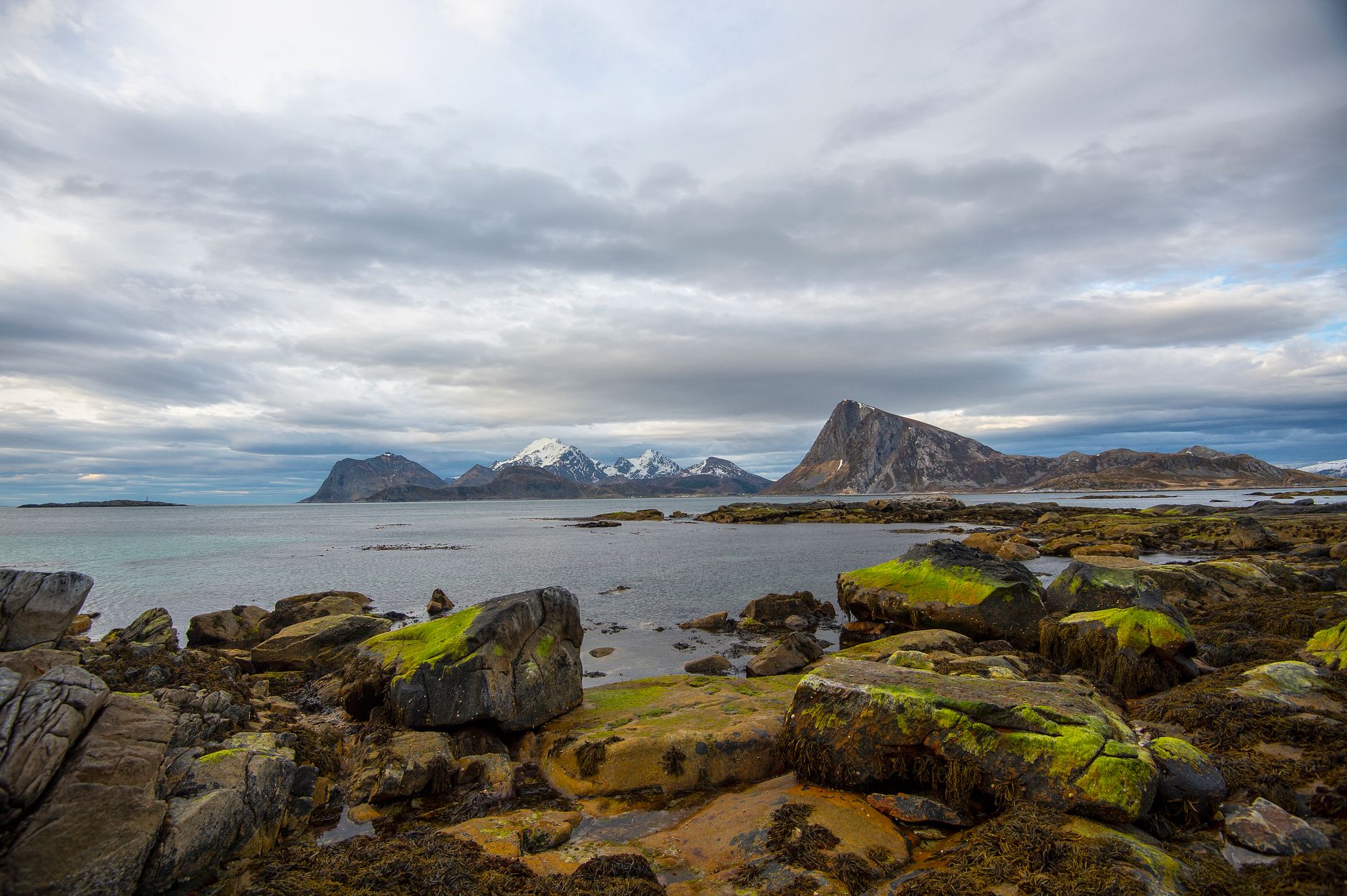
The Lofoten archipelago, located north of the Arctic Circle in Norway, represents one of the most geographically complex and visually striking landscapes on the planet. With its alpine peaks plunging vertically into the waters of the Norwegian Sea, this insular territory has historically relied on navigation to overcome the barriers of a rugged terrain. Far from being a mere recreational asset, maritime connectivity constitutes the vital artery that sustains the local economy, heavy freight transport, and the daily mobility of its inhabitants. The intricate network of ferries, high-speed passenger boats, and coastal cargo vessels forms an intermodal system meticulously synchronized with the continental road network.
Understanding the magnitude of this infrastructure requires examining the underwater topography and the extreme weather conditions that lash the region for much of the year. Western gale-force winds, extreme tidal currents in channels such as the celebrated Moskenstraumen, and the scarcity of sunlight during the arctic winter impose titanic challenges on crews and naval architecture. Through this report, we will analyze how maritime transport in Lofoten is planned, financed, and operated, evaluating its role in the transition toward low-emission fleets and its impact on the territorial cohesion of traditional fishing communities.
The Historical Evolution of Cabotage Routes in Northern Norway
For centuries, transport in northern Norway was dominated by traditional wooden boats known as nordlandsbåt, specifically designed to harness local currents and winds in the Arctic cod fishery. It was not until the second half of the 19th century that the consolidation of stable postal and passenger lines began to weave a predictable network of connections between the islands and major mainland ports such as Bodø and Narvik. This transformation spurred permanent settlement on remote islands, where arable land is scarce and access to the sea represents the only means of subsistence.

With the arrival of industrialization and the introduction of the first metal-hulled steamships, Norwegian cabotage assumed a structured character. Commercial routes progressively evolved into public service lines financed by the central state. This model ensured that even the most isolated enclaves received a regular supply of food, fuel, and building materials, laying the foundations of the modern Norwegian welfare state applied to Europe’s most demanding insular geography.
Port Infrastructure: Docks, Terminals, and Adaptation to the Environment
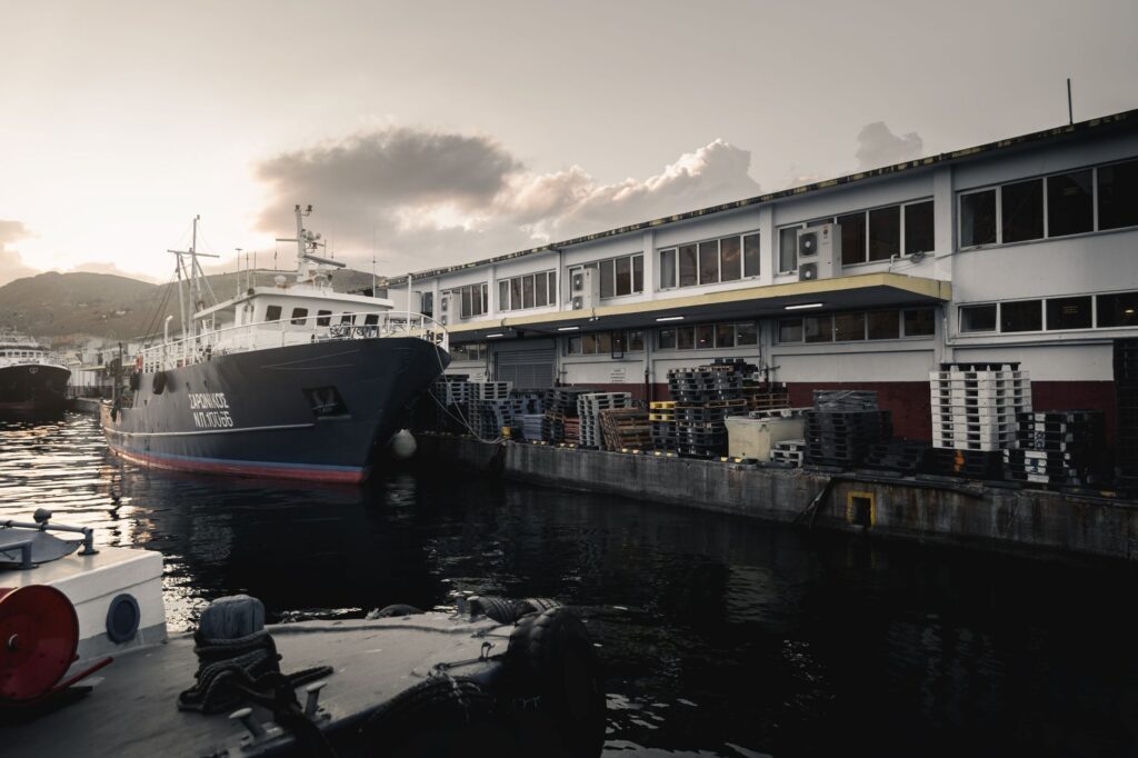
The backbone of maritime connectivity in Lofoten rests upon a network of ports and land infrastructure adapted to large tidal ranges and the harshness of Atlantic swells. Ports such as Moskenes, Svolvær, and Reine are not merely docking basins; they function as integrated logistical hubs where heavy trucks, private vehicles, and passengers converge. Ferry ramps (known locally as ferjekai) have undergone successive engineering redesigns to withstand the weight of tanker trucks and fresh fish transport vehicles, the area’s primary export.
The modernization of these facilities includes the installation of automated mooring systems and telescopic gangways adapted for passengers with reduced mobility, a significant advancement in regions where weather hampers outdoor manual operations. Likewise, continuous dredging of approach channels is a mandatory task to maintain safe drafts against sediment accumulation swept in by violent winter storms.

Port infrastructure within the Arctic Circle is not merely concrete and steel; it is the invisible guarantee that human and economic life continues to flow when solid land turns into an impassable labyrinth of rock and water.
The Intermodal Model: The Symbiosis Between Roads and Ferries
The transport network in Lofoten operates under the concept of intermodal hubs, where the E10 highway—known as King Olaf’s Road—acts as the longitudinal axis traversing the archipelago from southwest to northeast, strategically interrupted by mandatory navigation segments. The most critical maritime crossing connects Moskenes to Bodø, a journey of approximately three and a half hours crossing the Vestfjorden, a body of water renowned for rough seas and volatile weather conditions.
Coordination between regional bus timetables and ferry arrivals is managed through digital platforms centralized by the transport authorities of Nordland county. This millimetric synchronization allows travelers and commercial transporters to move seamlessly between the continental railway system in Bodø and the most remote communities of the outer islands like Å or Reine, optimizing delivery times and reducing logistical costs.

Energy Transition and Fleet Electrification
Over the past decade, maritime transport in Norway has undergone an unprecedented technological revolution driven by stringent national environmental regulations. The Lofoten archipelago and its mainland connections have pioneered the introduction of ferries powered entirely by electric batteries or via hybrid systems combining liquefied petroleum gas (GLP) and electric energy. These vessels drastically reduce carbon dioxide emissions and completely eliminate noise and vibrations at ports of call.
The primary technical challenge lies in power supply across insular ports, many of which feature local electrical grids of limited capacity. To solve this drawback, large land-based battery banks have been installed to charge slowly and continuously, releasing high-power bursts to recharge vessels during the brief fifteen-minute boarding and disembarking operations. This innovation demonstrates how applied engineering can solve complex problems in isolated geographic environments.
Socioeconomic Impact on Fishing Communities
For Lofoten residents, the frequency and reliability of ferry services determine the viability of permanent island residency. The fishing industry, based on the global export of skrei (migratory cod), depends absolutely on the punctuality of cargo vessels to dispatch fresh product to European markets within hours. Any prolonged service interruption caused by severe gales generates substantial economic losses and temporarily isolates entire towns.
Beyond the fishing sector, low-impact tourism and retail trade rely on this infrastructure. Small local businesses receive daily supplies thanks to the high cargo capacity of modern ferries, preventing secondary road congestion during the summer months. However, balancing heavy commercial traffic with the influx of tourist motorhomes requires rigorous management of onboard space reservations during peak season.
Operational Challenges: Extreme Weather and Navigational Safety
Navigating the waters of the Norwegian Sea requires extremely strict safety protocols. Ferry captains and high-speed boat commanders regularly face gale-force winds, waves exceeding six meters in height, and visibility reduced by snow squalls or dense summer fogs. Modern wheelhouses are equipped with advanced radar systems, high-precision satellite positioning, and infrared cameras to detect floating ice or drifting obstacles.
Norwegian maritime authorities (Sjøfartsdirektoratet) enforce continuous audits on concessionary shipping lines, requiring frequent safety drills and rigorous maintenance of life-saving equipment. Despite automation, human experience remains an irreplaceable factor: local pilots and commanders possess intimate knowledge of local winds and secondary currents that no cartographic software can fully replicate.
Practical Information for Travelers and Logistics Professionals
Planning a trip or freight shipment across Lofoten’s maritime routes requires understanding several fundamental operational parameters:
- Advance Reservations: On major routes like Bodø-Moskenes, vehicle space reservations are strictly mandatory weeks in advance during peak season (June to August).
- Fares and Payment Systems: Toll collection is handled through the automated Autopass for Ferry system, which offers significant discounts for registered vehicles and simplifies pier clearance.
- Weather Cancellations: Weather alerts are frequent between October and April; consulting real-time panels from the Torghatten Nord shipping line is advised before starting any road journey toward the docks.
- Passenger Connectivity: High-speed passenger boats (hurtigbåt) operate independently from vehicle ferries, offering faster connections but with strict limits on permitted luggage volume.
Visual Closing over the Norwegian Sea
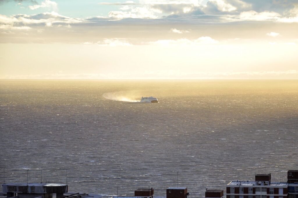
The maritime transport system in the Lofoten archipelago transcends the mere technical function of moving people and goods from point A to point B. It is the tangible manifestation of human adaptability in the face of an unforgiving and magnificent natural environment. As fleets advance toward total electrification and operational digitization, these routes demonstrate that maintaining a remote insular economy while respecting the delicate balances of the arctic ecosystem is entirely possible. On the horizon of the Vestfjorden, the white wake of a silent ferry continues to trace the invisible thread uniting civilization with the vastness of the north.
Navigating among the snowy peaks of Lofoten under the oblique light of the midnight sun reveals the true dimension of human effort: connecting distant islands not merely with ships, but with the unwavering will to belong to the territory.