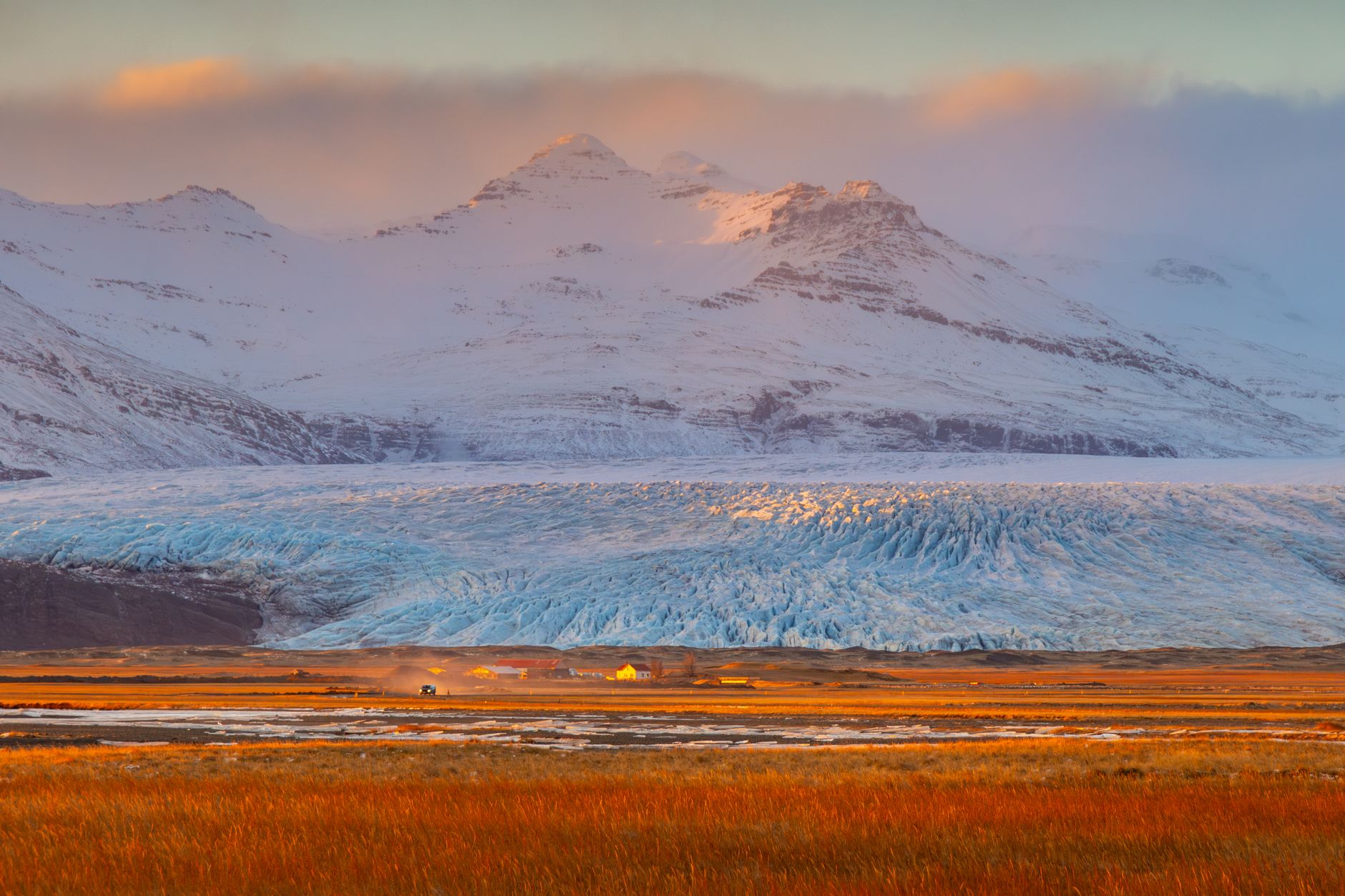

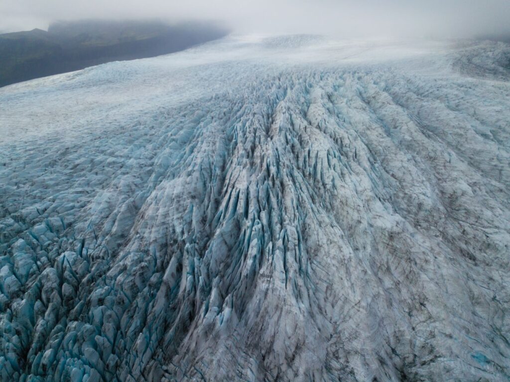
Crossing the vast expanse of Vatnajökull is far more than a demanding trek; it is a complete immersion into the polar dynamics of the North Atlantic. Covering approximately 7,700 square kilometers with an average ice thickness exceeding 400 meters, this ice cap not only dominates southeastern Iceland but also acts as a living laboratory for the interaction between subglacial volcanism and global climate change. Embarking on a traverse of this scale requires moving beyond romantic notions of exploration and mastering the discipline of unsupported expedition planning.
Traditional access to the upper ice cap typically begins at the margins of Skálafellsjökull or Tungnaárjökull, depending on seasonal snowpack conditions and elevation. As glacier margins retreat due to rising global average temperatures, historical entry points are changing rapidly, forcing expedition teams to re-evaluate entry points and emergency evacuation routes year after year.
Living Geology and Subglacial Volcanism
Vatnajökull sits atop one of the most tectonically and volcanically active zones on Earth. Beneath its thick mantle of ice lie several active volcanic systems, including Grímsvötn, Bárðarbunga, and Öræfajökull. This coexistence of fire and ice triggers massive hydrological events known locally as jökulhlaups—catastrophic glacial outburst floods caused by geothermal melting at the base of the ice cap.

Understanding the underlying geological structure is a fundamental pillar of route safety. Continuous geothermal heat alters the mechanical properties of the ice, creating collapse zones, subglacial canyons, and submerged calderas that do not always appear on high-resolution satellite imagery. A thorough knowledge of local volcanology is as essential to survival on Vatnajökull as proficiency in crevasse rescue techniques.
Logistical Planning and Seasonal Windows
The optimal window for a full west-to-east or south-to-north traverse is concentrated between April and May. During this transition period between the boreal winter and the Northern Hemisphere summer, the accumulated snowpack generally provides a continuous cover over peripheral crevasses, while daylight hours expand significantly, allowing for extended daily marches.
Attempting the crossing during mid-summer months (July and August) exposes expeditions to rapid loss of seasonal snow cover, revealing exposed, slippery dark-blue glacier ice and numerous surface meltwater streams (moulins and slush fields) that drastically slow progress and increase terrain hazards.
- April to May: Stable winter conditions, optimal snowpack for pulks, good visibility, and extended daylight.
- June: Rapid transition period; softening snow and increased risk of snowbridge collapse.
- July to August: Exposed blue ice, wide open crevasse fields, active surface drainage; not recommended for full pulk traverses.
- September to March: Severe polar storms, near-total absence of effective daylight, and extreme temperature drops.
Technical Gear and Hauling Systems
Traversing Vatnajökull is standardly accomplished using hauling sleds or pulks, as individual equipment weight for an 8 to 12-day unsupported crossing ranges between 35 and 50 kilograms. Carrying this load on one’s back over dozens of kilometers on backcountry skis would cause severe muscle exhaustion and excessive sinking into soft snow layers.
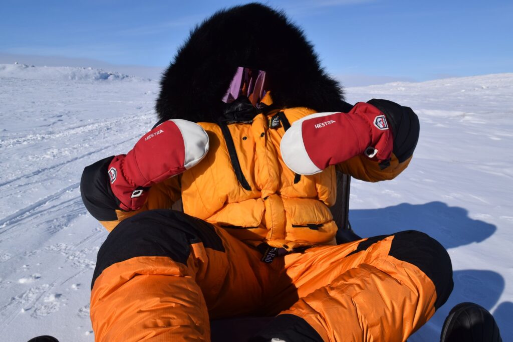
Essential technical gear includes full metal-edge expedition skis, spare climbing skins, a low-profile harness, steel crampons fitted for ski boots, lightweight technical ice axes, and a complete set of ice screws of varying lengths for rescue anchors. Redundancy in satellite communication devices and GPS navigation represents the only real safeguard when severe snowstorms completely obliterate the horizon.
The ice cap does not demand heroism; it demands methodical precision. A misread barometer or a sloppy tent anchoring job can turn a routine day of hauling into a critical rescue situation within minutes.
Navigating Total Whiteouts
One of the greatest psychological and physical challenges in the interior of the ice cap is the total whiteout phenomenon. When low-hanging cloud cover blends seamlessly with the featureless snow surface, removing any visible horizon line, spatial awareness, slope perception, and depth field vanish entirely, causing severe disorientation and motion sickness.
Under these conditions, movement must rely strictly on instrument navigation. The technique requires setting precise compass bearings supplemented by GPS receivers loaded with pre-verified waypoints. Rope team discipline is vital: team members must maintain a straight line, using the lead skier as a visual reference point to correct course deviations.
High-Latitude Camping Protocols
Establishing camp at the end of each day is not a time for immediate rest but a critical technical task requiring at least ninety minutes of disciplined labor. Tents must be true four-season models featuring full snow skirts and reinforced pole structures built to withstand winds that regularly exceed 80 kilometers per hour.
It is essential to build a solid windbreak wall out of sawed snow blocks on the windward side before securing anchors with aluminum snow stakes or snow anchor bags. Inside the tent, moisture management is paramount: melting snow for hydration and meals must be conducted with proper ventilation to prevent interior condensation, which would otherwise freeze solid when night temperatures plummet.
Environmental Sustainability and ‘Leave No Trace’
Vatnajökull National Park, designated as a UNESCO World Heritage site, is subject to strict environmental regulations to protect the fragile ecological and hydrological integrity of the ice cap. Expeditions crossing the glacier must operate under strict Leave No Trace principles, requiring the mandatory pack-out of all generated waste, including human waste in high-protection zones.
Fuel consumption for expedition stoves must be calculated precisely to prevent fuel spills on the pristine snow pack. Preserving the chemical purity of glacial ice is an undeniable ethical obligation for every mountaineer and researcher crossing these wilderness plateaus.
Emergency Preparedness and Evacuation
Prior to departing onto Vatnajökull, teams must register their detailed route, team composition, and expected completion date with the Icelandic Association for Search and Rescue (ICE-SAR) through their official portals. Teams should carry Personal Locator Beacons (PLB) and two-way satellite communicators with real-time tracking enabled.
| Expedition Phase | Approx. Distance | Dominant Terrain | Primary Hazard |
|---|---|---|---|
| Marginal Approach | 15 – 20 km | Moraines and outlet ice | Complex crevasses and rockfall |
| Central Plateau | 80 – 110 km | Deep snowpack and ice domes | Whiteouts and gale-force winds |
| Final Descent | 20 – 30 km | Outlet glacier tongues | Surface melt channels and seracs |
Medical evacuation on the ice cap is entirely weather-dependent. During severe winter storms, Icelandic Coast Guard helicopters cannot launch, and ground search teams using modified Super Jeeps or snowmobiles may take between 12 and 36 hours to reach the team’s coordinates. Medical self-sufficiency and the ability to ride out multi-day storms inside the tent are non-negotiable requirements.
The vastness of the Icelandic ice cap teaches a lesson in radical humility: we do not conquer the glacial landscape, we merely negotiate with the weather for permission to pass through.
Practical Information and Verifiable Data
For outdoor professionals and experienced mountaineers planning an independent traverse, cross-checking meteorological forecasts with the Icelandic Meteorological Office (Veðurstofa Íslands) is mandatory, as they provide specialized wind, precipitation, and temperature models for high-glacier elevations.
Permits and Regulations
While there is no general entry fee to traverse the national park, independent expeditions must notify park administration and rescue services. There are no open shelters or public infrastructure on top of the ice cap; all existing glaciological huts belong to the Icelandic Glaciological Society (Jöklarannsóknafélag Íslands) and are strictly reserved for scientific research or emergency use.
Local Transportation Logistics
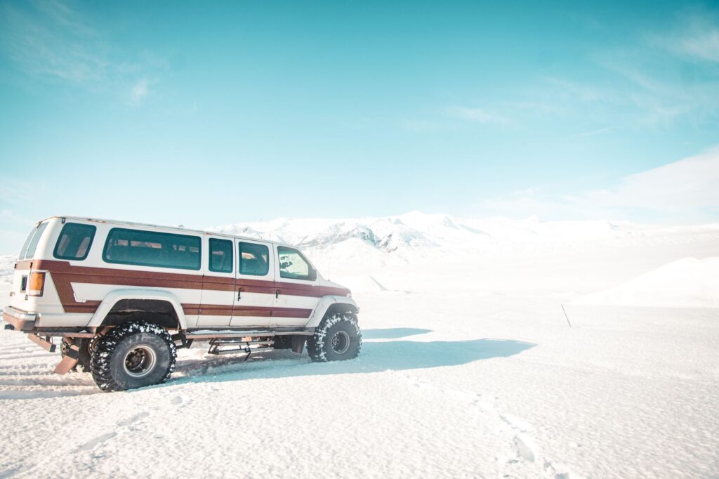
Reaching the access points of the glacier requires booking specialized transport in modified 4×4 Super Jeeps capable of negotiating unbridged river crossings in the Icelandic Highlands (Hálendið). Access is typically arranged from points along Route 1 (Ring Road) in the south or via highland F-roads in the west during the early spring season.
Final Reflections on Modern Exploration
Traversing Vatnajökull in the 21st century means adopting an active role in conscious environmental observation. As high-latitude ice masses undergo rapid transformations, journeying across their vast plateaus grants explorers a profound understanding of global climate fragility. Crossing this ice cap is not a personal sporting achievement, but a masterclass in physical geography and absolute respect for the wild world.