In the heart of the Peruvian Andes, far from the tourist crowds that often congest the trails of the neighboring Cordillera Blanca, rises a mountain massif of colossal proportions and breathtaking beauty. The Cordillera Huayhuash is not a destination for the casual hiker; it is a sanctuary of rock, ice, and wind that demands deep respect, meticulous preparation, and unwavering mental fortitude. Spanning barely thirty kilometers from north to south, this compact knot of summits harbors some of the most challenging and spectacular peaks on the continent, including Yerupajá, Peru’s second-highest mountain, and the infamous Siula Grande—the setting for one of the most dramatic survival epics in mountaineering history. Completing its full circuit means embarking on one of the most coveted and demanding high-altitude trekking expeditions in the world, a journey where civilization fades away and nature manifests in its purest, most monumental state.
The Untamed Heart of the Central Andes
The Cordillera Huayhuash is located at the intersection of the Áncash, Lima, and Huánuco regions. Unlike other easily accessible mountain systems, Huayhuash remains protected by its rugged geography and a relative isolation that has preserved its mystique. The traditional starting point for this adventure is the city of Huaraz, the capital of Peruvian mountaineering. From there, expeditioners travel along winding unpaved roads to Chiquián and, finally, to the small village of Llamac, the official gateway to the circuit. From this point onward, asphalt disappears entirely, and the journey is measured not in kilometers, but in conquered mountain passes and nights spent under a starry sky of almost surreal clarity.
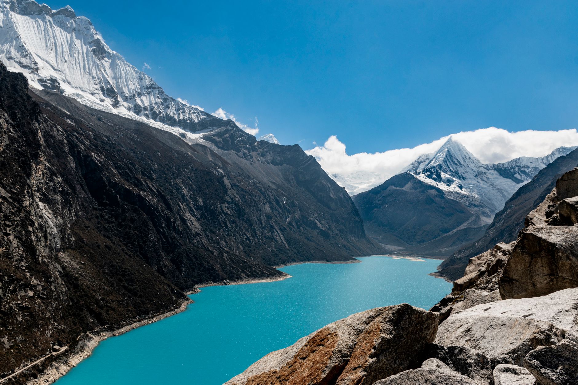
Geologically, the massif is a labyrinth of sharp ridges and deep valleys shaped by tectonic activity and intense Pleistocene glacial erosion. The limestone and sandstone rock walls, crowned by immense masses of hanging ice, create a dramatic color contrast with the glacial lagoons resting in the lower basins. These lagoons, with hues ranging from the deepest turquoise to emerald green, are continuously fed by melting glaciers, offering perfect mirrors that reflect the silhouettes of peaks easily exceeding six thousand meters in elevation.

The Geography of Effort: Altitude and Acclimatization
The main challenge of the Huayhuash Circuit lies not just in the physical distance—which covers approximately 120 kilometers in its classic variant—but in the constant exposure to high altitude. Almost the entire route is completed above 4,000 meters above sea level, and hikers must overcome mountain passes bordering or exceeding 4,700 and 5,000 meters on a near-daily basis. This continuous exposure to thin air demands a rigorous and prior acclimatization process. Experts recommend spending at least three to four days in Huaraz, undertaking warm-up hikes to lower-altitude lagoons like Churup or Wilcacocha, before taking the first step on the Huayhuash trail.
Altitude sickness, or soroche, is a real threat that can ruin the expedition or even become life-threatening. Constant hydration, a diet rich in easily digestible carbohydrates, and a slow, steady pace—the classic Andean step—are essential to surviving the grueling days of climbing. Every pass conquered is a victory over gravity and hypoxia, rewarded with panoramic views that take your breath away as much from physical exertion as from the sheer magnificence of the landscape.
«In the heights of Huayhuash, time is not measured by the hours on a clock, but by the rhythm of your breath and the slow crawl of shadows across ice walls.»
The Parade of Giants: Yerupajá and Siula Grande
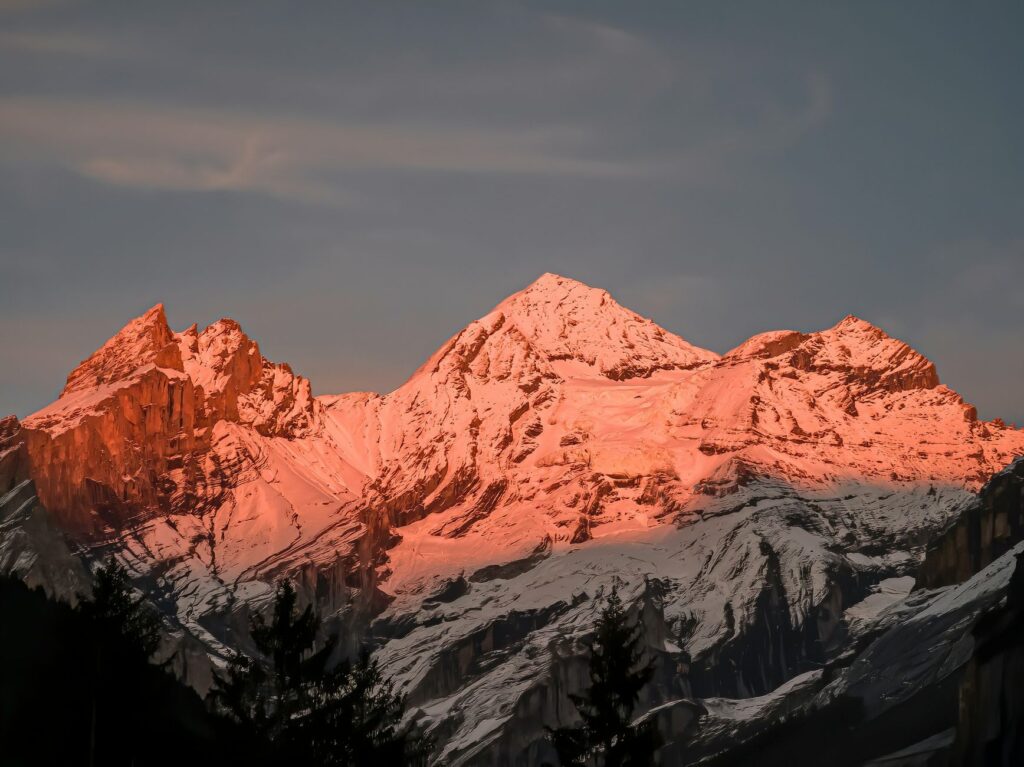
Throughout the route, the landscape is dominated by a succession of ice giants defying gravity. The undisputed king of the range is Yerupajá (6,634 meters), a massive bulk of ice and rock whose west face presents one of the most difficult and dangerous challenges for elite climbers. Its razor-sharp ridges and constant avalanches have earned it a legendary and fearsome reputation within the international alpine community. Watching the sunrise from the Carhuacocha campsite, with the first rays of light painting the peaks of Yerupajá, Yerupajá Chico, and Jirishanca in pink and gold, is an aesthetic experience that alone justifies every ounce of effort expended.
Slightly further south lies Siula Grande (6,344 meters), a mountain forever etched into global memory thanks to the book and subsequent documentary film Touching the Void, which chronicles the miraculous survival of British mountaineer Joe Simpson in 1985. Gazing at the intimidating, chaotic west face of Siula Grande from the San Antonio viewpoint, one cannot help but marvel at the scale of the human drama that unfolded there, while understanding the absolute indifference of these icy cathedrals to the presence of human beings.
The Labyrinth of Passes: Crossing 4,700 Meters
The classic Huayhuash circuit is a continuous chain of valleys and high-altitude passes, each with its own personality and technical challenges. The first major obstacle is the Cacananpunta pass (4,700 meters), which marks the transition to the eastern slopes of the cordillera. The climb, though steep, rewards hikers with views of arid valleys and unique rock formations. Days later, the Carhuac pass (4,650 meters) offers a gentler but equally spectacular approach, opening the doors to the Carhuacocha lagoon basin, widely considered one of the most beautiful campsites in the world.
However, it is the higher passes that truly test an expeditioner’s mettle. The Punta Cuyoc pass (5,000 meters) is the highest point on the standard route, a stony, desolate plateau where winds blow fiercely and where snow or graupel is common even during the Andean dry season. The descent from Cuyoc into the Huanacpatay valley is long and steep, demanding intense concentration to avoid knee and ankle injuries on unstable moraine terrain and loose scree fields.

Encounters on the Altiplano: Life in Quechua Communities
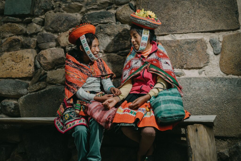
Despite its wild character, the Cordillera Huayhuash is not entirely uninhabited. The territory belongs to various peasant communities of Quechua origin, who have inhabited these highlands for generations, dedicating themselves primarily to herding sheep, cattle, and alpacas. The relationship between mountaineers and local communities has evolved significantly over recent decades. Today, the circuit is managed collectively by the communities, meaning each village charges a camping and transit fee for using their ancestral lands.
These fees, paid in cash at each campsite, contribute directly to basic infrastructure, education, and healthcare in extremely isolated villages like Llamac, Pocpa, Huayllapa, and Pacllón. Interacting with the community members adds a valuable cultural dimension to the expedition; their weathered faces, shaped by the harsh sun and high-altitude cold, reflect admirable resilience and adaptation to a hostile environment. Respecting their customs, keeping campsites clean, and purchasing local goods—such as fresh cheese or trout caught from the glacial lakes—is vital to ensuring that tourism remains a positive force in the region.
«The true sovereignty of these mountains belongs neither to maps nor to travel guides, but to the communities who tend their pastures and converse with the altiplano wind.»
Expedition Logistics: Self-Sufficiency vs. Guided Services
Planning a Huayhuash expedition requires making a fundamental decision: whether to tackle the circuit completely self-sufficiently or to hire the services of a specialized agency in Huaraz. Going independent demands impeccable physical and logistical preparation. Hikers must carry all their high-altitude camping gear, cooking systems, fuel, and food for at least eight to ten days, resulting in backpacks that easily exceed twenty kilograms. Furthermore, navigation can become complex in dense fog or snowstorms, making detailed topographic maps and reliable GPS devices indispensable.
On the other hand, hiring a guided service greatly simplifies logistics and allows hikers to enjoy the scenery with less physical toll. These expeditions typically include a certified mountain trekking guide (AGMP/UIAGM), a cook who prepares warm, nutrient-rich, high-calorie meals, and arrieros (muleteers) with donkeys or horses to carry heavy camp gear and personal duffels. This approach not only increases safety margins in case of an emergency medical evacuation but also directly employs residents of the surrounding valleys, sustainably strengthening the local economy.
Preservation and Sustainability in a Fragile Ecosystem
The Andean puna ecosystem, characterized by ichu bunchgrass, bofedales (high-altitude wetlands), and remnant forests of queñual (Polylepis) trees, is extremely sensitive to human disturbance. The growing influx of visitors in recent years has raised alarms about the urgent need to practice strict Leave No Trace principles. The golden rule of the expedition is absolute: all waste generated must be packed out to the trailheads for proper disposal, and the use of biodegradable soaps and detergents must be strictly limited to areas far from natural water sources.
Bofedales, which act as natural sponges regulating water flow into dry valleys, are highly vulnerable to trampling by hikers and pack animals. Staying on designated trails and avoiding the creation of parallel paths is crucial to preventing soil erosion and habitat fragmentation for endemic species like the threatened Andean goose (huallata) or the elusive Pampas cat. The preservation of the Cordillera Huayhuash relies on the ethical commitment of every mountaineer who enters its domain.
Practical Guide for the Mountaineer
To ensure safety and success during the trek, keep the following verified practical information in mind:
- Best Time to Visit: The dry season, known as the «Andean Summer,» runs from May to September. During these months, days are typically sunny and stable, though nighttime temperatures at high camps can easily drop below -5°C (23°F) and even reach -10°C (14°F).
- Essential Gear: A sleeping bag rated to at least -10°C (comfort), a sturdy three- or four-season tent capable of withstanding high winds and occasional snow, robust waterproof high-cut trekking boots, a reliable layering system (including down jacket and waterproof windbreaker membrane), and an efficient water filter or purification tablets.
- Documentation and Fees: It is necessary to carry sufficient cash in Peruvian Soles (PEN) to pay the community fees at each campsite (approximately 250 to 300 Soles in total per person). Credit cards and electronic payments are not accepted anywhere on the trail.
- Safety and Rescue: There is no mobile network coverage along most of the circuit. It is highly recommended to carry a satellite communication device (such as a Garmin inReach) to send SOS alerts or coordinate rescues in case of serious accidents.
The Echo of the Wind in Glacial Lakes
By the ninth or tenth day of trekking, as the trail finally winds back down toward the village of Llamac, a mixture of physical fatigue and nostalgia washes over the expeditioner. The body, exhausted from thousands of meters of elevation gain and the constant battle against altitude, clamors for rest; yet, the mind resists leaving the purity of the heights behind. Images of Jirishanca’s icy walls silhouetted against the dawn sky, the distant rumble of calving glaciers, and the immense silence of the Andes remain permanently etched in one’s memory.
The Cordillera Huayhuash Circuit is not merely an athletic achievement or a destination to be crossed off a bucket list. It is a transformative personal journey that returns us to our true scale in the face of the planet’s vastness. In an increasingly interconnected and predictable world, Huayhuash stands as a bastion of the wild—a reminder that the Earth’s most beautiful landscapes demand, as an inescapable tribute, the sweat of our brow, the determination of our steps, and a deep, silent reverence.