Introduction to the Masterpiece of Mountain Engineering
Northern Argentina conceals one of the most daring railway infrastructure projects on the American continent: line C-14 of the General Belgrano Railway, popularly known as the Tren a las Nubes (Train to the Clouds). This route is not merely a contemporary tourist product, but the result of a monumental geopolitical and technical effort conceived to connect the region of Salta with the Andes mountain range and, in its original design, with the Chilean border. The layout defies the extreme topography of the Puna de Atacama, winding through deep gorges, arid slopes, and high-altitude plains exceeding four thousand meters above sea level.
Understanding this railway corridor involves analyzing the vision of American engineer Richard Maury, who in the early 20th century designed an unprecedented route. Unlike other mountain railways that used rack-and-pinion systems to overcome steep inclines, Maury devised a system of zigzags, loops, and metal viaducts that allowed locomotives to gain altitude gradually. This technical solution made it possible to overcome colossal elevation changes without compromising the structural safety of the convoys.
Historical Context: Territorial Integration and Trans-Andean Trade
The genesis of the C-14 branch responded to a strategic need of the Argentine state during the first decades of the 20th century: to link the agricultural and industrial production centers of the northwest with Pacific Ocean ports. The primary objective was to consolidate a direct commercial route toward Chile that would reduce transport times and strengthen economic sovereignty in border zones. Construction formally began in the 1920s, facing extreme weather conditions, geographical isolation, and enormous logistical difficulties in transporting building materials and labor.

The workers, mostly local laborers and immigrants, toiled under harsh conditions, enduring altitude sickness, freezing nocturnal temperatures, and the aridity of the Andean desert. Laying the tracks required opening multiple hand-excavated tunnels and building monumental bridges that continue to astonish engineers worldwide. The full inauguration of the main route marked a milestone in the history of South American transport, consolidating a vital connection that transformed the economy of indigenous peoples and local communities.
The Technical Challenge of the Layout: Zigzags, Viaducts, and Tunnels
The design of the C-14 line is a living manual of civil engineering applied to mountainous terrain. To overcome the vertical slopes of the cordillera without using rack systems, the system implements a series of reversals or zigzags. The train moves in one direction, stops, shifts the track switches, and continues climbing in the opposite direction, allowing it to gain altitude step-by-step within confined spaces.
Among the most emblematic structures is the La Polvorilla Viaduct, situated at an altitude of 4,220 meters. This steel structure, composed of a curved section over two hundred meters long, rises sixty-three meters above the valley floor. The millimeter precision with which its metal parts were assembled without digital technology testifies to the technical mastery of its era. Beyond La Polvorilla, the route includes numerous parabolic bridges and curved tunnels that demand constant, specialized maintenance due to corrosion caused by thermal amplitude and the environmental dryness of the Puna.
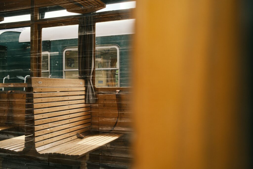
The Puna does not easily yield to human passage; it demands respect, exact calculation, and a profound understanding of its vertical geography.
The Transformation of Service: From Freight Transport to Tourism Corridor
Over the decades and with the restructuring of transport networks in Argentina, the role of the C-14 branch underwent a profound metamorphosis. Although freight transport—especially minerals such as boron and lithium, along with livestock and basic supplies—originally sustained the economic viability of the line, the modernization of road networks gradually displaced the railway for cargo in certain sections.
Faced with this scenario, the provincial state and private operators redirected the railway’s potential toward international tourism mobility, turning it into one of the most prominent attractions in northern Argentina. Nevertheless, the branch maintains a dual vocation: freight formations for the mining sector still circulate periodically, requiring complex logistical coordination between commercial and passenger services to ensure safety on single-track lines.
The Journey Step-by-Step: Key Stations and Landscape Transition
The railway route formally departs from the city of Salta, though the strictly tourist and operational high-mountain section begins operations in the town of San Antonio de los Cobres. As the convoy leaves the Lerma Valley, the subtropical vegetation of the yungas gives way to the prepuna, characterized by giant cardón cacti and rock formations in ochre and reddish tones.
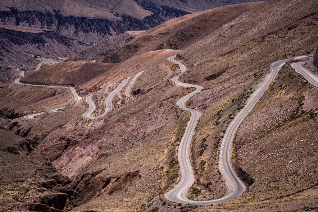
Intermediate stations like Gobernador Solá or Tastil act as silent witnesses to railway history. In Tastil, passengers and regional scholars can observe the vestiges of pre-Columbian settlements demonstrating that this natural corridor has been a route of human exchange for millennia. The ascent continues inexorably until crossing the four-thousand-meter threshold, where the atmosphere thins and the landscape transforms into a vast desert plateau bordered by snow-capped peaks.
Logistics and Planning: How to Access and Use the Transport System
Planning a trip to the C-14 line requires logistical rigor due to the geographical and climatic conditions of the region. Main access is achieved through the city of Salta, connected via regular flights with Buenos Aires and other national capitals, as well as a network of well-maintained paved roads ascending through the Toro Gorge.
The tourist service operated under the Tren a las Nubes brand combines land transport by bus with the main railway section. Passengers depart in adapted vehicles from Salta early in the morning, making technical stops at geological and cultural points of interest such as the El Alfarcito hamlet, before boarding the train in San Antonio de los Cobres to complete the leg to the La Polvorilla Viaduct. This mixed transport modality ensures the gradual acclimatization of travelers, mitigating the effects of altitude sickness.

Infrastructure and Safety in Extreme Altitude Zones
Railway operations above four thousand meters present unique operational challenges requiring strict safety and maintenance protocols. Low temperatures, which drop drastically at night, and gale-force Puna winds require constant checks on braking systems, pneumatic circuits, and the metal structure of bridges.
Additionally, formations include on-board medical assistance and trained personnel to address any altitude-related eventualities. Rails, ties, and signaling systems undergo rigorous inspections by track maintenance crews operating in adverse weather conditions, ensuring the continuity of one of the world’s most complex railway operations.
Socioeconomic Impact on Puna Communities
The continuous operation of the railway corridor generates a direct socioeconomic impact on indigenous communities and Puna settlements. Localities such as San Antonio de los Cobres and surrounding hamlets have developed local economies based on tourism services, regional gastronomy, and the commercialization of llama and vicuña wool crafts.
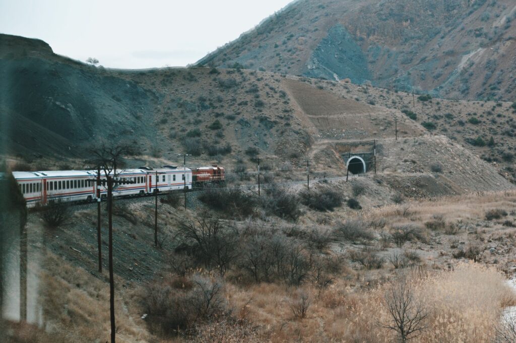
This steady flow of visitors not only invigorates local commerce but has also driven improvements in communication infrastructure, digital connectivity, and basic services in a region historically marginalized by geographical isolation. Preserving the railway thus becomes a bridge between sustainable economic development and the appreciation of Andean cultural heritage.
Considerations for the Responsible Traveler
Visiting this corner of the Andean cordillera demands an attitude of absolute respect toward the natural environment and local communities. The fragility of the Puna ecosystem, compounded by water scarcity and slow waste decomposition due to the cold, dry climate, imposes strict sustainable tourism practices.
Travelers are advised to wear appropriate layered clothing, stay constantly hydrated, and follow the instructions of technical and medical personnel throughout the journey. Understanding that this railway is, first and foremost, a masterpiece of engineering and a vital transport artery enriches the experience and fosters a deep appreciation of the human effort required to inhabit and connect the high mountains.
Connecting the abysses of the cordillera required not only steel and locomotives, but the unwavering will to overcome the natural limits of the earth.