Introduction to the King’s Trail
Northern Sweden harbors one of the most imposing and pristine natural sanctuaries on the European continent: the Kungsleden Trail, internationally known as the King’s Trail. This long-distance itinerary meanders for approximately 440 kilometers across the Swedish Lapland, crossing some of Europe’s oldest nature reserves, such as Sarek National Park and the ancestral domains of the Sámi culture. It is not merely a hiking route, but a deep immersion into a subarctic ecosystem where human footprint is subtle and the climate imposes its own unrelenting rules.
For the experienced mountaineer, Kungsleden represents a challenge of self-reliance, endurance, and adaptation. Unlike conventional alpine routes, the distances between managed cabins, weather variability, and the need to cross lakes by rowing boat or motorboat add a unique layer of logistical complexity. This report offers a rigorous and detailed guide to understanding, planning, and successfully executing a traverse through this territory where the midnight sun or the vibrant hues of the arctic autumn transform every day into an unforgettable experience.
Planning and Logistics: When to Go and How to Prepare
The temporal window to hike Kungsleden safely is strictly limited due to the harshness of the arctic winter. Generally, the summer season extends from late June to early September. During this period, the trails are free of accumulated snow in the main valleys, temporary wooden bridges are installed by Swedish authorities (STF), and local transport services operate regularly. July offers milder temperatures and the opportunity to experience the midnight sun, while August and early September bring the phenomenon of autumn foliage and a lower density of mosquitoes, albeit with noticeably colder nights.
Physical preparation must be thorough. Although the northern section between Abisko and Hemavan—the most heavily traveled classic segment—features excellent cabin infrastructure, the backpack’s weight typically ranges between 15 and 20 kilograms when carrying a tent, a three-season sleeping bag, a portable stove, and provisions for several days. The terrain combines sections of wooden boardwalks over wet bogs with granitic boulder fields, demanding ascents, and technical descents where trekking poles are essential to prevent joint injuries.

Access and Starting Point: Abisko and the Abiskojakka Valley
The journey north invariably begins in Stockholm, from where the night train operated by SJ departs with a final destination in Narvik, making a direct stop at the Abisko Turiststation railway station. This roughly 17-hour rail journey crosses the Arctic Circle, serving as a perfect psychological transition from urban civilization to the boreal immensity.
The official starting arch of the trail is located in Abisko, right next to the tourist station facilities. From the very first kilometer, the trail runs parallel to the canyon carved by the Abiskojakka River. The initial vegetation is dominated by lush mountain birch forests (björkskog), a low canopy that soon opens up to reveal the first wide-open horizons of the alpine tundra. Walkers must register their details in logbooks located at key checkpoints, an essential safety measure managed by the Swedish Tourist Association (STF) to monitor expedition flow and ensure rapid emergency response capabilities.
The STF Cabin Infrastructure: Self-Sufficiency and Comfort
One of Kungsleden’s most unique features is its network of cabins managed by the STF, spaced at intervals of 10 to 22 kilometers. These shelters are not mountain hotels, but rustic yet highly functional facilities usually equipped with wood-burning stoves, bunk beds with mattresses, gas-powered kitchens, running water sourced from nearby streams, and small shops selling basic pantry items such as pasta, canned goods, and traditional Swedish crispbread.
However, the mountaineer must embrace the philosophy of self-reliance that prevails in the north. Advance bookings are not permitted in most remote cabins; a strict principle of solidarity applies where no one is turned away if they arrive exhausted or facing adverse weather conditions. Cabins feature firewood that visitors must chop and haul themselves, and drinking water is obtained directly from river channels whose purity is generally exceptional, though evaluating the proximity of reindeer grazing areas before consuming untreated water is always advised.
Silence in the arctic tundra is not an absence of sound, but the overwhelming presence of nature stripped of human artifice, where the wind sets the rhythm of breathing.
The Northern Section: From Abisko to Nikkaluokta Through the Kebnekaise Massif
The most celebrated segment of the route runs between Abisko and the domains of Kebnekaise, Sweden’s highest mountain, reaching 2,096 meters above sea level at its southern peak. This roughly 105-kilometer stretch is typically completed in five to six days. The trail gradually ascends to elevated plateaus where trees disappear entirely, leaving geological prominence to lichens, dwarf willows, and rocks sculpted by ancient glaciers.
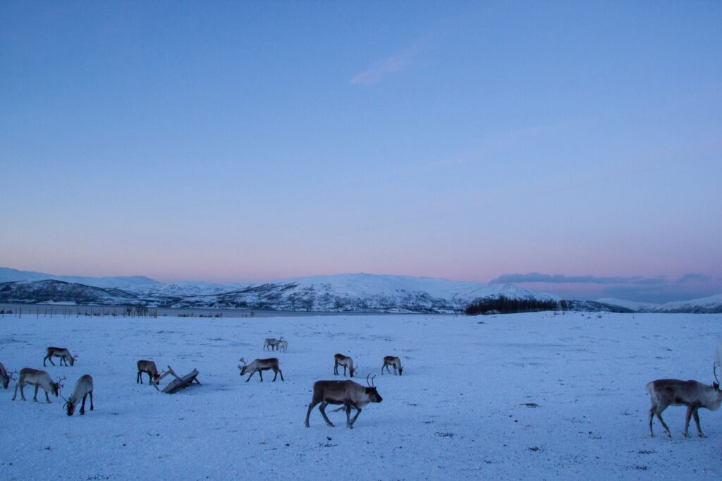
One of the most impressive geographical milestones in this section is the passage through the Alesvagge gorge, a glacial valley flanked by vertical walls of dark rock. As the trail descends toward Alesjaure, the landscape opens up into giant lacustrine mirrors reflecting snow-capped peaks. It is in this area that hikers clearly experience Sámi culture, occasionally spotting herds of free-roaming reindeer under the watchful eye of local herders who combine modern technologies with ancestral traditions.
The Detour to Kebnekaise and the Mountain Station
For mountaineers wishing to summit Sweden’s rooftop, the detour to the Kebnekaise Mountain Station from Singi is an almost mandatory extension. The ascent to Kebnekaise is usually undertaken via the Western Route (Västra Leden), an approximately 18-kilometer round-trip journey with an elevation gain exceeding 1,400 meters. While it does not require technical rock-climbing skills, the route demands excellent physical fitness and caution regarding sudden weather and wind shifts at the summit.

The mountain station offers more advanced services, including a restaurant, showers, a sauna, and a small specialized shop. It serves as a strategic restocking point before continuing south or turning toward Nikkaluokta, where buses connect to the mining town of Kiruna.
Sarek Autonomy and the Southern Detour
For hikers deciding to push beyond the Kebnekaise massif southward, the trail meanders through increasingly remote regions. While the classic stretch between Abisko and Hemavan is clearly marked with red-painted wooden crosses and stone cairns, the proximity of Sarek National Park—known as Europe’s last true wilderness desert—adds a magnetic appeal for adventure purists.
Sarek features neither trail markers nor suspension bridges across many of its main rivers, making entry into its territory reliant on topographic map and compass navigation skills, alongside mastery of river-ford techniques. On Kungsleden, conversely, crossings of large lakes like Laitaure or Akkajaure are managed via communal rowing boats—where the system requires leaving a boat on each shore after making three trips if necessary—or via motorboat services operated by local residents.

The Sámi Culture: Guardians of the Arctic Territory
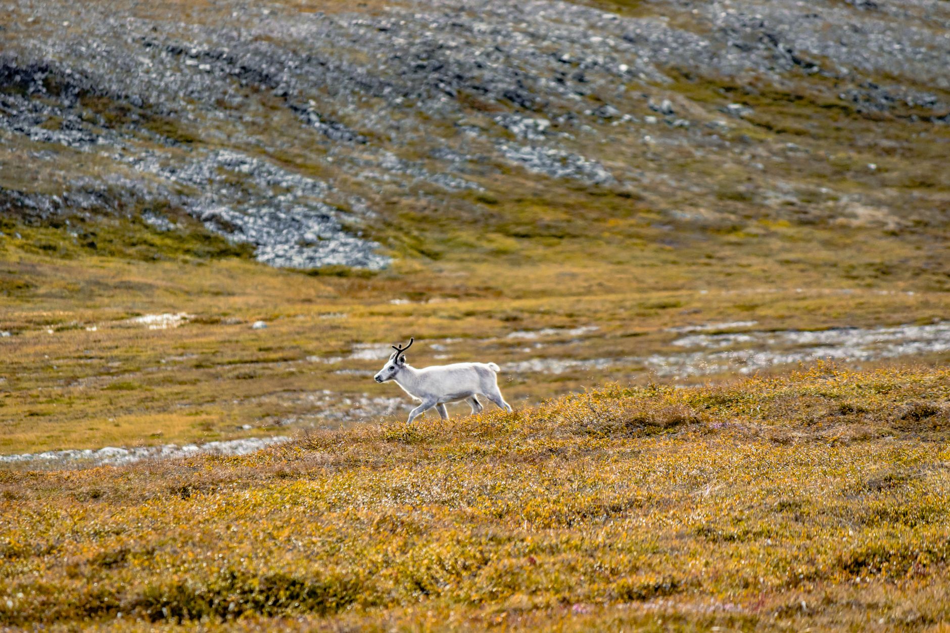
No journey along Kungsleden is complete without understanding the deep relationship between the land and the Sámi people, the indigenous population native to Sápmi (the region spanning northern Norway, Sweden, Finland, and Russia’s Kola Peninsula). During the summer, Sámi herders drive their reindeer herds toward the upper tundra zones in search of fresh pasture and protection from insects.
Hikers must strictly respect local guidelines: maintaining a prudent distance from animals to prevent herd stress, always closing gates on fences and campsites, and refraining from entering sacrificial sites or traditional dwellings without an invitation. Mutual respect guarantees the preservation of a millennia-old lifestyle that has successfully coexisted in harmony with one of the planet’s most hostile environments.
The Southern Stretch: From Ammarnäs to Hemavan
The southern segment of Kungsleden, running between Ammarnäs and Hemavan over roughly 78 kilometers, offers a remarkable landscape transformation compared to the north. Here, valleys are broader, vegetation is denser, and birch and pine forests regain prominence. Ascents to summits like Mount Aigert offer panoramic views over endless lakes and rolling hills stretching toward the Norwegian border.
This sector tends to be less crowded, allowing for an experience of contemplative solitude highly valued by seasoned walkers. The cabins in this section, such as Syter and Viterskalet, maintain STF’s high standards of comfort and safety, closing the circle of the great traverse in the vibrant village of Hemavan, the trail’s official southern terminus.
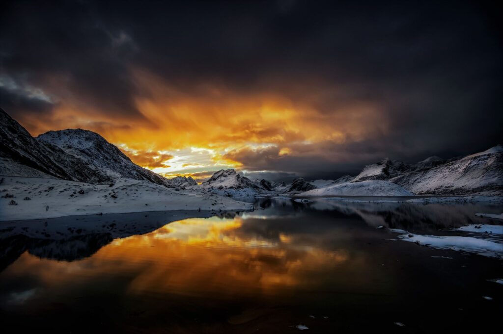
The true value of hiking Kungsleden lies in the simplicity of daily movement: walking, setting up camp, lighting the stove, and accepting the immensity of the landscape as sole company.
Practical Advice and Essential Equipment
The weather in northern Sweden is notoriously volatile; sunny days can transform within hours into freezing windstorms and persistent rain. Equipment must be selected under the principle of maximum reliability. The three-layer technical clothing system is non-negotiable: a base layer of merino wool for moisture management, an insulating mid-layer (fleece or lightweight down), and a high-performance waterproof and windproof outer shell.
Footwear should preferably be high-cut, properly waterproofed, and tested prior to the expedition. Given that damp terrain and bogs are constant, technical gaiters prevent mud and water from entering the boots. Regarding nutrition, STF cabins allow for restocking basic items, but hikers should calculate high-calorie, lightweight rations for sections between shelters. Finally, high-concentration insect repellents and protective face nets are indispensable accessories during June and July.
Conclusion
The Kungsleden Trail is much more than a long-distance route; it is a test of character, an intimate communion with the arctic wilderness, and one of the world’s most rewarding hiking experiences. Traversing its 440 kilometers demands respect for the environment, rigorous preparation, and the ability to disconnect from modernity’s accelerated pace. Upon reaching Hemavan or completing the classic stretch in Abisko, the traveler takes away not only memories of monumental landscapes, but the quiet certainty of having shared, for a few weeks, the primal heartbeat of deep Lapland.