


Introduction to the Norwegian Sea and the Stone Walls of Lofoten
The Lofoten archipelago rises above the Arctic Circle as an imposing wall of dark granite plunging directly into the depths of the Norwegian Sea. Stretching over a hundred kilometers, these islands represent one of the most complex and fascinating maritime landscapes in Northern Europe. Navigating these waters is not a mere touristic displacement, but an immersion into an ecosystem where marine currents, katabatic winds descending from the summits, and the changing northern light dictate the rules of the journey. For centuries, the sea has been the only viable path to connect small fishing settlements clinging to the rocks, making maritime transport the true lifeblood of the region.
Understanding the nautical geography of Lofoten requires analyzing the interaction between the Vestfjorden—the arm of the sea separating the archipelago from the Norwegian mainland—and the open ocean lashing the western coast. Tides at this latitude are strong, generating narrow channels known locally as straumen, where water flows at high speed. The most celebrated of these, the Moskenstraumen current system, has for centuries inspired sailor tales and classical literature due to its violent whirlpools. Planning a safe maritime route requires absolute mastery of tide tables, local meteorology, and the behavior of vessels facing heavy seas.
The Backbone of Maritime Transport: Ferry Networks and Coastal Steamers
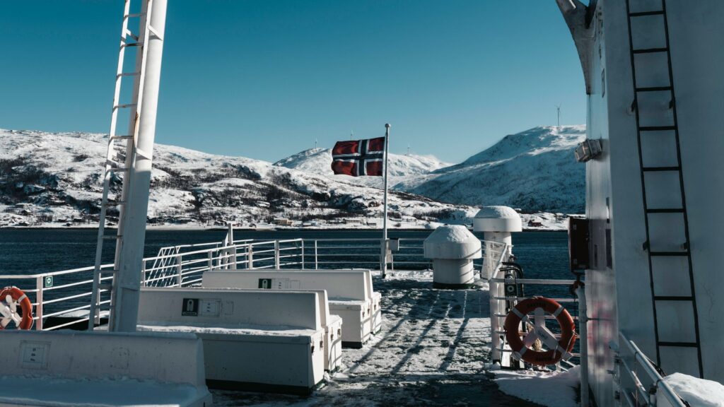
The maritime transport system in Lofoten combines the high technology of modern double-ended ferries with the tradition of historic coastal routes. The main link for vehicles and passengers connects the mainland town of Bodø with Moskenes, located at the southwestern tip of the islands. This crossing across the Vestfjorden takes approximately three to four hours, depending on weather conditions. During storms, the open sea of the fjord tests the stability of the vessels and the endurance of passengers, while offering an imposing perspective of the so-called Lofoten Wall (Lofotveggen), rising on the horizon like a jagged saw covered in snow or wrapped in mist.

In addition to the main route from Bodø, fundamental internal connections weave the transport network without relying exclusively on the E10 highway. Notable among these is the line linking Svolvær with Skutvik, as well as shorter routes connecting smaller islands like Værøy and Røst to the mainland. These ferries are not mere transport means, but privileged observation platforms for spotting seabirds, such as puffins and sea eagles, which find their natural habitat in these cliffs. The punctuality of these services is remarkable, though winter western gales can temporarily suspend departures.
Historic Fishing Routes and the Heritage of Nordlandsbåt Vessels
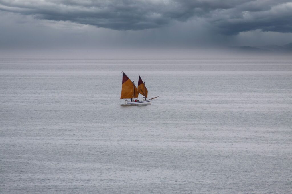
Before the arrival of modern roads and subsea tunnels connecting much of the main islands, the only form of communication and commerce was the sea. Traditional Nordland boats, known as Nordlandsbåt, were specifically designed to withstand the harsh conditions of the Norwegian Sea during the cod (skrei) fishing season, held between winter and spring months. These single-masted, clinker-built sailboats represent a masterwork of naval architecture adapted to the Arctic environment, prioritizing lightness and flexibility over rigidity.
Today, preserving this maritime heritage is a priority for local museums and enthusiast associations keeping traditional sailing techniques alive. Exploring the old ports of Henningsvær, Reine, or Nusfjord reveals how fishing communities structured themselves around rorbu, traditional fishermen’s cabins built on wooden pilings directly over the water. These structures served as temporary shelter for thousands of fishermen arriving from all over the country during the winter bonanza, creating a dense network of cultural and commercial exchange amid geographic isolation.
Meteorological Conditions and Safety in Arctic Navigation
Navigating Lofoten’s waters demands absolute respect for meteorology. The Arctic climate is notoriously unstable, and a sunny day of absolute calm can transform within minutes into a gale with hurricane-force winds and reduced visibility due to thick fog or heavy snow. Wind patterns are strongly conditioned by mountainous topography; steep peaks generate turbulence and strong descending gusts that can surprise navigators near the coast. For this reason, constant monitoring of official meteorological bulletins issued by the Norwegian Meteorological Institute is an indispensable requirement before setting sail.
The Norwegian Sea shows no mercy to improvisation; every journey across the Lofoten archipelago must be treated with the technical rigor of an oceanic expedition, regardless of the distance to be covered.
Onboard safety equipment must include thermal survival suits, long-range VHF communication systems, approved life rafts, and updated nautical charts in both digital and paper formats. Tidal currents, especially in channels between islands, can exceed six knots, making light vessel handling extremely difficult without adequate power or precise knowledge of high or low tide times. Official maritime assistance, managed by the Norwegian Society for Sea Rescue (Redningsselskapet), maintains rescue vessels on permanent standby in the region to handle any offshore emergency.
Port Infrastructure and Key Ports of Call
The archipelago features a network of ports and anchorages ranging from large commercial docks capable of receiving cruise ships and deep-draft ferries, to small natural shelters protected by stone breakwaters. Svolvær, the administrative and commercial capital of Lofoten, acts as the primary maritime logistics hub. Its port offers complete provisioning services, mechanical repairs, fuel supply, and efficient connections to land transport. It is the usual starting point for fishing fleets and tourist expeditions seeking to venture into the eastern fjords.
Further south, the port of Leknes and the docks of Reine offer excellent protection against prevailing westerly and southwesterly winds. Reine, located on Moskenesøy island, is widely considered one of the world’s most picturesque enclaves, with granite peaks dropping sheer into deep blue waters. Navigators seeking tranquility often anchor in the sheltered bays of Austvågøy island, where depth and seabed protection offer secure anchoring, provided rapid shifts in wind direction are closely monitored.
Alternative Transport: The Role of Coastal Expresses and Hurtigruten
One of the most traditional and comfortable ways to experience Lofoten’s maritime routes is through the historic ships of the Norwegian coastal service, popularly known as Hurtigruten, and its competitor Havila Voyages. These mixed cargo and passenger vessels have sailed the Norwegian coast since the late 19th century, ensuring the supply of goods and the mobility of local inhabitants. Stopping at ports such as Stamsund and Svolvær during night or day calls allows travelers to connect with the living history of commercial navigation in Northern Europe.

Unlike large ocean cruise liners, these ships are specifically designed to operate in narrow and challenging waters, adapting to the strict schedules of the historic postal route. Their constant presence in Lofoten’s maritime landscape reinforces the feeling that the sea remains the main artery uniting the archipelago with the rest of the country. For the modern traveler, journeying aboard these vessels offers an unparalleled perspective of the outer coast, navigating channels as narrow as the Raftsundet, where the fjord walls of Trollfjord seem to graze the ship’s sides.
Logistical Planning, Regulations, and Environmental Sustainability
Organizing a maritime voyage or crossing through the Lofoten archipelago requires meticulous planning that must account for seasonality. While summer months offer continuous daylight (midnight sun) and generally calmer seas, winter attracts aurora borealis enthusiasts and extreme navigation, though with much smaller operational windows due to limited daylight and harsh weather conditions. Advance booking for vehicle spaces on main ferries is essential, especially between June and August when tourist demand peaks.
Environmental regulations in Norway are strict to protect fragile marine and coastal ecosystems. Dumping waste into the sea is strictly prohibited, and low-impact propulsion technologies are encouraged for commercial and recreational vessels. Nature reserves and seabird nesting areas have navigation restrictions and landing prohibitions during breeding periods, which typically extend from spring to mid-summer. Respect for local wildlife, including stable populations of seals, porpoises, and occasional orca whale visits, is an unwavering ethical standard for any responsible navigator.
Practical Information for the Traveler and Navigator
For those planning to explore Lofoten by sea, having up-to-date practical information is vital to avoid logistical setbacks. Key aspects to consider include:
- Main Ferry Access: The Bodø – Moskenes route operates multiple times daily year-round, managed by Torghatten Nord. Advance online booking for vehicles is strongly recommended.
- Internal Connections: The ferry triangle between Svolvær, Skutvik, and Hodan provides alternative routes when the E10 highway experiences maintenance closures or adverse weather conditions.
- Weather Conditions: Always consult forecasts on the official Yr.no portal and navigation alerts on Barentswatch.no before starting any trip in owned or rented vessels.
- Refueling Ports: Svolvær and Leknes feature marine service stations supplying diesel and gasoline adapted for watercraft.
- Port Safety: Harbor fees and visitor dock usage in smaller ports are typically managed via local mobile apps or directly with municipal harbor authorities.
Visual Conclusion and Reflection on the Future of the Sea in Lofoten
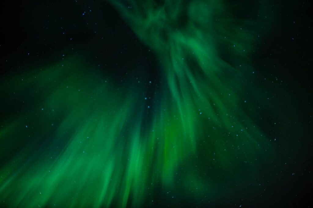
The Lofoten archipelago remains a sanctuary where navigation retains its essential character, untouched by mass tourism and guided by the relentless rhythm of the Arctic nature. Observing the silhouette of boats cutting through the dark waters of the Vestfjorden at sunset, under the golden glow of the midnight sun or the green light of an aurora borealis, leaves an indelible mark on the traveler’s memory. The future of these maritime routes depends on the delicate balance between sustainable tourism development and the preservation of a marine cultural heritage that has defined Norway’s identity for over a thousand years.

