
Origins and Geography of an Atlantic Frontier
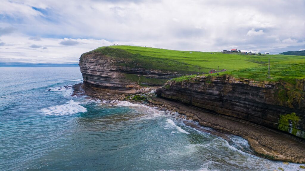
The northernmost tip of the Iberian Peninsula is a territory where the earth yields abruptly to the vastness of the ocean. The Galician Rías Altas, unlike their southern counterparts, feature a rugged coastline shaped by the relentless action of the Cantorian Sea and northern gales. In this extreme geographical context, the seafaring town of Cedeira stands as a focal point of connectivity and human resilience, where historical survival has entirely depended on mastering both aquatic and terrestrial mediums.
Since antiquity, this enclave has served as a natural refuge protected by the mouth of the Condomiñas River. However, the true dimension of its development lies in how its transport infrastructure has evolved to overcome the secular isolation imposed by impossible terrain. The network of regional roads winding through the Sierra de A Capelada is not merely a communication route, but a backbone of civil engineering linking small fishing villages to the major logistics hubs of northwestern Spain.
The relationship between the inhabitants and the sea defines every aspect of daily life in this corner of A Coruña. Far from being an insurmountable obstacle, water has traditionally functioned as the primary commercial highway. Local vessels not only navigate local waters in search of the prized barnacles of the Herbeira cliffs —considered among the roughest in the world—, but also maintain a network of maritime routes connecting minor ports with the high-seas markets of Ferrol and A Coruña.
Sheltered Port Engineering and Fishing Infrastructure
The economic and social heart of Cedeira beats within its harbor basin. The modernization of this infrastructure has been crucial to ensuring the viability of the fishing sector in the 21st century. The breakwaters, designed to withstand the overwhelming force of winter storms, represent a feat of civil engineering applied to high-energy marine environments. These moles allow the inshore fleet to operate safely in a markedly unpredictable marine environment.
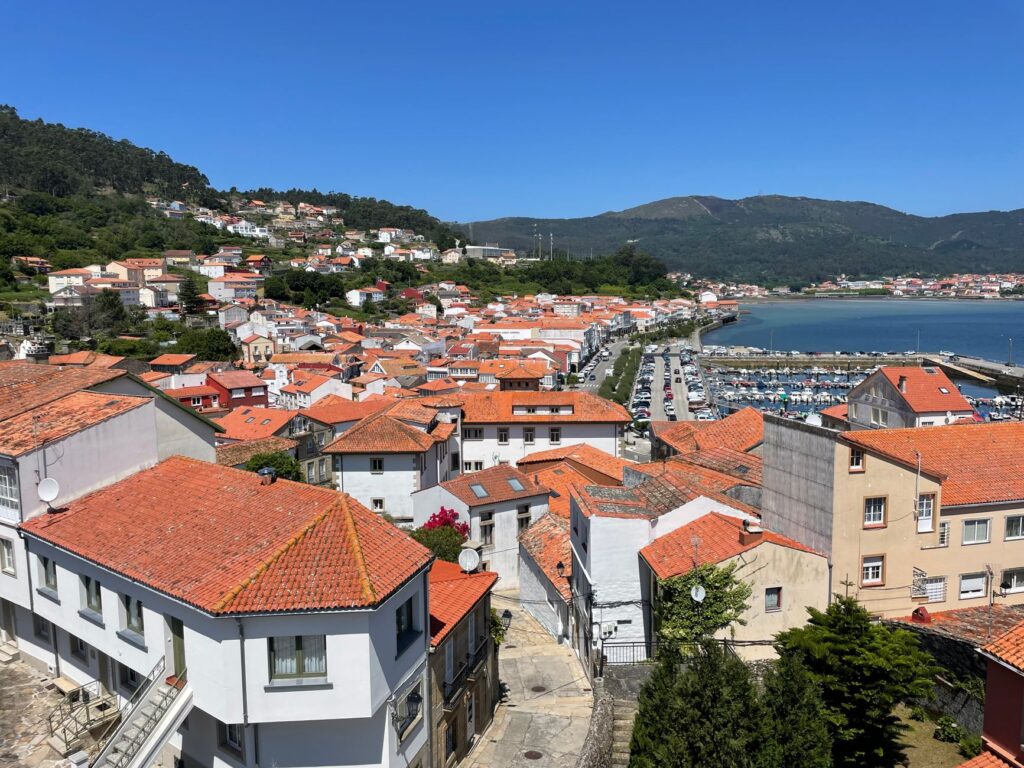
Inside the port, logistics management has been optimized through the integration of technological fish markets and traceability systems ensuring that fresh fish and seafood reach peninsular markets in optimal condition. Efficiency in the cold chain and immediate land transport are the pillars supporting the competitiveness of the local fish market against major distribution centers. Every dawn, refrigerated trucks link the dock with primary arterial roads, connecting artisanal fishing with the European transport network.
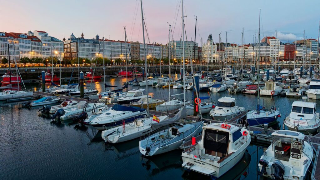
In addition to commercial activity, Cedeira’s port serves a vital function as a refuge for recreational navigation and cabotage. The expansion of pontoons and the enhancement of nautical services have transformed the waterfront, allowing a balanced coexistence between traditional inshore fishing and sustainable nautical tourism, a constantly growing sector along the Atlantic facade.
High-Seas Routes and Terrestrial Connectivity
Connecting a municipality surrounded by formidable geographical accidents demands complex transport solutions. The road network providing access to Cedeira, primarily comprising the AC-566 regional highway, has undergone successive upgrades to smooth steep gradients and eliminate black spots along mountain stretches. This route acts as the umbilical cord supplying the population and enabling the efficient exit of local goods.
Historically, the transport of freight and passengers in this region depended on bridle paths and modest coastal cabotage. Today, multimodality is manifested in the synchronization between regular bus lines connecting with Ferrol and the arrival times of the fishing fleet. Although the region lacks a direct rail connection, integration with high-performance networks through nearby nodes partially compensates for this historic isolation.
The role of local and regional authorities has been fundamental in maintaining these infrastructure networks. Slope failures, frequent during autumn and winter storms, require rapid response protocols and constant investment in slope stabilization through metal meshes and bioengineering techniques respecting the fragile landscape balance of the cliffs.
The Daily Rhythm on the Docks and the Sea Economy
Dawn in Cedeira is marked by a precise choreography repeating without rest. Fishermen return from open-water operations, while on solid ground, market operators prepare trays for the auction. This daily cycle reflects a socioeconomic model where the community maintains rigorous control over its natural resources, applying catch quotas and temporary closures to guarantee marine ecosystem sustainability.
Dependence on the sea does not exempt the region from demographic and economic challenges. The attraction of large industrial cities has driven the gradual aging of the local population, a phenomenon counteracted by economic diversification toward cultural and gastronomic tourism. The added value of the Cedeira brand lies precisely in the authenticity of its human landscape and the preservation of ancient maritime trades at risk of vanishing.
Fishermen’s guilds perform a role extending beyond mere trade unionism; they act as custodians of the territory and guarantors of maritime safety. Their councils regulate tides, supervise vessel conditions, and collaborate closely with maritime rescue services to protect those daily challenging northern currents.
Defensive Architecture and Heritage Tied to Commercial Routes
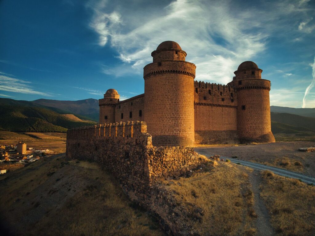
The ría’s strategic position did not go unnoticed by past military strategists. The Castle of Concepción, situated on a rocky outcrop dominating the harbor entrance, stands as tangible testimony to the historical need to protect commercial routes against privateers and enemy fleets. This recently restored fortress formed part of a broader defensive system monitoring the northern maritime corridor.
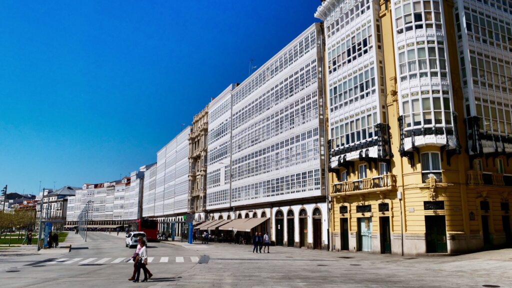
Cedeira’s urban architecture also responds to its seafaring vocation. Traditional dwellings, featuring glazed galleries oriented to capture light and shield against Atlantic humidity, create a compact and functional urban landscape. These structures formerly served not only as homes but as gear storage and observation points for monitoring weather evolution offshore.
Religious architectural heritage, such as the shrine of San Andrés de Teixido —situated nearby on vertiginous cliffs—, completes a cultural map where pilgrimage routes and mule tracks intertwine with maritime history, consolidating a top-tier spiritual and touristic mobility corridor.
Contemporary Challenges in Mobility and Coastal Sustainability
In the 21st century, the primary challenge facing Cedeira’s connectivity is adapting to climate change and accelerated coastal erosion. Rising sea levels and increased frequency in extreme storms compel a redesign of breakwaters and coastal road infrastructure. Public administrations drive impact studies to shield land routes against ocean onslaughts.
Likewise, sustainable mobility has become a strategic priority. Promoting electric vehicles for goods distribution and improving the energy efficiency of port facilities are inescapable goals for maintaining the area’s environmental certification. Preserving the natural environment is not merely an ecological imperative, but the most valuable economic asset ensuring future generations’ survival.
The balance between industrial development derived from fishing and landscape protection is managed through restrictive urban planning regulations preventing urban overcrowding, keeping intact the physiognomy of a territory facing the ocean.
The true measure of a coastal territory lies not in the distance separating it from major metropolises, but in the strength of the human bonds guaranteeing its survival against the sea.
Practical guide
Planning a rigorous trip to this confine of the Rías Altas requires understanding the particularities of its transport network and oceanic climate.
- Getting there by road: The main access is via the AC-566 regional highway from Ferrol or As Pontes. The journey offers scenic stretches but demands caution due to winding mountain layouts.
- Public transport: Regular bus lines operated by the Arriva company connect Cedeira with Ferrol several times daily. There is no direct rail connection; the nearest train station with medium-distance services is in Ferrol.
- Navigation and ports: Cedeira’s marina features pontoons managed by Portos de Galicia, offering basic services for recreational vessels with moderate drafts. Consulting weather forecasts and bar conditions prior to landfall is strongly advised.
- Best time to visit: Spring and summer months offer greater climatic stability and lower storm incidence, facilitating transit across the Herbeira cliffs and coastal navigation.
Epilogue: The Eternal Reflection of the Cantabrian
As the sun begins to dip over the Atlantic horizon, the silhouette of Cedeira’s cliffs merges with dusk in a spectacle of sober beauty. On the docks, movement gradually ceases while boats are securely moored, awaiting the new tidal cycle. This Galician enclave demonstrates that human connectivity and engineering do not seek to dominate nature, but to find a fragile and respectful meeting point with the ocean’s uncontainable force.