
The Liquid Artery Stitching Together the Industrial Heart of Europe
The Rhine is far more than a natural drainage channel descending from Alpine glaciers to the North Sea; it stands as one of the busiest and most complex economic and historical shipping lanes on the planet. Spanning over twelve hundred kilometers, this river weaves together economies, cultures, and landscapes that have evolved in lockstep with its currents. Grasping its contemporary operations requires looking beyond the nineteenth-century romanticism of cliffside castles to delve into a precision-engineered logistics network where heavy industrial freight, high-end river cruising, and stringent environmental management coexist.
From the Iffezheim lock to the Port of Duisburg—the largest inland port in the world—the river operates as a living organism regulated by a dense network of international treaties and cutting-edge technology. The Central Commission for the Navigation of the Rhine (CCNR), formally established in the nineteenth century, continues to set the standards for a traffic where nautical safety and shared sovereignty are negotiated meter by meter. This report explores how civil engineering, fleet energy transition, and the contemporary traveler’s experience intertwine along a channel that never sleeps.
Geography of Locks and Elevation Changes: Mastering the Alpine Current
Overcoming natural elevation changes in the upper and middle course of the Rhine has demanded some of the most daring hydraulic engineering feats in Central Europe. Between Basel and Mainz, the river drops notably, turning navigation into a perilous venture in centuries past. Today, a perfectly synchronized system of retention dams and colossal locks allows both mammoth push-tows and sleek river cruise ships to clear elevation changes with a smoothness imperceptible to those on board.
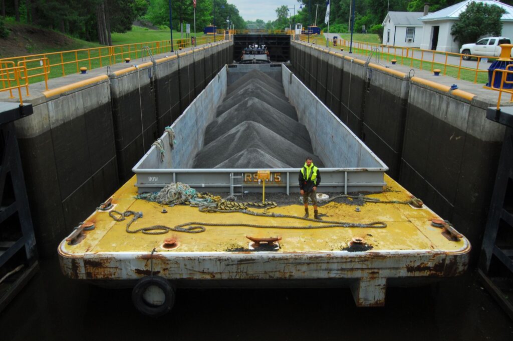
The Gambsheim lock, situated on the Franco-German border, serves as a prime illustration of this invisible yet omnipresent architecture. Featuring chambers exceeding one hundred and eighty meters in length and twenty-four in width, these dikes operate around the clock, managing water level differentials of over ten meters. Hydrological engineers regulate discharge via automated gates responding in real time to meltwater and rainfall contributions from the Swiss Alps, guaranteeing minimum draft levels even during prolonged summer dry spells.
The Seasonal Challenge of Low Water and Critical Drafts
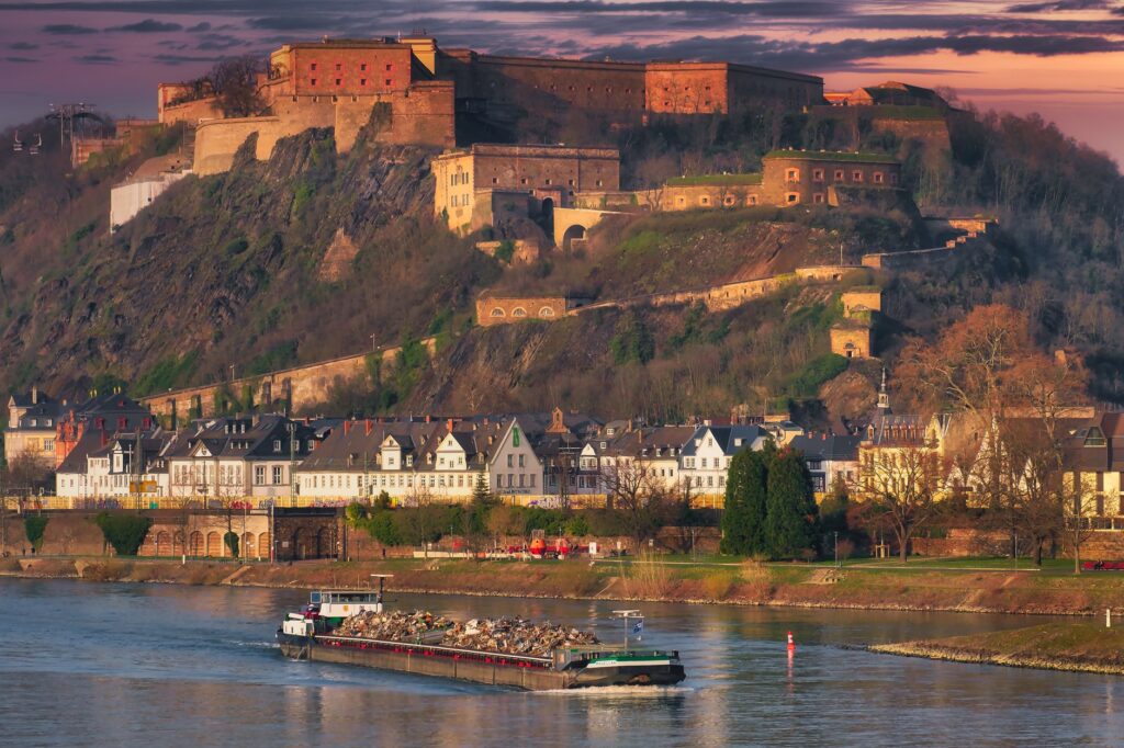
One of the greatest operational hurdles facing Rhine navigation in the twenty-first century is climatic variability. Extended droughts in Central Europe drastically reduce water levels in geographical bottlenecks such as the Kaub shallow near Koblenz, where the rocky riverbed dangerously limits available depth.
When water levels drop below critical thresholds, major freight lines are forced to lighten transported tonnage, directly impacting industrial supply chains across Germany and the Netherlands. Confronting this reality, logistics operators have invested in shallower-draft barges and modular designs capable of maintaining operational profitability even when the river shows its most austere and capricious face.
The Evolution of the Fleet: From Steam Tugs to Sustainable Cruise Ships
The technological transformation of vessels plying the Rhine faithfully mirrors the continent’s industrial evolution. Formerly, heavy steam vessels required full days to stem the current against the rapids of Bingen; today, commercial ships employ high-efficiency diesel-electric propulsion systems and are accelerating toward hybridization with lithium-ion batteries and hydrogen fuel cells.
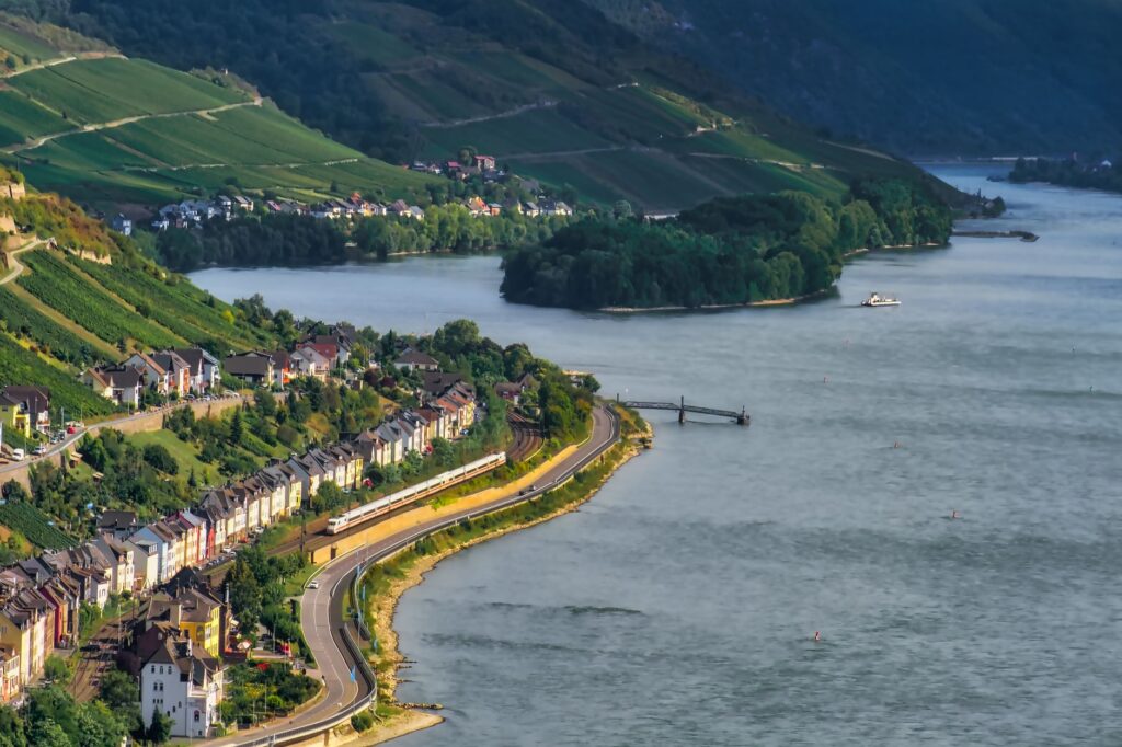
Within the travel sector, the river cruise segment has undergone a radical metamorphosis. Traditional multi-deck vessels have given way to low-profile, aerodynamically designed craft specifically conceived to pass under historic Rhine bridges without requiring the dismantling of the wheelhouse or upper deck sunshades. These floating hotels combine maximum energy efficiency—utilizing shore-power connections in ports to shut down auxiliary engines during overnight stays—with a standard of comfort that redefines slow travel.
The true measure of progress on the Rhine does not lie in how much cargo a single convoy can move, but in how the river has managed to reconcile industrial turbulence with the preservation of its UNESCO-listed riparian landscapes.
The Multimodal Corridor: When Water Dialogues with Rail and Road
No fluvial transport system survives in isolation. The efficiency of the Rhine rests on its seamless integration with high-speed railway networks and highways flanking its banks. In cities like Mannheim, Cologne, or Duisburg, inland ports act as multimodal terminals where goods transferred from container barges are immediately loaded onto nighttime freight trains bound for northern Italy or Baltic Sea ports.
This trans-European connectivity drastically reduces the carbon footprint of continental freight transport. A single fluvial convoy of four linked barges can carry the equivalent of more than two hundred heavy-duty trucks, easing chronic congestion on German highways while offering a predictable, energy-efficient logistics alternative per metric ton-kilometer.
Tourist Synergy at Fluvial Stations
For the traveler, this intermodality translates into unprecedented flexibility. It is entirely feasible to board in Mainz after arriving by high-speed train from Frankfurt, tour the most picturesque stretches of the Upper Middle Rhine Valley with stops in wine-growing towns like Bacharach or St. Goar, and disembark in Düsseldorf or Cologne to connect with the European rail network.
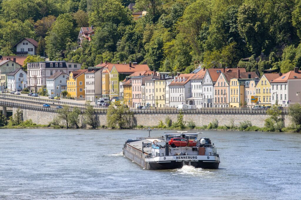
Local authorities have adapted urban docks to make the transition between ship and city fluid, integrating information offices, e-bike rental points, and direct connections with local trams, thereby fostering a low-intensity tourism model that directly benefits local commerce.
The Cultural Landscape of the Middle Rhine: History, Vineyards, and Gorges
The stretch between Bingen and Koblenz, recognized by UNESCO as a World Heritage Site, concentrates the highest density of legends, medieval fortresses, and slate-terraced vineyards in all of Europe. Cruising through this river gorge is stepping into an open-air museum where human agency and geography have conversed for millennia.
Castles such as the imposing Marksburg—the only one in the region never destroyed in past centuries’ wars—dominate the heights from which tolls were once exacted from river merchants. Today, these monuments function as custodians of historical memory, while the surrounding steep slopes produce some of the world’s finest white wines, especially Riesling, whose vines take root in schist soils that retain daytime heat to temper the chill of the current.
Riparian Management and Ecological Protection
Human intervention on the Rhine has not been without historical scars. In the nineteenth century, channelization projects led by engineer Johann Gottfried Tulla eliminated numerous meanders to accelerate water flow and reclaim arable land, increasing the risk of violent downstream floods.
In recent decades, the international «Room for the River» program has invested billions of euros in returning portions of the original floodplains to the riverbed. These controlled retention zones act as natural sponges during sudden flood episodes, protecting riparian urban centers while simultaneously allowing the recovery of natural habitats for migratory birds and native fish species such as the Rhine salmon, which after decades of absence has begun swimming upstream once more.
The Onboard Experience: Fluvial Rhythm and Daily Life
Traveling down the Rhine at cruise speed imposes a mental discipline radically different from the one dictated by air travel or high-speed rail. From the observation deck, the landscape unfolds with the unhurried cadence of a moving canvas: heavy cargo vessels pushing against the current, morning fishermen on gravel banks, monumental locks opening with a hydraulic whisper, and small communities where church bells mark the pulse of the hours.

Life on board fosters intimate coexistence among passengers from highly diverse backgrounds. Meals, crafted from fresh seasonal produce sourced at port stops, reflect the transnational pantry of the basin: from Baden white asparagus to artisanal cheeses from the Rhenish region and local wines served by sommeliers specializing in the river’s designations of origin.
Traveling the Rhine is not an exercise in rapid transit, but a deliberate immersion in the historical and economic axis that sustains the deep identity of Central Europe.
Practical guide
- Best Time to Sail: May to September offers the most stable weather, though spring months (May and June) feature lower tourist crowds and blooming vineyards. Autumn (September and October) coincides with the grape harvest and wine festivals in the middle valley.
- Major River Cruise Operators: Companies such as Viking River Cruises, AmaWaterways, A-ROSA, and Scenic offer regular 4-to-8-day itineraries connecting Basel with Amsterdam or Cologne.
- Rail Logistics and Connections: The Left Rhine railway line (Linke Rheinstrecke) runs parallel to the river and features stations in virtually all tourist towns, allowing travelers to combine boat segments with regional train journeys.
- Freight Ports and Intermodality: Duisburg (Duisport) manages the lion’s share of container traffic and serves as Europe’s benchmark in multimodal logistics, combining barge, freight rail, and highway networks.
- Navigation Requirements for Private Craft: Recreational skippers must hold an International Certificate for Operators of Pleasure Craft (ICC) and strictly obey river signage and priority rules regarding commercial convoys exceeding 100 meters in length.
The Twilight Reflection on the Water: The Eternal Compass of the Rhine
When the sun dips behind the valley’s steep ridges and dyes the waters a deep copper hue, the Rhine assumes its most contemplative dimension. At the docks in Koblenz, precisely where the green waters of the Moselle merge with the greyish current of the Rhine at the monument to Emperor William I, activity never entirely ceases; the navigation lights of nighttime cargo vessels blink in the distance like fallen stars upon the surface.
This ceaseless flow, operating since the Roman era when legions established their defensive limes here, remains the most palpable proof that major river corridors are not merely transportation infrastructure, but open veins carrying the memory, economy, and vital pulse of an entire continent that finds its truest mirror in water.