
Introduction to California’s Premier Mountain Traverse
The John Muir Trail (JMT) stands as one of the most revered long-distance backpacking journeys in the North American continent. Spanning over two hundred miles entirely within the state of California, this legendary route weaves through the protected landscapes of Yosemite National Park, the headwaters of the San Joaquin River, the wilderness domains of Kings Canyon, and Sequoia National Park, ultimately culminating on the summit of Mount Whitney, the highest peak in the contiguous United States. Unlike heavily commercialized trails, the JMT demands absolute respect for alpine fragility, cumulative elevation gains, and meticulous logistical planning that begins months before stepping foot on the first trail marker.
Comprehending the scale of this route requires accepting that a vast majority of the itinerary unfolds above ten thousand feet of elevation, frequently brushing against the fourteen-thousand-foot mark at major mountain passes. This geographic reality imposes shifting meteorological conditions, where summer electrical storms and extreme temperature fluctuations are standard rather than exceptional. Trekkers venturing into this natural corridor must possess solid physical conditioning, adaptability, and a comprehensive understanding of the conservation regulations established by federal land management agencies.
Geography and Route Layout
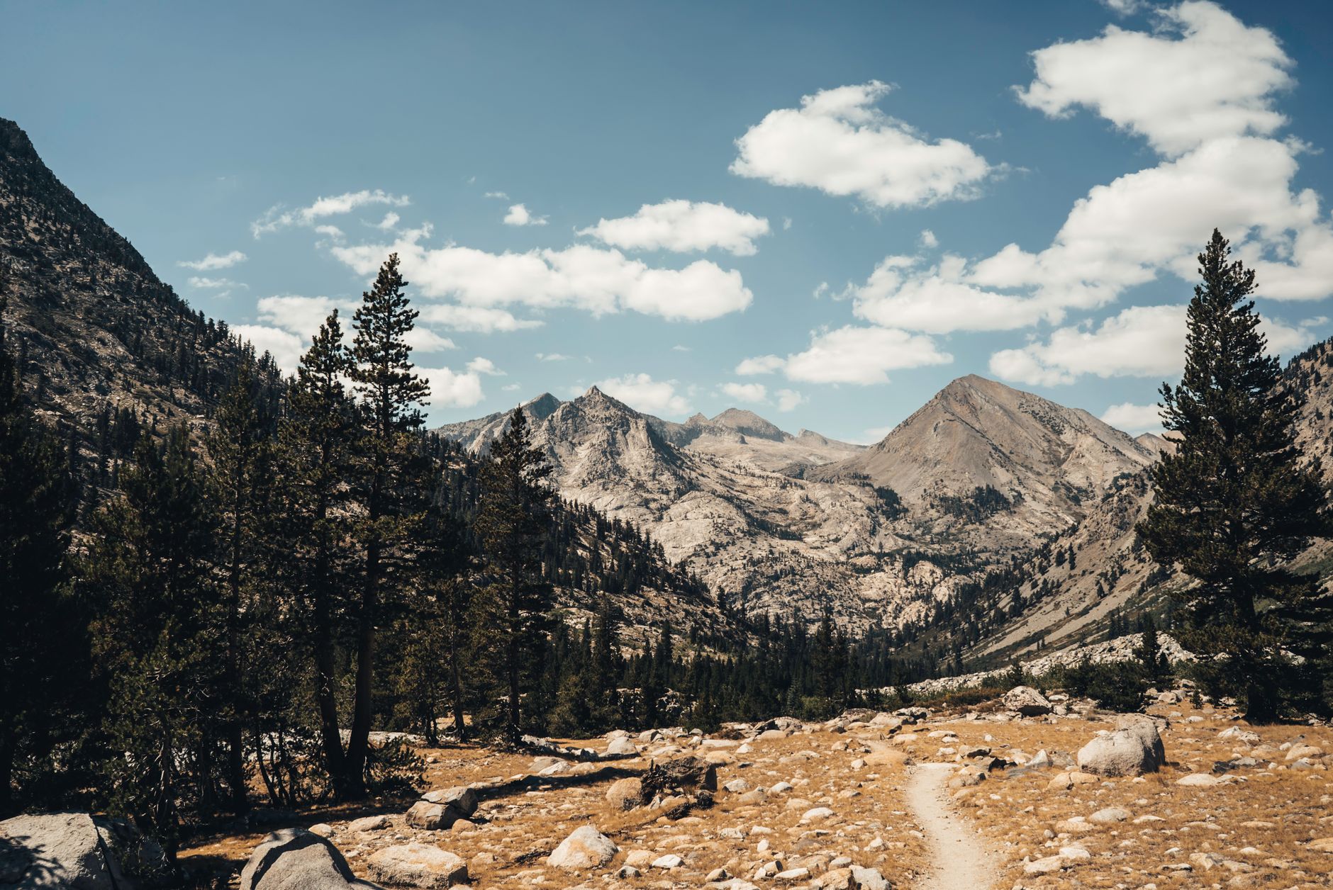
The classic alignment traditionally begins in Yosemite Valley at Happy Isles, though some mountaineers choose alternative entry points such as the East Fork canyon of the Tuolumne River or via Donohue Pass. From the forested floors of Yosemite, the trail ascends rapidly toward granitic plateaus where arboreal vegetation yields to bare rock, turquoise glacial lakes, and high-altitude subalpine meadows.

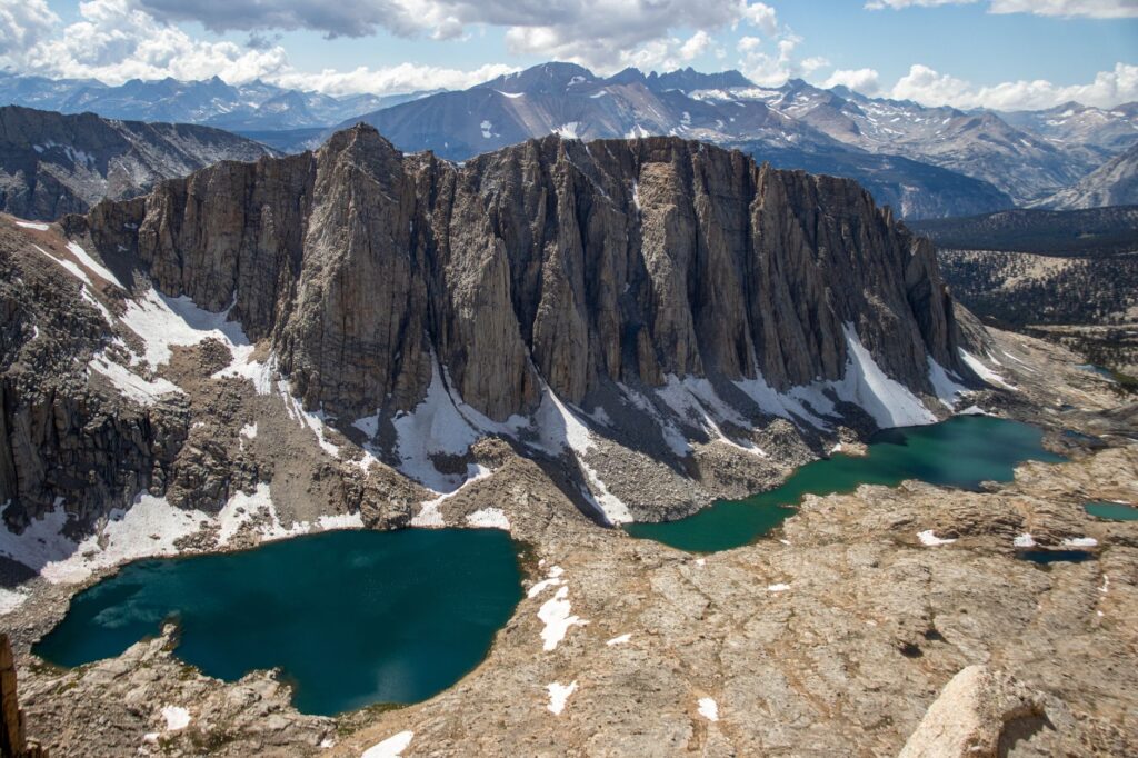
As the route progresses southward, the topography becomes significantly more rugged. Hikers must surmount a succession of high-altitude mountain passes, most notably Donohue Pass, Selden Pass, Muir Pass, and the formidable Forrester Pass, situated well over thirteen thousand feet above sea level. Each of these high cols acts as a natural boundary between river basins, offering uninterrupted panoramas of jagged peaks, glacial cirques, and deep canyons carved over millennia by karstic erosion and Pleistocene ice sheet retreats.
Planning and Permit Administration
One of the greatest logistical hurdles of the John Muir Trail lies not in the daily physical exertion, but in securing highly competitive wilderness permits. The quota system implemented by federal authorities aims to protect fragile alpine ecosystems from erosion and overcrowding by strictly limiting the number of backpackers permitted to begin the journey each day from specific trailheads.
Permit applications are managed primarily through the online platform Recreation.gov via advance lottery systems conducted months prior to the summer trekking season. It is vital to understand that the chosen entry trailhead dictates the legal compliance of the entire itinerary. Hikers starting in Yosemite must secure a permit that explicitly covers an exit over Donohue Pass, an indispensable prerequisite for continuing legally southward into the interconnected National Park wilderness of the Sierra Nevada range.
Resupply Logistics Along the Route
Because the complete journey requires anywhere from three to four weeks of continuous trekking for most backpackers, food transportation and storage constitute critical operational tasks. Along the alignment, official resupply points are sparse yet strategically positioned, allowing walkers to reduce initial pack weights by dividing the traverse into manageable, self-supported segments.
Key logistical support hubs include isolated commercial outposts such as Muir Trail Ranch, Vermilion Valley Resort (VVR) at Lake Edison, and remote backcountry facilities accessible via lateral connecting trails, such as Kearsarge Pass leading out to Onion Valley. Each of these locations operates under strict guidelines for receiving postal packages dispatched weeks in advance, charging storage fees and demanding strict adherence to seasonal operating schedules tied directly to the post-winter opening of mountain access roads.
The mountain does not reward reckless ambition, but rather the patience of those who listen to its silences and respect its relentless laws of self-reliance.
Wildlife Management and Bear Canisters
The presence of the American black bear represents an ecological constant across the entire Sierra Nevada range. These mammals possess an extraordinary sense of smell and have historically learned to associate human presence and backpacks with easy food sources. Consequently, regulations strictly mandate that all backpackers store their entire food supply, toothpaste, sunscreen, and organic waste inside rigid, bear-resistant canisters approved by land management agencies.
Flexible hanging bags or simple rope systems are prohibited across the vast majority of the route due to the proven ability of local bears to breach them. Approved canisters, manufactured from high-strength polymers or carbon fiber, must be placed every night at a prudent distance from camp on flat ground, away from cliffs or watercourses where an animal might roll the container to attempt a fracture.

Altitude Acclimatization and Prevention
Continuously surpassing ten thousand feet of elevation exposes the human body to reduced barometric pressure and, consequently, lower oxygen availability per breath. Acute mountain sickness can affect any trekker regardless of prior physical conditioning, manifesting through persistent headaches, nausea, extreme fatigue, and sleep disturbances during initial nights at altitude.
To mitigate these risks, the most effective strategy involves progressive acclimatization prior to undertaking strenuous physical exertion. Many mountaineers choose to spend several days overnighting at elevated areas within Yosemite Valley or completing preparatory side hikes. Furthermore, maintaining consistent hydration and adequate complex carbohydrate intake facilitates physiological adaptation during the initial stages of continuous ascent toward high mountain passes.
Hydrological Management and Water Purification
Although the California Sierra Nevada offers an apparent abundance of crystal-clear streams, glacial tarns, and high-mountain springs, surface water should never be consumed directly without prior filtration or chemical treatment. The presence of cattle grazing on authorized allotments along certain stretches and native wildlife makes natural water a potential vector for pathogenic microorganisms, most notably the microscopic parasite Giardia lamblia.

Purification methods recommended by expedition guides combine hollow-fiber membrane microfilters with supplementary chemical treatments using chlorine dioxide when viral or resistant bacterial presence is suspected. It is advisable to replenish water storage at every reliable source before embarking on prolonged climbs toward high cols, where surface water supplies vanish entirely due to the permeable nature of granitic soils.
Technical Equipment and Apparel for the Traverse
Backpacking gear design for the John Muir Trail follows a strict philosophy of weight reduction without compromising safety against severe meteorological shifts. Apparel should be structured using breathable technical layers comprising a synthetic or merino wool base layer, a thermal insulating mid-layer of down or synthetic fill, and a high-performance waterproof, windproof outer shell.
For sleeping arrangements, a sleeping bag with a thermal comfort rating adequate for sub-zero temperatures is required, as nocturnal frosts are common even during core summer months. Footwear should ideally consist of robust trail running shoes or lightweight mid-height boots tested thoroughly beforehand to prevent blistering after consecutive days of marching over rocky terrain, abrasive granite slabs, and frequent cold stream crossings.

Navigation, Cartography, and Communication Systems
Although the primary trail alignment is generally well-marked and discernible via continuous footsteps and stone cairns, exclusive reliance on electronic devices can prove hazardous during battery failures induced by cold nocturnal temperatures. Carrying detailed printed topographic maps and a magnetic compass in proper working order remains an indispensable safety requirement.
For emergency situations or communication with the outside world, two-way satellite messaging devices have become standard safety tools. These gadgets allow users to dispatch text messages and trigger distress signals to county rescue services or National Park rangers in the event of severe accidents, incapacitating injuries, or the unexpected onset of severe high-mountain storms.
The true essence of the trail does not lie in reaching the final milestone of Mount Whitney, but in the intimate daily communion with the silent immensity of the alpine wilderness.
Practical Information for the Traveler
- Optimal Season: The ideal window runs from mid-July through early September, when the majority of winter snow has melted from high mountain passes.
- Primary Trailhead: Happy Isles in Yosemite Valley requires a specific overnight wilderness permit exiting via Donohue Pass.
- Terminal Point: The trail concludes at Whitney Portal, accessible via road transport from the town of Lone Pine.
- Mandatory Permits: Advance planning and acquisition required via Recreation.gov utilizing seasonal lottery systems.
- Waste Management: Strict Leave No Trace principles apply; burying human waste in upper alpine zones is prohibited, and packing out solid waste is required in designated fragile areas as mandated by rangers.
- Communications: Cellular telephone coverage is entirely nonexistent along ninety percent of the route; carrying personal satellite locator beacons for emergencies is mandatory.
Conclusion and Trail Legacy
Completing the John Muir Trail transcends the mere accumulation of mileage or the ascent of iconic summits. It represents an exercise in introspection and respectful coexistence with one of the best-preserved natural sanctuaries on the planet. The self-reliance demanded by the terrain, the tacit camaraderie among hikers sharing campsites, and the daily contemplation of golden sunrises over granite peaks forge a lasting perspective on the urgent necessity to preserve these fragile ecosystems for future generations of responsible travelers.