The Wadden Sea Route: Operational, Maritime, and Rail Guide to Exploring the North Frisian Islands
An exhaustive journey through the complex network of ferries, narrow-gauge diesel trains, and tidal shifts connecting the European mainland to the fragile Frisian archipelago in the North Sea.
Introduction to the Intertidal Labyrinth of the Wadden Sea
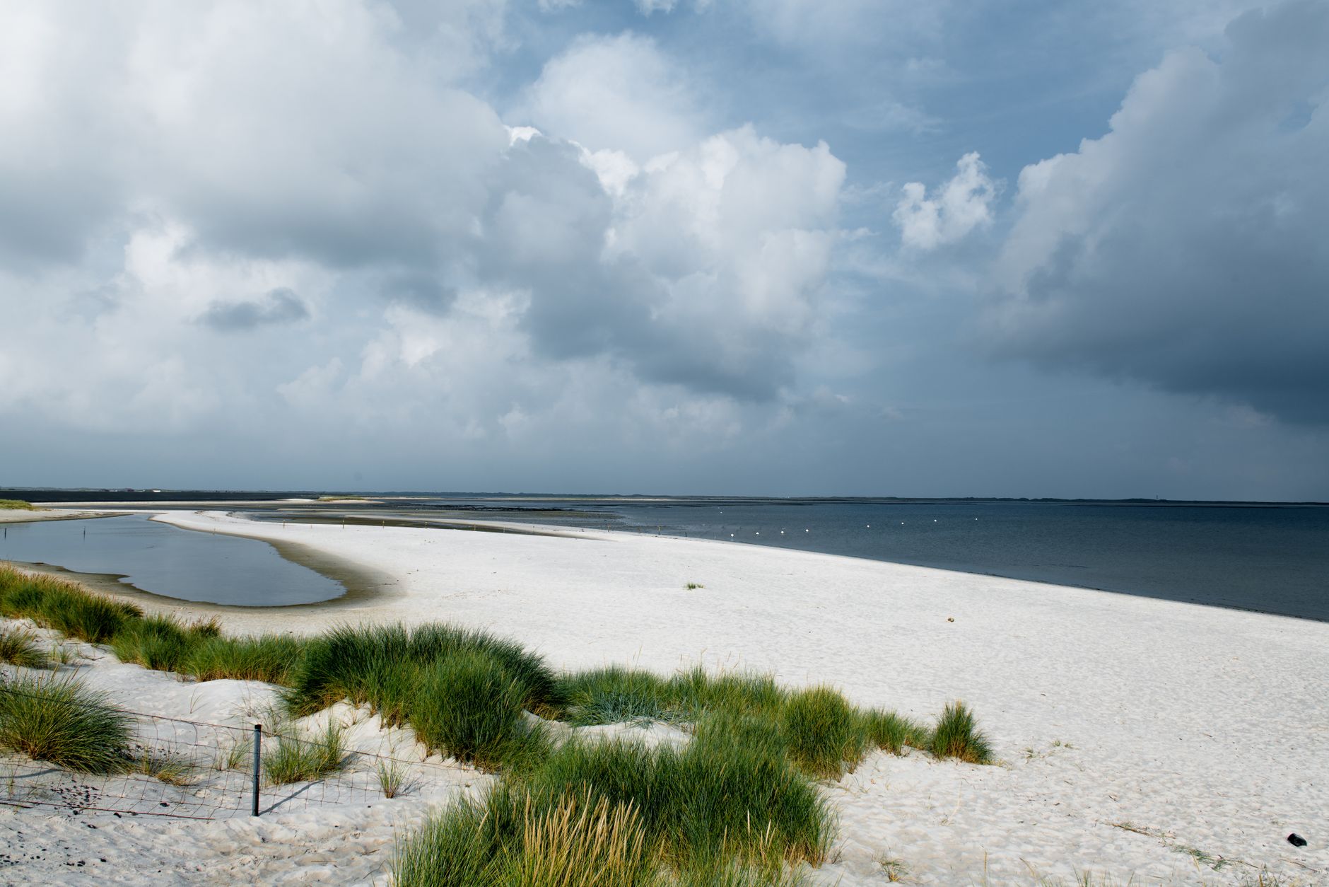
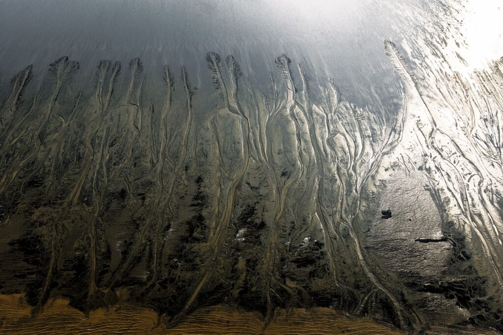
The northern extremity of Germany and the Netherlands conceals one of the most unique and dynamic landscapes on the planet: the Wadden Sea. Designated as a UNESCO World Heritage site, this vast intertidal ecosystem is not only a globally significant ecological sanctuary, but also a formidable logistical engineering challenge in public transportation. Traveling through this region requires understanding that schedules are dictated not merely by clocks, but by the inflexible astronomical law of the tides. Connections to the North Frisian Islands, known in German as Nordfriesische Inseln, represent a masterclass in intermodal integration where high-speed trains, regional diesel locomotives, amphibious buses, and deep-sea ferries operate with millimetric precision.
This report examines the crews, historical railway infrastructures, dredged mud channels, and operational mechanisms that safely move thousands of daily travelers and goods to remote enclaves such as Sylt, Amrum, Föhr, and the Halligen islands—where dwellings stand atop artificial mounds called Warften to survive storm surges.
The Rail Gateway: The Hamburg to Westerland Axis
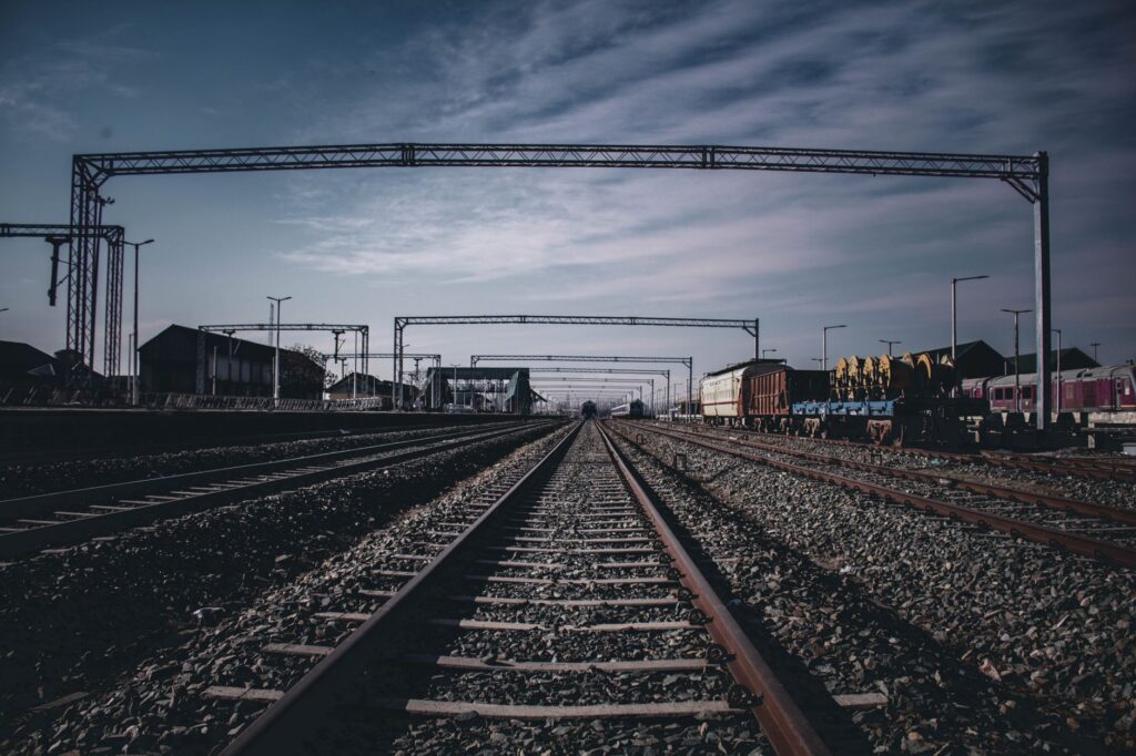
The backbone feeding passenger flow into the North Frisian islands is the railway corridor originating at Hamburg Central Station (Hamburg Hauptbahnhof) and stretching to the iconic island of Sylt. This route combines high-density commuter traffic with long-distance services operated by Germany’s national railway company, Deutsche Bahn, and private operators such as the historic Nord-Ostsee-Bahn, establishing a vital artery for the island economy.
The journey begins crossing the plains of Schleswig-Holstein via Elmshorn and Itzehoe, a layout where electric Intercity trains achieve stable commercial speeds of up to 160 kilometers per hour. As the convoy pushes northward, the urban landscape gives way to vast pastures where cattle graze under the watchful eye of sea dikes. Electrification reaches Itzehoe and extends further north to Husum and Niebüll, necessitating complex technical transitions at specific operational points.
The Hindenburgdamm: The Engineering Feat Linking Sylt to the Mainland
The quintessential infrastructure milestone of the region is the Hindenburgdamm, an 11-kilometer railway causeway inaugurated in 1927 that radically transformed accessibility to the island of Sylt. Before its construction, the island’s isolation relied entirely on steamships exposed to severe weather and shifting sandbanks in the Wadden Sea.
Today, this causeway functions as an exclusively railway corridor where no private automobiles travel by road. Vehicle transport operations are conducted via the Autozug system, where cars and trucks are loaded directly onto open rail platforms at the mainland station in Niebüll for transport across the sea to Westerland. This over-water journey takes approximately 35 minutes and offers a fascinating technical experience, with passengers observing the salt marshes from inside their vehicles while the locomotive advances over a narrow strip of stone and concrete defying spring tides.
The Hindenburgdamm is not merely a rail line; it is a hydraulic containment dike that deliberately alters marine current flows, sparking historical and scientific debates regarding its ecological impact on the surrounding delicate ecosystem.
The Ferry Network to Föhr and Amrum: Navigating Shifting Sandbanks
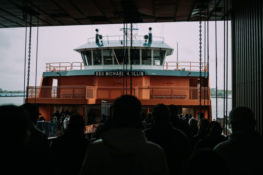
While Sylt enjoys direct rail access via the Hindenburgdamm, the neighboring islands of Föhr and Amrum rely entirely on maritime transport and the expertise of their captains. The mainland port of Dagebüll serves as the central hub where passengers arriving on regional trains from Niebüll immediately connect with large ferries operated by W.D.R. (Wyker Dampfschiffs-Reederei).
Navigation in this area of the Wadden Sea is an exercise in high-precision seamanship. Vessels cannot chart straight lines due to shallow depths and the continuous reshaping of navigation channels by currents and storms. Captains must strictly follow floating buoys and advanced satellite positioning systems to bypass extensive sandbanks exposed during low tide. Ferries feature flat-bottom hulls and powerful azimuth propulsion systems enabling agile maneuvering in confined waters and safe docking at adjustable mobile ramps compensating for tidal differentials of up to three meters.
Transport in the Halligen Islands: Extreme Insular Connections
A distinct chapter in Wadden Sea mobility belongs to the Halligen islands, extremely small islets lacking conventional protective dikes that partially flood during storm surges—a phenomenon known as Landunter. Reaching these communities requires smaller-draft public service vessels operating from Schlüttsiel.
Historically, the isolation of these populations has produced truly unique transport solutions, such as small narrow-gauge private rail vehicles utilized by residents and postal services over elevated tracks to connect structures or small patches of mainland during extreme low tides. These infrastructures highlight the resilience and technological adaptability of human communities that have transformed geographic vulnerability into a model of sustainable logistics management.
Intermodal Integration and German Transport Passes
The operational success of North Frisian transport networks rests on robust schedule coordination between regional rail services and ferry fleets. Arrivals of regional trains from Husum and Westerland at connection piers are synchronized to the minute, enabling seamless transfers without prolonged waiting times.
In recent years, the introduction of national flat-rate tickets like the Deutschlandticket has dramatically simplified access to these services, allowing travelers to use regional trains and local island buses under a single digital format. However, island ferries and automobile transport trains (Autozug) remain excluded from these general passes, requiring specific tickets that should be booked well in advance during peak summer tourist seasons and holiday weekends.
Secondary Airport Infrastructure and Light Aviation
Beyond rail and maritime transport, Wadden Sea connectivity is complemented by a modest yet active network of local airfields located on islands like Sylt (Westerland Airport, GWT) and smaller strips such as Wyk auf Föhr or Heide-Büsum. These facilities primarily handle seasonal charter flights and general aviation, connecting German financial centers like Düsseldorf, Frankfurt, or Munich with high-end vacation residential areas.
Managing these insular airports demands strict environmental protocols due to immediate proximity to migratory bird nesting zones protected by international agreements such as the Ramsar Convention. Short runways and frequent intense crosswinds from the North Sea require complex instrumental approach procedures and highly qualified pilots.
Contemporary Challenges: Climate Change, Dredging, and Sustainability
Maintaining these transport routes presents colossal challenges driven by climate change and global sea-level rise. Increasingly violent and frequent winter storms accelerate erosion along sand dikes and rail infrastructure across the Hindenburgdamm, forcing German authorities to allocate millions in annual budgets for structural reinforcement and continuous dredging of navigation channels.
Simultaneously, the energy transition has reached the Wadden Sea maritime sector. Companies like W.D.R. are progressively deploying hybrid and electric ferry fleets powered by liquefied natural gas (LNG) or high-capacity battery systems to drastically reduce carbon dioxide emissions and mitigate noise pollution in a natural environment highly sensitive to human disturbance.
Securing mobility across the Wadden Sea without compromising biosphere integrity is the greatest technical and ethical triumph of modern civil engineering in Northern Europe.
Practical Information for Travelers and Route Planners
Engineers, geographers, and travelers interested in navigating this transport corridor efficiently and respectfully are advised to follow established operational guidelines:
Schedule Planning: Always consult official tide tables published by the Federal Maritime and Hydrographic Agency (BSH) before planning journeys on smaller vessels.
Vehicle Reservations: Automobile slots on the Sylt Autozug and island ferries are strictly limited; booking at least four weeks in advance during summer months is strongly recommended.
Luggage and Soft Mobility: The Frisian islands prioritize cycling and local public transport; regional trains feature ample designated bicycle storage, though specific supplemental tickets are mandatory during peak season.
Digital Connectivity: Download official applications for Deutsche Bahn and local ferry operators to receive real-time alerts regarding schedule modifications caused by adverse weather conditions or exceptional low tides.
Conclusion: The Delicate Balance Between Mobility and Conservation
The transport network sustaining the Wadden Sea and its islands is far more than a mere means of moving from point to point; it is a living testament to how humanity can coexist with one of the most dynamic and fragile natural environments on Earth. From the historic Hindenburgdamm to modern hybrid ferries cutting through muddy channels, every link in this logistical chain proves that transportation efficiency need not conflict with environmental preservation.
For methodical travelers and transport engineering enthusiasts, exploring this archipelago reveals that true speed is not measured by high-speed rail records, but by the capacity to adapt to the relentless rhythm of the sea and tide.