
Introduction to the Dolomites Alta Via 1
The Dolomites, designated a UNESCO World Heritage site, represent one of the most singular geological formations on Earth. Their vertical walls of pale limestone, contrasting with green valleys and deep gorges, offer an incomparable setting for long-distance hiking. Among the most emblematic routes is the Alta Via 1, also known as the Classic Route. This itinerary connects Lake Braies in the province of Bolzano with Belluno, crossing the heart of the eastern Dolomites over approximately 120 kilometers.
Unlike other alpine traverses that require advanced rock-climbing skills or the constant use of crampons on glaciers, the Alta Via 1 is technically accessible, though physically very demanding. Most of the route follows well-marked paths, ancient military supply roads from World War I, and high-altitude pastures. However, altitude, cumulative elevation gain, and the unpredictable weather typical of mountain environments require rigorous planning and absolute respect for the natural environment.
Geology and Landscape: The Legacy of Coral Reefs
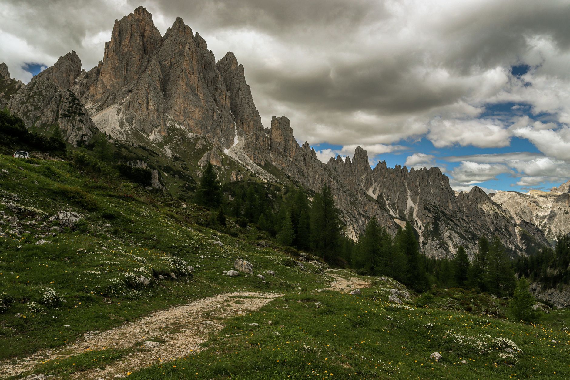
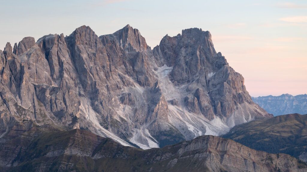
To understand the visual scale of the Dolomites, one must look millions of years back in time. What now stands as an imposing alpine range was originally a vast tropical coral archipelago submerged during the Triassic period. The accumulation of calcareous sediments and marine organism skeletons formed dolomite, a sedimentary rock rich in calcium and magnesium that gives these mountains their characteristic pink and grey hues, which ignite in fiery tones during the phenomenon known as *enrosadira* at sunset.
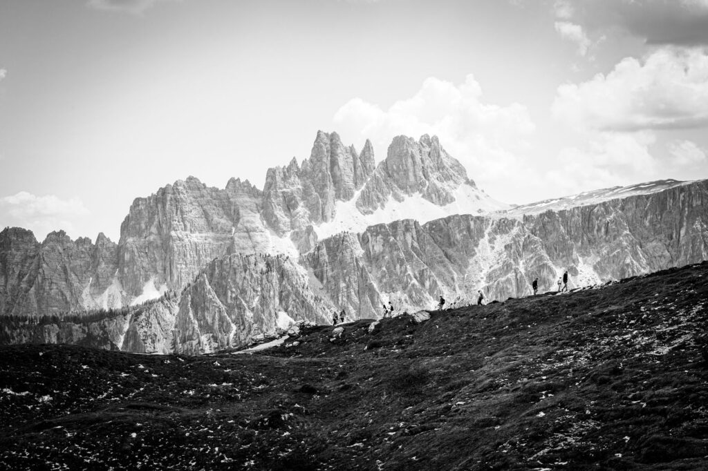
Subsequent glacial activity carved U-shaped valleys and exposed monolithic towers, impregnable walls, and karst plateaus. Throughout the trek, hikers constantly transition between these stone giants. Moving from dense spruce and larch forests to high mountain terrain devoid of upper vegetation reveals a biodiversity adapted to extreme conditions, where marmots, chamois, and rich alpine flora share the space with geological relics.
“The Dolomites are not merely mountains; they are stone cathedrals sculpted by time, where every sunrise paints the rock with fire and every trail tells a story of ancient seas.”
Planning and Expedition Logistics
The ideal season for undertaking the Alta Via 1 spans the summer months, specifically from late June to mid-September. Outside this window, mountain huts remain closed, and weather conditions can become extremely dangerous due to early snowfalls or sudden electrical storms.
The classic design of the route spans between seven and nine stages, averaging five to seven hours of daily marching. The official starting point is the Biella hut or directly on the shores of Lake Braies. From there, the trail heads south through the Fanes massif, the Nuvolau group, Civetta, and the rugged landscapes of Mount Schiara. Logistics require booking accommodations months in advance, as hut capacity is limited and international demand is extremely high during the summer months.
High-Altitude Refuges: Alpine Culture and Hospitality
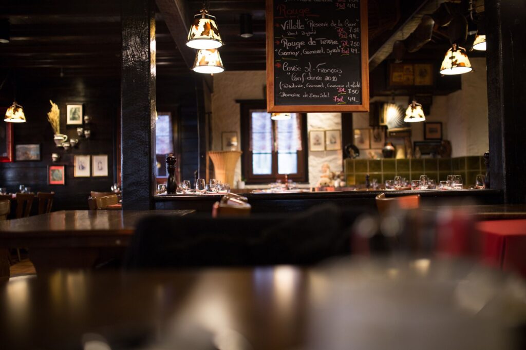
One of the greatest attractions of the Alta Via 1 is the network of *rifugi* (mountain huts) managed by the Italian Alpine Club (CAI) or local families. These establishments are not merely places to sleep, but true centers of alpine culture offering shelter, hot meals, and a space for interaction among hikers from around the globe.
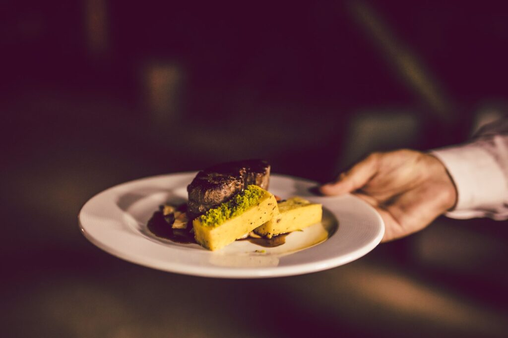
Unlike self-service huts in other mountain ranges, Dolomite rifugi operate as high-altitude inns. They offer half-board options, including hearty dinners based on traditional Tyrolean and Venetian gastronomy—with dishes like polenta, *casunziei* (stuffed pasta), and warm soups—along with an energetic breakfast. Sleeping in dormitories or shared rooms (*camerata*) is part of the immersive experience, demanding respect for others’ rest and meticulous organization of personal luggage.
The Weight of History: Remnants of the Great War
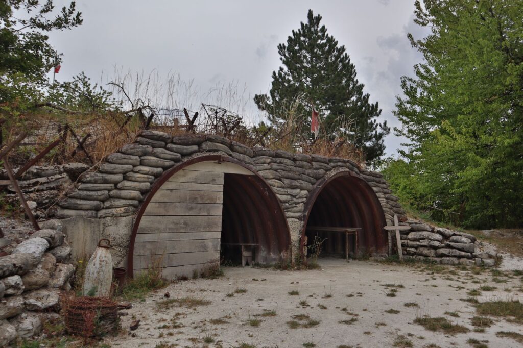
The Dolomites stand out not only for their natural value but also for having been the theater of one of the cruelest fronts of the First World War. Between 1915 and 1917, the summits and ridges of this range were fortified by the Italian and Austro-Hungarian armies in the so-called ‘White War’.
Along the route, it is common to find trenches carved into the rock, underground galleries, observation posts, and disused fortifications. Locations such as the Passo Falzarego or the surroundings of Lagazuoi allow hikers to step inside military tunnels where soldiers’ living conditions were subhuman. Today, walking these paths invites historical reflection, transforming sports hiking into an exercise of memory and respect for those who suffered in these extreme landscapes.
Essential Equipment for the Alta Via 1
Tackling the traverse with confidence requires a strict balance between carrying what is necessary to survive in the mountains and keeping backpack weight to a minimum. The golden rule in modern mountaineering advises that total pack weight should not exceed 15-20% of the hiker’s body weight.
Footwear must be mountain-specific (mid- or low-cut boots with a good gripping Vibram-type sole) and broken in well before starting the route to prevent blisters. Technical layered clothing is mandatory: a breathable base layer, an insulating fleece or mid-layer, and a quality waterproof, windproof shell. Telescopic poles are also indispensable to protect knees during steep descents, alongside category 3 or 4 sunglasses, sunscreen, a first-aid kit, and a water purification system or water bottle.
Safety, Weather, and Navigation
The alpine mountain demands a vigilant attitude. Summer thunderstorms are frequent in the early afternoon hours, so the daily objective should be to start marching at dawn and reach the hut before noon. Staying informed about local weather forecasts is a mandatory task every evening at the refuge.
Although the Alta Via 1 is marked with red-and-white paint flashes and the number 1 painted on rocks and trees, it is essential to carry updated topographic maps (1:25,000 scale) and have the route downloaded digitally on a GPS device or smartphone with an external battery. In case of emergency, the mountain rescue number in Italy is 118, operational twenty-four hours a day.
Environmental Preservation and Sustainability
The massive surge of visitors to the Dolomites during the summer season has placed significant environmental pressure on highly fragile ecosystems. Trail erosion, waste management, and water consumption at altitude are critical challenges for local administrations and hut managers.
The code of conduct for responsible hikers in the Dolomites is strict: everything carried up the mountain must be carried back down, including wrappers and organic waste. Camping outside authorized zones and the immediate surroundings of huts is prohibited. Furthermore, hikers must avoid straying from marked paths to protect endemic flora and prevent trampling fragile alpine meadows.
“True adventure in the high mountains is measured by the invisible footprint we leave on the landscape; walking with respect is the only way to ensure these trails endure.”
Practical Guide: Itinerary, Access, and Budget
Logistical planning for the Alta Via 1 begins long before lacing up hiking boots. Below are the key aspects for successfully structuring the expedition:
How to Get to the Starting Point
The main access to Lake Braies (Pragser Wildsee) is from the towns of Niederdorf (Villabassa) or Toblach (Dobbiaco) in the Pusteria Valley. Regular buses operate from the railway stations of both towns during the summer months. The nearest international airport with good railway connections is Venice Marco Polo or Innsbruck (Austria).
Estimated Budget
The daily cost per person on a half-board basis (dinner, overnight stay, and breakfast) in the huts ranges between 65 and 90 euros, depending on the establishment’s category and whether staying in a dorm or private room. To this must be added the cost of midday meals (usually at route huts), drinks, public transport, and technical equipment. Carrying cash is strongly recommended, as many high-altitude refuges do not accept credit cards due to lack of stable network coverage or data connection.
Indicative Breakdown of Alta Via 1 Stages
- Stage 1: Lake Braies to Biella Hut (approx. 3.5 hours, 900 m positive elevation gain).
- Stage 2: Biella Hut to Fanes or Lavarella Hut (approx. 4.5 hours, moderate ascents and descents).
- Stage 3: Fanes Hut to Scotoni or Lagazuoi Hut (approx. 5 hours, passing historical war zones).
- Stage 4: Lagazuoi Hut to Nuvolau or Averau Hut (approx. 4 hours, exceptional panoramic views).
- Stage 5: Averau Hut to Città di Fiume or Staulanza Hut (approx. 5 hours, skirting Mount Pelmo).
- Stage 6: Staulanza Pass to Vazzoler or Coldai Hut (approx. 6 hours, beneath the walls of Civetta).
- Stage 7: Coldai Hut to Pian de Fontana Hut (approx. 6.5 hours, more rugged and solitary terrain).
- Stage 8: Pian de Fontana Hut to Pramperet Hut and descent to La Pissa / Belluno (approx. 5 hours).