
The Geographical Transformation of an Oceanic Frontier
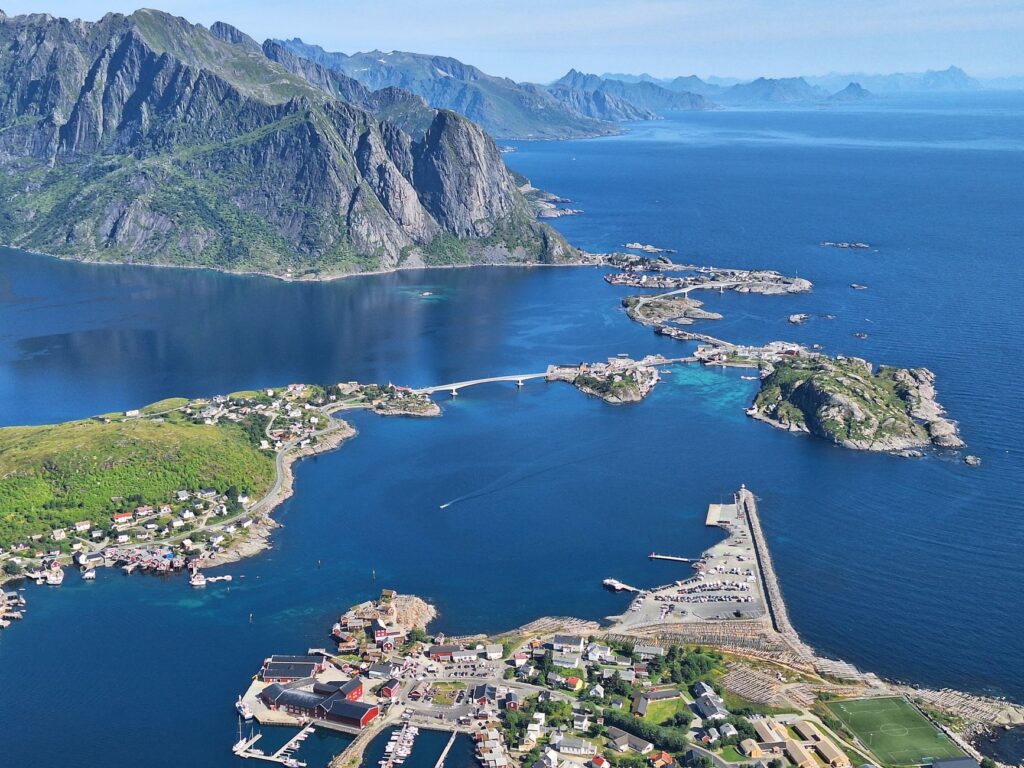
The Lofoten archipelago, situated off the northwestern coast of Norway well above the Arctic Circle, has historically challenged the logic of human settlement. Separated from the mainland and from one another by deep tidal channels, fierce currents, and alpine peaks plunging sheer into the sea, these islands survived for centuries under the absolute rule of rowing, sailing, and seafaring expertise. Connectivity depended entirely on the skill of local fishermen and rudimentary mailboats braving the tempestuous Vestfjorden. Today, however, the territory boasts one of the boldest road infrastructure networks on the planet, where isolation has been systematically combated through an unprecedented deployment of arched bridges, undersea tunnels, and elevated causeways that transform travel into an experience of seamless territorial continuity.
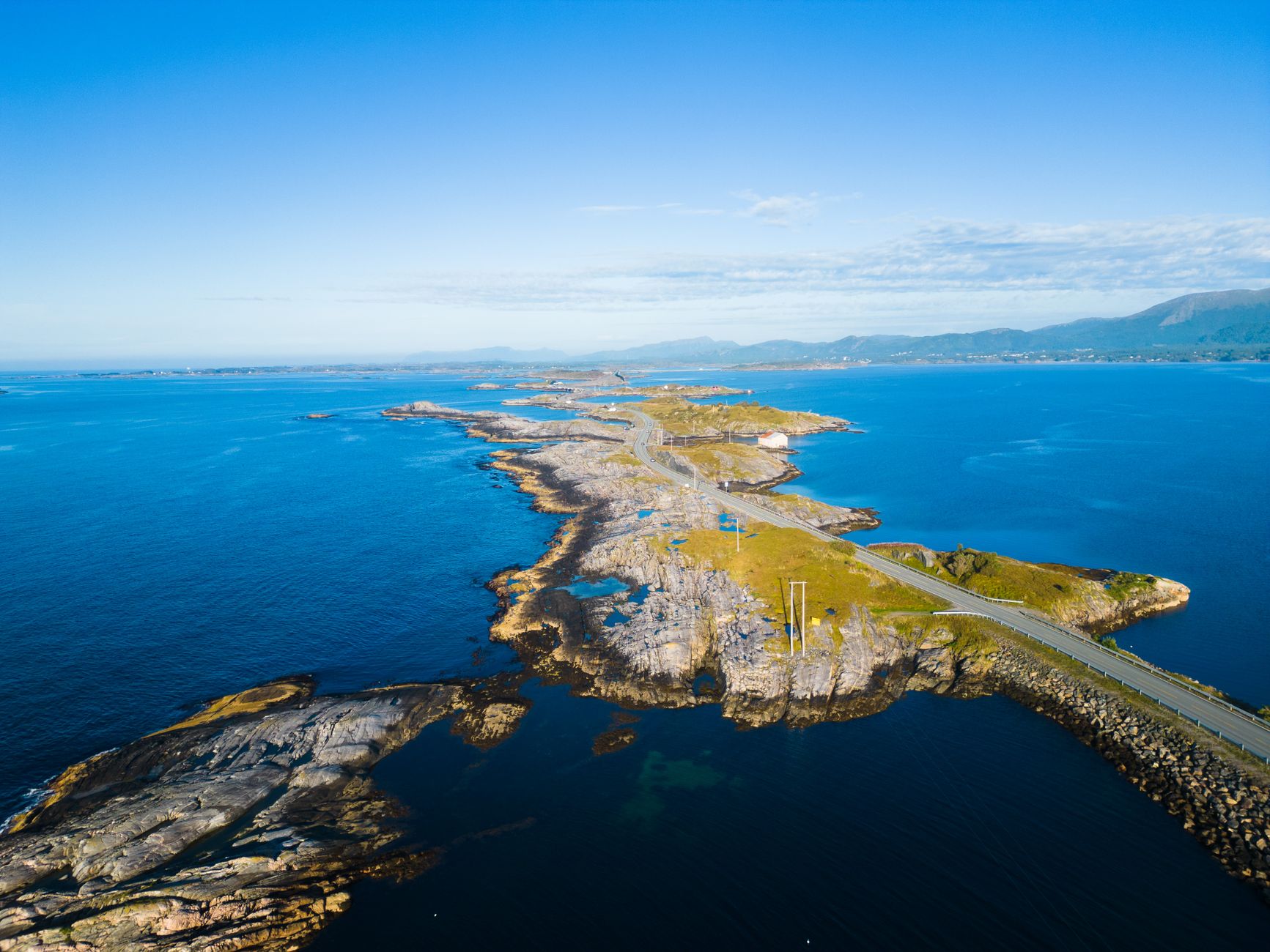
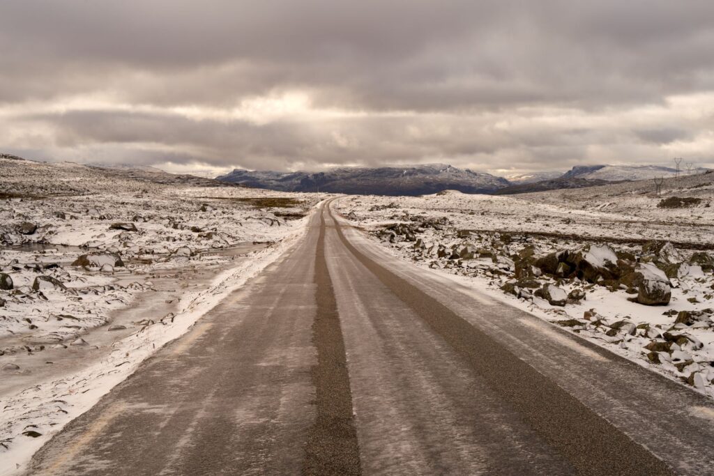
Understanding this mutation requires examining the backbone role of the E10 Highway, popularly known as King Olav’s Road. This asphalt artery stitches the main islands together—from Hinnøya all the way to Å—over a stretch of more than one hundred and sixty kilometers, turning a fragmented archipelago into a continuous mobility corridor. Norwegian authorities and civil engineers have had to contend with extreme weather conditions, gale-force northern winds, and unstable slopes. Each newly inaugurated section has not only shortened physical distances but has fundamentally redefined the local economy, enabling fresh cod from drying racks to reach continental logistics hubs in hours rather than days.
The Boldness of Bridges: Bridging Marine Chasms
The architectural landscape of Lofoten is punctuated by milestones of modern civil engineering that engage in a striking visual dialogue with the surrounding geology. Among them, the Gimsøystraumen Bridge and the iconic Fredvang bridge system stand out for their slenderness and structural audacity. These suspension and cantilever links span spans carved out by formidable tidal currents, where water rushes with the velocity of a narrow alpine river. Crossing them by vehicle or on foot reveals how human technique adapts to topography without entirely subduing it, utilizing galvanized steel profiles and reinforced concrete capable of withstanding the crushing pressure of sea ice and winter storms.
blockquote>Road architecture in the Arctic does not seek to conquer nature, but rather to trace a silver thread over its fury so that community life remains unbroken beneath the storm.
Unlike major continental highways, these structures prioritize landscape integration and safety against lateral winds. Engineers incorporated specialized damping systems and clearance profiles that allow simultaneous passage for road traffic and traditional fishing vessels. Far from being mere transit conduits, these bridges act as public viewpoints suspended over the Norwegian Sea, where travelers experience a fleeting sensation of weightlessness before plunging back into the dark rock labyrinth of the fjords.
Subsea Tunnels and the Mastery of the Oceanic Depths
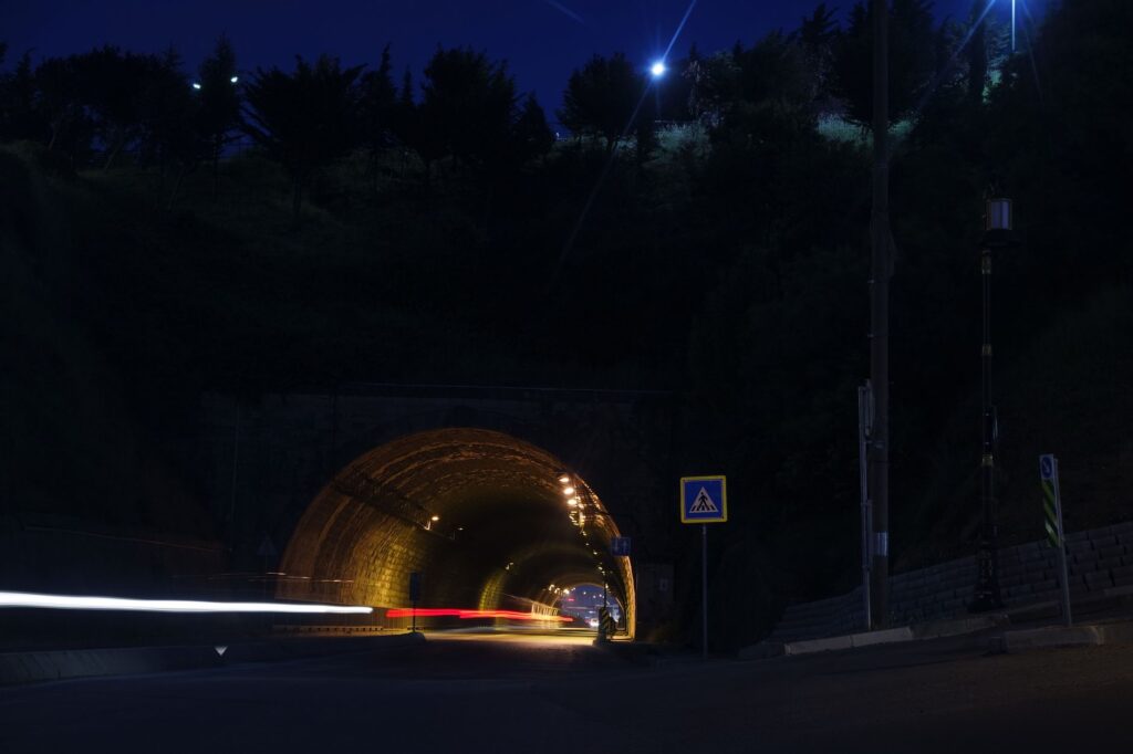
Where the marine surface widens too much or navigation conditions prove impracticable, Norwegian civil engineering has descended beneath the ocean floor. Lofoten’s subsea tunnels, such as the link connecting Ballstad to Leknes or the subterranean access points of Moskenes, represent feats of tunneling through fractured rock and glacial sediments. These asphalt tubes plunge dozens of meters below sea level with steep gradients, requiring drivers to maintain rigorous attention alongside complex ventilation and drainage systems designed to prevent saltwater accumulation and black ice formation.
The gradual replacement of old ferry lines by these fixed subsea links has sparked ongoing debate among residents and public managers. While subterranean connectivity guarantees schedule predictability and eliminates dependence on storms that once suspended boat crossings, it has also transformed the travel experience. Transit through the tunnel temporarily erases the exterior geography, immersing the traveler in technical gloom before depositing them back into the dazzling horizontal light of the archipelago. It is the modern price of logistical certainty in an environment once governed by climatic caprice.
The Seafaring Pulse: Shelter Harbors and Cabotage Networks
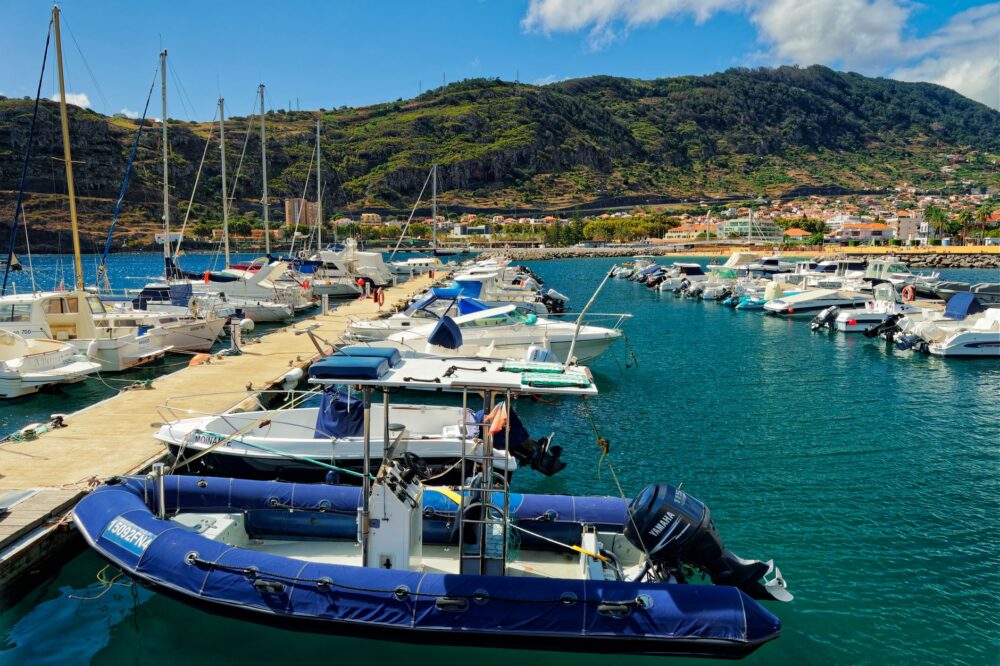
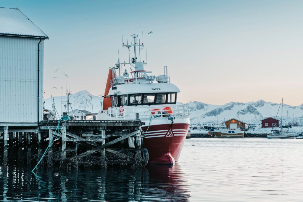
Despite the expansion of the road network, the sea continues to beat at the economic and social heart of Lofoten. Historic ports like Svolvær, Kabelvåg, and remote Reine remain vital nodes where coastal fishing, freight traffic, and recreational boating converge. These natural shelters, protected by cyclopean stone breakwaters and glacial reefs, maintain frantic activity during the winter season when deep-sea fleets return with holds brimming with skrei—the coveted migratory Arctic cod.
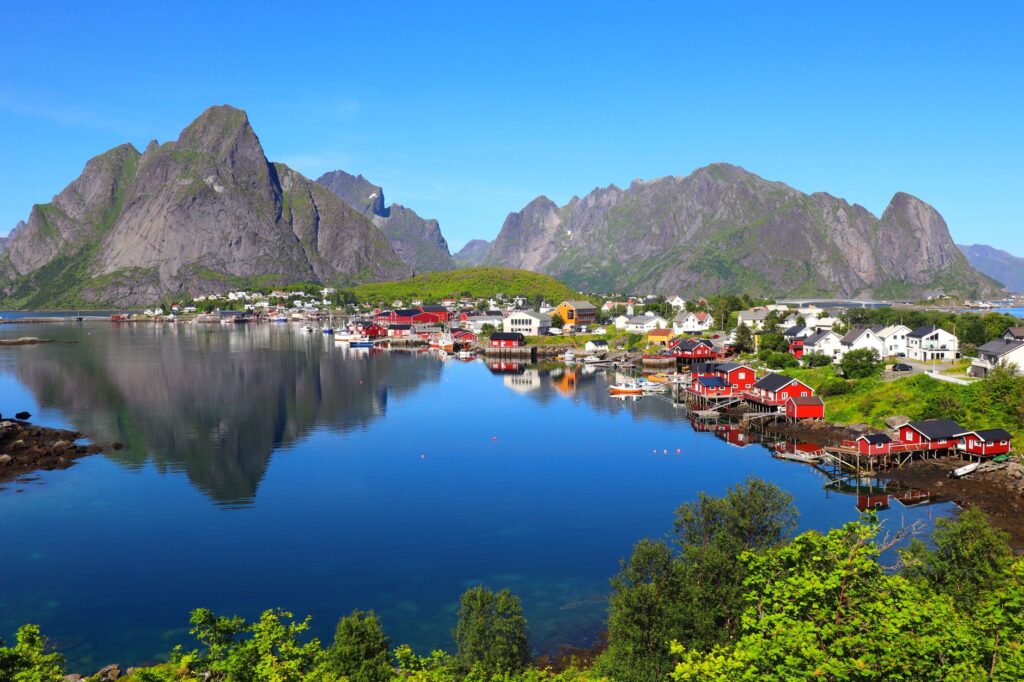
Modern port infrastructure has adapted to the stringent demands of sustainable maritime transport, incorporating shore power charging points for hybrid vessels and waste management systems aligned with Norway’s strict environmental standards. Traditional wooden fish-drying structures, the iconic *rorbuene*, coexist today with automated landing cranes and reinforced concrete docks. This duality reflects the archipelago’s capacity to modernize its logistical backbone without relinquishing the industrial aesthetics that have defined its maritime identity since the nineteenth century.
Island Public Transport and Shared Mobility
Navigating the archipelago without a private vehicle requires understanding the intricate articulation of intercity bus lines and high-speed passenger boat services. Operated under strict public concessions, routes run by the regional transport company connect every populated hub, carefully coordinating schedules with ferry links heading south to Bodø on the mainland. Norwegian punctuality is tested here daily, where a rockslide or a severe storm warning at the Nusfjord pass can force the immediate redrawing of student, worker, and visitor transit logistics.
blockquote>Public transport in this northern frontier is not merely a mobility service; it is the invisible pulse that ensures the smallest villages keep their schools open and their ties to the outside world alive.
In recent years, local administrations have promoted shared mobility initiatives and the intensive use of cold-weather-adapted electric bicycles, fostering low-impact tourism. Slow-transit lanes running parallel to the E10 allow cyclists to navigate protected stretches, though harsh weather and physical demands continue to reserve this option for seasoned expeditioners. The system’s cornerstone lies in multimodality: the seamless capacity to transition from bus to ferry and onward to the pedestrian trail network without bureaucratic friction.
Logistics and Supply Chain Operations in Extreme Conditions
Ensuring the continuous supply of food, fuel, and medical provisions to a dispersed population living on islands separated by open sea represents a permanent logistical challenge. Heavy-duty freight trucks traversing the E10 must negotiate narrow mountain passes where snow chains are mandatory for at least six months of the year. Automated service stations and strategically located distribution hubs in Leknes act as secondary logistics lungs, ensuring local store shelves do not face shortages even when winter gales isolate communities for days on end.
The digitalization of transport fleets and satellite monitoring of road conditions have drastically optimized emergency response times during weather disruptions. Highway authorities deploy temperature sensors in bridge asphalt to predict ice formation before it becomes visible, deploying salt trucks with millimeter-scale anticipation. This symbiosis between cutting-edge technology and operational rigor ensures that Lofoten’s extreme insularity does not translate into vulnerability, allowing residents to inhabit one of the planet’s most stunning and hostile natural environments with welfare standards comparable to any major European metropolitan area.
Practical guide
- Getting There: The primary access point is flying into Evenes Airport (EVE) and renting a vehicle, or taking the scheduled ferry connecting Bodø to Moskenes or Svolvær.
- When to Visit: For road exploration and general travel, months between May and September offer continuous daylight and lower risk of road closures due to snow. Winter (February–April) requires verified winter driving experience.
- Vehicle Rental: It is essential to book a car equipped with proper winter tires and four-wheel drive if traveling between October and April.
- Road Conditions: Always consult the official Norwegian portal *Vegvesen* for real-time weather alerts, tunnel closures, and wind-exposed bridge restrictions.
- Environmental Respect: Wild camping outside designated areas along the E10 route and fragile coastal ecosystems is strictly prohibited.
The Final Echo of Sea and Rock
Contemplating the Arctic twilight from the westernmost tip of Å, where the E10 highway reaches its abrupt end over wave-lashed cliffs, leaves an indelible imprint on the traveler. There, where asphalt yields its final claim to the oceanic abyss and gulls wheel above racks of drying cod, the sheer magnitude of the human effort woven across this archipelago becomes crystal clear. Lofoten is no longer an isolated territory of fishermen cut off by storms, but a living monument to the tenacity of engineering and a profound respect for a marine landscape that, bridges and tunnels notwithstanding, retains its indomitable and wild dignity.