The Iron Route Under the Imperial Sun
The territory stretching from the highlands of Amman to the holy city of Medina has historically served as an unforgiving transit corridor. Crossing this desert demands not only physical endurance, but a deep comprehension of the railway engineering that defied geography at the dawn of the twentieth century. Originally conceived to connect Damascus with the Arabian Peninsula, the Hejaz Railway stands today as a monumental vestige of the Ottoman era and a formidable logistical challenge for contemporary explorers seeking to retrace its narrow-gauge tracks.
Unlike traditional trade routes traversed by camel caravans, the railway line cut a straight path across gravel plains, sandstone canyons, and seas of dunes. Analyzing this corridor today involves untangling the preservation state of its limestone stations, the viability of specific sections for parallel overland expeditions, and the security protocols required to venture into the most remote zones of the Amman desert and the Ma’an region.
Forgotten Infrastructure in the Sands of Amman
The starting point for any rigorous approach to this railway system is the central station in Amman. Built with carved stone blocks and a design fusing Ottoman architecture with European industrial functionality, this terminal preserves part of its original layout, including maintenance workshops and former steam locomotive sheds. From this hub, the track historically descended southward, winding across the Jordanian plateau before plunging abruptly toward the depression of the Great Rift Valley.
For expedition members and transport technicians, observing the dead tracks in the suburbs of Amman reveals the initial construction challenges. Adopting a 1,050-millimeter gauge responded to criteria of economy and speed of military deployment, a characteristic that today conditions any tourism rehabilitation proposal or field historical analysis. Inspections of urban and peri-urban segments document the impact of urban expansion on the original layout, a phenomenon that has fragmented the physical continuity of the line at several critical points.
Engineering Challenges in the Open Desert
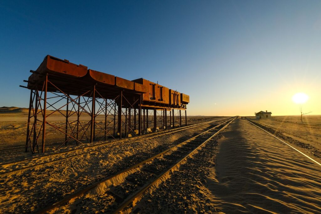
As the route pushes southward, leaving the relative protection of the plateau to reach the vast expanses of Ma’an, railway engineering faces its sternest test: the mobility of sands and the violence of seasonal flash floods, locally known as wadis. Ottoman engineers, advised by European experts, designed hundreds of masonry bridges and culverts to channel torrents descending from the mountains during the brief winter months.
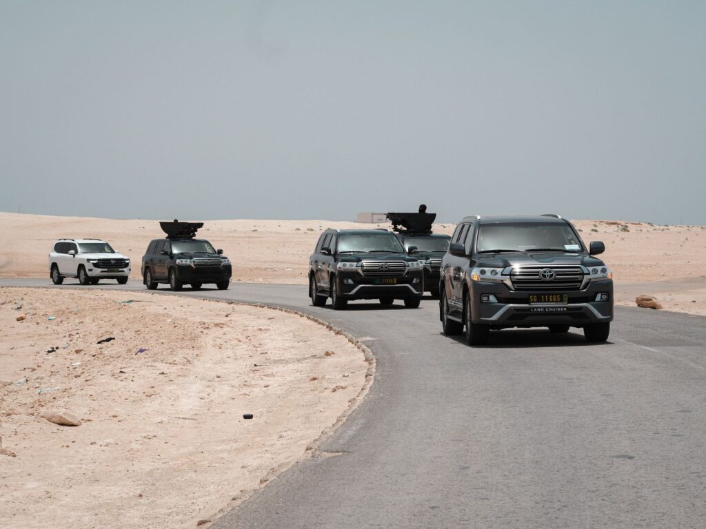
An analysis of these structures reveals a remarkable mastery of dry-stone masonry and round arches capable of supporting the dynamic load of heavy trains despite constant wind erosion. However, the prolonged abandonment of the infrastructure has caused severe undermining of foundations across many of these bridges. Expeditionaries traversing the parallel route in four-wheel-drive vehicles must exercise extreme caution when crossing dry riverbeds beneath historical viaducts, where loose sediment accumulation represents a constant operational hazard for any support convoy.
Logistics and Survival in Outposts
Water and fuel procurement constituted the Achilles’ heel of the Hejaz Railway during its operational era. Lacking reliable natural water sources along the desert route, the system relied on a meticulously planned network of cisterns, underground reservoirs, and pumping stations fueled by imported coal. Replicating this logistical self-sufficiency in a modern overland expedition demands a meticulous calculation of water resources and strict redundancy in satellite communication systems.
The former stations, standing as solitary milestones amid the mineral horizon, act as essential geodetic reference points for navigation. The distance between these fortified complexes frequently ranges between fifteen and twenty kilometers, the maximum autonomy steam locomotives required to replenish their boilers. For modern travelers, these facilities offer indispensable shelter against extreme thermal swings, characterized by intense solar heat by day and freezing nights on the desert plateaus.
Terrain Rhythm and Parallel Navigation
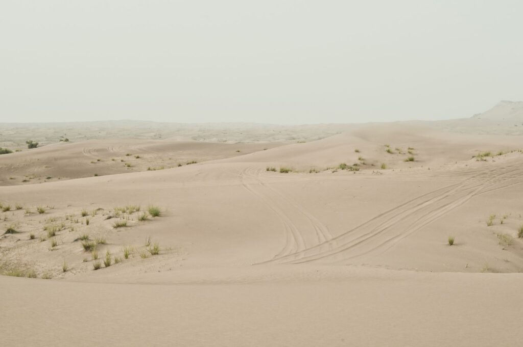
Traveling alongside the railway alignment requires understanding the shifting topography of the Arabian terrain. From basaltic lava fields known as Harrat al-Sham to white sandstone formations anticipating the Tabuk region, geological variety dictates the pace of advance. The average speed of a support vehicle rarely exceeds twenty-five kilometers per hour in sections where tracks have been dismantled or buried by rock slabs and mobile dunes.
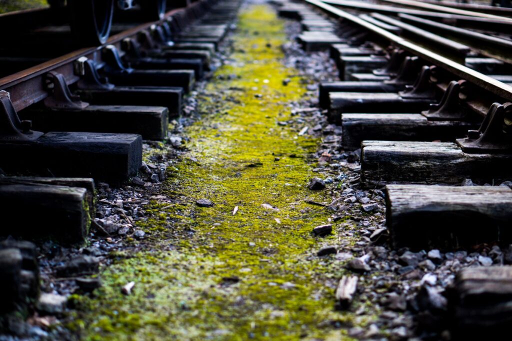
blockquote>The desert tolerates no technical improvisation; every piece of petrified wooden tie and every oxidized fishplate on the ground stands as a reminder of a titanic endeavor that underestimated the relentless erosion of time and wind.
This reality imposes a methodical marching rhythm, requiring daylight-only scheduling to avoid mechanical breakdowns in isolated areas. Cartographic reading must be complemented by barometric altimeters and dual-band GPS receivers, given that cellular signals vanish entirely within a few kilometers of the primary paved desert highways running parallel.
Military Architecture and Fortified Stations
A distinctive aspect of this railway route is the defensive nature of its facilities. Due to constant threats of sabotage by local tribes during the Arab Revolt, every Hejaz station was conceived as a self-sufficient military blockhouse. Main buildings feature thick stone walls, upper-story firing slits, and, in many cases, angular watchtowers designed to repel rifle-fire attacks.
Architectural analysis of these railway fortresses reveals a standardized construction typology repeated every few dozen kilometers, ensuring an interconnected defense line. For researchers and specialized travelers, documenting the condition of these bastions clarifies the complex relationship between central Ottoman authorities and nomadic desert communities, a latent conflict that ultimately doomed the railway project before achieving fully profitable, long-term commercial operation.
Border Approach and the End of the Line
As the journey approaches the southern limits of the Jordanian region and the northern gates of Saudi Arabia, the sheer scale of the desert expanse becomes overwhelming. In this belt, tracks frequently vanish beneath blankets of aeolian sand, forcing expeditionaries to base their progression on the visual alignments of original telegraph poles, whose copper wires vanished decades ago but whose galvanized iron brackets continue pointing south.
Managing transit permits and coordinating with local authorities are critical phases of this journey. Access restrictions to protected archaeological sites and border zones demand rigorous bureaucratic processing months in advance. Administrative inflexibility in these sectors underscores the necessity of hiring local Bedouin guides familiar with alternative traditional tracks in case of temporary route closures or unexpected military checkpoints.
Practical guide
Planning and permits: Expeditions along the historical Hejaz corridor require specific authorizations issued by the Jordanian Ministry of Tourism and Antiquities, alongside special transit permits granted by local governorates if operating near military or border zones. Initiating paperwork at least ninety days in advance is strongly advised.
Vehicle logistics and fuel: Utilizing properly equipped 4×4 vehicles with dual fuel tanks, reinforced suspension systems, air compressors, tow straps, and a minimum of three spare tires is mandatory. Conventional service stations vanish less than thirty kilometers off the primary desert highway.
Water management and nutrition: Each expedition member must carry a minimum of six liters of potable water daily, supplemented by self-heating emergency rations for at least four additional days. Emergency ultraviolet water purification devices or reverse osmosis filters are indispensable.
Communications and safety: Conventional mobile phones prove useless across vast stretches of the route. Carrying an active two-way satellite communicator (such as a Garmin InReach or equivalent) and an Iridium satellite phone is mandatory. A daily position-reporting protocol must be established with a support base in Amman.
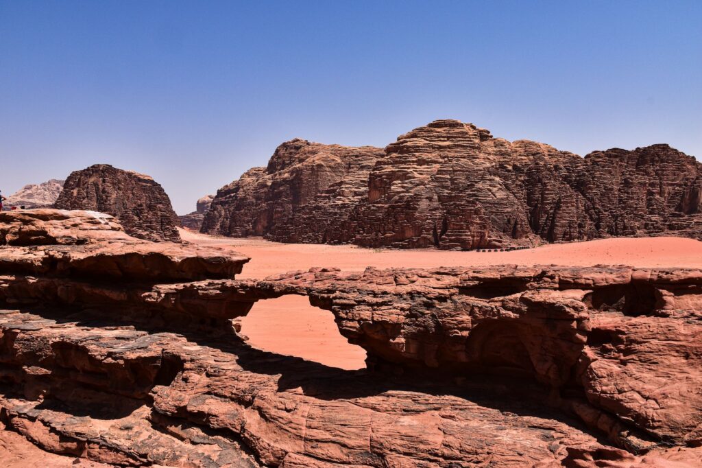
Recommended season: The optimal window for undertaking the traverse spans from late October to early March. During summer months, daytime temperatures consistently exceed forty-five degrees Celsius, turning any mechanical failure into a life-threatening emergency.
The Perpetual Silence of Rails on the Horizon
At the end of the journey, when twilight paints the gravel plains ochre and violet, the presence of the dead track assumes an almost metaphysical dimension. The human effort invested in raising this iron colossus out of nowhere contrasts with the passivity with which the desert has reclaimed its territory, devouring embankments and burying locomotives beneath tons of silent sand.
blockquote>Contemplating the rusted silhouette of a railway siding leading to nowhere serves as the ultimate reminder that true adventure lies in attentively reading the traces time leaves upon the face of the earth.
This expeditionary experience seeks neither comfort nor speed, but rather an archaeological and geographical comprehension of a linear monument cutting across the contemporary history of the Middle East. For the prepared traveler, the Hejaz Railway remains one of the purest lessons in exploration documentable on the surface of the planet today.