Nepean does not appear in the usual Canadian itineraries. Visitors who come to Ottawa for Parliament, the Rideau Canal or the museum of civilizations seldom notice this former city in the southwest, now part of the municipality of Ottawa, in the province of Ontario. And yet Nepean holds one of the keys to understanding how everyday life is built in Canada’s metropolitan surroundings: a suburb that stopped being an appendix and became a territory with a memory of its own.
With around 180,000 inhabitants and an average elevation close to 87 metres, Nepean stretches across a gently rolling plain that descends towards the Ottawa River. Its English name shares an administrative history with the federal capital, but its landscape is different: neighbourhood shopping centres, schools, snow parks in winter, tree-lined streets and a network of trails connecting the suburbs to the riverbank. This report proposes looking at Nepean not as a place to pass through, but as a territory where heritage, local identity and the visitor’s responsible choices intertwine in a discreet yet verifiable way.
A geography of plain and river
Nepean sits on the western edge of Ottawa, in an area where the St. Lawrence plain meets the lowlands of the Ottawa River. The relief is modest, without major features, and that partly explains its development: the terrain favours residential expansion, wide avenues and the installation of services. The Ottawa River, which marks the northern boundary of the former municipality, has historically been an axis of transport, trade and settlement.
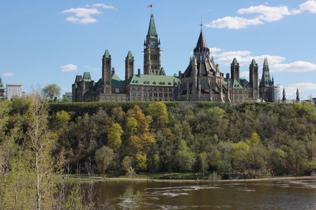
The coordinates of the place, 45°20′ north latitude and 75°43′ west longitude, place Nepean in a climate zone of long winters and short summers, with a spring that quickly transforms the landscape and an autumn that turns the parks into a palette of ochres. That marked seasonality shapes daily life: school calendars, outdoor activities, street maintenance and the very idea of community revolve around the cycle of the seasons.
From rural municipality to metropolitan piece
The history of Nepean is that of an administrative and urban transformation that accelerated in the second half of the twentieth century. From a past linked to agriculture and small family farms, the territory became part of Ottawa’s growth, first as an independent municipality and later, in 2001, as part of the amalgamated city. That process did not erase all earlier traces: country houses, old roads and a local memory preserved in archives, neighbourhood associations and small community museums remain.
For the visitor, that historical layer does not appear as a great monument, but as a fabric of details: a restored farm, an old bridge, a commemorative plaque on a corner. Reading the landscape requires patience and curiosity, because Nepean does not offer a compact historic centre, but a succession of neighbourhoods with their own character.

Nepean’s identity is not concentrated in a single place: it is scattered across neighbourhoods, schools, parks and riverbanks that can only be understood by walking them slowly.
Neighbourhoods that tell different stories
Anyone who travels through Nepean discovers that there is no single Nepean. Areas such as Bells Corners, with their village-like feel inside the city, keep a local commerce and a pedestrian scale that contrast with the large avenues of the south. Other, more residential zones are organised around schools, community centres and parks that work as improvised squares during the warmer months.
That internal diversity is one of the keys to understanding the place. Daily life unfolds in a network of proximity: the supermarket, the library, the ice rink, the trail by the river. Visitors who want to grasp Nepean should give up the idea of a single route and accept a layered visit, stopping in the spaces where the community gathers.
The discreet heritage of a suburb
Nepean’s heritage does not compete with Ottawa’s major attractions, but it has a value of its own. It is heritage on a human scale: mid-twentieth-century school buildings, neighbourhood churches, old farms adapted to new uses, bridges over streams that were once rural roads. The conservation of these elements depends largely on neighbourhood initiative and municipal planning.
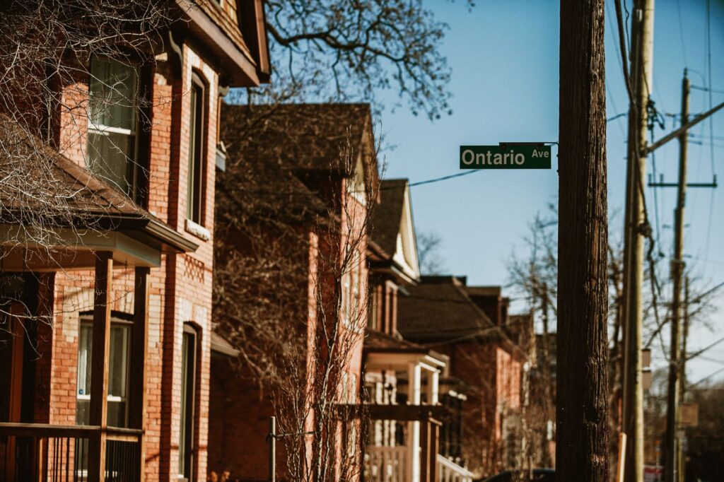
For travellers interested in heritage, the recommendation is to find out before arriving which local associations organise visits or open days. It is not advisable to invent routes or assume that every historic building is open to the public: most are private or community buildings and can only be seen from outside.
Everyday life across the four seasons
If anything defines Nepean, it is the way life adapts to the climate. In winter, ice rinks and cross-country ski trails become social spaces; in summer, parks and riverbanks regain their prominence. That alternation creates a rhythm of its own, different from tourist centres, and forces visitors to plan according to the season.
Daily life is also expressed in neighbourhood food, local markets and the small community fairs held throughout the year. It is not a spectacular scene, but a network of initiatives that sustain the social fabric and offer travellers an authentic look at how life is lived in the Ottawa metropolitan area.

What a responsible visitor can do
Visiting Nepean requires a certain attitude. It is not a destination of great monuments or intensive tours, but a place to observe, walk and respect local rhythms. Some useful guidelines: find out about public transport before arriving, since the bus network connects the neighbourhoods with central Ottawa; check the opening hours of community spaces; and avoid assuming that any historic building can be visited.
It is also worth remembering that Nepean is, above all, a place where people live. Responsible tourism means not intruding on private property, respecting the quiet of residential neighbourhoods and supporting local businesses. That is, perhaps, the best way to get to know a territory defined by its everyday life more than by its landmarks.
A river as border and as bond
The Ottawa River has structured the territory for centuries. For Nepean, it represents both a geographical limit and a link with the rest of the region. Its banks offer trails, viewpoints and recreation spaces that help explain the relationship between the city and the water.

Visitors who approach the river will find a landscape that changes with the seasons and invites contemplation. It is a good place to end a tour of Nepean, because it sums up its character: a territory of transition, between rural and urban, between memory and the present.
Practical guide
- Getting there: Nepean is part of the municipality of Ottawa, in Ontario, Canada. Ottawa International Airport is the main gateway; from there, public transport and the car provide access to the different neighbourhoods.
- When to travel: Each season offers a different experience. Summer and autumn are good for exploring parks and riverbanks; winter requires suitable clothing and offers activities specific to the cold climate.
- What to bring: Comfortable footwear, clothing suited to the season and a respectful attitude towards community spaces.
- Information: It is advisable to consult municipal resources and local associations to learn about activities and spaces open to the public.
- Budget: Nepean is not a destination of major tourist spending; the main expense tends to be accommodation and transport.
A final look
Nepean does not try to seduce with grand gestures. Its interest lies in the human scale, in the way a Canadian suburb has built its identity from everyday life, discreet heritage and its relationship with the river. For travellers willing to look calmly, it offers a lesson in how a territory rarely in the headlines is inhabited.
Perhaps Nepean’s greatest appeal is its honesty: it does not stage its history, it lives it in its streets, its parks and its communities.