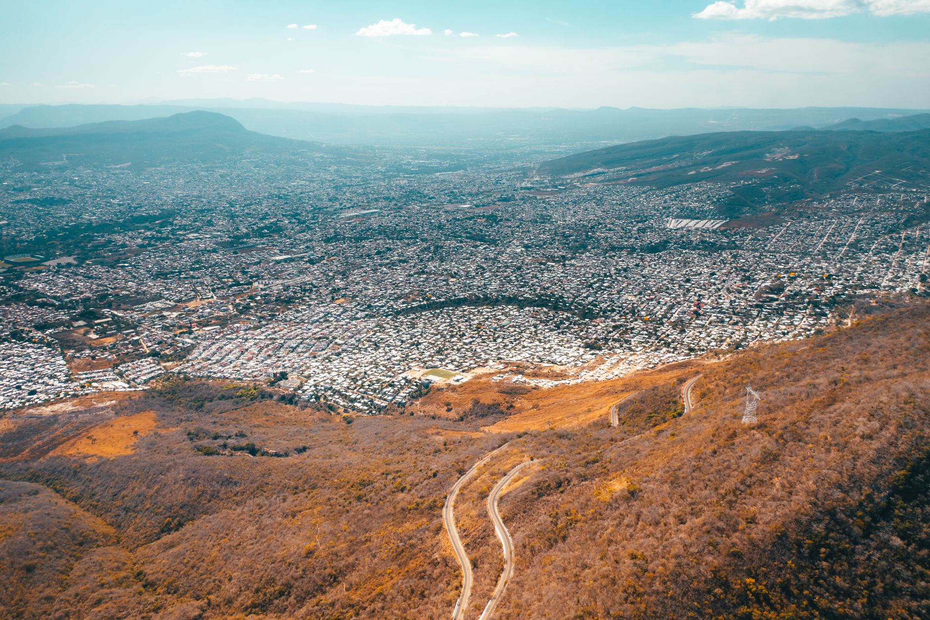

Cuautitlán Izcalli sits at some 2,288 metres above sea level, at the northern edge of the Valley of Mexico, on terrain that for centuries was the bed of lakes and wetlands. Today it is a city of more than half a million people that grew rapidly between the 1970s and 1990s, and it carries an uncomfortable question: how to conserve the water, the soil and the memory of a landscape that urbanisation has been erasing.
The answer is not in one place. It is in municipal urban development plans, in neighbourhood committees that watch over their ravines, in university laboratories that measure water quality and in local authorities trying to order a territory where residential areas, industrial parks and natural protected areas coexist. This report reconstructs that puzzle using public data and verifiable context, without attributing testimonies that have not been documented.
A territory built on ancient lakes
The environmental history of Cuautitlán Izcalli cannot be understood without the Valley of Mexico. Before the conquest, the area formed part of the lacustrine system of the northern valley, fed by springs and by runoff from the Sierra de Guadalupe and the hills surrounding the basin. That memory persists in place names, in the canals that still cross the municipality and in the clay soils that appear whenever the ground is excavated for construction.
Planned urban development arrived in 1971, when the municipality was created as part of a project to decentralise the capital. The original design included large green areas, wide medians and a layout meant to breathe. Over time, growth outpaced the forecasts and conservation zones found themselves surrounded by housing developments, industrial warehouses and roads.
The result is a city of two speeds: neighbourhoods with consolidated services and peripheral colonies where water arrives intermittently and drainage depends on infrastructure that has already outlived its useful life.
Water as the first conservation front
In Cuautitlán Izcalli, talking about conservation means talking about water. The municipality is part of the Cuautitlán-Pachuca aquifer, one of the most heavily exploited groundwater sources in central Mexico. According to public information from the National Water Commission, the area shows a deficit balance: more is extracted than natural recharge can replace.
That imbalance has measurable consequences. Overexploitation of the aquifer contributes to land subsidence, a phenomenon affecting much of the Valley of Mexico and which in the north translates into cracks, differential sinking and damage to the drainage network. Authorities have documented impacts on roads and homes, though the exact magnitude varies by neighbourhood.
Conserving water in the northern valley is not a symbolic gesture: it is a condition for the city to remain habitable.
Against that backdrop, the municipality has promoted reforestation programmes in recharge zones, maintenance of ravines and water culture campaigns. Their effectiveness depends on administrative continuity and neighbourhood participation, two factors rarely sustained without technical backing.
Ravines: heritage defended from the ground up
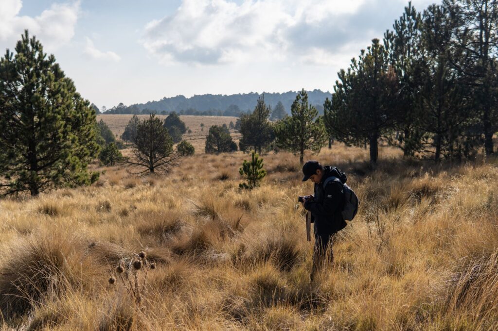
The municipality contains several ravines that function as biological corridors and natural drains. The best known is the Cuautitlán ravine, but the runoff channels descending from the Sierra de Guadalupe and those crossing the industrial zones to the south are equally significant.
These channels have faced constant pressure: irregular discharges, clandestine dumps and occupation of their banks. In response, neighbourhood committees have emerged to carry out periodic clean-ups, document impacts and request municipal intervention. Their work is discreet but verifiable: minutes, photographs and requests filed with the authorities.
- Cleaning of channels and removal of solid waste in urban stretches.
- Reforestation with native species on eroded banks.
- Citizen monitoring of discharges and reporting to environmental authorities.
Conserving ravines is not only an ecological matter. It is also a risk management measure, because an obstructed channel worsens flooding during the rainy season.
Local science to measure what is meant to be protected
Without data there can be no environmental policy. In Cuautitlán Izcalli, universities and research centres across the Valley of Mexico have conducted studies on water quality, land-use change and water vulnerability. Though scattered, that work offers a basis for decision-making.
Publicly available information allows three technical priorities to be identified: aquifer recharge, contamination of channels by urban and industrial discharges, and the loss of conservation land to real-estate expansion. Each requires different instruments: monitoring, regulation and territorial planning.

Science does not replace political decisions, but it makes them verifiable. A conservation programme without a baseline or indicators becomes a statement of intent.
Governance: who decides on land and water
In Mexico, environmental conservation is a shared responsibility. The municipality regulates land use and services; the state government administers natural protected areas; the federal government holds authority over water, hazardous waste and environmental impact assessment. That institutional architecture, necessary as it is, also generates friction.
Cuautitlán Izcalli has planning instruments such as the municipal urban development plan and local ecological land-use programmes. Their effective application depends on the technical capacity of the local government and on citizen oversight.
Environmental governance works when citizens know which office to approach and what they can demand.
In recent years, the municipality has taken part in metropolitan coordination programmes with other local governments in the northern valley, particularly on waste and mobility. Conservation of natural resources, however, still depends largely on local initiatives.
Communities that keep the memory of the landscape alive
The environmental memory of Cuautitlán Izcalli lives in its older residents, who remember the canals, farmland and springs that existed before urbanisation. That memory is not folklore: it is useful information for reconstructing the baseline of ecosystems.
Several cultural collectives in the municipality have documented testimonies about the old landscape, and some schools incorporate environmental education projects linked to local history. These initiatives, modest in scale, help conservation be perceived not as an external imposition but as a continuity with the past.

Food also carries that trace. The municipality’s markets preserve products linked to the basin, such as quelites, seasonal mushrooms and local maize varieties, which depend on soils and climates that urbanisation has reduced.
Waste: the challenge that cuts across everything
Solid waste management is one of the most visible fronts of local sustainability. Cuautitlán Izcalli generates tonnes of rubbish every day that are transported to landfills outside the municipality, with significant economic and environmental costs.
Source-separation programmes and collection centres exist, but their coverage is uneven. Reducing waste requires not only infrastructure but also changes in consumption culture and in the value chain of recyclable materials.
Some neighbourhoods have organised community collection and composting systems, with results that depend on the consistency of participants. These are small but verifiable experiences showing that conservation is also practised at neighbourhood scale.
Green areas and conservation land
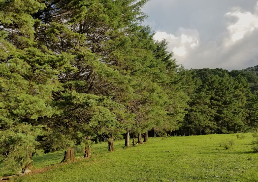
The municipality retains urban parks and environmentally valuable zones that serve recreational and climate-regulation functions. These include the wooded spaces of the centre and the areas bordering the Sierra de Guadalupe.
Conservation land, however, faces real-estate pressure. The expansion of housing developments and industrial warehouses has reduced surfaces that once performed recharge functions. Planning instruments seek to contain that advance, but their application requires inspection and enforcement capacity.
Conserving land is, ultimately, a decision about the model of the city. Every hectare preserved is a hectare that continues to capture water and regulate temperature.
Practical guide
For anyone visiting or living in Cuautitlán Izcalli and wishing to understand its environmental dimension, it is best to start with the territory. The municipality is best explored with time and curiosity about its contrasts.
- Getting there: from Mexico City, the main connections are the Mexico-Querétaro motorway and roads such as Avenida Primero de Mayo and Periférico Norte. Public transport includes suburban buses and the suburban rail system with stations along the northern corridor.
- What to observe: the ravines and urban parks offer a reading of the original landscape. Municipal markets allow visitors to discover seasonal local produce.
- When to go: the rainy season, between June and September, transforms the landscape and reveals how the channels behave. The dry season, from November to April, makes walking more comfortable.
- Precautions: the municipality records security and traffic problems during peak hours. It is advisable to check local sources before exploring peripheral areas.
- Participation: residents can join neighbourhood committees, clean-up days and environmental education programmes.
The altitude, close to 2,300 metres, requires adaptation for those arriving from lowlands. The temperate, mostly dry climate makes visiting easy, though nights can be cold.
What is at stake
Cuautitlán Izcalli is not an exceptional case in the Valley of Mexico, but it is a clear example of the tension between urban growth and conservation. Its aquifer, its ravines and its conservation land are finite resources sustaining the daily life of more than half a million people.
The lesson emerging from its recent history is that conservation depends on no single actor or single measure. It requires science, capable institutions, informed communities and a citizenry that understands the water reaching its home has an origin and a limit.
In a territory built on ancient lakes, caring for water and land is also a way of remembering what the city was and deciding what it wants to remain.