
Origins and Geography of British Columbia’s Marine Frontier
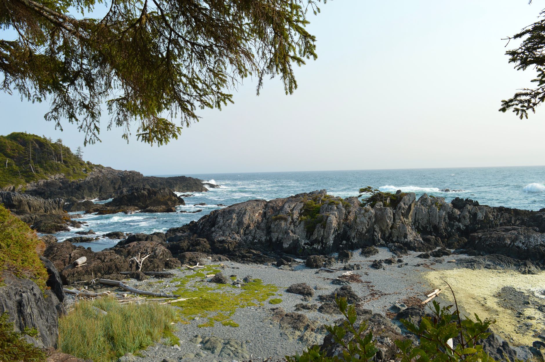
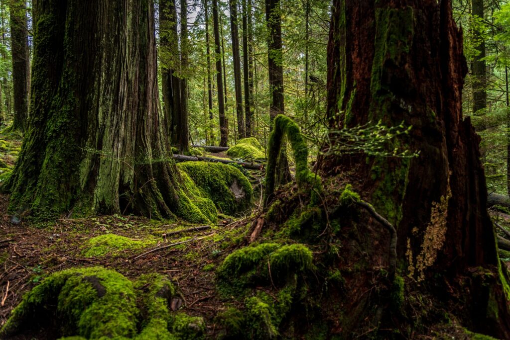
Originally conceived in 1907 as the Wreckers’ Road following the tragic shipwreck of the steamship SS S.S. Valencia against the reefs of Pachena Point, the West Coast Trail represents one of the most demanding and celebrated backpacking itineraries on the American continent. Located on the southwestern margin of Vancouver Island, this seventy-five-kilometer route runs along an unforgiving coastline where the Pacific Ocean relentlessly pounds ancient rock formations, boulder-strewn beaches, and dense temperate rainforests dominated by Douglas firs, giant cedars, and Sitka spruces.
Far from constituting a recreational stroll, the route requires a deep understanding of marine dynamics and the rustic engineering deployed by Parks Canada. Every kilometer of the traverse tests the physical and mental resilience of the hiker, confronting them with notoriously unpredictable weather conditions and terrain where constant humidity is the undisputed norm. The topography is characterized by a rugged relief interrupted by fjords, estuaries, and river gorges that demand the constant use of suspended wooden infrastructure and rudimentary mechanical transport systems.

Terrain Logistics: Boardwalks, Ladders, and River Ferries
Progress along the West Coast Trail is conditioned by a network of over one hundred suspension bridges, thousands of meters of wooden walkways known locally as boardwalks, and a dizzying series of vertical wooden and aluminum ladders bridging the elevation gaps between cliffs and beaches. These structures, exposed to the elements and the intense organic decomposition of the rainforest, become extremely slippery surfaces when morning fog or persistent precipitation sets in. Progression requires footwear with high-traction outsoles and absolute mastery of balance under heavy backpack loads.
One of the most unique logistical elements of the route is the river crossings via cable car or boat, operated by authorized local partners at critical points such as the Nitinat River. These installations allow hikers to overcome powerful tidal currents without compromising physical safety. Coordination with the operating hours of these transport stations is a decisive factor in daily planning, as an unforeseen delay can critically alter estimated trekking times required to reach authorized campsites before nightfall.
The Tyranny of Tides and the Labyrinth of Coastal Reefs
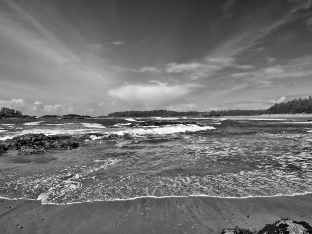
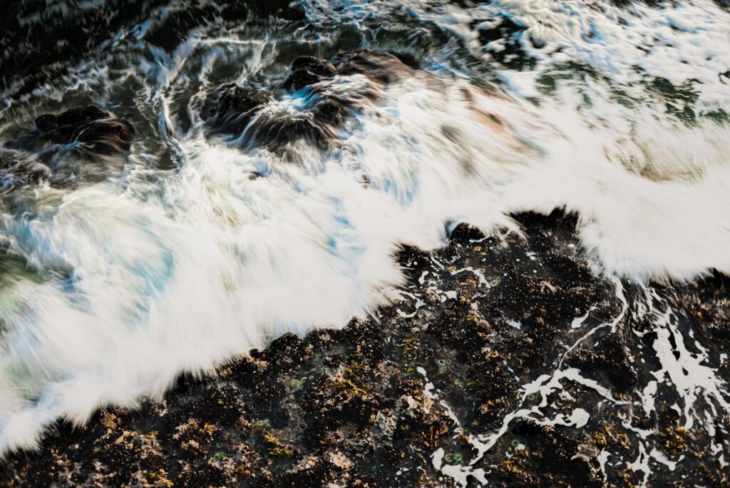
When the trail leaves the interior forest to descend into the intertidal zone, the route transforms into an intricate labyrinth of seaweed-covered rocks, tide pools, and sandbars that are only passable during low tides. The region’s official tide tables are not merely a recommendation, but a vital safety document whose misinterpretation can leave the expeditionary trapped against vertical cliffs with no terrestrial escape route. Planning each day according to the lunar cycle is a mandatory exercise to avoid extreme risk situations caused by rapidly rising sea levels.
In addition to the technical difficulty of walking over slippery and destabilizing surfaces, the coastline exposes the traveler to the elements without intermediate barriers. Westerly winds blowing directly from the Gulf of Alaska generate a severe microclimate where temperatures can drop sharply even during summer months. Protecting electronic equipment, spare thermal clothing, and sleep systems against the infiltration of salt water and ambient moisture is an absolute priority during every single day of marching.
The Pacific coast does not negotiate with the hiker’s haste; it demands synchronizing every step with the ancient rhythm of the tides and the unyielding pulse of the temperate forest.
Wildlife of the Continental Margin: Bears, Wolves, and Respectful Coexistence
The biological corridor traversed by the trail is the natural habitat of significant populations of black bears, coastal wolves, and cougars, species that constantly interact with the marine environment in search of food. Sightings of wildlife are part of the daily experience, imposing strict protocols for storing food in airtight containers provided by park management and the mandatory carrying of accessible deterrent pepper spray on load harnesses.
The management of organic waste and absolute respect for seabird sanctuaries and aquatic mammal habitats, such as seals and sea lions resting on rocky promontories, are fundamental principles of Leave No Trace ethics within the area. Hikers must assume they are moving as temporary guests in a fragile ecosystem where any alteration of local wildlife behavior can carry severe consequences for both human safety and the long-term conservation of the reserve’s biodiversity.
Self-Sufficiency and Weight Management in an Isolated Environment
Being a linear traverse with no commercial resupply points between kilometer zero and the final exit point, every participant must carry all necessary provisions, fuel, water purification systems, and emergency gear required to complete a six- to eight-day expedition. Selecting ultralight equipment becomes an indispensable technical discipline to minimize joint injuries and accumulated fatigue in knees and ankles caused by constant impacts on ladders and uneven rock and root terrain.
Sourcing safe drinking water requires special attention. Although streams and rivers abound along the route, water carries a high load of organic matter and tannins from the forest’s plant decomposition, alongside microbiological risks associated with wildlife presence. Hollow-fiber membrane filtration systems combined with chemical treatments or ultraviolet light devices guarantee the safe potability of water resources, a critical element for maintaining optimal physical performance during continuous marching conditions under extreme humidity.
Practical guide
Permits and Seasonal Access Restrictions
Access to the West Coast Trail is strictly regulated by Parks Canada to preserve ecosystem integrity and ensure visitor safety. The official operating season runs from May 1 through September 30 each year. Advance reservations through the national parks system open early in the year and typically sell out within hours due to high international demand from experienced hikers. Attendance at a mandatory in-person orientation session at the Pachena Bay or Gordon River visitor centers is required prior to setting out.
Recommended Technical Equipment
- Mountain boots with waterproof membrane, rigid ankle support, and high-traction rubber outsoles for wet surfaces.
- Technical layering system comprising synthetic or merino wool base layers, an insulating mid-layer, and a three-layer waterproof breathable shell jacket.
- Expedition backpack with a capacity between 65 and 85 liters, equipped with heavy-duty rain covers and adjustable compression systems.
- Telescopic trekking poles with winter baskets and carbide tips to ensure stability on boardwalks and slippery rocky terrain.
- Two-way satellite communication device (such as inReach or SPOT), high-power headlamp with spare batteries, and an advanced first-aid kit.
Access Points and Transport Logistics
The northern terminus of the route is located at Pachena Bay, near the community of Bamfield, while the southern terminus concludes at Gordon River, opposite the town of Port Renfrew. Reaching these remote locations on Vancouver Island requires using combined services of marine ferries, authorized off-road buses, or floatplanes from major cities like Nanaimo or Victoria. Establishing a contingency plan with at least two days of buffer time is essential in case of transport cancellations or minor trail injuries.
The true measure of an expedition lies not in the distance covered on the map, but in the capacity for silent adaptation before the implacable beauty of natural elements.
The Return to the Mainland and the Inner Footprint of the Hiker
Completing the final stretch of the trail and reaching the wooden sign marking the end of the traverse at Gordon River generates a profound sense of contrast with the breakneck pace of modern civilization. Extended isolation, the absence of digital connectivity, and direct coexistence with the harshness of the coastal climate act as a restorative filter on the perception of time and space. The experience leaves an indelible mark on the traveler’s memory, recalling the fragility of the human condition before the imposing and serene persistence of the forests and oceans of the Pacific Northwest.