
The Vertical Geography of the Ethiopian Corridor
The Great Rift Valley is not merely a geological depression, but a colossal slash cutting across the African continent from north to south, sculpting a landscape of basalt walls, emerald-hued alkaline lakes, and plateaus exceeding three thousand meters in altitude. In Ethiopia, this tectonic feature creates a formidable logistical challenge for human mobility and commercial exchange. Here, the land drops precipitously from the Amharic highlands to the arid floor of the fossa, forcing engineers, drivers, and herders to defy extreme physical laws where gravity is the constant norm and asphalt an ephemeral luxury.
Traveling through this corridor requires understanding that transport does not respond to the conventional parameters of asphalt modernity. Communication routes are living organisms that change with the seasons, mutating from brown dusty scars in the dry season to impassable mudbaths during the monsoon rains. Along the axis connecting Addis Ababa with southern lakes such as Ziway, Langano, and Chamo, connectivity is sustained through a precarious yet highly effective intermodal network, where restored Soviet trucks, overloaded Toyota minibuses, and the millennial persistence of camel trains converge.
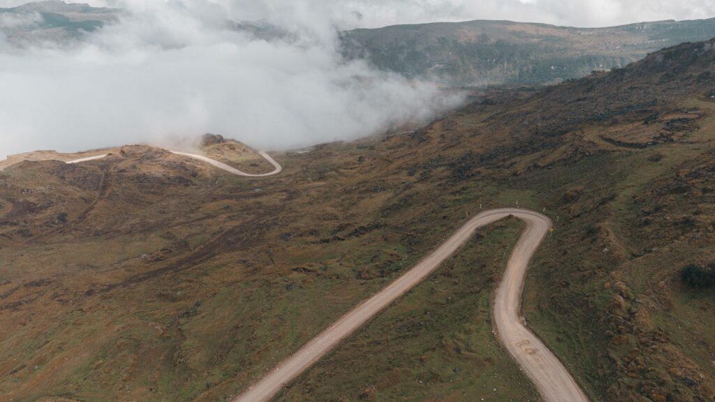
The history of mobility in this region is deeply tied to volcanic rock and basalt. Every kilometer of road built over the Rift escarpments represents a Pyrrhic victory of civil engineering against erosion and tectonic instability. Subterranean fissures, latent geothermal activity, and sudden hillside landslides create a scenario where transport planning must adapt to the unpredictable pulse of the earth. Here, logistics is not merely a matter of economic efficiency, but a constant struggle for survival and the supply of entire communities isolated between abysses of rock.
The Engineering of Escarpments and the Southern Route
Overcoming the elevation change separating the central plateau from the lake depression historically required a titanic effort. During the early decades of the twentieth century, the introduction of the Franco-Ethiopian railway marked a milestone in connecting Addis Ababa to the port of Djibouti, tracking the eastern edges of the Rift. However, in recent decades, secondary road networks and penetration paths have become the true backbone of regional supply, allowing agricultural goods, fuel, and construction materials to reach the most remote enclaves of the Oromia and Southern Nations, Nationalities, and Peoples’ regions.
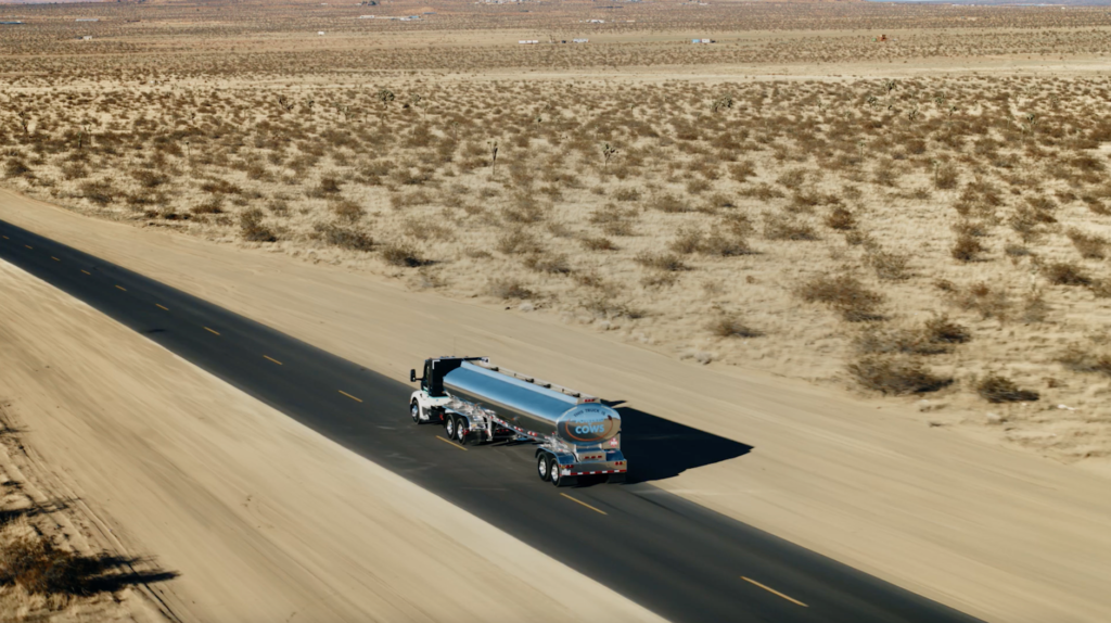
The heavy trucks operating on this route are authentic rolling museum pieces. Brands like Mercedes-Benz, Ural, and old Soviet-manufactured models withstand the relentless punishment of volcanic gravel tracks, with reinforced suspensions and engines capable of enduring the extreme heating caused by steep incline ramps. Local mechanics operate in open-air workshops in small settlements like Mojo or Awassa, fabricating spare parts artisanally and keeping fleets running that, anywhere else in the world, would have been retired decades ago.
The road in the Ethiopian Rift does not simply unite two geographical points; it is a taut rope over a geological abyss where every truck is a vital link sustaining the economic pulse of the plateau.
The maintenance of these road infrastructures represents a monumental budgetary and technical challenge for the Ethiopian federal government. The scarcity of quality asphalt, coupled with the intensity of summer rainfall, causes accelerated pavement degradation in high mountain sections. To mitigate this, local maintenance crews heavily resort to hand-crushed stone, a laborious process employing thousands of workers along the ditches and keeping open the commercial arteries that feed local food markets.

Salt Caravans and the Persistence of Animal Traction
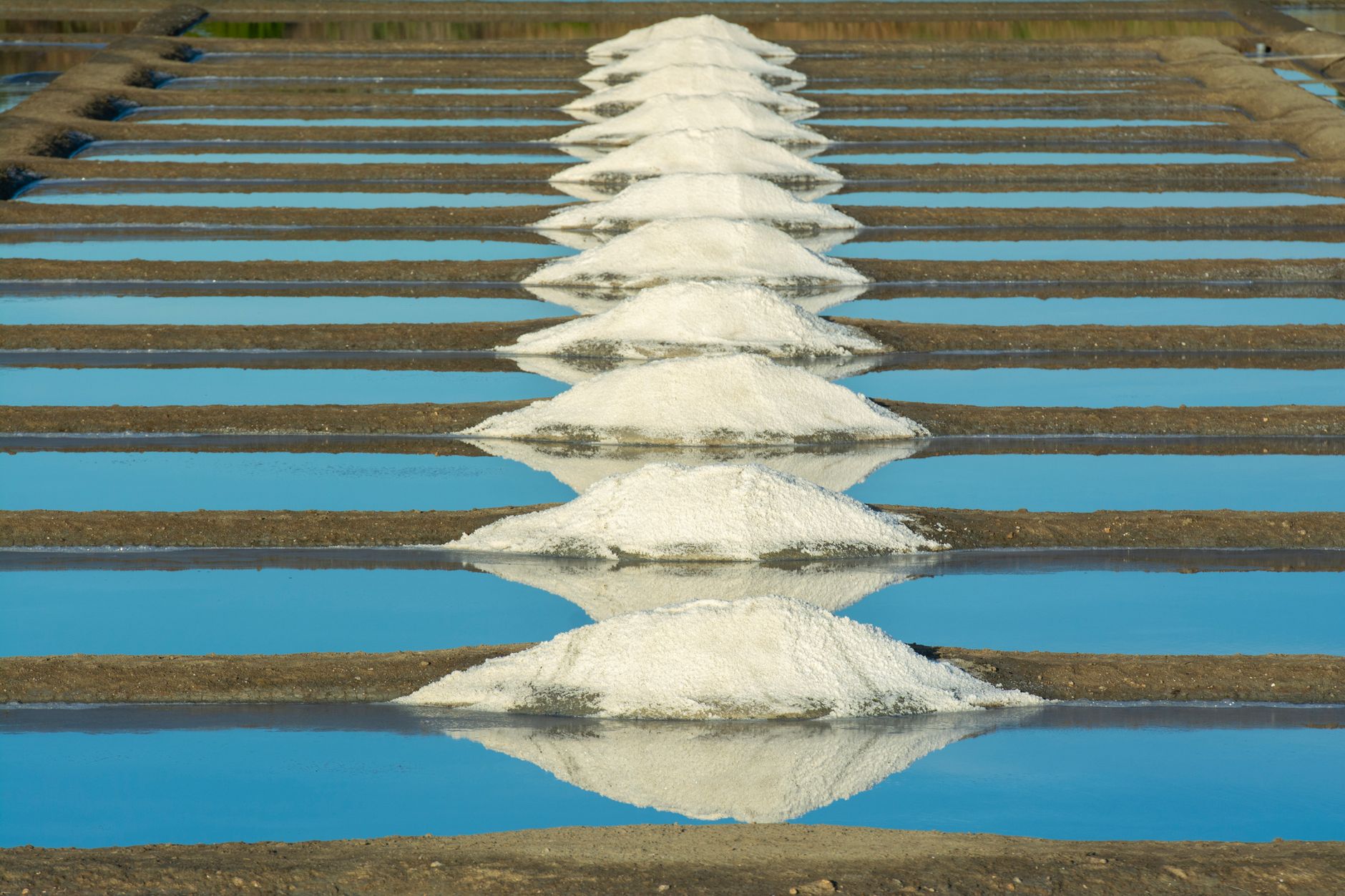
Beyond asphalt and combustion engines, the floor of the Rift harbors one of the oldest and most fascinating forms of transport on the planet: the Danakil depression salt caravans, whose supply branches connect with the highlands of the south and east. Although the heart of this activity lies in the northeast, the culture of animal pack transport permeates the entire peripheral logistics system of the Great Valley. Camels and donkeys continue to be the only actors capable of penetrating dry brine beds, inaccessible canyons for motor vehicles, and foothills where bridle paths defy the verticality of rock walls.
The organization of these expeditions responds to tribal hierarchies and ancestral knowledge transmitted from generation to generation. Afar and Oromo muleteers read the terrain by interpreting the color of dust, the direction of thermal winds descending from the peaks, and the behavior of herds. Each animal carries a perfectly calibrated load, distributed in artisanal leather saddlebags that prevent chafing against the backs during journeys extending for weeks under temperatures routinely exceeding forty degrees Celsius in the lowest depressions.
This coexistence between twenty-first-century industrial logistics and millennial arrierism defines the singularity of the Ethiopian landscape. While a convoy of Chinese trucks transports cement and machinery for hydroelectric dam construction along new national highways, a few kilometers away, along parallel volcanic rock trails, a silent line of dromedaries advances carrying blocks of salt toward traditional barter markets. It is an intermodal system where high technology and subsistence economy converge without canceling each other out.
Interior Fluvial Transport and the Rift Lakes
The Ethiopian depression houses a chain of endorheic lakes—such as Chamo, Abaya, and Ziway—traditionally functioning as minor navigation routes for artisanal fishing and local transport of goods and passengers. Unlike the major navigable river systems of central Africa, these mirrors of water present complex conditions due to high alkalinity, the massive presence of hippos and crocodiles, and the constant fluctuation of water levels driven by evaporation and seasonal rain cycles.
The vessels used are primarily dugout canoes carved from eucalyptus wood or light sheet-metal boats propelled by oars or small outboard motors. These aquatic means connect remote islands and riparian communities lacking viable land access due to swamps and marshes bordering the lake shores. Transport in these waters demands deep knowledge of hidden currents, shifting sandbanks, and sudden changes in wind direction descending from escarpment ridges.
- Use of traditional canoes for connectivity between marshy shores and fishing settlements.
- Biological and safety challenges derived from dense populations of major aquatic fauna.
- Seasonal variations in lake levels forcing constant relocation of artisanal docks.
- Commercial exchange of fresh fish toward highland markets using rudimentary refrigerated transport.
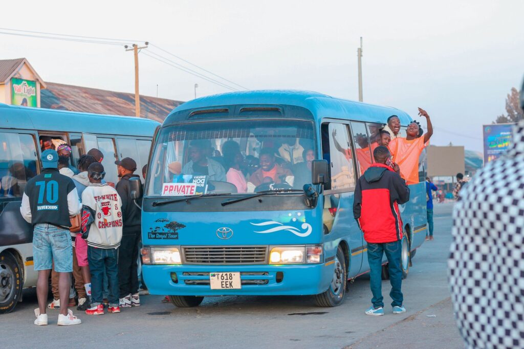
The management of these improvised docking points lacks formal port infrastructures. Fishermen and traders operate on volcanic mud beaches where catch unloading is done by hand, coordinating subsequent land distribution with minibuses waiting on the nearest dirt roads. This delicate aquatic-terrestrial gear guarantees food security for thousands of inhabitants in transition zones between plateau and low savanna.

Contemporary Challenges of Connectivity in the Horn of Africa
The development of transport infrastructure in the Great Rift Valley faces a crossroads marked by accelerated modernization and regional geopolitical tensions. The Ethiopian government has prioritized the expansion of high-performance electric railway networks and the paving of transnational corridors to secure trade with neighboring ports, seeking to reduce dependence on traditional land routes traversing geologically unstable terrain and potential conflict zones.
However, the rapid pace of these interventions often contrasts with the reality of local rural communities, who watch as new major highways divide their traditional grazing territories and alter livestock migratory routes. Engineers and planners face the titanic challenge of designing wildlife crossings, functional secondary links, and drainage systems capable of withstanding torrential water surges without destroying the fragile ecological balance of river valleys and endorheic basins.
The true litmus test for infrastructure development in Ethiopia lies not solely in the capacity to lay fast tracks between major cities, but in successfully integrating the local roads sustaining the daily lives of millions of rural inhabitants.
Added to this is the impact of climate change, increasing the frequency of prolonged droughts followed by torrential rains capable of washing away entire bridges and destabilizing mountain slopes in a matter of hours. The resilience of the Ethiopian transport system increasingly depends on the ability to combine modern civil engineering with landscape restoration techniques and community watershed management, ensuring the country’s arteries remain open even under the most adverse climatic scenarios.
Practical guide
How to get there: Bole International Airport in Addis Ababa is the primary air connection hub in East Africa, operated by Ethiopian Airlines with direct flights from major European, Asian, and American capitals.
Internal travel: Exploring the Great Rift Valley requires using four-wheel-drive off-road vehicles rented with a local driver expert in mountain tracks and volcanic terrain. Public buses (minibuses and medium-sized buses locally known as *abamos*) connect major plateau cities, although their availability on secondary southern routes is irregular.
Visual Epilogue on the Horizon of the Rift
As the sun begins to set over the floor of the Great Rift Valley, golden and oblique light cuts through mists laden with volcanic dust floating over alkaline lakes. On the steep escarpment slopes, silhouettes of cargo trucks fight the final slope as they laboriously ascend toward the plateau, emitting dense columns of black smoke under the immense African sky. A few meters away, a shepherd guides his flock along a millennial stone path, indifferent to the roar of engines. In this crossroads where geological time and human effort intertwine unceasingly, mobility remains the purest testimony of resilience in one of the most beautiful and demanding territories on the planet.