
Introduction to the Tyrrhenian Frontier and Its Maritime Geography
Insular territories are rarely understood solely through their most celebrated postcards; rather, they reveal themselves through the steady, precise rhythm of the routes linking them to the mainland. At the southern tip of the Tuscan Archipelago, Giglio Island rises from the Tyrrhenian Sea as a granitic bastion whose communications rely on a millimeter-precise choreography of scheduled ferries, minimalist port terminals, and a cabotage network capable of defying winter gales. This report examines how maritime connectivity shapes the daily life, subsistence economy, and cultural survival of an island community resisting extreme seasonal tourism through the sheer robustness of its transport infrastructure.
Far from mass cruise circuits, Giglio operates under a logic of strict interdependence with the continental port of Porto Santo Stefano. Every crossing across the Piombino channel and the waters of the Argentario represents a logistical sync exercise transporting everything from groceries and construction materials to students commuting daily to mainland high schools. Transport infrastructure is not merely an administrative appendage; it is the vital circulatory system keeping a geographically isolated territory alive, firmly anchored by human willpower and professional seamanship.
The Port Infrastructure of Giglio Porto: Engineering Between Breakwaters
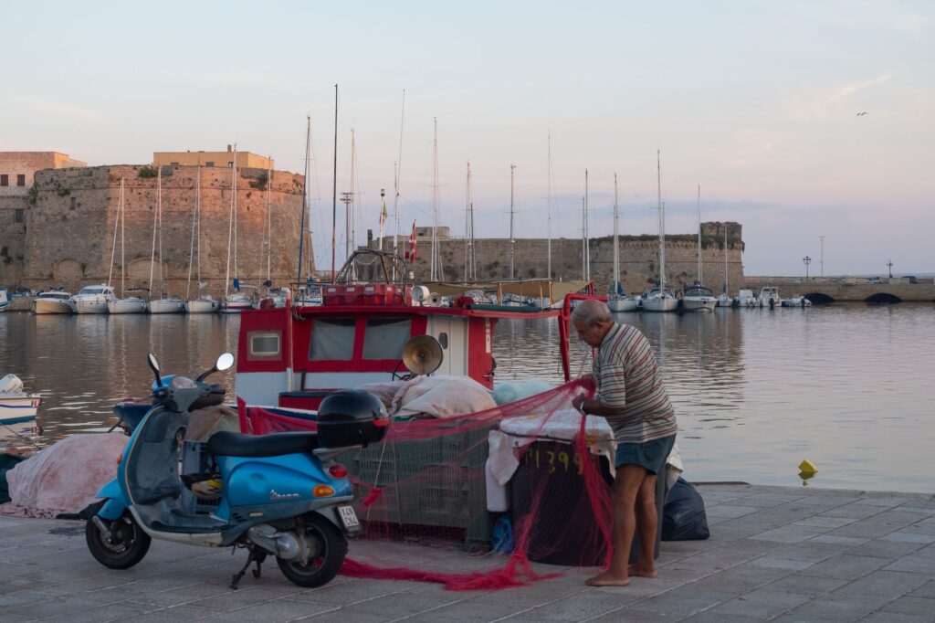
The heart of insular connectivity beats in Giglio Porto, a horseshoe-shaped harbor wedged between hills terraced with ansonica vineyards. The configuration of its historic breakwaters responds to an ancestral need for shelter against the easterly sirocco and levant winds dominating the southern Tyrrhenian sector. Contemporary interventions have had to balance draft expansion for roll-on/roll-off ferries with the preservation of the main pier’s human and heritage scale, where local fishermen still mend their nets alongside ship landing ramps.
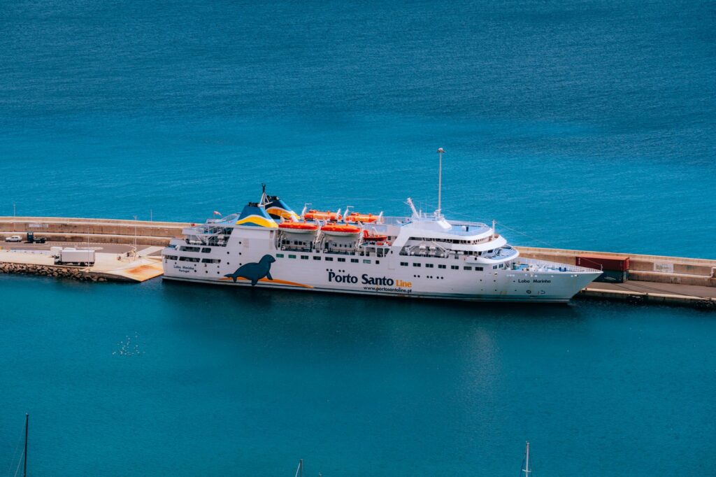
Managing maritime traffic in such a confined space requires rigorous protocols. The captains operating the daily ferry route face severe bathometric limitations and tight maneuverability constrained by the narrow harbor mouth. Nautical precision in this enclave is a matter of economic and social survival, as any interruption in fuel or perishable goods supplies immediately disrupts the island’s fragile equilibrium. Port authorities coordinate millimeter-precise schedules to prevent congestion between passenger ferries, resident skiffs, and summer pleasure craft.
Cabotage Transport and the Logistics of Daily Supply
Sustaining an island located sixteen kilometers off the Tuscan coast demands an invisible yet infallible logistics chain. Light cargo ships act as the umbilical cord transporting gas cylinders, heavy agricultural machinery, and municipal solid waste generated by the local population. This cabotage traffic operates far from tourist fanfare, paying homage to punctuality and resilience against winter heavy seas that frequently isolate the harbor for days on end.
Onshore intermodal integration forms another pillar supporting island mobility. From the Giglio Porto pier depart the local bus services winding along the island’s sole paved road—a twentieth-century civil engineering feat climbing hairpin turns up to Giglio Castello and descending switchbacks toward Campese Bay. The road alignment hugs steep slopes, connecting the three main population nuclei via public transport adapted to geographical dimensions and the strict technical limits of heavy vehicles on narrow roads.
The Frontier Lighthouses: Sentinels of Tyrrhenian Navigation
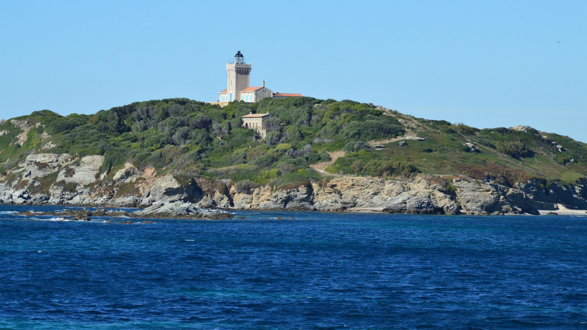
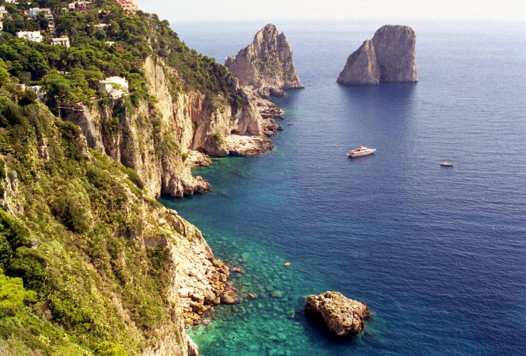
Navigation safety around the Tuscan Archipelago rests upon a historic network of maritime signaling led by the Fenaio lighthouse on the northern tip and the Capel Rosso lighthouse anchored on the island’s southernmost extreme. These structures are not merely heritage monuments of nineteenth-century civil architecture; they are essential technical tools guiding nighttime merchant and fishing traffic through channels thick with shallows and treacherous currents.
The automation of these beacons has transformed the lighthouse keeper’s trade, yet their geostrategic relevance remains intact. From the cliffs of Capel Rosso, battered by southern gales, observers visually monitor one of the western Mediterranean’s busiest inland navigation routes. The seafaring skill of Giglio’s inhabitants was forged precisely by observing these rocky profiles, learning to interpret barometric shifts and water coloration near the submerged reefs encircling the island’s perimeter.
Interior Connectivity: Mule Tracks and Pedestrian Mobility
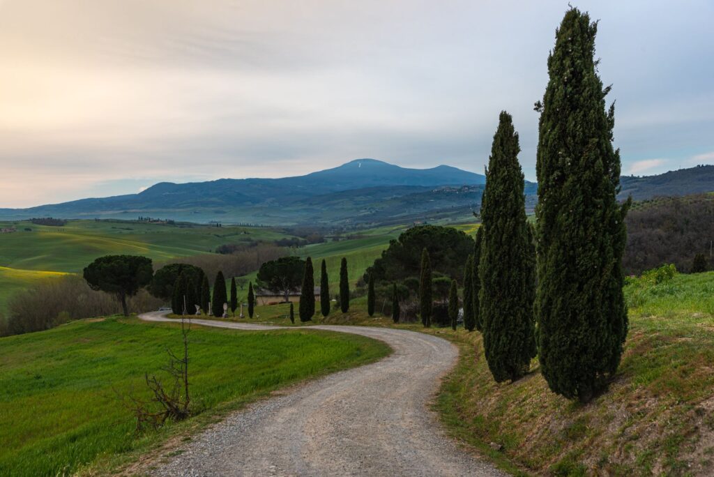
Before the arrival of asphalt and motor vehicles, the network of mule tracks—known as mulattiere—formed the sole connective tissue linking terraced vineyards, agricultural settlements, and natural anchorages. Today, this rural road heritage has undergone a functional mutation, transforming into a backbone for sustainable hiking and the valorization of the island’s cultural landscape.
Maintaining these paved trails demands artisanal techniques passed down through generations, utilizing local stone to prevent erosion caused by torrential autumn rains. Walking these historic corridors reveals the immense human effort invested in carving the mountain for the heroic viticulture of the ansonica grape. The terrain is traversed at a human scale revealing invisible details from the main highway, connecting isolated coves and ancient rural hermitages via pedestrian paths seamlessly integrated into the wild topography.

The Impact of Seasonality on the Transport Network
One of the greatest structural challenges facing Giglio’s connectivity lies in the demographic asymmetry between summer months and the winter period. While ferries transport thousands of daily visitors during July and August, temporarily overwhelming the port, floating populations drop to historic lows between November and March, forcing shipping companies to drastically adjust service frequencies.
This fluctuation deeply conditions the economic planning of local transporters and public administrations. Insularity subsidies guarantee a minimum number of winter daily frequencies, securing residents’ right to mobility for medical, educational, or administrative errands on the mainland. The viability of this public service model is constantly evaluated against rising fuel costs and an aging fleet requiring technological modernization to comply with European environmental regulations.
The sea does not separate the island from the mainland; the sea is the only true highway guaranteeing freedom of movement and historical continuity.
Practical guide
- How to get there: Ferries to Giglio depart regularly from the mainland port of Porto Santo Stefano (Tuscany). Toremar and Maregiglio operate the route year-round, with a crossing time of approximately one hour. Always check updated schedules according to winter or summer seasons.
- Transport on the island: Local bus services connect Giglio Porto, Giglio Castello, and Campese efficiently. Bringing private cars in summer is strongly discouraged due to severe parking and traffic restrictions enforced by local municipalities.
- Accommodation and services: Giglio Porto and Campese concentrate hotel and dining options. Booking well in advance is essential during spring weekends and summer months given the limited lodging inventory on the island.
- Best time to visit: The months of May, June, September, and October offer optimal weather conditions for hiking and navigation, avoiding July and August tourist crowds while ensuring greater stability in maritime connections.
Memory, Tides, and the Perennial Echo of the Tyrrhenian Horizon
At day’s end, when the final scheduled ferries complete their docking maneuvers in Giglio Porto’s calm waters and the mountain silhouette merges with the deep blue of the Tyrrhenian Sea, the island regains its intimate, silent pulse. Port activity echoes fade among Giglio Castello’s medieval alleys, where elders converse under dim streetlights while the murmur of waves recalls constant dependence on the marine environment. This is not merely a geographically detached territory, but a living laboratory where transport engineering, popular tenacity, and traditional seamanship have forged an unbreakable bond with the mainland.
Looking toward the horizon from Capel Rosso’s cliffs or watching cargo boats depart at dawn for Porto Santo Stefano reveals the true value of connectivity in small Mediterranean island communities. Giglio is not a static refuge frozen in time, but a dynamic organism breathing to the rhythm of its tides, protected by secular lighthouses and sustained by the daily toil of those who made the sea their path and destiny. The true essence of this Tuscan borderland lies in its capacity to transform geographic isolation into a proud maritime identity, proving that distance is never an insurmountable obstacle when human ties and shipping routes converge in perfect harmony.