

Introduction to New Zealand’s Rugged Western Frontier
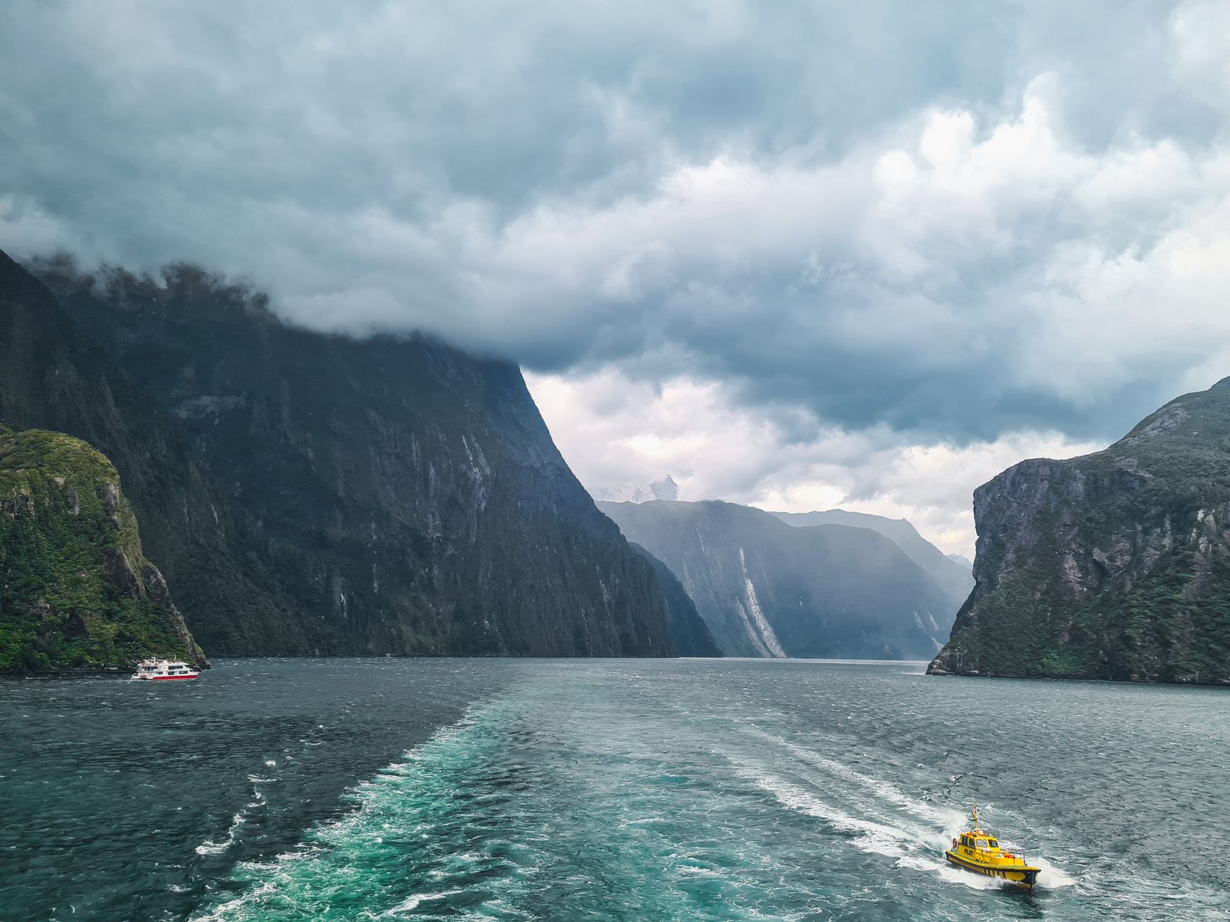
Fiordland National Park, situated in the extreme southwest of New Zealand’s South Island, represents one of the most challenging and pristine natural environments on Earth. Spanning over twelve thousand square kilometers, this territory sculpted by ancient glaciers lacks a conventional road network. The rugged topography—characterized by sheer granite cliffs plunging vertically into dark fjord waters and an extreme precipitation regime exceeding seven thousand millimeters annually—has dictated a radically intermodal transport model. Here, the mobility of goods, residents, and travelers relies on a precise choreography between light aviation, deep-sea maritime navigation, and mountain road engineering that defies civil construction limits.
Understanding logistics and transit in Fiordland requires abandoning conventional assumptions of terrestrial movement. Commercial and tourist routes operate under strict weather-dependent regimes, where katabatic wind gusts and sudden river floods dictate operational tempos. This report examines how fjord ferries, amphibious seaplanes taking off from glacial lakes, and the renowned Homer Tunnel road operate, unraveling the complex supply network that sustains one of the most isolated and fascinating regions in the Southern Hemisphere.
The Road Backbone: Engineering and Maintenance of the Homer Tunnel
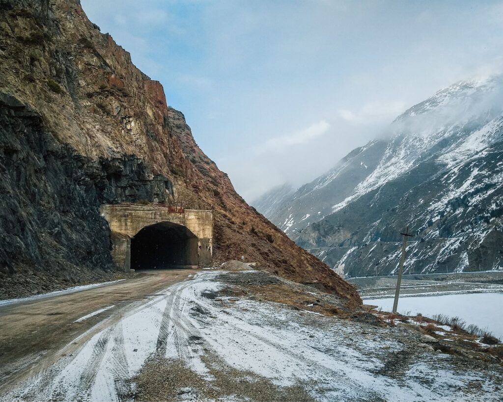
The sole terrestrial artery connecting the outside world with Milford Sound (Piopiotahi) is State Highway 94, a high-mountain route whose critical bottleneck is the Homer Tunnel. Bored through the granitic rock of the Darran Mountain Range at an altitude of over nine hundred meters above sea level, this single-lane, 1,240-meter-long tunnel stands as a masterpiece of early engineering and a permanent maintenance challenge. Inaugurated in the mid-20th century after decades of excavation interrupted by avalanches, rockfalls, and extreme weather, the tunnel now operates under an intelligent traffic light system and road patrols that constantly assess surrounding slope stability.
Transit through this corridor demands rigorous adherence to road safety protocols. During winter months and unstable springs, avalanche risks prompt preventive temporary closures executed by specialized avalanche control teams using controlled charges to purge accumulated snow from upper ridges. Commercial freighters supplying the hotel and cruise infrastructure of Milford Sound must coordinate schedules weeks in advance, adapting to operational windows left by Tasman Sea storms. Managing asphalt at these elevations requires specialized compounds capable of withstanding constant freeze-thaw cycles without losing traction.
Mountain Aviation and Lake Seaplanes
Given the impossibility of expanding road networks due to the strict environmental protections of the national park—designated a UNESCO World Heritage site under Te Wahipounamu—light aviation plays an irreplaceable role in Fiordland’s rapid connectivity. The airstrips of Milford Sound and Te Anau serve as foundational hubs for a diverse fleet of short takeoff and landing (STOL) aircraft and helicopters equipped with high-mountain skids. These aircraft not only transport travelers on scenic reconnaissance missions but guarantee urgent medical evacuations and scientific personnel transfers to remote shelters inaccessible by land.
Simultaneously, seaplanes operating from the mirror-like surfaces of Lake Te Anau and Lake Manapouri represent a transport solution inherited from alpine and bush traditions. These aircraft, capable of alighting in tight spaces between rock walls, bridge steep elevation changes in minutes, bypassing hours of land travel vulnerable to landslides. Pilots must possess exceptional skill to read the shifting patterns of katabatic winds descending from glacial valleys, turning every flight into a masterclass in precision piloting adapted to extreme oceanic meteorology.
Deep-Sea Navigation and Fjord Logistics
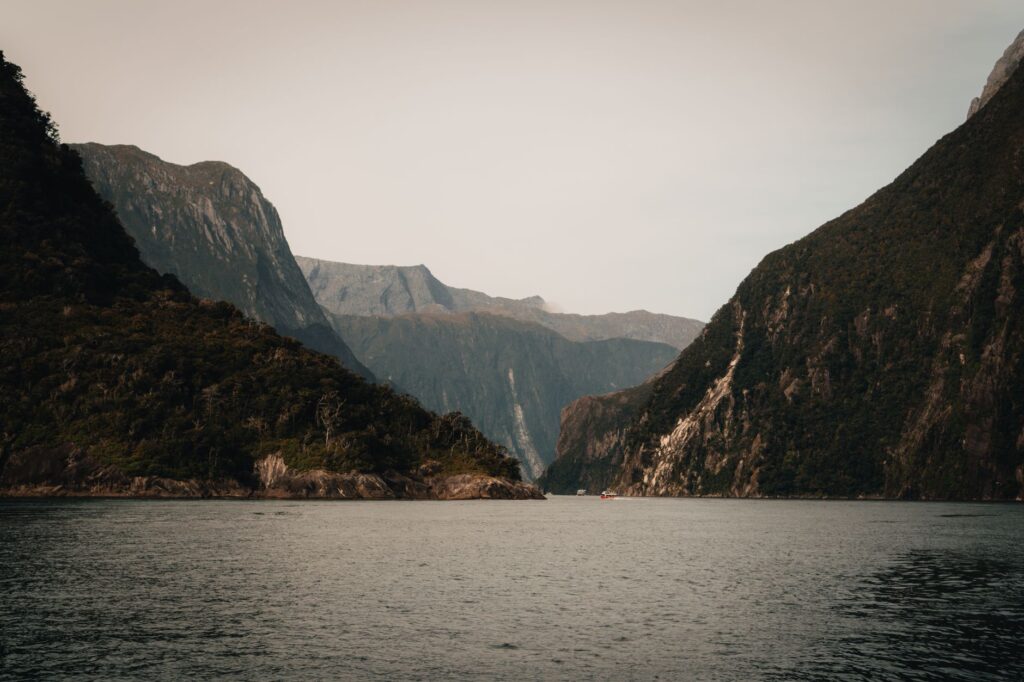
The region’s economic and operational heart beats on the water. The fjords of Milford (Piopiotahi) and Doubtful (Patea) act as deep navigable waterways where combined fleets of tourism vessels, light cargo ships, and scientific research boats operate. Unlike other coastal enclaves, the entrance to these marine arms from the Tasman Sea is guarded by underwater sills carved by prehistoric ice tongues, producing remarkably calm surface waters inside, though subject to strong tidal currents in narrower gorges.

The logistics chain supplying remote floating accommodations and visitor centers relies on multi-purpose ferries departing from Deep Cove and Milford Wharf. These vessels carry everything from fuel in watertight containers to perishable goods and solid waste, complying with the zero-discharge policy enforced by New Zealand’s Department of Conservation (DOC). Wastewater management and energy supply in these isolated spots are handled via autonomous purification systems and localized micro-grids powered by hydroelectric generation, such as the historic plant tied to the Lake Manapouri project.
Energy Pulse and Subterranean Corridors
A frequently invisible yet vital component of Fiordland’s intermodal system is its energy and subterranean transport infrastructure. The Manapouri Hydroelectric Power Station, located on the western arm of the lake bearing the same name, is New Zealand’s largest underground power station. For its construction and ongoing maintenance, a complex labyrinth of access tunnels and technical galleries was excavated through the mountain’s core. Transporting heavy machinery and specialized technicians to this plant relies on lake barges and an internal service railway directly connecting with the western surface.
This symbiosis between renewable energy generation and conservation logistics demonstrates how human intervention in a protected environment has been driven underground to preserve the visual and ecological integrity of the landscape. High-voltage transmission lines evacuating energy to the national grid cross challenging mountain passes, where preventive maintenance is executed exclusively via heavy cargo transport helicopters, avoiding the creation of logging tracks that would fragment the native temperate rainforest ecosystem.

Environmental Challenges and Tourism Traffic Regulation
The exponential surge in international tourism over recent decades has placed unprecedented pressure on Fiordland’s fragile ecosystem and limited transport infrastructure. Massive tour bus traffic through the Homer Tunnel and vessel congestion at Milford Sound docks have compelled New Zealand authorities to implement strict regulatory frameworks. Key measures include congestion pricing at critical points, commercial navigation license caps, and promoting intermodality through visitor reception centers located away from sensitive hubs.
blockquote class=»editorial-quote»>True sovereignty in an extreme territory is measured not by the speed of its highways, but by its engineering’s ability to converse with the abyss without disturbing its ancient silence.
Operational Safety and Meteorology in the Tasman Sea
Risk management within Fiordland’s transport system is coordinated by meteorological control centers operating twenty-four hours a day. Storm systems originating in the Tasman Sea collide head-on with the Southern Alps, dumping massive volumes of water within hours. This triggers flash floods capable of washing away entire sections of secondary roads or blocking port access with logs and sediment swept down from slopes.
Air and maritime transport operators are mandated to integrate New Zealand Meteorological Service (MetService) bulletins into flight and navigation plans. Visibility restrictions due to dense morning fog and low-hanging valley clouds frequently force the temporary suspension of takeoffs on Milford Sound’s gravel runways, proving that nature retains the final word in this oceanic wilderness.
Practical guide
How to get there: The primary terrestrial gateway is Te Anau, accessible by road from Queenstown (approximately a two-hour drive via SH6 and SH94). There are no commercial airports within the park; private and charter flights operate by prior authorization only.
Best time to travel: From November to April (Southern Hemisphere spring and summer), when daylight hours are longer and temperatures moderate. However, weather conditions can change radically in any season.
Driving requirements: State Highway 94 requires vehicles in flawless mechanical condition. All-wheel drive (AWD/4WD) and carrying mandatory tire chains during winter months or sudden snowfall warnings are strongly recommended.

Environmental regulations: The ‘Leave No Trace’ principle is strictly enforced. Overnight stays outside authorized campsites are prohibited, and visitors must autonomously manage their own waste.
Emotional Epilogue at Deep Cove Wharf
When the last commercial ferry docks at Deep Cove Wharf as evening falls, daytime traveler hustle dissolves into solemn silence broken only by the steady murmur of distant waterfalls tumbling into Doubtful Sound. In this corner where primordial moss-clad rock walls plunge into abyssal depths, human engineering reveals itself not as an exercise in dominance, but as a pact of respect with the elements. Watching the silhouette of a seaplane resting on dark waters as the southern sky ignites with the first stars invites reflection on the fragility of our routes and the persistence of pure, untamed beauty.
blockquote class=»editorial-quote»>At the end of paved roads, where the roar of engines yields to the breath of the Antarctic wind, Fiordland reminds us that travel is, above all, an act of attentive listening.


