
Introduction to the Arctic Edge: The Maritime Route Between Tromsø and Lofoten
Northern Norway is not merely understood through its winding coastal roads or forest tracks; its true backbone has long been the intricate navigation network slicing through the fjords and the Norwegian Sea. Between the vibrant university hub of Tromsø and the imposing granite wall of the Lofoten Islands, the maritime route represents much more than a simple mode of transport: it is the life support of fishing communities, the supply line for the aquaculture industry, and a living testament to naval engineering adapted to one of the most hostile environments on the planet. In this territory where water serves as the only permanent pathway, the ferries operated by companies like Torghatten Nord and coastal express vessels form a meticulous choreography of schedules, tides, and Arctic currents that defy the relentless weather of the north.
Embarking on the journey between these latitudes requires understanding that the Norwegian Sea operates under its own rules. The waters separating the mainland from the Lofoten archipelago are marked by fierce katabatic winds, sudden storms descending from glaciers, and a radically polar light regime oscillating between the eternal winter night and the midnight sun of summer. For travelers choosing to bypass air travel and immerse themselves in slow navigation, this route offers a unique perspective on how humanity has tamed the ocean without altering it. Each voyage is a lesson in respect toward a marine ecosystem where humpback whales, white-tailed eagles, and cod stocks share space with hyper-modern ferry fleets powered by liquefied natural gas and hybrid systems.
Port Logistics in Tromsø: The Neural Node of the North
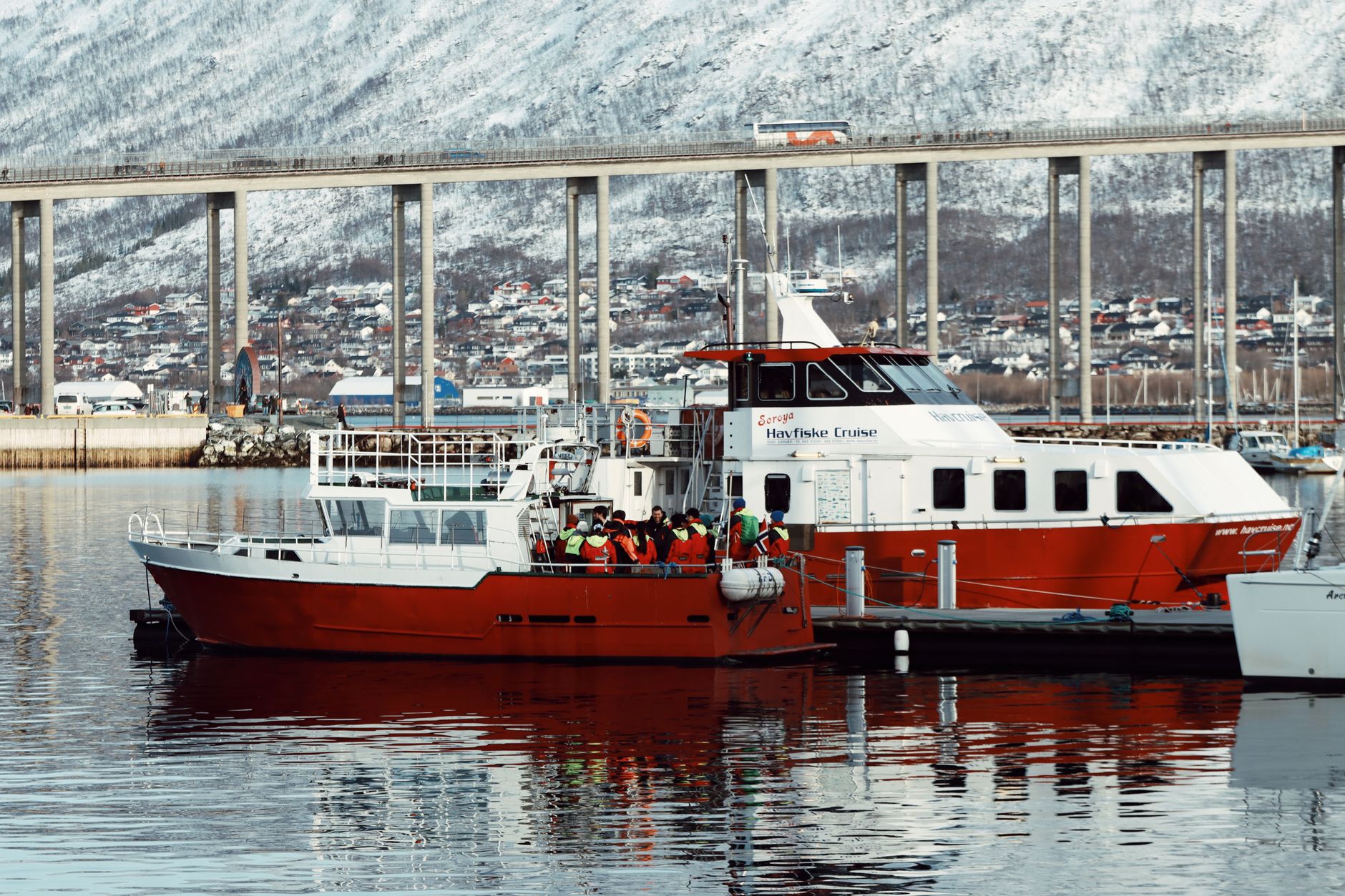
The journey begins at the docks of Tromsø, historically known as the Gateway to the Arctic. From this insular enclave, situated more than 300 kilometers north of the Arctic Circle, ferry terminals connect the mainland with peripheral archipelagos. Tromsø’s port infrastructure blends maritime tradition with advanced digitalization in maritime traffic management. Passengers and vehicles preparing to board for Lofoten must adhere to strict stowage protocols designed to guarantee vessel stability against the sudden changes encountered in open waters.
Local port authorities coordinate each departure with national meteorological services, establishing safe navigation windows. Breivika, the city’s main freight and passenger terminal, is a hub of activity where refrigerated trucks loaded with fresh fish, expedition SUVs, and independent travelers converge. The planning of this maritime connectivity relies on state subsidies ensuring that even the smallest settlements maintain a daily link with administrative and medical hubs. Thus, the ferry is not a touristic novelty, but a guaranteed mobility right for those inhabiting this northernmost edge.
Naval Engineering in Extreme Waters: Giants of the Norwegian Sea
The fleet operating connections between Troms and Nordland counties represents the vanguard of contemporary naval architecture. In recent years, shipping companies have renewed their units by integrating low-impact propulsion systems capable of operating in heavy seas and sub-zero temperatures. These vessels feature ice-reinforced hulls and state-of-the-art stabilization systems that minimize rolling during open-sea crossings, such as the formidable Vestfjorden—the sea arm separating the mainland from the Lofoten wall.
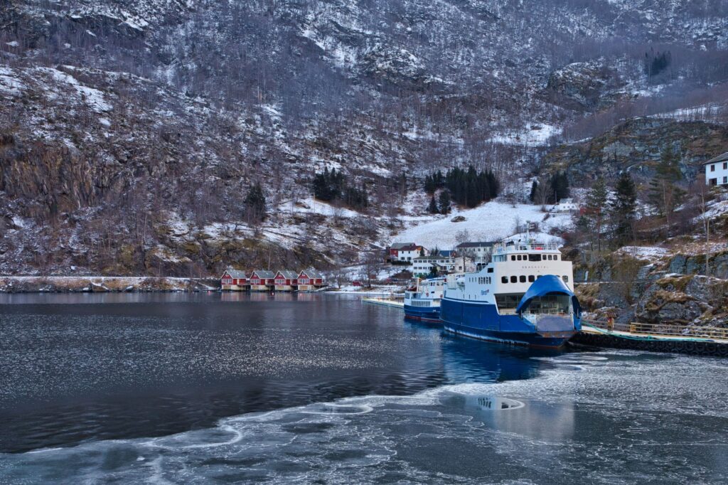
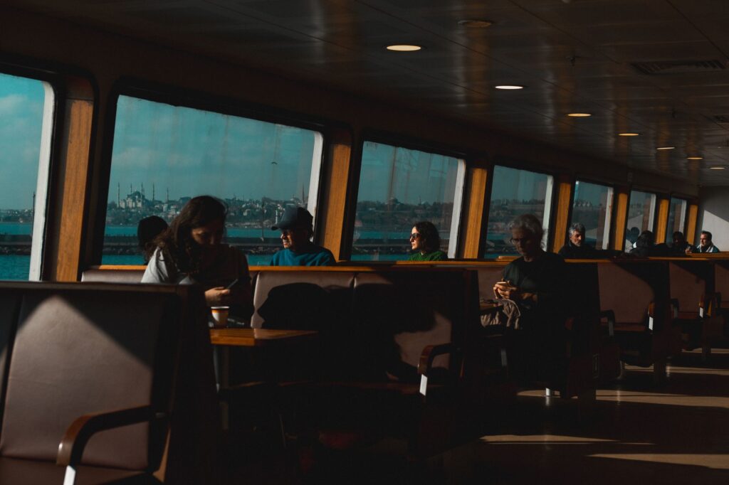
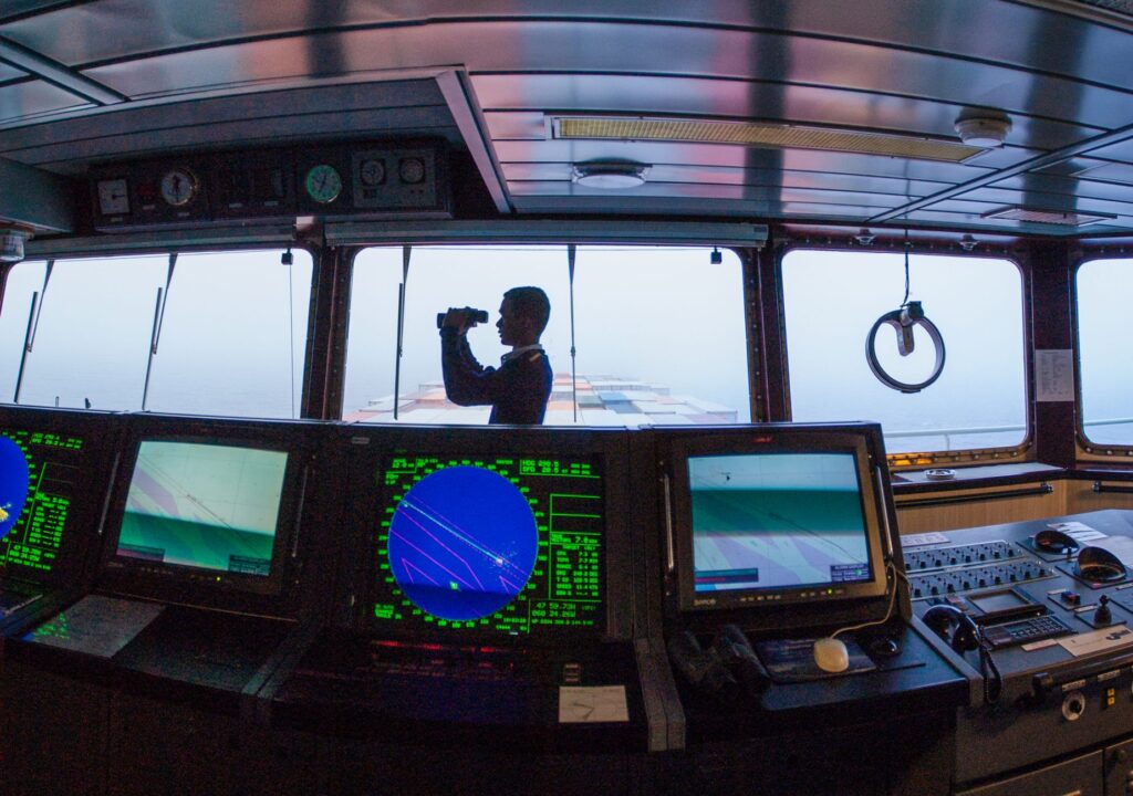
The interior design of these ferries prioritizes functionality without sacrificing comfort. Panoramic lounges with expansive glass panels allow passengers to contemplate the landscape without interruption, while geothermal heating and heat recovery systems optimize energy consumption onboard. The crew, hardened by years of navigating the demanding waters of the North Atlantic, operates high-precision satellite and radar navigation systems to counter the dense fog frequently shrouding the fjords during transitional seasonal months.
Crossing the Vestfjorden: History and Mythology of an Indomitable Strait
One of the pinnacle moments of the journey toward Lofoten is navigating the Vestfjorden. Spanning over a hundred kilometers, this body of water has historically been one of the richest cod-fishing grounds on Earth, drawing fleets from across Europe since the Middle Ages. However, its reputation among sailors is also tied to peril: northwest winds battering the steep Lofoten coastline generate violent crossed waves, a phenomenon locally known as the Malstrøm currents, whose force inspired classical literature by Edgar Allan Poe and Jules Verne.
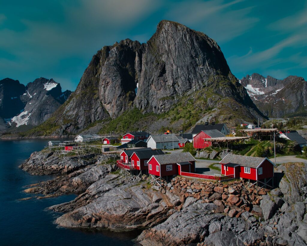
Aboard the ferry, crossing the Vestfjorden is experienced with a mixture of vertigo and fascination. To starboard, the sharp profiles of the Lofoten peaks—the so-called «Lofoten Wall»—rise vertically from the water, exceeding one thousand meters in altitude without coastal transition. To port, minor islands and outer archipelagos blur the line between sky and sea. In this stretch, the captain’s expertise is decisive in maintaining precise headings against tidal currents rushing in and out of the fjords with overwhelming force.
Northern Norway is not conquered with haste; it is understood through the steady rhythm of propellers cutting through the cold waters of the Arctic Ocean.
Life Onboard: Floating Communities and the Culture of Arctic Coffee
The experience of traveling on Norwegian ferries transcends physical mobility to become a sociological immersion in northern culture. Unlike mass-tourism ferries in the Mediterranean, these vessels function as floating community lounges where locals, fishermen, freight drivers, and travelers share space for hours. The ship’s canteen becomes the epicenter of social life: freshly brewed black coffee is served alongside traditional cinnamon buns (skolebrød), while weather forecasts or fish market prices are actively debated.
This unpretentious atmosphere fosters unusual closeness among passengers. It is not uncommon to witness conversations between marine biologists tracking cetacean populations and nature photographers hunting for the perfect Arctic light. The slowness of the voyage, which can last several hours depending on intermediate stops on smaller islands like Senja or Andøya, invites contemplation and reading, turning the crossing into a period of absolute digital disconnection due to intermittent mobile signals on the open sea.
Insular Connectivity: The Economic Impact of Maritime Transport
The dependence of the Lofoten Islands on their ferry network is absolute. Although the road infrastructure project known as Lofotensfasten has connected several main islands via bridges and underwater tunnels since the late 1980s, ferries remain indispensable for heavy freight transport, foot passenger traffic, and connections to the more isolated islands of the western archipelago, such as Værøy and Røst.
For the fishing industry, which drives the region’s economy, the punctuality of these maritime routes is vital. Trucks laden with prized dried cod (tørrfisk) must reach continental distribution terminals without delay to meet export deadlines for markets in southern Europe and Asia. Any service disruption caused by winter storms triggers complex logistical reprogramming operations, highlighting both the fragility and resilience of these island supply chains.
Practical Information for Travelers: Planning and Route Advice
Planning a ferry journey through northern Norway requires rigor and anticipation. While advance booking is not strictly mandatory months in advance for most regional routes, during peak summer months (June to August) and the winter fishing season, vehicle spaces onboard fill up rapidly. It is advisable to consult official booking platforms such as Torghatten Nord or Rejseplanen to verify updated schedules, as these undergo constant modifications based on tides and weather warnings.
- Advance Vehicle Booking: Traveling with a car or camper makes securing space on main trunk lines crossing the Vestfjorden essential.
- Onboard Equipment: Deck currents can be freezing even in July; windproof, waterproof clothing and non-slip footwear are strongly advised.
- Schedule Flexibility: Arctic weather dictates operations; maintaining a margin of at least 24 hours in global itineraries against potential storm cancellations is vital.
- Connectivity and Navigation: Downloading offline maps and maritime tracking apps like MarineTraffic helps understand the route in real time.
Visual Closing: Arrival at the Gates of the Archipelago
When the ferry’s hull finally reduces speed and glides toward the terminal at Moskenes or Svolvær, the sense of arrival takes on a nearly theatrical dimension. The dark stone masses of Lofoten rise like silent colossi beneath the oblique Arctic sunlight, casting reflections across the deep, dark waters of the port. Diesel or hybrid engines drop their revs, the heavy metal ramp lowers onto the dock asphalt, and vehicles begin rolling out onto the secondary road network traversing the archipelago. In that instant, the traveler understands that the maritime passage was never mere transit, but the necessary threshold required to attune with the ancient rhythm and unyielding beauty of the Norwegian north.
Traveling by sea to the Lofoten Islands means accepting a truce with modern speed and surrendering to the millennial heartbeat of the Arctic tides.