
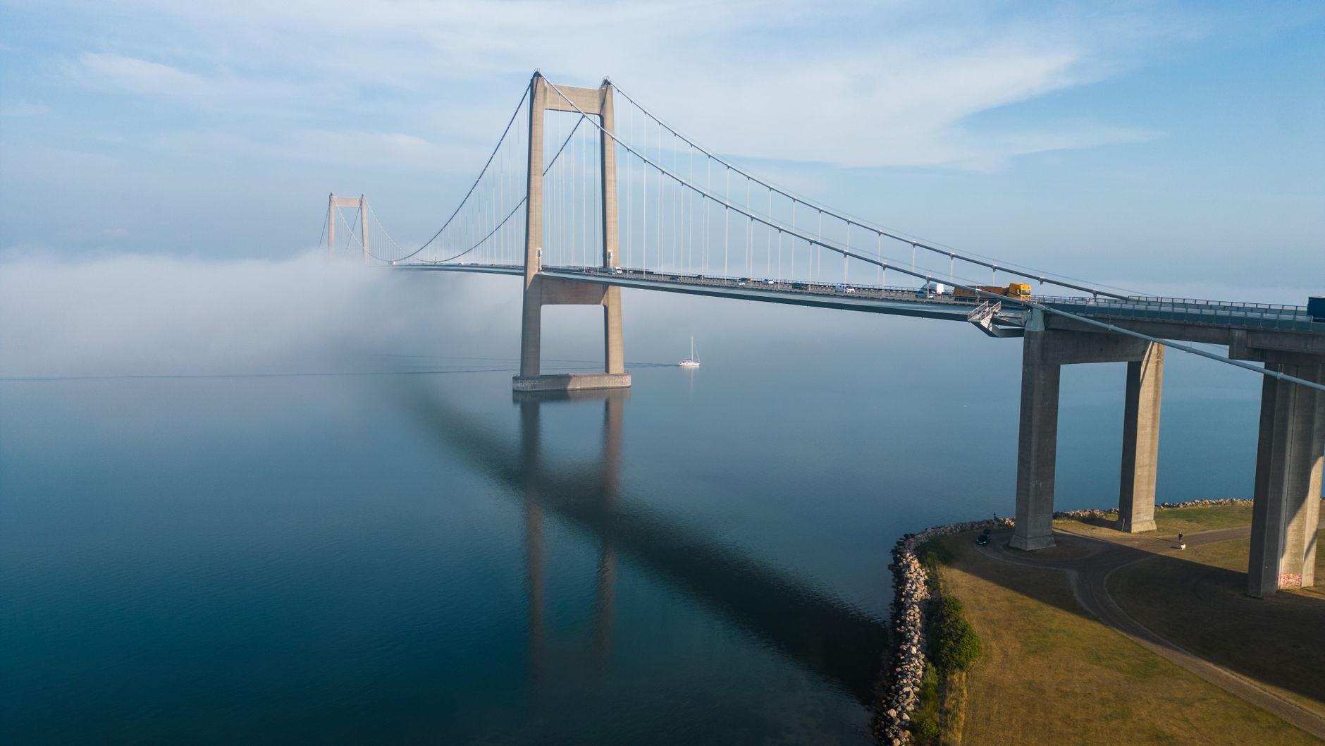

A Geometric Scar Across the Baltic and Kattegat
The marine landscape between Denmark and Sweden changed irreversibly in the year 2000 with the inauguration of the Øresund Fixed Link (Øresundsforbindelsen). This is not merely a monumental feat of civil engineering, but a territorial intervention that re-stitched two nations historically separated by linguistic, customs, and geographical barriers. The infrastructure redefines the concept of a cross-border region by connecting the Danish capital, Copenhagen, with Sweden’s third-largest city, Malmö, through a continuous intermodal system combining a four-lane highway and a double-track railway link.
To understand the magnitude of this transport corridor, one must examine the marine geography of the strait. The technical solution adopted was not a continuous bridge—something unfeasible due to the proximity of Copenhagen-Kastrup International Airport and the necessity of keeping marine navigation routes clear. The project required a hybrid system: an artificial underwater tunnel, an artificial transition island, and a cable-stayed bridge of monumental proportions that defies Baltic currents and North Sea gales.
The Geopolitical and Economic Genesis of the Corridor
The concept of uniting Denmark and Sweden via a permanent crossing dates back to the Hanseatic trade era, but it did not gain institutional momentum until the late 20th century. With European integration underway, Scandinavian governments foresaw the imperative need to merge the labor markets of the Zealand region and Sweden’s Skåne province. The creation of the Greater Øresund Region (Øresundsregionen) aimed to counterbalance the economic centralization in Stockholm and the Central European axis, forging a demographic hub of nearly four million inhabitants.
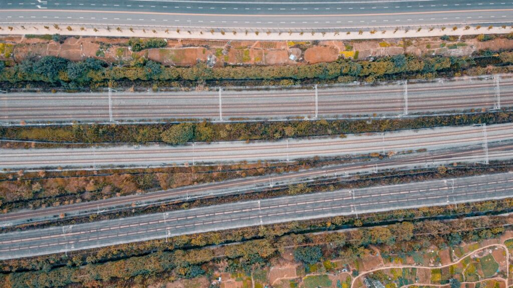
The financial model adopted was pioneering in Europe: a joint state-owned limited company (50% Danish and 50% Swedish) funded construction entirely through state-guaranteed loans, without direct fiscal subsidies. Debt amortization depends exclusively on tolls collected from road users and track access fees paid by railway operators. This market-driven scheme has proven self-sustaining, though it subjects tariffs to strict dependency on commercial traffic and passenger volumes.
Submarine Architecture: The Peberholm and Drogden Tunnel
The journey from the Danish side begins by plunging into the Drogden Tunnel. Stretching 3,510 meters, this section consists of precast concrete elements manufactured onshore, towed to the seabed, and assembled with millimeter precision in an excavated trench. This engineering choice ensures that aircraft taking off and landing at adjacent Kastrup Airport encounter no vertical obstacles in their flight path.
Emerging from the tunnel, the route surfaces on an artificial island created using sediment dredged from the seabed during construction: Peberholm (Pepper Islet, named in contrast to the nearby natural island of Saltholm, Salt Island). Peberholm serves as a vital logistical and ecological node. In this transition zone, the highway and railway tracks run parallel before rising onto the bridge structure proper. Curiously, the island has evolved into a protected biological sanctuary where local flora and fauna evolve without human interference, serving as a natural laboratory for marine and terrestrial biologists.
The Grand Bridge: Statics and Aerodynamics Over the Strait
Leaving Peberholm behind, the elevated section unfolds, culminating in the world’s longest cable-stayed bridge for combined train and car traffic. With a total length of 7,845 meters, the structure rests on massive concrete piers supporting a double-deck superstructure: the upper tier dedicated to the E20 motorway and the lower tier reserved for high-capacity and commuter trains.
The most dramatic point of the journey is the central span, flanked by two 204-meter-tall pylons supporting the deck via bundles of high-strength steel stay cables. This design addresses both mechanical resistance requirements against hurricanes and winter gales, and strict aerodynamic constraints. High-speed train passages and heavy truck traffic generate complex vibrations that the structure dissipates elastically.
The bridge is not merely a rigid structure of steel and concrete, but a dynamic organism designed to flex and breathe to the rhythm of the Baltic elements.
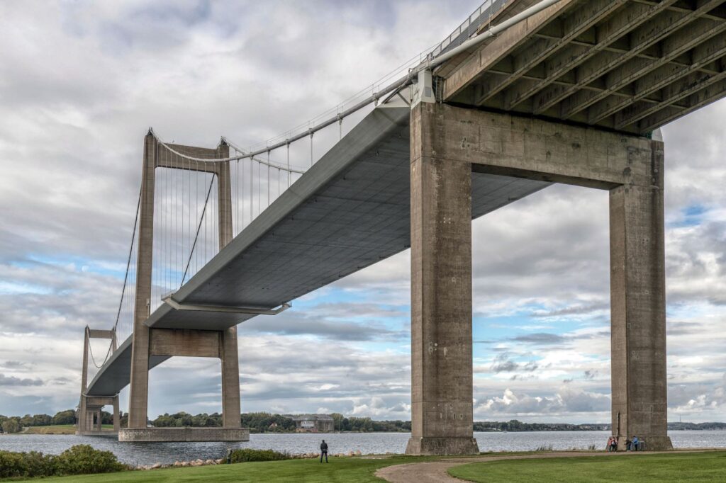
Railway Infrastructure and Cross-Border Operations
Railway transportation across the Øresund forms the backbone of sustainable mobility in the region. The railway lines are electrified with overhead catenary, yet present a unique technical challenge: the transition of signaling systems and voltage between Denmark (25 kV AC, ERTMS/Statoil system) and Sweden (15 kV AC, traditional ATC system currently migrating to ERTMS).
Trains operated by companies such as SJ and Øresundståg are dual-voltage, multi-system units capable of transitioning between both networks without interrupting commercial service for extended periods. The journey between Copenhagen Central Station (København H) and Malmö Central takes approximately 35 minutes. During peak hours, train frequency reaches a cadence every ten minutes, transporting tens of thousands of cross-border commuters (pendlare) who cross the frontier daily for work or study.
Freight Transport and Intermodal Logistics Impact
Before the year 2000, freight transit between the Scandinavian peninsula and continental Europe depended exclusively on ferry fleets (such as the historic Helsingør-Helsingborg link or direct routes from Copenhagen and Malmö). The bridge eliminated port waiting times, drastically reducing logistical costs for the manufacturing industry and the Swedish agri-food sector.
However, the integration of freight transport has not been entirely free from regulatory friction. Sporadic border controls reinstated by Sweden and Denmark in response to migration crises or European security alerts have exposed the vulnerability of the open-border concept. Mandatory passport inspections at Hyllie station (Malmö) or on the Danish side temporarily disrupt the smooth flow of commuter trains, evidencing that physical infrastructure can be completed in a few years, whereas administrative and security integration requires ongoing political governance.
Environmental Sustainability and Marine Current Management
One of the primary concerns of environmental groups during the project’s design phase was the ecological impact that the bridge piers and the artificial island of Peberholm might have on water exchange between the North Sea and the Baltic Sea. The Baltic is a semi-enclosed sea with low salinity, highly sensitive to variations in oxygen inflow from the Kattegat.

To mitigate this risk, engineers dredged the seabed in adjacent areas to precisely offset the volume of water displaced by the foundations. Oceanographic studies conducted two decades after opening confirm that water exchange has not been significantly altered. Likewise, the prohibition of walking or cycling across the bridge—a decision strictly based on safety regarding strong crosswinds—is offset by promoting strict intermodal transport: passengers are permitted to bring bicycles aboard designated railway carriages.
Practical Information for Travelers and Transport Planners
For engineers, mobility managers, and frequent travelers, navigating this corridor requires understanding its specific operational regulations:
- Road Tolls: Crossing by car or truck requires paying a toll subject to differential rates based on vehicle category. Substantial discounts are available through the ØresundGO loyalty program.
- Documentation: Although both countries belong to the Schengen area, random identity checks at rail terminals and toll plazas require carrying a valid passport or national identity card at all times.
- Railway Connectivity: Tickets for the Øresundståg can be purchased via the mobile apps of DSB (Denmark) or SJ (Sweden), with integrated validity for urban transport in Copenhagen (DOT) and Skåne (Skånetrafiken).
- Meteorology and Closures: In the event of sustained gale-force winds exceeding safe operational limits, traffic for light vehicles and motorcycles may be temporarily suspended, prioritizing protected rail transit or closing the bridge entirely as a preventive measure.
Conclusion: The Scandinavian Model of Territorial Integration
The Øresund Link demonstrates that geographical barriers can be overcome through a combination of technical boldness, pragmatic financing, and long-term geopolitical vision. By turning a marine strait into a daily bridge, Denmark and Sweden have not only optimized their supply chains and transport times, but have also created a new socioeconomic reality where crossing from one country to the other for dinner, work, or study is as routine as taking an urban subway. The infrastructure thus solidifies as an indisputable milestone of 21st-century European transport engineering.


