Introduction to the Wadden Sea and its Dynamic Geography
The Wadden Sea represents one of the most fascinating and complex coastal environments on the planet. Stretching along the southeastern coast of the North Sea, from northern the Netherlands, through the German coastline of Lower Saxony and Schleswig-Holstein, to the western coast of Denmark, this intertidal system covers approximately 10,000 square kilometers. It is not a conventional sea, but a vast mosaic of tidal channels, sandbanks, salt marshes, and barrier islands known in Dutch and German as the Waddenzee or Waddenmeer.
The most defining characteristic of this territory is its deep dependence on lunar cycles. Twice a day, the North Sea water recedes entirely, exposing thousands of hectares of mud and compact sand, a phenomenon known as Waddenlopen or mudwalking. For the navigator and curious traveler, this dynamism demands absolute respect for nature and rigorous knowledge of local hydrography. Currents can reach notable speeds in the narrow channels separating the mainland from the Frisian Islands, turning the crossing into an exercise in nautical precision.
The Ecosystem of the Frisian Islands: Natural Barrier and Biological Refuge
Protecting this shallow sea is the arc of the Frisian Islands, divided into the West Frisian Islands (belonging to the Netherlands), the East and North Frisian Islands (in Germany), and the Danish Frisian Islands. Islands such as Texel, Vlieland, Terschelling, Ameland, and Schiermonnikoog act as a dynamic barrier against the open force of the North Sea, dampening wave action and allowing the existence of an invaluable estuarine ecosystem.
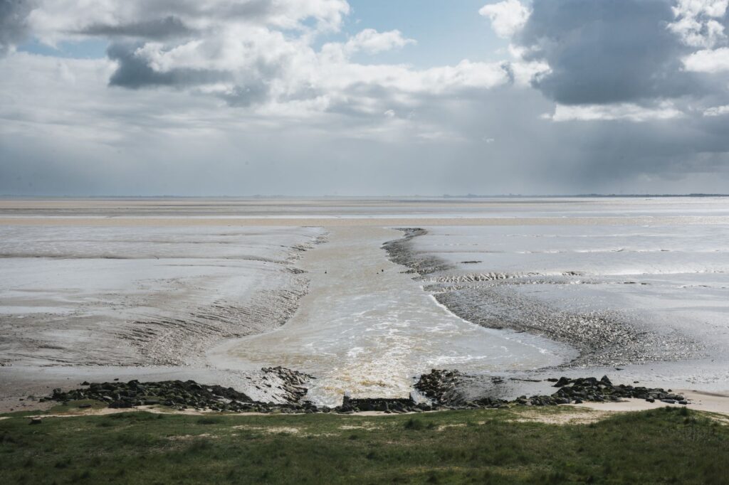
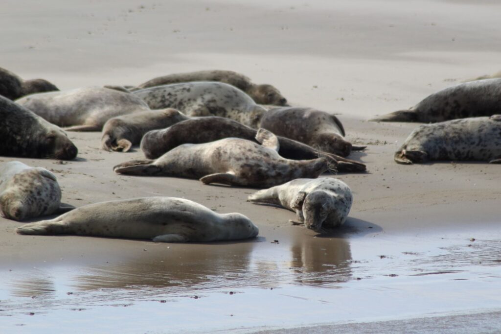
This habitat serves as a temporary and permanent home for millions of migratory birds, grey seals, harbor seals, and exceptional benthic biodiversity. UNESCO recognized this global importance by inscribing the Wadden Sea on the World Heritage List in 2009. To tour these waters sustainably, it is essential to understand that we are in a strictly regulated nature reserve, where human presence must integrate discreetly with the biological rhythms of native wildlife.
The Wadden Sea is not conquered; it is read on nautical charts and traversed with the patience dictated by tides and wind.
Planning the Crossing: Vessels, Tides, and Meteorology
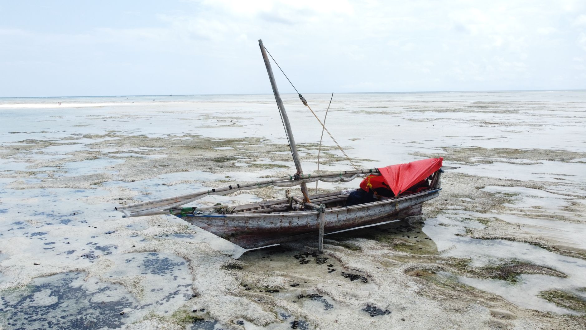
Navigating the sheltered yet treacherous waters of the Wadden requires meticulous preparation. Traditional flat-bottomed boats, known in the Netherlands as platbodems (for example, tjotters and zeeschouwen), are historically the best adapted to this region, as their design allows them to safely settle onto sandbanks as the tide recedes, a process known in seamanship as droogvallen or controlled grounding.
Modern sailors using conventional keel sailboats must exercise extreme caution. Carrying up-to-date nautical charts is mandatory, preferably supplemented by region-specific tide almanacs (such as the Getijtabellen published annually by the Dutch and German hydrographic services). Prevailing southwesterly and westerly winds can generate strong swells at the mouths of the channels, locally known as zeegaten, where the meeting between the outgoing tide and outside waves creates confused and dangerous sea conditions.
The Art of ‘Droogvallen’: Voluntary Grounding on Sandbanks
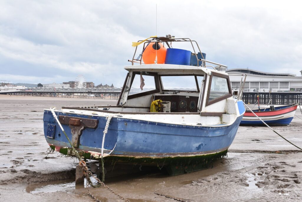
One of the most unique experiences of navigation in the Wadden Sea is droogvallen. This technique involves planning the route so that the vessel is gently deposited on the seabed of sand or silt as the tide falls. Far from being an emergency situation, it is an ancestral method to wait out the next high-tide cycle while the crew explores the seabed on foot.
To perform this maneuver successfully, areas sheltered from prevailing winds and featuring firm sandy slopes must be selected, avoiding deep muds that could trap the hull or clog engine water intakes. During low tide hours, the silence of the surroundings is absolute, interrupted only by the calls of wading birds searching for food in residual pools. It is a tangible reminder of the fragility and immense beauty of this ephemeral landscape.

Main Routes and Recommended Ports of Call
Route planning in the Frisian archipelago offers multiple options for both experienced sailors and those seeking more moderate coastal journeys. In the western sector, the interior Waddenzee channel allows protected navigation from Den Helder to the German border, crossing through areas of great scenic value.
Among the essential ports of call are:
- Texel (Oudeschild): The main port of the largest island, featuring excellent facilities and a deep fishing tradition.
- Terschelling (West-Terschelling): Famous for its historic Brandaris lighthouse, dating back to 1594, and its lively maritime atmosphere.
- Schiermonnikoog: A haven of peace where vehicle traffic is heavily restricted, ideal for connecting with insular nature.
- Borkum and Norderney (Germany): Gateways to the German section of the Wadden, combining traditional resort architecture with complex buoyed channel approaches.
Nautical Infrastructure and Connectivity in Frisian Ports
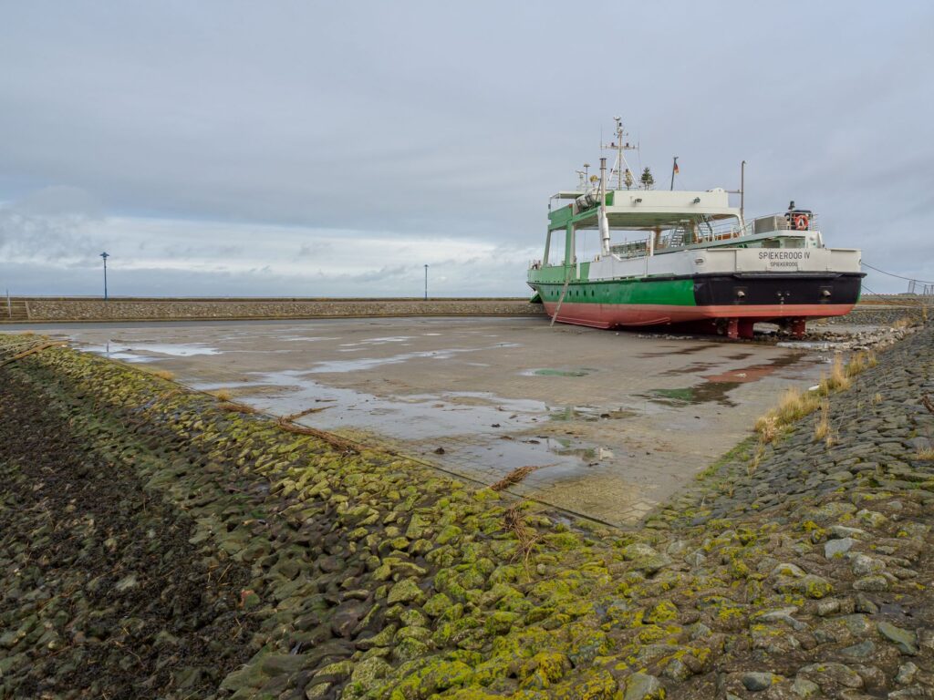
Marina and fishing ports along the continental coast and islands boast modern infrastructure that remains respectful of the environment. Ports like Harlingen and Lauwersoog in the Netherlands act as major transit hubs and departure points for passenger ferries, research vessels, and private sailboats.
Regular maritime connectivity is excellent, with passenger and vehicle ferries operating year-round between the mainland and the main Frisian islands. However, in recreational boating, services in smaller island ports may be limited outside the summer season (May to September). Verifying fuel availability, electrical supply, and draft at harbor entrances is fundamental, as constant sedimentation forces periodic dredging that alters local depths.
The Impact of Climate Change on Wadden Dynamics
The ecological balance of the Wadden Sea is currently under direct pressure from global climate change and rising mean sea levels. Scientists and environmental managers from the three bordering countries (Netherlands, Germany, and Denmark) collaborate within the framework of the Common Wadden Sea Secretariat to monitor the capacity of salt marshes and sandbanks to grow vertically at the same pace as the sea rises.
This natural sedimentation process is complemented in some areas with sustainable coastal management interventions. For the traveler, understanding this reality adds a layer of depth to the crossing: navigating these waters is not merely a recreational act, but an immersion in a crucial scientific study front for the future of low-lying coastal zones across central and northern Europe.
Practical Information for Planning the Nautical Trip
Planning an expedition to the Wadden Sea requires complying with strict regulations and essential technical requirements to guarantee the safety and legality of navigation:
- Documentation and Certification: The International Certificate for Operators of Pleasure Craft (ICC) or equivalent certification recognized by European regulations is required.
- Safety Equipment: In addition to standard coastal navigation equipment, carrying marine VHF, approved lifejackets for the entire crew, signaling flares, and anchor types suited for muddy bottoms is mandatory.
- Environmental Permits: Certain marshland zones and seal breeding areas are strictly off-limits for navigation or landing. Always consult current local restrictions (Natura 2000).
- Meteorological Monitoring: Local forecasts are constantly updated through VHF radio channels and national meteorological services such as KNMI in the Netherlands and DWD in Germany.
The intertidal marsh teaches humility to the navigator; each channel changes its profile with the tide, forcing reliance on the compass, sounding lead, and seagoing experience.
Conclusion: The Timeless Value of a Liquid Frontier
The Wadden Sea and the Frisian Islands offer a radically different navigation experience from open ocean or Mediterranean coastlines. Here, time is not measured by clock hands, but by the relentless rhythm of the tide filling and emptying channels with millimeter precision. Traversing these waters in a suitable vessel, respecting conservation regulations, and embracing the technical challenges of shallow-water navigation constitutes one of Northern Europe’s most enriching maritime adventures. A journey where seafaring skill unites with the contemplation of one of the continent’s most unique and best-preserved natural landscapes.