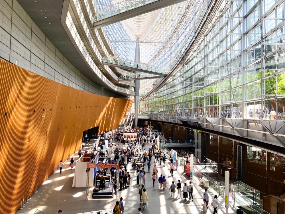
As the state operator Vy’s train departs from the dim platforms of Oslo Central Station (Oslo S) and moves past the suburbs of Drammen toward the Hallingdalselva river basin, the capital’s urban spread yields to a landscape carved from granite, dense conifer forests, and steep mountain terrain. The Bergensbanen—the 371-kilometer railway line linking Oslo with Bergen—is far more than a regional transit route; it represents one of Northern Europe’s most complex civil engineering achievements and an indispensable strategic artery for Norway’s territorial cohesion. Crossing the high-altitude pass over the Hardangervidda plateau, reaching its apex at 1,222 meters above sea level near Finse, demanded unprecedented technical ingenuity when it opened in 1909 and continues to require monumental operational discipline today.
A journey along this infrastructure provides a firsthand view of how strategic territorial planning, environmental conservation in fragile ecosystems, and winter rail engineering intersect. Gale-force blizzards, continuous snowfall, and shifting ice are routine maintenance variables for a corridor that transports millions of passengers and substantial freight tonnages annually between the North Sea and the Skagerrak.
The Genesis of a Subarctic Engineering Challenge
The proposal to connect the capital, then known as Christiania, with the key port city of Bergen via a trans-alpine rail route emerged in the mid-19th century. At the time, communication between the two cities relied almost entirely on a protracted and stormy coastal sea voyage, or on narrow mountain tracks usable only during the brief summer months. Constructing the line presented massive political and financial hurdles for a young nation that had just dissolved its union with Sweden in 1905.
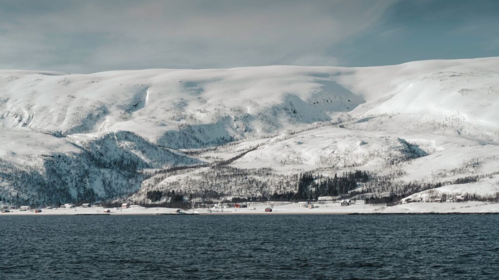
Navigating the terrain required excavating 182 tunnels manually through solid granite bedrock. Thousands of itinerant laborers, known as navarar, endured extreme alpine conditions, camping on the wind-swept plateau in sub-zero temperatures for much of the year. The opening of the high-mountain section in 1909 not only reshaped the Norwegian economy but redefined the geopolitical limits of what was achievable in subarctic railway construction. The Gravhalmen Tunnel, stretching over 5.3 kilometers, stood for decades as a landmark of European engineering due to the intricate ventilation and manual excavation challenges overcome without modern heavy machinery.
Traversing Hardangervidda: The Continuous Battle Against the Elements
The most demanding segment of the Bergensbanen stretches across the Hardangervidda plateau, Europe’s largest mountain plain. Here, the tracks lie fully exposed to North Atlantic weather systems, which dump humid, freezing air, turning the plateau into a natural testing ground for blizzard resilience and access control.
- Finse Station: Located at 1,222 meters elevation, it remains completely unreachable by road; it can be accessed only by rail or on foot.
- Snow Sheds (Snøoverbygg): Kilometers of heavy timber and concrete structures erected to prevent avalanches and drifting snow from burying the tracks.
- High-Capacity Rotary Snowplows: Specialized units deployed continuously throughout winter to clear the loading gauge ahead of scheduled trains.
To ensure uninterrupted service during harsh Scandinavian winters, Bane NOR—the public agency managing Norwegian rail infrastructure—maintains permanent maintenance crews stationed at Finse. The opening of the 10.6-kilometer Finse Tunnel in 1993 shortened the route and protected trains from the most wind-exposed sections, though operational readiness still demands round-the-clock monitoring.
blockquote>»The Bergen Line is more than a transit path; it is a steel umbilical cord laid across Europe’s hardest granite, where every winter tests the limits of human technical resolve against subarctic forces.»
The Strategic Junction of Myrdal and the Aurlandsfjord Branch
At kilometer 335 from Oslo lies Myrdal Station, perched at an altitude of 866 meters. This high-altitude operational node serves as a vital transfer point for the country’s transportation network. Branching off from here is the Flåmsbana (Flåm Railway), one of the steepest standard-gauge, non-cog railways in the world, featuring a gradient of 5.5 percent (1:18).
The branch line to Flåm plunges over 860 meters across just 20 kilometers down to the edge of the Aurlandsfjord, an arm of the vast Sognefjord. The operational integration between the high-capacity main line of the Bergensbanen and the regional and scenic Flåmsbana showcases the technical versatility of the Norwegian system. Myrdal Station acts as a vital multimodal pivot where long-distance intercity flows interface with regional transport serving deep fjord communities.
### High-Altitude Transfer Dynamics
Timetable coordination at Myrdal requires high precision. Mainline trains must synchronize smoothly with the electric trainsets of the Flåmsbana, ensuring seamless transfers for international travelers and local residents dependent on the rail line for access to major urban medical, administrative, and educational centers.
Electrification Physics and Operational Innovation at Vy
Full electrification of the Bergensbanen was completed in 1964, initiating an era of higher energy efficiency and lower environmental impact across a delicate landscape. Today, the line operates under 15 kV AC power at 16 2/3 Hz, enabling heavy-duty electric locomotives to haul long passenger trains and heavy freight compositions across steep gradients.

Regenerative braking systems on modern rolling stock convert kinetic energy generated during long descents into electrical current fed back into the overhead catenary network. This application of energy recovery significantly reduces the corridor’s overall power consumption and carbon footprint.
The Onboard Experience: Nordic Design, Space, and Deliberate Speed
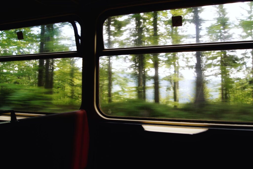
Traveling on the Bergensbanen offers an instructive lesson in how passenger-centric interior design can turn long-distance transit into a restful, contemplative experience. Rather than prioritizing extreme high-speed performance, which is impractical in this topography, the Norwegian network emphasizes reliability, generous passenger space, and visual connection with the surrounding landscape.
Rolling stock operated by Vy features wide panoramic windows equipped with anti-glare glass, dedicated family compartments, specialized storage for oversized luggage like skis and bicycles, and dining cars serving local regional cuisine from neighboring valleys. The roughly six-and-a-half-hour journey functions as a live survey of Northern Europe’s changing biome and terrain.

Practical Travel Logistics: Planning, Ticketing, and Operations
For trip planners and long-distance travelers aiming to undertake the route smoothly, attention to Norwegian transit logistics is essential.
Ticket Booking and Fares
Tickets can be secured through the national transit portal Entur or directly via the operator Vy. Booking 60 to 90 days in advance is highly recommended to secure discounted Lavpris fares. Seat reservations are mandatory on long-distance intercity runs.
Day Service versus Night Train
- Daytime Trains: Offer full visibility of the dramatic landscape transition, from lowland pine forests to the arctic terrain of Hardangervidda and down toward the western fjords.
- Night Train (Nattog): Equipped with sleeping compartments (Pluss Natt), ideal for maximizing daylight hours at destination points, though travelers forego daytime views across the plateau.
Luggage and Seasonal Weather Gear
During winter months (November through April), conditions at mountain stops can drop well below -20 °C. Layered cold-weather clothing is essential even if you do not plan to disembark for long, as unexpected weather holds or transfers can occur. Travelers combining rail transit with fjord ferries should check connections carefully at Flåm or Bergen ports.
Coexisting with the Fragile High-Altitude Tundra Ecosystem
The Hardangervidda plateau supports one of Europe’s last wild reindeer herds. The presence of the railway line, along with surrounding infrastructure, introduced a physical barrier that wildlife managers and railway authorities have worked hard to mitigate.

Bane NOR utilizes thermal imaging sensors and monitoring systems to prevent wildlife strikes. Adjustments to snow barriers and the construction of ecological wildlife corridors have helped maintain crucial migration routes for the native tundra herds.
blockquote>»Preserving the delicate balance of the Hardangervidda tundra requires the railway to coexist quietly with the ancient migration paths of the wild herds that roamed this plateau long before the tracks were laid.»
The Ringeriksbanen Megaproject and Future Nordic Mobility
Looking ahead, the planned Ringeriksbanen project promises to further modernize the corridor. This major infrastructure initiative will construct a direct rail line between Oslo and Hønefoss via Sandvika, bypassing the traditional southern loop through Drammen.
Upon completion, the shortcut will cut travel time between Oslo and Bergen by nearly an hour, enhancing the train’s competitiveness against short-haul flights. With this investment, Norway reinforces its strategy to build a green, highly efficient trans-mountain transit link embedded in Scandinavia’s unique physical geography.