Introduction to the Fluvial Arteries of the Sudanese Nile
Water has historically served as the backbone of transport and trade in the Nile Valley, long before the first asphalt roads were paved or railway tracks laid across northeastern Africa. In Sudan, where distances are vast and geographical and climatic conditions impose severe constraints on land transport, the river system is not merely a tourist option, but a vital infrastructure of connectivity. The confluence of the Blue Nile and White Nile in Khartoum marks the beginning of one of the continent’s most emblematic river routes, extending northward to the Egyptian border via the Main Nile.
Understanding transport logistics in this region requires looking beyond asphalt and delving into the complex network of passenger boats, cargo barges, and river crossings that have united isolated communities for generations. Unlike the highly technologized commercial routes of other latitudes, Sudanese river navigation operates in a delicate balance between century-old traditions and the urgent need for structural modernization and maintenance.
The Khartoum Confluence: Ground Zero of Navigation
The nerve center of any analysis regarding river transport in Sudan is Mogran, the exact spot where the dark, mineral-rich waters of the Blue Nile meet the clear waters of the White Nile. This geographical phenomenon not only defines the urban landscape of the tripartite capital—Khartoum, Omdurman, and Khartoum North—but acts as the dry port and historical starting point for navigation toward the north of the country.
From this central node, historical vessels and cargo convoys have traditionally departed laden with manufactured goods, fuel, and foodstuffs toward the north, returning with dates, agricultural products, and livestock. However, the operability of this river port faces constant challenges derived from seasonal sedimentation, extreme flow fluctuations due to monsoon rains in the Ethiopian Highlands, and a shortage of sustained investment in dredging and nautical signaling.
The Historic Ferry Fleet: Between Tradition and Wear
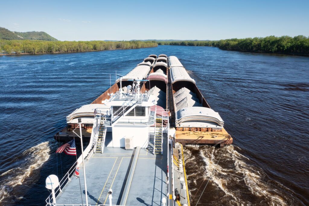
For decades, the large river ferries operating between Khartoum, Karima, and the Dongola region represented the only viable way to transport heavy cargo and hundreds of passengers across the Bayuda Desert. These vessels, many built in the mid-20th century in European shipyards and locally adapted, became authentic floating institutions where the social, commercial, and familial life of the country unfolded during multi-day journeys.
Reliance on these traditional river routes has gradually diminished due to the deterioration of the fleet and a lack of specialized spare parts for aging marine engines. Despite these structural obstacles, riparian communities continue to rely on smaller vessels, motorized feluccas, and artisanal barges for the daily crossing of people, perishable goods, and farm animals, demonstrating remarkable logistical resilience.
Port Infrastructure and the Challenges of the Main Nile
Navigating northward from Khartoum entails facing a series of cataracts and rocky stretches that have historically interrupted the continuity of the waterway, forcing travelers to combine water transport with railway or road segments. The towns of Atbara, Berber, Karima, and Dongola house the main secondary river ports, facilities that during their golden era featured steam cranes, customs warehouses, and direct connections to the national railway network.
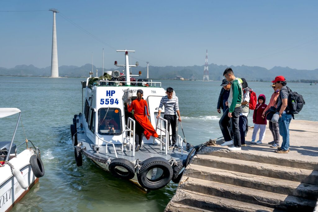
Today, river port infrastructure suffers from clear obsolescence. The lack of modern mechanized loading and unloading systems slows down logistical operations, turning the transshipment of goods into a labor-intensive process. The revitalization of these ports is an essential requirement to decongest land routes and reduce logistical costs in the northern corridor.
The Role of Navigation in Subsistence Economies
Beyond long-distance transport, the Nile serves as an indispensable local highway for the agricultural economy of river oasis settlements. The strips of arable land on both sides of the river depend on traditional and modern irrigation systems, whose machinery, fuel, and harvests are frequently transported via waterways when dirt roads become impassable during the flood season or sandstorm periods.
Local weekly markets on the riverbanks synchronize with the arrival times of commercial barges. This riparian commerce sustains the food security of thousands of families living in areas where road infrastructure is nonexistent or severely damaged by erosion and lack of asphalt maintenance.
Intermodality: The Critical Link Between River, Train, and Road
No analysis of transport in the Nile corridor can be conducted in isolation. The viability of river transport depends directly on its intermodal integration with the historic railway and national highways, such as the road linking Khartoum to the Egyptian border through the western desert.

Historically, the Sudanese transport system was conceived as a perfectly synchronized network: trains carried cargo from Port Sudan to Khartoum, where river barges transported it further into the deep north, and vice versa. The current dysfunction of several of these railway links has imposed a disproportionate burden on road transport, increasing the economic and environmental cost of mobility in the country.
Environmental Challenges and Water Management
The navigability of the Blue Nile and Main Nile depends not only on mechanical infrastructure, but on the complex geopolitics and hydrological management of the Nile Basin. The construction of large upstream and downstream hydroelectric dams, such as the Merowe Dam or projects in Ethiopia, drastically alters flow regimes, current speeds, and sediment accumulation.
These geomorphological changes generate unforeseen new sandbars and unpredictably alter navigable drafts, forcing local captains to rely on empirical knowledge passed down through generations to avoid groundings. The absence of updated navigation charts and standardized satellite positioning systems adds a permanent risk factor to the activity.
Safety, Regulations, and Local Crews
The regulation of river transport in Sudan falls upon national and regional authorities facing severe budgetary limitations to enforce international maritime safety standards. Unlike major European or Asian rivers, the Nile lacks a unified system of buoys, night beacons, and high-speed river rescue services.
Local crews operate under extremely harsh conditions, demonstrating exceptional mastery of river currents, dominant desert winds, and the mechanics of obsolete engines. Their daily labor constitutes the true operational backbone of a transport system that survives thanks to human ingenuity and adaptability in the face of institutional adversity.
Travel Planning and Practical Information for Researchers and Observers
For professionals, researchers, and specialized travelers studying logistics and transport in northeastern Africa, it is essential to understand that classical recreational river tourism currently does not exist on the Sudanese Blue Nile. Journeys must be approached from a strictly documentary and anthropological or logistical observation perspective.
Practical recommendations include:
- Coordinate land and river travel exclusively through accredited local operators with up-to-date knowledge of security conditions.
- Secure official travel authorizations and photographic permits, as transport infrastructure is considered strategic installation.
- Avoid the peak flood season (generally between July and August), when currents hinder minor navigation and increase operational risks.
- Maintain complete logistical autonomy, including medical supplies, water, and fuel, given that support infrastructure along riparian routes is extremely limited.
Future Prospects for Fluvial Connectivity
The future of river transport on the Blue Nile and Main Nile will depend heavily on long-term political stability and the ability to attract international investment for the rehabilitation of basic infrastructure. The modernization of river ports, the introduction of shallow-draft vessels with efficient engines, and the creation of an updated regulatory framework are unavoidable steps.
blockquote>The true wealth of the Nile’s river routes lies not only in their material cargo capacity, but in their status as a living heritage of regional integration and cultural resilience in the heart of Africa.
Ultimately, navigating and studying the routes of the Blue Nile in Sudan reveals a fundamental lesson about the persistence of human infrastructure in the face of institutional abandonment and geographical difficulties. It is a reminder that rivers, rather than borders or mere water resources, were and remain the first and deepest communication pathways of civilization.