The Territory and Its Original Hydrological Layout
The Madrid district of Puente de Vallecas, located in the southeastern part of Spain’s capital, rises over a gently rolling topography that descends toward the Manzanares river valley. At an average elevation of six hundred and thirty-three meters above sea level, this territory has been historically conditioned by the presence of small streams and seasonal runoff channels that crossed the plateau before the massive urban expansion of the twentieth century. Although much of this fluvial network now flows channeled beneath the asphalt, the terrain’s water memory remains latent in the slopes of its streets and in the complex management of its underground resources.
The geological configuration of the area, characterized by tertiary sediments of sands, clays, and marls, facilitated the filtration of rainwater into small superficial aquifers. These natural springs supplied water for centuries to the orchards and agricultural operations that preceded the current working-class neighborhoods. The district’s very name evokes a fundamental crossing point over a watercourse, reminding visitors that life in this sector of the Community of Madrid depended closely on the availability of clean, accessible flows for consumption and irrigation.
Furthermore, the surrounding geography of the Spanish capital has traditionally interacted with these seasonal watercourses, shaping historical paths and rural settlements that eventually transformed into the modern urban grid. The subterranean presence of these ancient flows continues to influence civil engineering projects and urban maintenance routines throughout the district, requiring constant technical attention to prevent structural issues related to soil saturation and water accumulation.
The Transformation of the Urban Landscape and Hidden Channels
With the accelerated demographic growth that Spain experienced from the 1950s and 1960s onward, Puente de Vallecas underwent a radical transformation. The old dirt roads and open watercourses were gradually integrated into the urban fabric through concrete vaults and sewage collectors. This process, necessary at the time to prevent flooding and improve public health, profoundly altered the local hydrological cycle, disconnecting the urban surface from the original subterranean flows.
Today, the environmental challenge in this corner of Madrid consists of making that invisible infrastructure visible and mitigating the impact of urban runoff on the larger water system of the Tagus basin. Intense storms, increasingly frequent due to climate variability, test the absorption capacity of drainage systems. Therefore, urban planners emphasize the need to incorporate nature-based solutions, such as the creation of permeable surfaces and the recovery of green spaces that act as natural sponges against flood surges.
The integration of these sustainable drainage techniques represents a methodological opportunity to rethink public space. Instead of understanding the sanitation network as a mere rapid evacuation conduit, its conception is promoted as a retention system that helps flatten peak flows and reduces diffuse pollution contributed by paved road surfaces.
Resilient Biodiversity in Paved Environments
Despite the high degree of urbanization, Puente de Vallecas harbors small pockets where biodiversity finds a niche to thrive. Consolidated urban parks, street trees, and vacant lots act as ecological corridors for various bird species adapted to the anthropic environment and small invertebrates. Street trees, composed mainly of species adapted to the continental Mediterranean climate such as plane trees and elms, play a crucial role in microclimatic regulation and the partial retention of rainwater.
Urban vegetation management policies have evolved in recent years toward more sustainable maintenance models, reducing the use of chemical products and promoting functional biodiversity. These practices not only improve air quality, but also encourage the creation of microhabitats for pollinators and local avifauna, demonstrating that even in the densest urban fabrics it is possible to maintain a basic ecological balance between human activity and the natural environment.
The presence of these green areas contributes decisively to mitigating the urban heat island effect, a phenomenon especially intense during the summer months in the densely built districts of the southern region of Spain. The selection of plant species with lower water requirements also guarantees the viability of these arboreal masses in a context of recurring water scarcity.
The Historic Relationship Between Local Communities and Water
The social history of Puente de Vallecas is closely linked to neighborhood struggles for access to basic services, among which drinking water supply and proper channeling occupied a central place during the development of self-built neighborhoods. Neighborhood associations played a decisive role in demanding dignified infrastructure, transforming the urban landscape through citizen pressure and community solidarity.
This historical bond with water resources has evolved into a heightened awareness of environmental sustainability. Current citizen initiatives promote the care of public spaces, the reduction of energy consumption, and the valorization of the district’s natural heritage. The memory of water is no longer understood solely as a resource to be exploited, but as a heritage and ecological element that must be protected to guarantee the future habitability of the Madrid territory.
Local associationism remains a fundamental pillar for promoting environmental education projects and raising awareness about the importance of conserving natural resources at the neighborhood scale. Through workshops, guided tours, and participation forums, residents consolidate a sense of belonging based on respect for the environment and the recovery of the collective memory of the territory in Spain.
Criteria for a Respectful and Low-Impact Visit
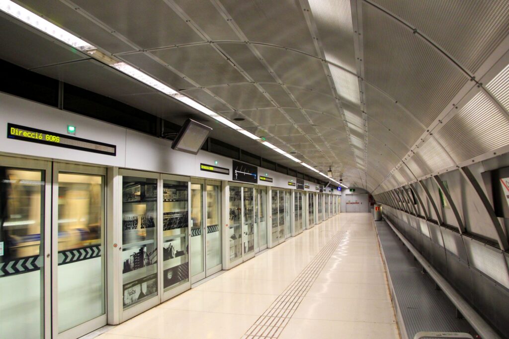
Exploring a densely populated urban environment like Puente de Vallecas from a low-impact perspective requires adopting practices that value both its historical heritage and its current ecosystem reality. The conscious traveler must prioritize the use of public transport, taking advantage of the excellent metro and bus network that connects the district with the center of Madrid, thereby minimizing the carbon footprint associated with travel.
Likewise, respect for local green spaces and participation in cultural activities organized by neighborhood entities allow visitors to understand the identity of the place without altering its daily dynamics. It is recommended to tour traditional markets, support local commerce, and observe popular architecture that reflects the social evolution of southeastern Madrid, promoting an inclusive, critical urban tourism that is respectful of the resident community.
Adopting an attitude of active listening toward neighborhood dynamics enriches the visitor experience, allowing them to discover the cultural wealth that transcends conventional tourist circuits. The adoption of respectful guidelines ensures that the flow of visitors contributes positively to the local economy without generating tensions in the shared public space.
Practical Guide
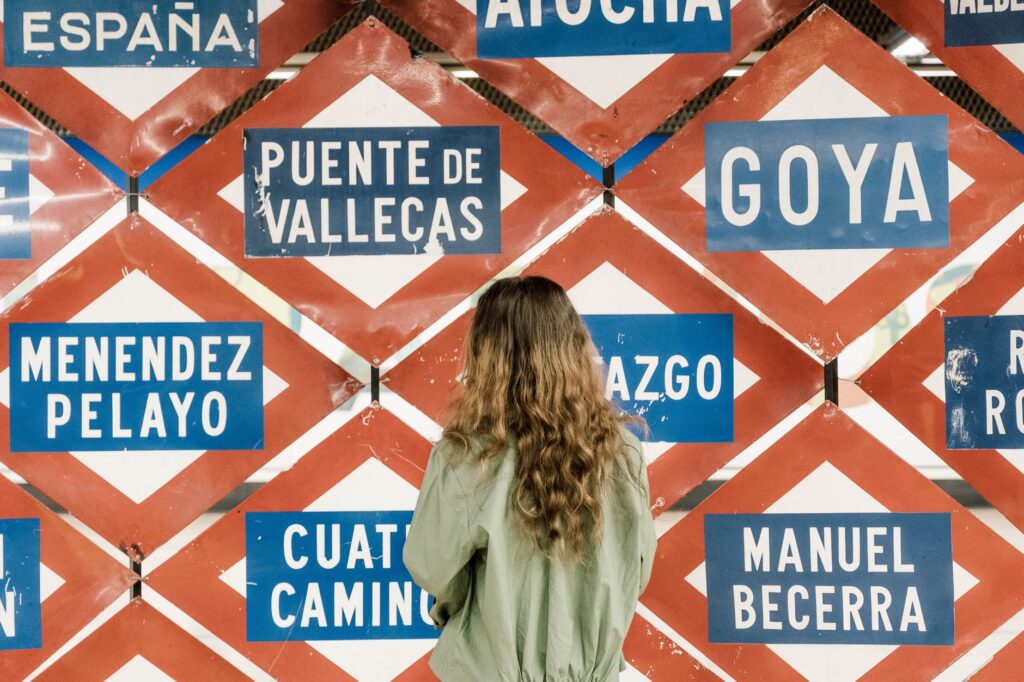
How to get there: The district is perfectly connected via Madrid Metro Line 1 and several commuter rail and urban bus lines that link with the city center in just a few minutes.
When to go: Any time of year is suitable, although spring and autumn offer more pleasant temperatures to explore the district’s open spaces and parks on foot.
Getting around: The exclusive use of public transport, bicycles, or walking is recommended to explore the different neighborhoods and boulevards.
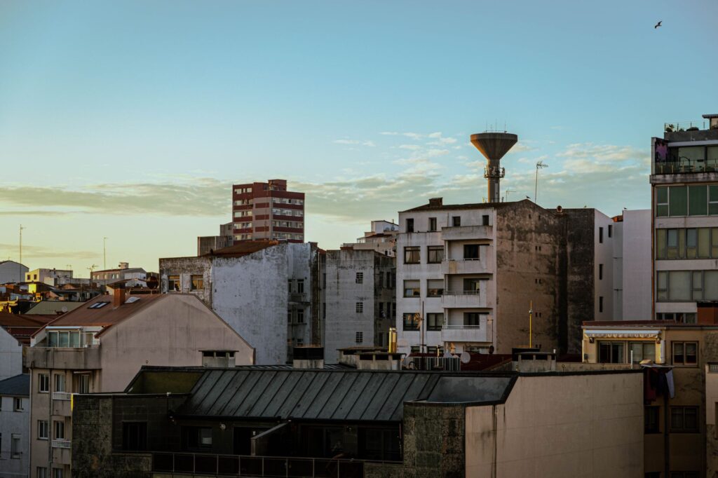
Accommodation and dining: Small local hospitality establishments predominate; visitors are advised to patronize municipal markets and traditional restaurants to support the neighborhood economy.
The Future Balance of Southeastern Madrid
The ecological future of Puente de Vallecas depends largely on its capacity to integrate water and environmental sustainability into its future urban development strategies. As cities face global climate challenges, the protection of urban micro-ecosystems and the optimization of water management become inescapable priorities to maintain the quality of life for its more than two hundred and forty thousand inhabitants.
Ultimately, this sector of Madrid demonstrates that nature and the city are not opposing realities, but components of the same constantly evolving landscape. Attention to ecological details, respect for water memory, and the active participation of its communities ensure that Puente de Vallecas continues to write its history with an eye toward a more habitable and balanced future.