Introduction to the Ultimate Alpine Challenge
The John Muir Trail, globally renowned within the backpacking tradition simply as the JMT, represents one of the most demanding and rewarding long-distance trekking experiences on the American continent. Stretching for over three hundred miles from Yosemite Valley to the summit of Mount Whitney—the highest peak in the contiguous United States—this route winds almost entirely above eight thousand feet of elevation, immersing the hiker in a sanctuary of glacier-polished granite, turquoise alpine lakes, and ancient red fir forests. Planning an expedition of this magnitude demands absolute technical rigor, where every gram in the backpack and every tactical decision regarding high-mountain weather dictates the success of the journey.
Far from constituting a simple recreational nature walk, the John Muir Trail is a profound test of self-sufficiency and physical endurance. The route traverses some of the most remote and protected landscapes in California, including Yosemite, Kings Canyon, and Sequoia National Parks, as well as the vast wilderness areas of Ansel Adams and John Muir. Tackling this itinerary requires understanding the complex interplay between altitude, summer weather patterns, and the strict conservation regulations enforced throughout the Pacific watershed. Every year, thousands of enthusiasts apply for highly coveted permits, but only those equipped with methodical preparation manage to complete the route without serious incident.
Geography and Granitic Terrain Dynamics
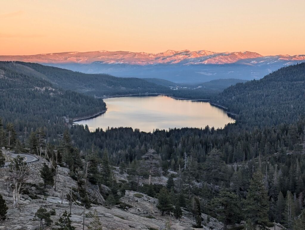
The backbone of the Sierra Nevada is overwhelmingly composed of granitic batholiths formed millions of years ago and subsequently sculpted by the advance and retreat of ice masses during the Pleistocene epoch. This geological substrate directly dictates the conditions of the march. Walkers constantly encounter smooth stone surfaces, unstable boulder fields known as talus, and zigzag trails climbing steeply up river canyon walls. Terrain stability is generally excellent compared to volcanic or clay soils, but continuous exposure to drops and relentless abrasion on joints demand technical footwear with high-traction rubber soles and optimal physical conditioning beforehand.
As the trail progresses southward, the average elevation increases gradually. River valleys give way to high plateaus where tree vegetation entirely disappears, yielding to alpine tundra, lichens, and persistent snowfields that survive even the warmest summer months. Managing cumulative elevation gain is the critical factor in this section. Typical days involve conquering mountain passes situated above eleven thousand feet, forcing the body to perform extraordinary metabolic effort due to the lower partial pressure of oxygen.
Acclimatization and Physiology at Altitude
One of the greatest mistakes novice backpackers make on the John Muir Trail is underestimating the physiological effects of altitude. Sleeping repeatedly above ten thousand feet without adequate progressive acclimatization exponentially increases the risk of developing acute mountain sickness, whose initial symptoms include persistent headaches, nausea, insomnia, and extreme fatigue. To mitigate this risk, experienced mountaineers typically spend several prior days in Yosemite Valley or the Tuolumne Meadows area undertaking smaller ascents that allow the cardiovascular and ventilatory systems to adapt gradually.
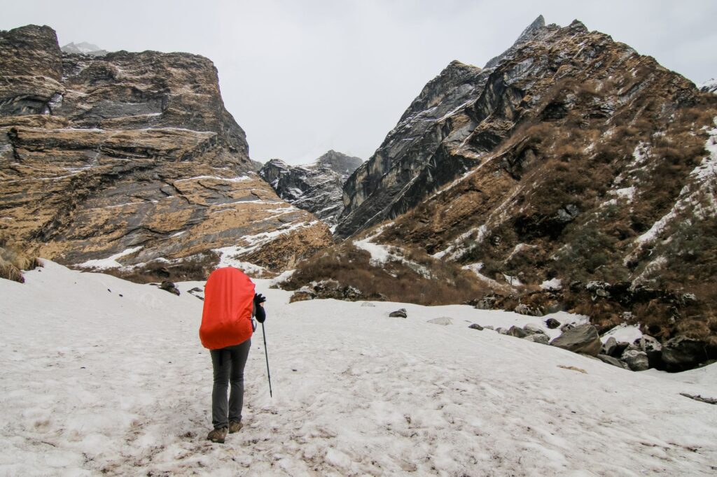
Hydration and nutrition play a decisive role at these elevations. The lower relative humidity of alpine air accelerates imperceptible dehydration through breathing, while daily caloric expenditure can easily exceed four thousand kilocalories due to continuous effort and nighttime cold. Maintaining a constant intake of treated water—essential to avoid pathogens like giardia present in seemingly pristine streams—and a balanced intake of slow-release carbohydrates is the only guarantee for sustaining energy levels during long days of trekking.
Summer Weather Patterns and Afternoon Thunderstorms
Summer in the Sierra Nevada is characterized by apparent anticyclonic stability that often lasts for weeks, offering clear skies and exceptional visibility. However, this morning bonanza hides a very specific meteorological pattern locally known as the summer monsoon or afternoon convective storm season. Between the months of July and August, accumulated evaporation in the low valleys generates warm, moist air masses that rise rapidly toward the peaks, condensing into towering vertical development clouds around midday.

These storm formations are frequently accompanied by intense lightning, sudden hail, and gale-force winds in exposed mountain passes. The golden rule for any trekker on the John Muir Trail is to start walking before dawn—typically between five and six in the morning—with the objective of conquering mountain passes and descending to sheltered areas before the first storm cells begin forming over the ridges. Disregarding this pattern exposes the hiker to extreme vulnerability from lightning strikes in terrain completely devoid of trees.
Supply Logistics and Bear-Proof Food Canisters
Because the trail runs almost entirely through pristine wilderness and heavily protected national parks, it completely lacks intermediate commercial infrastructure such as staffed mountain refuges, grocery stores, or restaurants. This condition of absolute self-sufficiency requires months of advance planning for the resupply strategy. Expedition members must carry all necessary food in their backpacks for stretches ranging between five and ten days of autonomy, or else organize complex systems to pick up food packages at secondary road-accessible points such as Muir Trail Ranch, Vermilion Valley Resort, or Independence.

The alpine nature of California does not negotiate with improvisation; it demands absolute respect for its rhythms, its peaks, and its fragile ecological balance.
Furthermore, federal conservation legislation strictly mandates the use of approved rigid containers to store food and scented products—including toothpaste and sunscreens—to prevent North American black bears from habituating their diet to human food. These polymer or carbon fiber drums add considerable weight and uncomfortable rigidity inside the backpack, forcing hikers to select highly dehydrated and calorie-dense foods that minimize total volume without sacrificing essential nutritional intake.
River Crossings and Snowmelt Dynamics
Depending on the amount of snow accumulated during the preceding winter, the start of the summer season on the John Muir Trail can present one of the most complex technical challenges of the entire traverse: unbridged river crossings. Crystal-clear streams that barely wet the ankles in autumn turn into furious torrents of freezing water in early summer, fed by accelerated snowmelt under intense midday solar radiation. Overcoming these watercourses requires assessing current velocity, depth, and water temperature with utmost precision.
Experienced mountaineers typically apply strict protocols for river crossings: unbuckling backpack hip belts to instantly discard the pack in case of a fall, using trekking poles to create a stable tripod, and in extreme situations, forming human chains or using safety ropes. Frequently, the wisest strategy is to wake up drastically early to cross the most critical points first thing in the morning, when nighttime temperatures have temporarily slowed the rate of snowmelt and discharge reaches its lowest daily level.
Practical guide
Planning the expedition to the John Muir Trail requires rigorously addressing a series of technical, administrative, and operational guidelines verified by national park management authorities in California.
- Access permits: Applications must be managed through the federal Recreation.gov system up to six months in advance via a highly competitive lottery process.
- Recommended season: The optimal window is between mid-July and early September, when most mountain passes are free of deep snowpack.
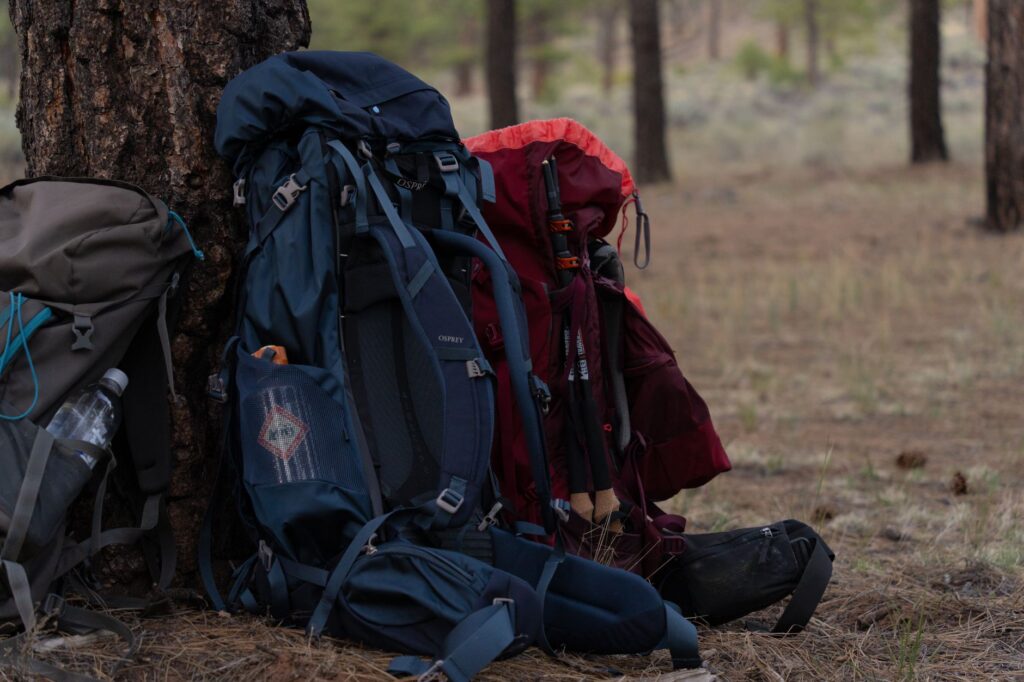
- Mandatory equipment: Rigid bear-proof container, water filtration or chemical purification system, advanced first-aid kit, and lightweight shelter resistant to alpine winds.
- Cartography: Combined use of waterproof printed topographic maps and GPS navigation devices with backup battery packs.
- Waste management: Strict Leave No Trace principle, requiring packing out and carrying all waste, including hygienic and organic refuse.
Emotional Epilogue: The Silence of Golden Granite
When the evening light begins to dye the high peaks of the Sierra Nevada with a characteristic copper and golden hue—a phenomenon known locally as alpenglow—the accumulated physical effort of endless days dissolves before the vastness of the landscape. Camping next to an alpine lake reflecting the silhouettes of granitic peaks while the wind slowly dies down is an intimate reward that transcends mere athletic achievement. The John Muir Trail is not merely a line drawn across maps and rocks, but an inward journey toward simplicity, where the hiker understands their true dimension against the timeless grandeur of California’s wild nature.