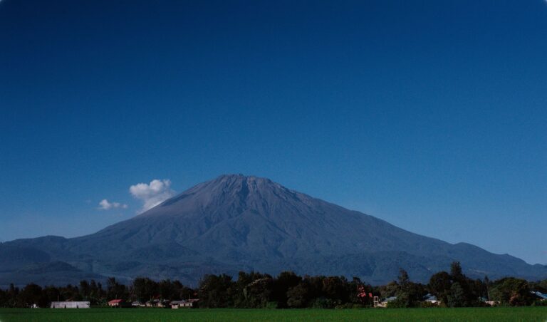
Introduction to Fiji’s Eastern Frontier
The Lau Archipelago stretches as a discontinuous backbone between the Koro Sea and the western expanse of Polynesia, operating as a diffuse frontier where the administrative authority of Suva dilutes across thousands of square kilometers of cobalt-blue ocean. To understand the reality of these volcanic islands and coral atolls, one must examine a transport system as precarious as it is vital, an intermodal fabric where geography imposes its own unrelenting rules. Far from the mass tourism routes supporting the economy of western islands like Viti Levu, Lau represents an exercise in logistical endurance where every sack of flour, every fuel drum, and every passenger relies on a millimetric synchronization between tides, tropical weather, and reinforced-hull vessels.
The reliance on maritime and aerial transport in this region is not a recreational choice, but an existential condition. The islands, separated by distances ranging from tens to hundreds of nautical miles, lack modern port infrastructure in the vast majority of their enclaves. Here, the arrival of a cargo and passenger vessel is not announced via digital screens or automated announcements, but through the careful observation of the horizon and the reception of meteorological reports on shortwave radio frequencies. This report examines the architecture of mobility in eastern Fiji, unravelling how local operators, cabotage captains, and island communities daily defy geographical isolation.
The Geography of Isolation in the Koro Sea
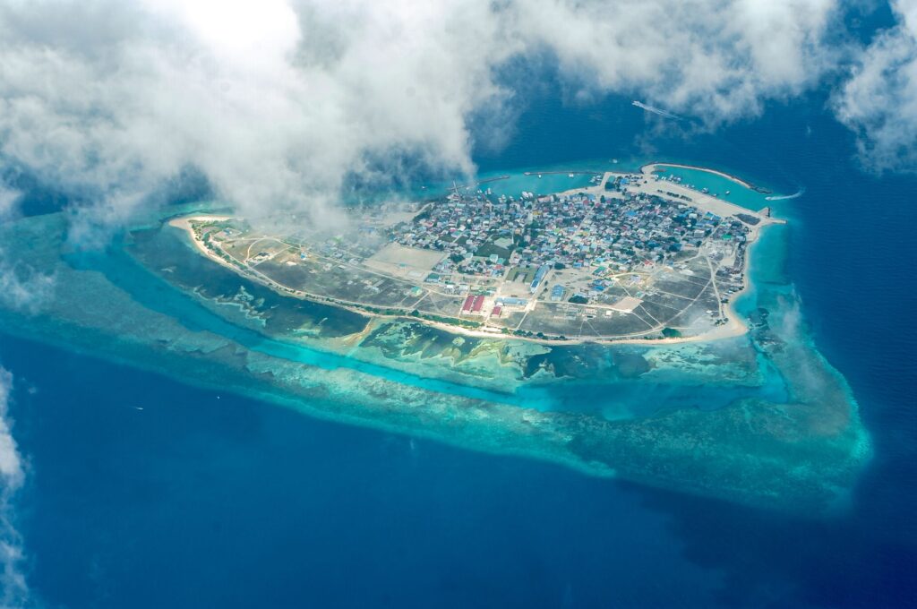
The topography of Lau is radically divided between high volcanic islands—characterized by steep slopes, narrow valleys, and dense vegetation—and low atolls formed on fossilized coral reef platforms. This geomorphological duality completely determines the nature of access points. While volcanic islands like Lakemba or Nayau offer slightly wider land spaces for rudimentary runway layouts, atolls like Fulaga or Ongea Levu feature shallow interior lagoons where navigation demands a profound empirical knowledge of open channels through barrier reefs.
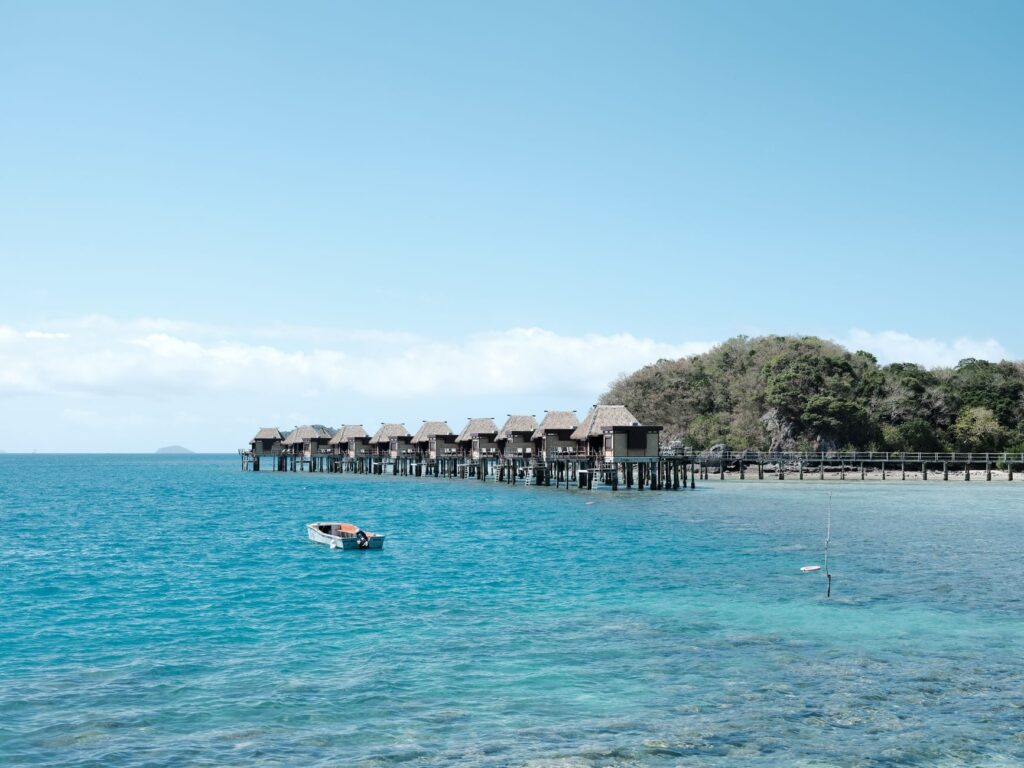
The southeast trade wind regime dictates the rhythm of all transport activity for much of the year. Between May and October, the force of these winds generates rolling seas and complex surface currents that complicate the approach of medium-sized vessels. During the tropical cyclone season, officially spanning from November to April, the vulnerability of routes multiplies exponentially. Natural harbors are scarce; most anchorages consist of shelters protected by outer reefs where surf can transform a seemingly safe unloading zone into a deadly trap for landing craft.
The Cabotage Fleet: The Maritime Umbilical Cord
Maritime traffic constitutes the backbone of the transport system in the Lau Archipelago. Small mixed merchant vessels, locally known as cabotage ships, depart periodically from the capital port of Suva laden with basic necessities, construction materials, and diesel fuel in metal drums. These ships, frequently exceeding decades of active service, combine general cargo holds with decks adapted for passenger transport who overnight outdoors or in shared multi-tier bunk compartments.
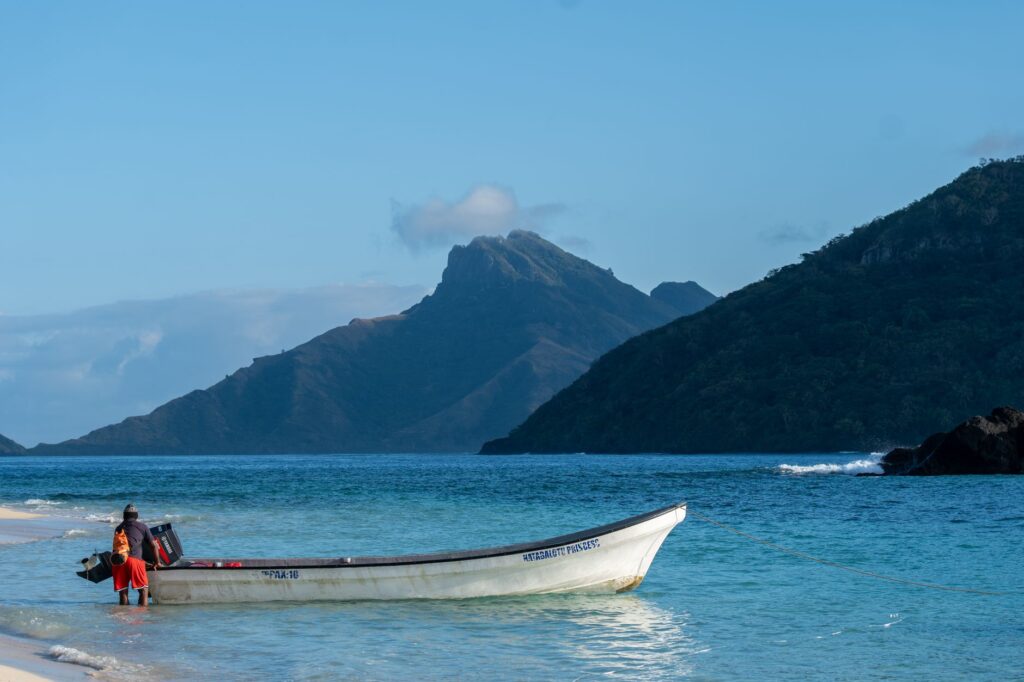
Unloading operations in the Lau islands are a choreography of artisanal precision. Given that deeper-draft vessels cannot dock ashore due to shallow coastal waters, secondary transshipment is required. Motorized barges and aluminum boats known as fiberglass punts travel from the beach to the side of the ship anchored in open water. Sailors must calculate the exact moment when an ocean wave crest lifts the dinghy to the exact level of the freighter’s gunwale to transfer cargo by hand, a procedure that entails evident physical risks and requires exceptional seamanship.
The sea in Lau is not a conventional communication route, but a shifting territory where collective survival depends on reading coral reefs and absolute respect for natural cycles.
Transit times are markedly elastic. A voyage from Suva to southern group islands, such as Ono-i-Lau, can last between thirty and sixty hours depending on intermediate stops, sea conditions, and the volume of cargo to be handled at each atoll. This temporal variability complicates any strict logistical planning, forcing residents and occasional visitors alike to embrace a radical flexibility in their schedules.
Coralline Grass Aviation: Peripheral Runways
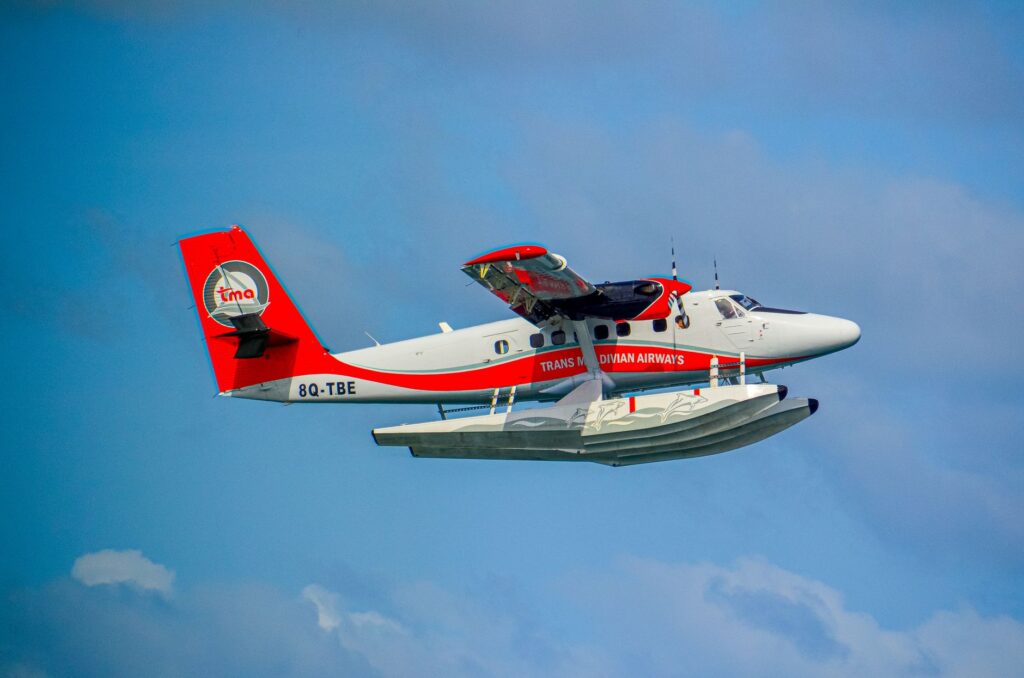
When maritime transport becomes unviable due to medical emergencies or temporary cargo restrictions, light aviation becomes the sole rapid bridge to the country’s administrative center. The national airline Fiji Airways, through its regional subsidiary Fiji Link, operates scheduled services to a select group of islands in Lau equipped with conditioned airfields, such as Lakeba, Vanuabalavu, and Cicia.
These airport facilities radically differ from international standards. Runways typically consist of leveled strips of compacted earth, native grass, or crushed coral running parallel to the coastline or across cleared interior plateaus. Terminal infrastructure is minimal, occasionally reduced to a wooden hut where manual luggage and passenger weighing procedures take place using traditional mechanical scales. The absence of night lighting systems strictly limits operations to daylight hours, forcing the suspension of any flight if monsoonal clouds reduce visibility over mountain passes or flat atolls.
The fleet employed on these routes predominantly consists of high-wing turboprop aircraft, such as the DHC-6 Twin Otter twin-engine planes, renowned for their structural robustness and short takeoff and landing capabilities on unpaved strips. Pilots operating in this region must contend with unpredictable crosswinds generated by insular topography and the rapid formation of local convective showers, turning every flight into a constant demonstration of technical skill and empirical knowledge of the insular airspace.
Insular Mobility and Local Community Networks
Once an island in the archipelago is reached, ground transport presents its own idiosyncrasy. Paved road networks are virtually nonexistent outside main administrative settlements. Interior travel is conducted on foot via traditional trails crossing coconut plantations and tropical forests, or aboard four-wheel-drive trucks conditioned for mixed transport of people and agricultural products in open platform areas.
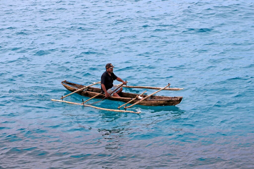
These trucks operate under informal community schemes rather than fixed timetables. Their availability is contingent upon prior fuel acquisition by local cooperatives or the need to transport cassava and taro harvests to coastal collection points. In atolls where land area is small, cycling and walking remain predominant, while movement between islets within the same lagoon is invariably carried out using outrigger canoes fitted with small outboard motors.
The management of this local mobility reflects the deep social cohesion of iTaukei (indigenous Fijian) communities. Decisions regarding the maintenance of neighborhood roads, the clearing of tidal channels, and the designation of anchorage zones are adopted through traditional assemblies where collective welfare is weighed above strictly mercantile economic efficiency.
Contemporary Challenges: Climate Change and Logistical Sustainability
The intermodal transport system of Lau faces unprecedented environmental pressures derived from global climate alteration. Gradual sea-level rise and increasing intensity of extreme weather events threaten the integrity of existing land infrastructure. Several coastal airstrips suffer recurrent flooding during spring tides combined with seasonal storms, intermittently compromising the continuity of emergency air connections.
Likewise, absolute reliance on imported fossil fuels to power both marine engines and local electrical generators exposes the region to extreme economic vulnerability. Faced with this scenario, various governmental and international organizations are exploring initiatives aimed at the energy hybridization of the minor fleet, introducing solar-assisted auxiliary propulsion systems and optimizing cabotage routes using low-consumption satellite navigation tools. However, the transition toward more sustainable logistical models advances slowly due to the high costs of transporting technological materials to such remote areas.
Practical guide
How to get to the archipelago: The mandatory starting point is Fiji’s capital, Suva, from where commercial cabotage vessels operate toward the various islands of the Lau group. Tickets must be purchased directly at Suva port shipping offices weeks in advance. For domestic flights, Fiji Link operates connections from Nausori International Airport to authorized insular airfields.
Access formalities: Due to traditional land ownership structures and strict respect for local community sovereignty, visiting most Lau islands requires prior processing of customary permits and the presentation of the formal respect ceremony to local chiefs (*sevusevu*), an indispensable protocol that cannot be omitted under any circumstances.
Best time to travel: The period between May and October offers the most stable meteorological conditions, with lower incidence of heavy rainfall and moderate trade winds that facilitate regular maritime navigation.
Accommodation and provisioning: There are no conventional hotel infrastructures or commercial tourist establishments in most Lau islands. Visitors must coordinate their stay on a family homestay basis and ensure the transport of drinking water and non-perishable food from the main island.
Emotional Epilogue on the Cicia Pier
As dusk falls over the Cicia atoll, the silhouette of the interisland freighter will cut against a sky tinted with intense ochres and volcanic ashes, suspended in the momentary stillness between low tide and the arrival of the southern night. On the salt-corroded wooden pier, the weathered faces of fishermen wait in silence for the unloading of the final bundles, while the constant murmur of breakers crashing against the outer reef recalls the immense scale of the Pacific Ocean. In this confine where modernity fades before the persistence of the sea, mobility is not merely a matter of technical ingenuity, but the daily heartbeat of a community refusing to vanish from the map.